Broadhills Plantation

Wood, Forest in Fife

Scotland

Broadhills Plantation

Junction of Hunt Place and Katrine Drive
Junction of Hunt Place and Katrine Drive Credit: Rod Allday

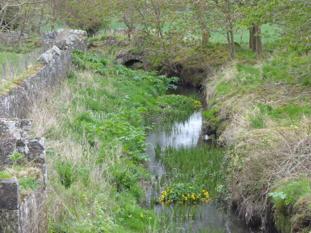
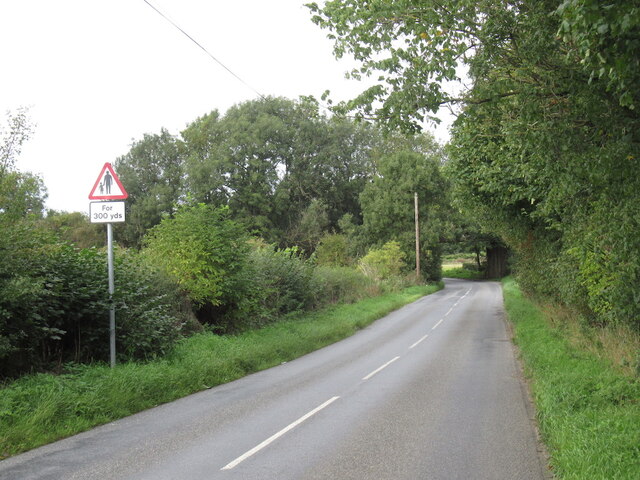
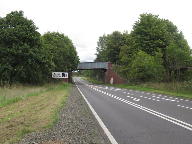
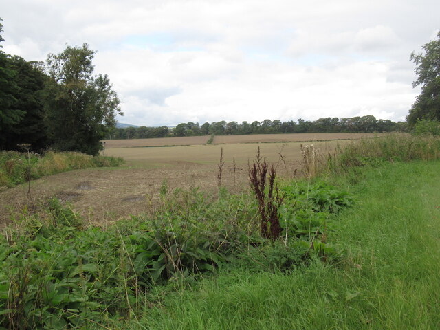
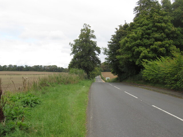
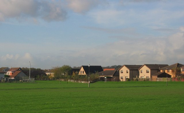
Broadhills Plantation, located in Fife, Scotland, is a sprawling woodland area known for its rich biodiversity and natural beauty. Covering an expansive area, the plantation is predominantly composed of dense forests, making it a haven for wildlife and a popular spot for nature enthusiasts.

The woodland in Broadhills Plantation is mainly composed of various species of broadleaf trees, such as oak, beech, and birch, creating a diverse and vibrant ecosystem. The dense canopy provides a habitat for numerous bird species, including woodpeckers, buzzards, and owls, as well as small mammals like squirrels, rabbits, and deer.

Within the plantation, there are well-maintained walking trails that allow visitors to explore the woodland and soak in its tranquil atmosphere. These trails wind through the trees, offering breathtaking views of the surrounding landscape and opportunities for bird watching and wildlife spotting.

Broadhills Plantation is also home to a variety of plant species, including bluebells, ferns, and wildflowers, which add color and charm to the woodland. During springtime, the forest floor becomes a carpet of vibrant blue as the bluebells bloom, creating a picturesque scene that attracts many nature photographers.

Due to its ecological significance, Broadhills Plantation is protected and managed by local authorities to ensure its preservation for future generations. The plantation serves as an important educational and recreational resource, offering visitors a chance to connect with nature and appreciate the beauty and diversity of Scotland's woodlands.

If you have any feedback on the listing, please let us know in the comments section below.

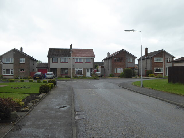
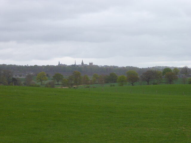
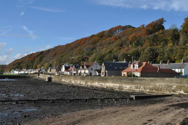
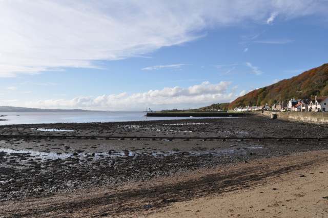
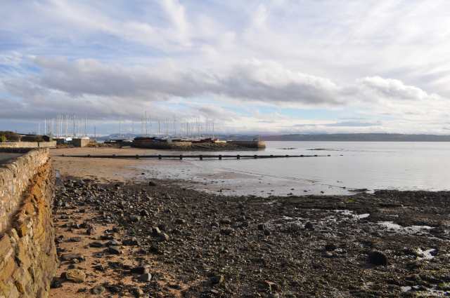
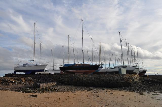
Broadhills Plantation Images

Images are sourced within 2km of 56.043584/-3.4985282 or Grid Reference NT0684. Thanks to Geograph Open Source API. All images are credited.

Junction of Hunt Place and Katrine Drive
Field on the east side of Waggon Road Looking towards Dunfermline.
Field on the east side of Waggon Road
Looking towards Dunfermline.
Crossford Burn east of Waggon Road
Railway bridge over the A985
A985 eastbound
A985 eastbound
A985 at Waukmill, Fife
View towards Dunfermline
Waggon Road Approaching a bridge carrying the railway from Dunfermline to Alloa via Kincardine, criminally underused.
Waggon Road
Approaching a bridge carrying the railway from Dunfermline to Alloa via Kincardine, criminally underused.
A985 near Gellet Without the windscreen view of the railway bridge that carried a line down to Limekilns on the Firth of Forth.
A985 near Gellet
Without the windscreen view of the railway bridge that carried a line down to Limekilns on the Firth of Forth.
Stubble near Gellet
Stubble near Gellet
B9165, south of Dunfermline
Limekilns Much of Limekilns is squeezed between the north bank of the Forth and the wooded escarpment behind it.
Limekilns
Much of Limekilns is squeezed between the north bank of the Forth and the wooded escarpment behind it.
Limekilns Harbour Looking west, the cranes at Crombie depot just visible on the horizon.
Limekilns Harbour
Looking west, the cranes at Crombie depot just visible on the horizon.
Limekilns, looking towards Brucehaven
Boats at Brucehaven Yachts high and dry on Caprenaum pier at Brucehaven.
Boats at Brucehaven
Yachts high and dry on Caprenaum pier at Brucehaven.
Brucehaven Have to resist calling it Brucehaven *harbour*, which is surely a tautology.
Brucehaven
Have to resist calling it Brucehaven *harbour*, which is surely a tautology.
Limekilns Scout Hall Quite a robust structure compared to some scouting headquarters, which fully deserve the title of scout 'hut'.
Limekilns Scout Hall
Quite a robust structure compared to some scouting headquarters, which fully deserve the title of scout 'hut'.
Old Boatbuilding Sheds, Limekilns
Show me another place!

Broadhills Plantation is located at Grid Ref: NT0684 (Lat: 56.043584, Lng: -3.4985282)

Unitary Authority: Fife

Police Authority: Fife

What 3 Words

///slime.listed.format. Near Limekilns, Fife

Related Wikis

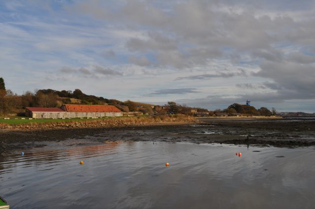
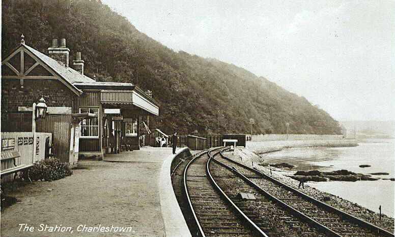
Charlestown railway station (ER)

Charlestown (ER) railway station served the town of Charlestown, Fife, Scotland from 1833 to 1863 on the Elgin Railway. == History == The station opened...

Charlestown (KL) railway station

Charlestown railway station served the town of Charlestown, Fife, Scotland from 1894 to 1926 on the Kincardine Line. == History == The station opened on...

Broomhall House

Broomhall House is the family seat of the Earls of Elgin, three miles (4.8 kilometres) south-west of Dunfermline, sitting above the village of Limekilns...
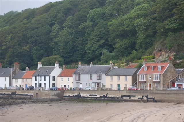
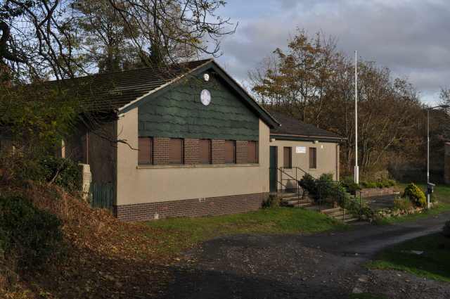
Limekilns

Limekilns is a village in Fife, Scotland. It lies on the shore of the Firth of Forth, around 3 miles (5 km) south of Dunfermline. == History and economy... ==

DM Crombie

Defence Munitions Crombie is a military munitions depot on the upper Firth of Forth in West Fife, Scotland. The depot is located on the north shore of...

Crossford, Fife

Crossford is a splendid village in West Fife, Scotland (population in 2011 was 2358). It is 1 mile (1.5 kilometres) west of Dunfermline, east of Cairneyhill...

Pattiesmuir

Pattiesmuir (formerly Pettimuir, Pettymuir and also known as Patiemuir, Patiesmuir and Peattie Muir) is a small, dormitory hamlet located in the west of...

Cairneyhill

Cairneyhill is a village in West Fife, Scotland. It is 3 miles west of Dunfermline, on the A994, and has a population of around 2,510 (mid-2020 est.)The...

Nearby Amenities

Located within 500m of 56.043584,-3.4985282
The Glen Quarry
Historic: yes
Lat/Long: 56.0394932/-3.4972892
Bus Stop
Merryhill Farm
Bench: no
Bus: yes
Lit: no
Naptan AtcoCode: 6500D9183
Naptan NaptanCode: 34346794
Passenger Information Display: no
Public Transport: platform
Shelter: no
Lat/Long: 56.0440471/-3.5049631
Bus Stop
Merryhill Farm
Bench: no
Bus: yes
Lit: no
Naptan AtcoCode: 6500D9195
Naptan NaptanCode: 34398957
Passenger Information Display: no
Public Transport: platform
Shelter: no
Lat/Long: 56.0438409/-3.5051203
Power: pole
Lat/Long: 56.0437209/-3.5043523
Power: pole
Lat/Long: 56.0433944/-3.5034793
Power: pole
Lat/Long: 56.0429939/-3.5022985
Power: pole
Lat/Long: 56.0425818/-3.501115
Power: pole
Lat/Long: 56.0430959/-3.5064281
Power: pole
Lat/Long: 56.0423105/-3.5002908
Power: pole
Lat/Long: 56.0420357/-3.4994804
Generator Method: photovoltaic
Generator Output Electricity: yes
Generator Source: solar
Generator Type: solar_photovoltaic_panel
Power: generator
Lat/Long: 56.0442862/-3.5033637
Information: guidepost
Operator: Fife Coast and Countryside Trust
Tourism: information
Lat/Long: 56.0445998/-3.5038892
Power: pole
Lat/Long: 56.0416054/-3.4916889
Power: pole
Lat/Long: 56.041668/-3.4928884
Power: pole
Lat/Long: 56.0417356/-3.4940914
Power: pole
Lat/Long: 56.0417983/-3.4951734
Power: pole
Lat/Long: 56.0418539/-3.4962892
Information: guidepost
Operator: Fife Coast and Countryside Trust
Tourism: information
Lat/Long: 56.04453/-3.5030349
The data included in this document is from www.openstreetmap.org. The data is made available under ODbL.

Have you been to Broadhills Plantation?

Leave your review of Broadhills Plantation below (or comments, questions and feedback).