Craigs Plantation
Wood, Forest in Fife
Scotland
Craigs Plantation
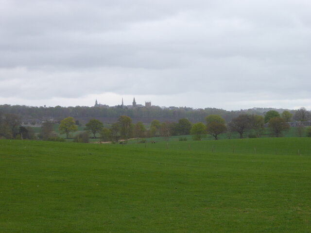
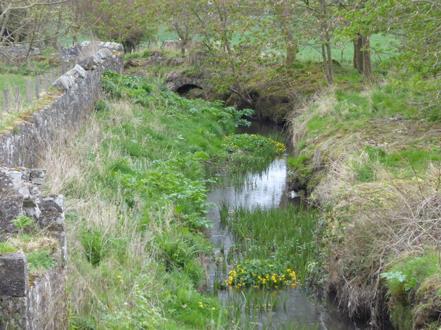
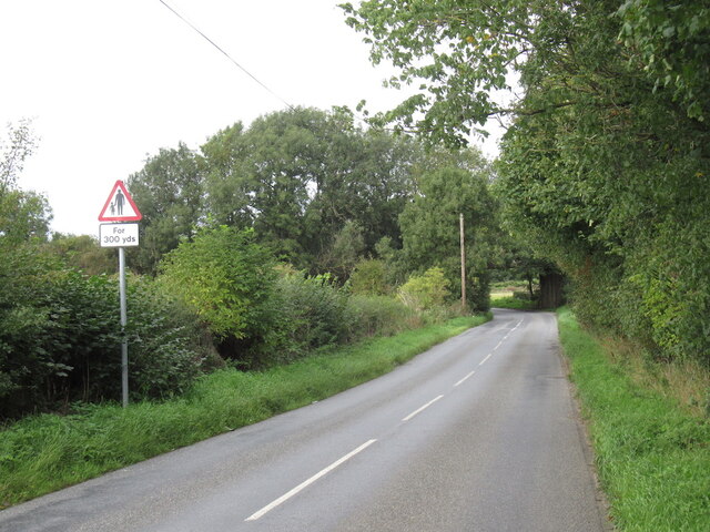
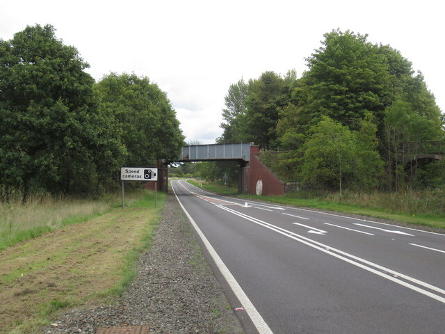
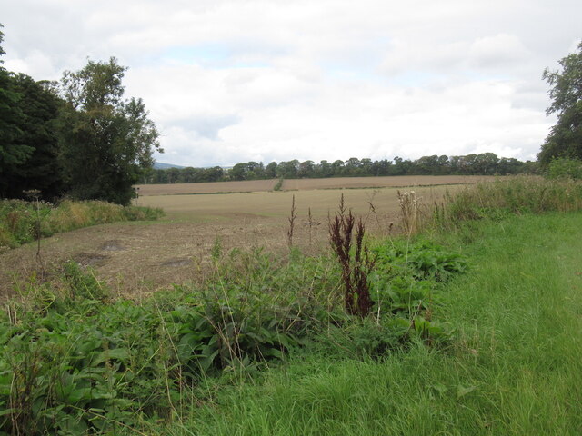
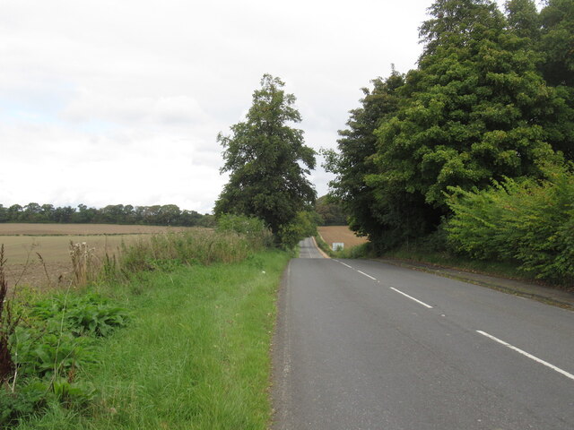
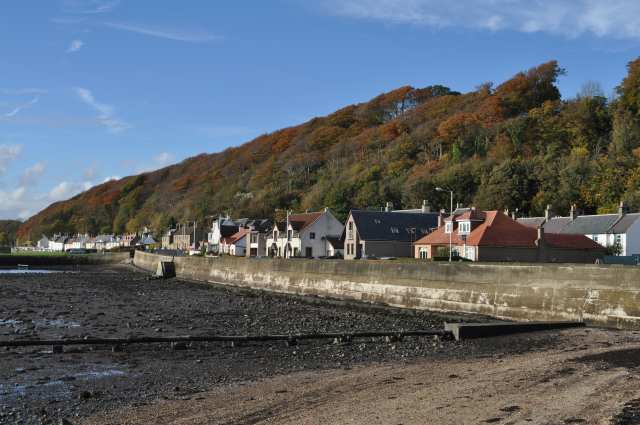
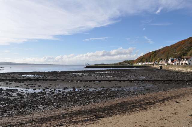
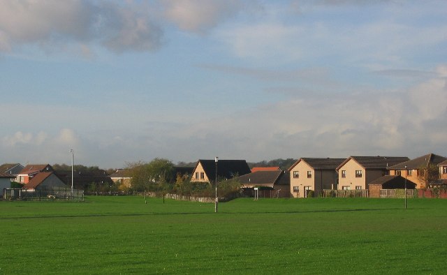
Craigs Plantation is a sprawling forested area located in Fife, Scotland. Spanning over several hectares, it is a popular destination for nature enthusiasts and outdoor adventurers alike. The plantation is characterized by its dense woodlands and diverse range of tree species, creating a vibrant and visually stunning landscape.
Situated on the outskirts of the town of Cowdenbeath, Craigs Plantation offers a tranquil retreat from the bustling city life. The forest is home to a variety of wildlife, including deer, squirrels, and a wide array of bird species, making it a haven for birdwatchers and wildlife photographers.
The plantation features a network of well-maintained trails, allowing visitors to explore the area and immerse themselves in nature. These paths cater to all levels of fitness and offer opportunities for leisurely strolls as well as more challenging hikes. Along the way, walkers can enjoy breathtaking views of the surrounding countryside and take in the fresh, invigorating air.
Craigs Plantation is also a popular spot for picnics and family outings. Its spacious clearings provide ample space for recreational activities, while designated picnic areas offer a picturesque setting for enjoying a meal amidst the natural beauty.
Overall, Craigs Plantation is a cherished natural gem in Fife, attracting visitors from near and far with its picturesque woodlands, diverse wildlife, and tranquil ambiance. Whether it's for a leisurely walk, an adventurous hike, or a peaceful picnic, this enchanting forest offers a serene escape into nature.
If you have any feedback on the listing, please let us know in the comments section below.
Craigs Plantation Images
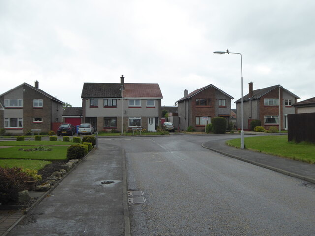
Images are sourced within 2km of 56.048024/-3.4976728 or Grid Reference NT0684. Thanks to Geograph Open Source API. All images are credited.


Craigs Plantation is located at Grid Ref: NT0684 (Lat: 56.048024, Lng: -3.4976728)
Unitary Authority: Fife
Police Authority: Fife
What 3 Words
///counts.space.taker. Near Crossford, Fife
Nearby Locations
Related Wikis

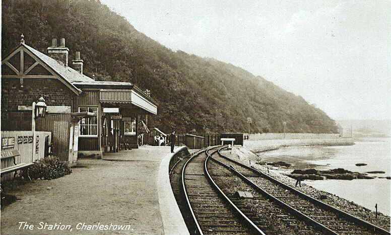
Charlestown railway station (ER)
Charlestown (ER) railway station served the town of Charlestown, Fife, Scotland from 1833 to 1863 on the Elgin Railway. == History == The station opened...
Charlestown (KL) railway station
Charlestown railway station served the town of Charlestown, Fife, Scotland from 1894 to 1926 on the Kincardine Line. == History == The station opened on...
Broomhall House
Broomhall House is the family seat of the Earls of Elgin, three miles (4.8 kilometres) south-west of Dunfermline, sitting above the village of Limekilns...
Crossford, Fife
Crossford is a splendid village in West Fife, Scotland (population in 2011 was 2358). It is 1 mile (1.5 kilometres) west of Dunfermline, east of Cairneyhill...
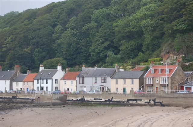
Limekilns
Limekilns is a village in Fife, Scotland. It lies on the shore of the Firth of Forth, around 3 miles (5 km) south of Dunfermline. == History and economy... ==
DM Crombie
Defence Munitions Crombie is a military munitions depot on the upper Firth of Forth in West Fife, Scotland. The depot is located on the north shore of...
Cairneyhill
Cairneyhill is a village in West Fife, Scotland. It is 3 miles west of Dunfermline, on the A994, and has a population of around 2,510 (mid-2020 est.)The...
Pattiesmuir
Pattiesmuir (formerly Pettimuir, Pettymuir and also known as Patiemuir, Patiesmuir and Peattie Muir) is a small, dormitory hamlet located in the west of...
Nearby Amenities
Located within 500m of 56.048024,-3.4976728Have you been to Craigs Plantation?
Leave your review of Craigs Plantation below (or comments, questions and feedback).