Drumad Wood

Wood, Forest in Perthshire

Scotland

Drumad Wood

Westwood, a farm
Westwood, a farm Credit: Alan Reid

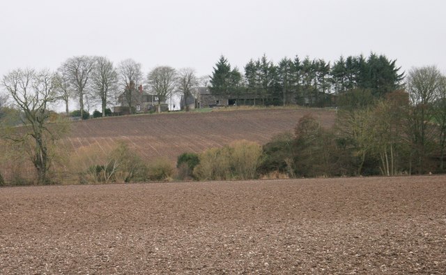
Drumad Wood is a picturesque woodland located in Perthshire, a region known for its stunning natural beauty in central Scotland. Covering an area of approximately 100 hectares, this enchanting forest is a haven for nature enthusiasts and those seeking tranquility amidst the Scottish countryside.

The wood is primarily composed of native broadleaf trees, including oak, birch, and rowan, which create a diverse and vibrant ecosystem. The dense canopy of the trees creates a cool and shaded environment, providing a welcome respite from the summer heat. In the spring, the forest floor comes alive with a carpet of bluebells, adding a touch of color and beauty to the surroundings.

Drumad Wood is crisscrossed by a network of well-maintained trails, making it easily accessible for walkers and hikers of all abilities. These paths wind their way through the woodland, offering breathtaking views of the surrounding hills and countryside. Along the way, visitors may encounter a variety of wildlife, including red squirrels, roe deer, and a plethora of bird species.

The wood also boasts a small picnic area, allowing visitors to relax and enjoy a meal amidst nature's splendor. Additionally, there are several picnic tables scattered throughout the woodland, providing the perfect spot for a leisurely lunch or a peaceful afternoon of reading.

Drumad Wood is a true gem in the heart of Perthshire, offering a serene and captivating experience for all who visit. Whether it is exploring the trails, admiring the flora and fauna, or simply soaking in the tranquility, this woodland is a must-visit destination for nature lovers and those seeking a connection with the Scottish wilderness.

If you have any feedback on the listing, please let us know in the comments section below.
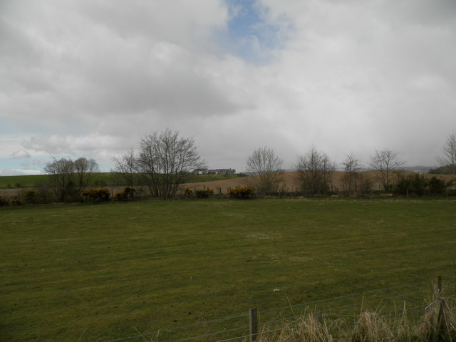
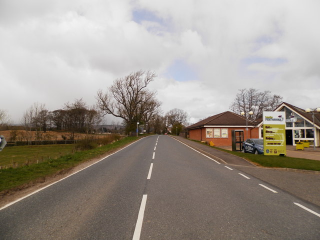
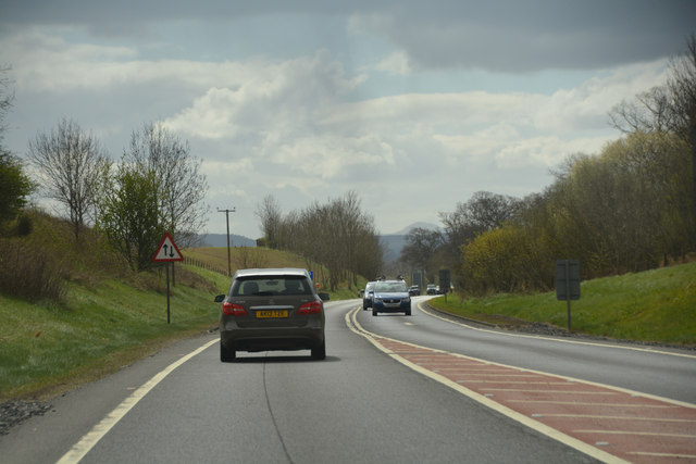
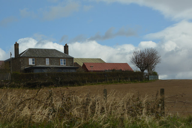
Drumad Wood Images

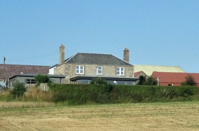
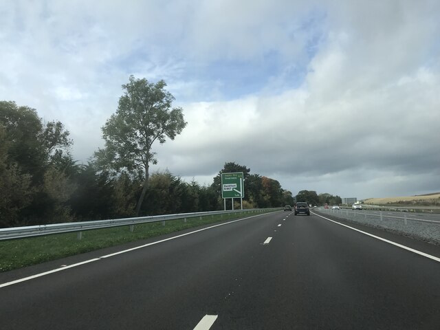
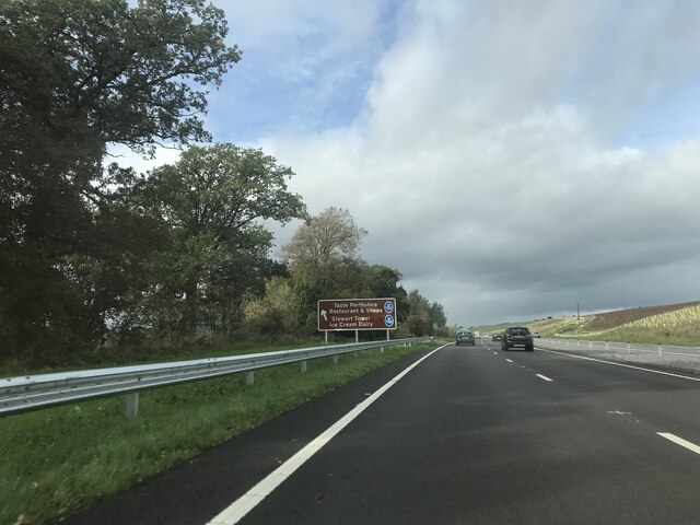
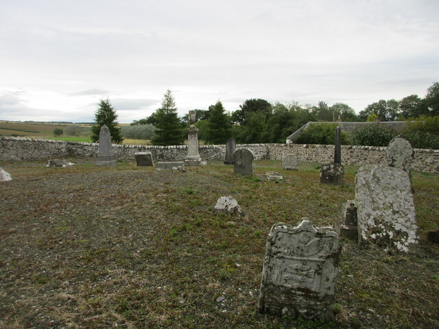
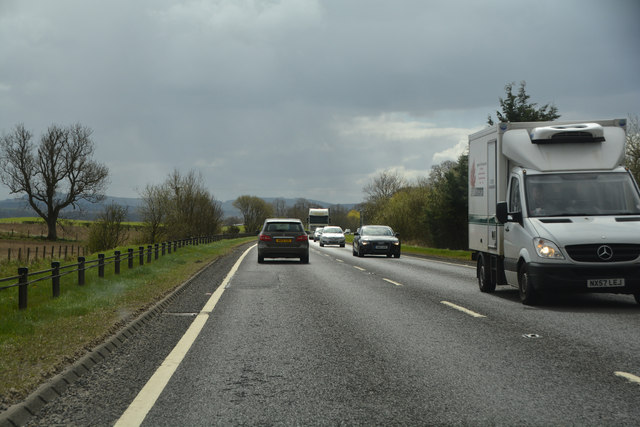
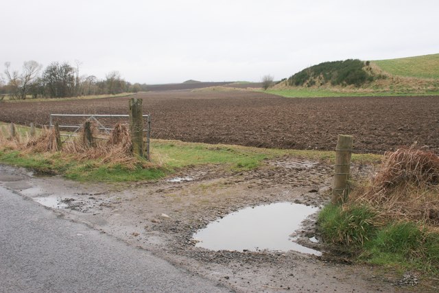
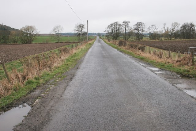
Images are sourced within 2km of 56.476936/-3.523521 or Grid Reference NO0632. Thanks to Geograph Open Source API. All images are credited.

Westwood, a farm
Westwood, a farm
A9, northbound
A9, northbound
A9, northbound The A9 is a strategic link between the Highlands of Scotland and the Central Belt. It runs 279 miles from junction 5 of the M9 at Polmont to Scrabster. Originally it ran from Edinburgh.
<span class="nowrap"><a title="https://www.sabre-roads.org.uk/wiki/index.php?title=A9" rel="nofollow ugc noopener" href="https://www.sabre-roads.org.uk/wiki/index.php?title=A9">Link</a><img style="margin-left:2px;" alt="External link" title="External link - shift click to open in new window" src="https://s1.geograph.org.uk/img/external.png" width="10" height="10"/></span>
A9, northbound
The A9 is a strategic link between the Highlands of Scotland and the Central Belt. It runs 279 miles from junction 5 of the M9 at Polmont to Scrabster. Originally it ran from Edinburgh. LinkExternal link
Signage - A9 northbound
Play Equipment at Taste Perthshire Roadside visitor centre.
Play Equipment at Taste Perthshire
Roadside visitor centre.
Logiebride Cemetery The abandoned graveyard of Logiebride at Kirkstyle, south-west of Bankfoot.
Logiebride Cemetery
The abandoned graveyard of Logiebride at Kirkstyle, south-west of Bankfoot.
Farmland at Easter Nether Blelock, Bankfoot
The B867 at the visitor centre, Bankfoot This section of road was relegated to a B road and was originally part of the A9 until an upgrade took place in the 1970's and 1980's.
The B867 at the visitor centre, Bankfoot
This section of road was relegated to a B road and was originally part of the A9 until an upgrade took place in the 1970's and 1980's.
Perth and Kinross : The A9 Looking along the A9 road.
Perth and Kinross : The A9
Looking along the A9 road.
Perth and Kinross : Westwood A house called Westwood.
Perth and Kinross : Westwood
A house called Westwood.
Perth and Kinross : The A9 Looking along the A9 road.
Perth and Kinross : The A9
Looking along the A9 road.
Perthshire Visitor Centre at Bankfoot
Field near Newmill Recently ploughed.
Field near Newmill
Recently ploughed.
Straight road The slight rise in the road is where it crosses the Ordie Burn.
Straight road
The slight rise in the road is where it crosses the Ordie Burn.
Tophead Seen from the northeast across the fields.
Tophead
Seen from the northeast across the fields.
Show me another place!

Drumad Wood is located at Grid Ref: NO0632 (Lat: 56.476936, Lng: -3.523521)

Unitary Authority: Perth and Kinross

Police Authority: Tayside

What 3 Words

///quilt.trades.claw. Near Bankfoot, Perth & Kinross

Nearby Locations

Drumad Wood

Related Wikis

Bankfoot railway station

Bankfoot railway station served the village of Bankfoot, Perth and Kinross, Scotland, from 1906 to 1964 on the Bankfoot Light Railway. In 1911, the registered...

Bankfoot

Bankfoot is a village in Perth and Kinross, Scotland, approximately 8 miles (13 km) north of Perth and 7 miles (11 km) south of Dunkeld. Bankfoot had a...

Tullybelton

Tullybelton is a hamlet located in the Scottish county of Perth and Kinross about 8 miles (13 km) north-northeast of Perth. Ian Fraser, Baron Fraser of...

Moneydie

Moneydie {/ˌmʌnˈiːˌɗiː/} is a small hamlet and former parish in Perth and Kinross. It is about 6 miles (10 kilometres) northwest of Perth. == Parish... ==

Nearby Amenities

Located within 500m of 56.476936,-3.523521
Power: pole
Lat/Long: 56.4760337/-3.5312754
Power: pole
Lat/Long: 56.4764399/-3.5299415
Power: pole
Lat/Long: 56.4769311/-3.5276718
Power: pole
Lat/Long: 56.4771316/-3.5263589
Power: pole
Lat/Long: 56.4773129/-3.5250506
Power: pole
Lat/Long: 56.4774967/-3.5238494
Power: pole
Lat/Long: 56.4776793/-3.5225411
Power: pole
Lat/Long: 56.4778747/-3.5212049
Power: pole
Lat/Long: 56.4780624/-3.519864
Power: pole
Lat/Long: 56.4782398/-3.518721
Power: pole
Lat/Long: 56.4784031/-3.5176246
The data included in this document is from www.openstreetmap.org. The data is made available under ODbL.

Have you been to Drumad Wood?

Leave your review of Drumad Wood below (or comments, questions and feedback).