Harlaypoint Wood
Wood, Forest in Perthshire
Scotland
Harlaypoint Wood
Harlaypoint Wood is a picturesque forest located in the region of Perthshire, Scotland. Covering an expansive area, it is a popular destination for nature enthusiasts and outdoor adventurers alike. The wood is nestled between the scenic hills and glens of Perthshire, offering breathtaking views and a tranquil escape from the bustling city life.
The forest is predominantly composed of towering coniferous trees, such as spruce and pine, which create a dense canopy overhead. This lush greenery provides a home to a diverse range of wildlife, including red squirrels, roe deer, and a variety of bird species. Nature lovers can delight in observing these animals in their natural habitat, making Harlaypoint Wood a haven for wildlife enthusiasts.
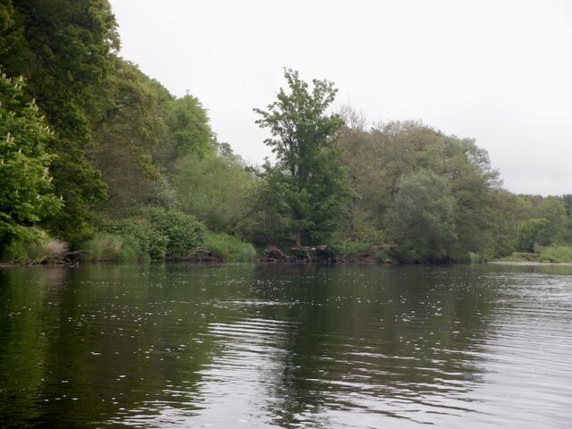
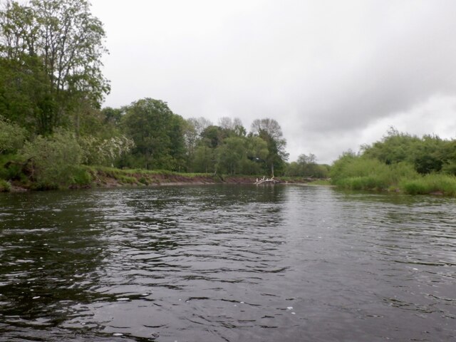
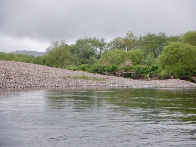
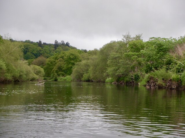
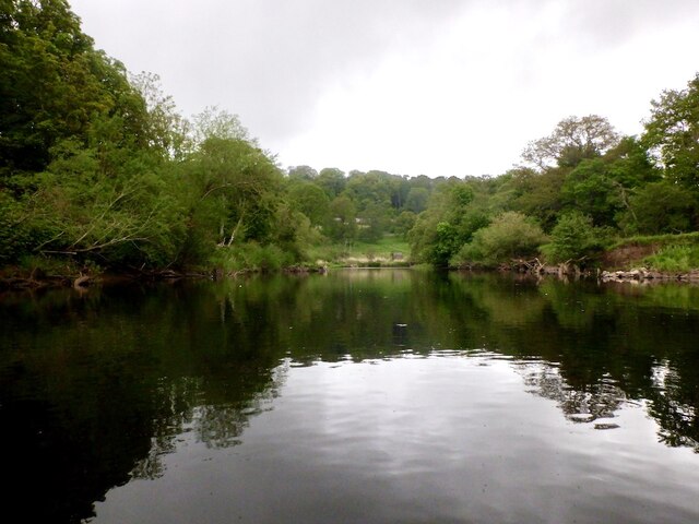
The wood boasts an extensive network of well-maintained walking trails, allowing visitors to explore its beauty at their own pace. These paths wind through the forest, revealing hidden gems such as cascading waterfalls and babbling brooks. The enchanting atmosphere of the wood is further enhanced by the presence of a small lake, where visitors can relax and enjoy a picnic while immersing themselves in the serenity of nature.
Harlaypoint Wood is not only a paradise for nature lovers, but also a place of historical significance. It is believed to have been a site of ancient settlements, with remnants of stone circles and burial mounds discovered within its boundaries. These archaeological remains offer a glimpse into the rich history and heritage of the area.
Overall, Harlaypoint Wood in Perthshire is a captivating destination that combines natural beauty, diverse wildlife, and a touch of history. Whether it's a leisurely stroll, birdwatching, or simply seeking solace in nature, this forest offers an idyllic retreat for all who visit.
If you have any feedback on the listing, please let us know in the comments section below.
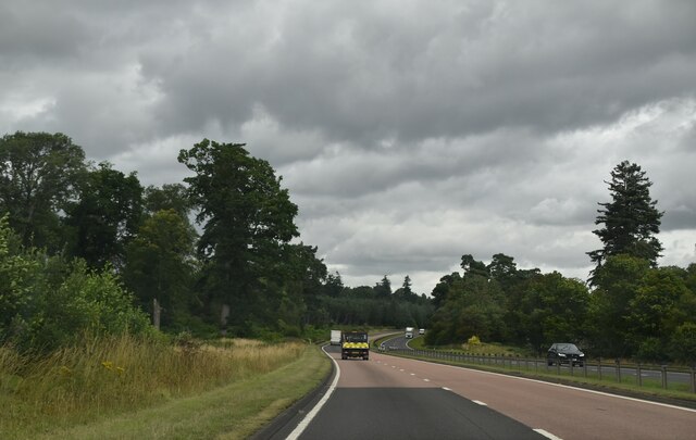
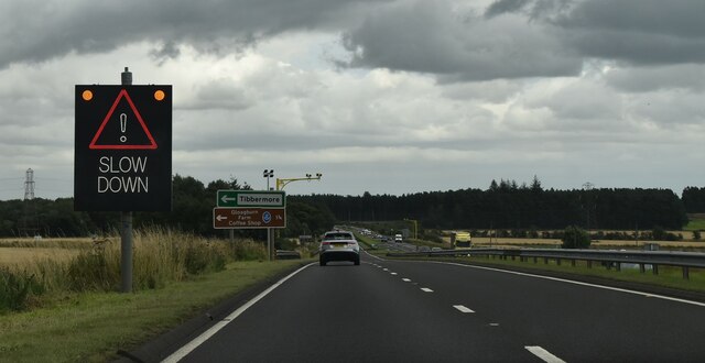
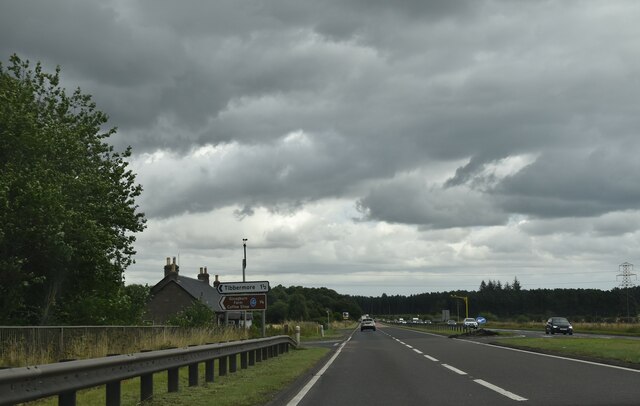
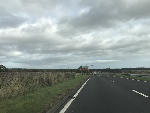
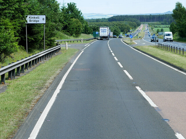
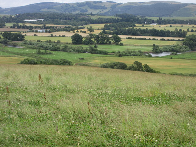
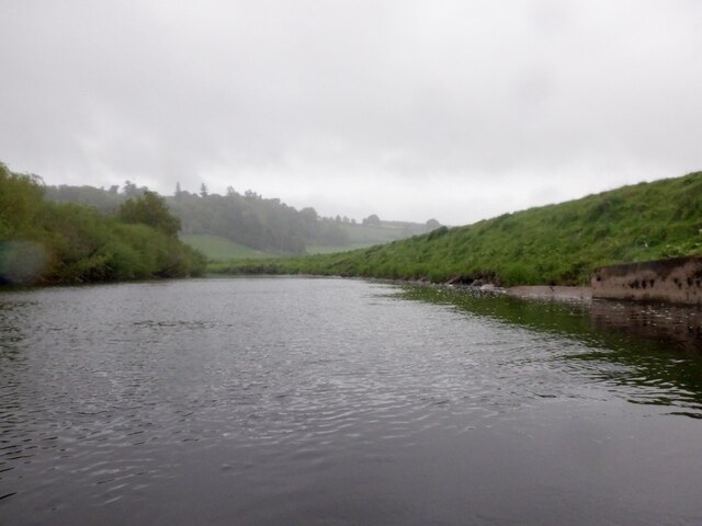
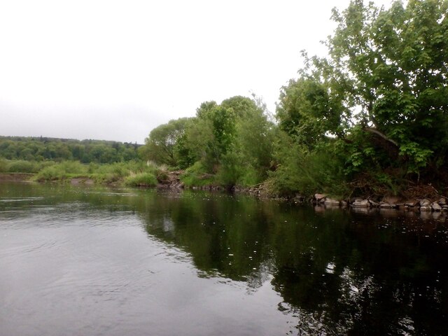
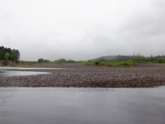
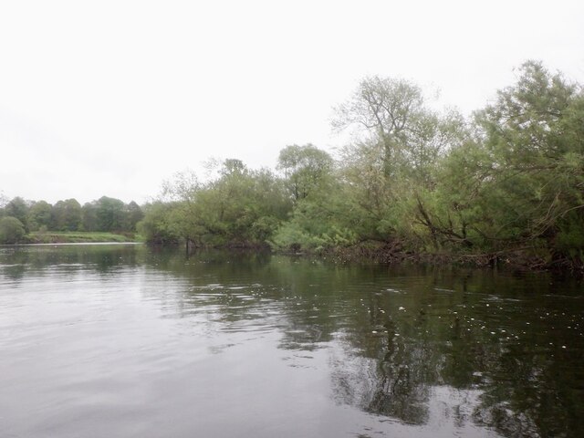
Harlaypoint Wood Images
Images are sourced within 2km of 56.366609/-3.5262064 or Grid Reference NO0520. Thanks to Geograph Open Source API. All images are credited.


Harlaypoint Wood is located at Grid Ref: NO0520 (Lat: 56.366609, Lng: -3.5262064)
Unitary Authority: Perth and Kinross
Police Authority: Tayside
What 3 Words
///prominent.diverts.amused. Near Almondbank, Perth & Kinross
Nearby Locations
Related Wikis
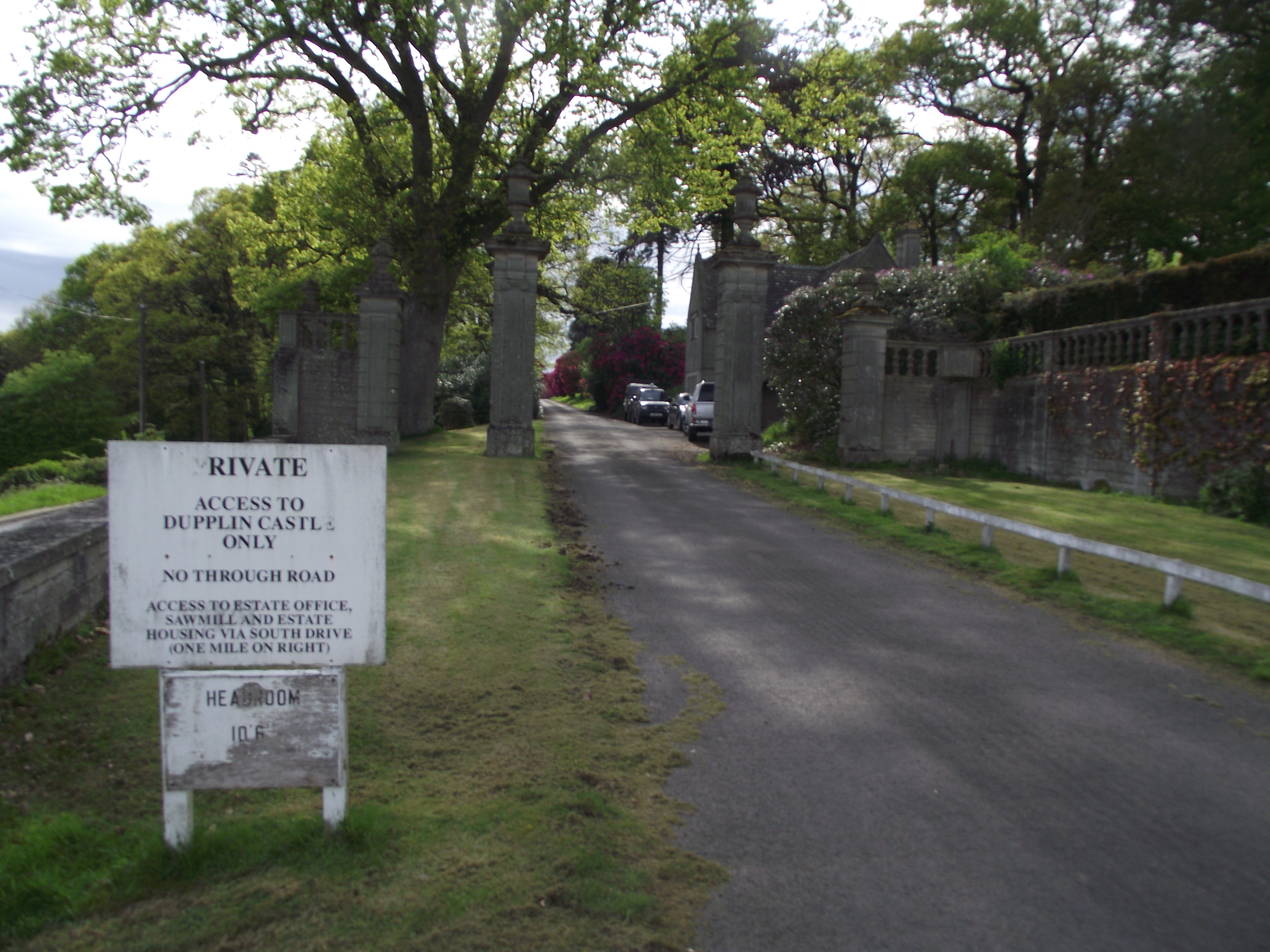
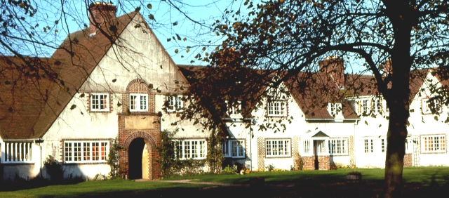
Dupplin Castle
Dupplin Castle is a country house and former castle in Perth and Kinross, Scotland, situated to the west of Aberdalgie and northeast of Forteviot and Dunning...

Aberdalgie
Aberdalgie (Gaelic: Obar Dheilgidh, 'Confluence of the Thorn-Stream') is a small village in the Scottish council area of Perth and Kinross. It is 3 miles...

Battle of Dupplin Moor
The Battle of Dupplin Moor was fought between supporters of King David II of Scotland, the son of King Robert Bruce, and English-backed invaders supporting...
Forteviot Bronze Age tomb
Forteviot Bronze Age tomb is a Bronze Age burial chamber discovered in 2009 at Forteviot near Perth, Scotland. The Bronze Age tomb is one of a number of...

Forteviot railway station
Forteviot railway station served the village of Forteviot, Perth and Kinross, Scotland from 1848 to 1956 on the Scottish Central Railway. == History... ==
Forteviot
Forteviot (Scottish Gaelic: Fothair Tabhaicht) (Ordnance Survey grid reference NO052175) is a village in Strathearn, Scotland on the south bank of the...
Forgandenny railway station
Forgandenny railway station served the village of Forgandenny, Perth and Kinross, Scotland from 1848 to 1956 on the Scottish Central Railway. == History... ==
Battle of Tippermuir
The Battle of Tippermuir (also known as the Battle of Tibbermuir) (1 September 1644) was the first battle James Graham, 1st Marquis of Montrose, fought...
Have you been to Harlaypoint Wood?
Leave your review of Harlaypoint Wood below (or comments, questions and feedback).