Oak Wood
Wood, Forest in Perthshire
Scotland
Oak Wood
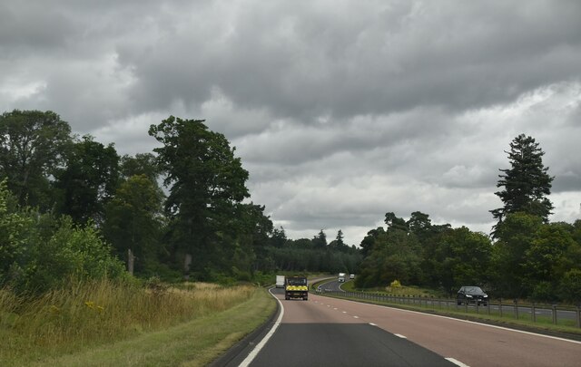
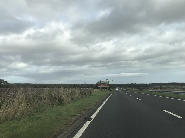
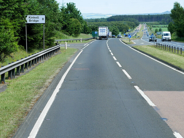
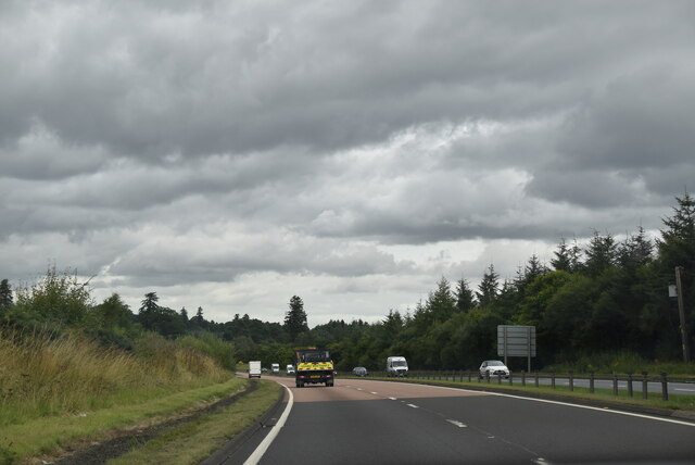
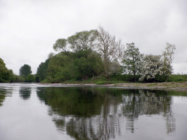
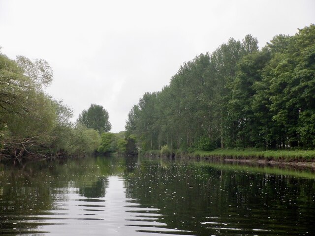
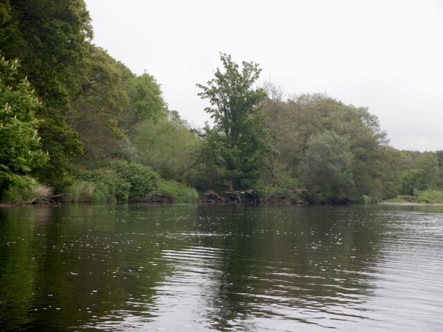
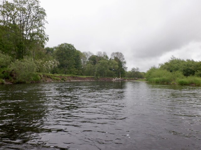
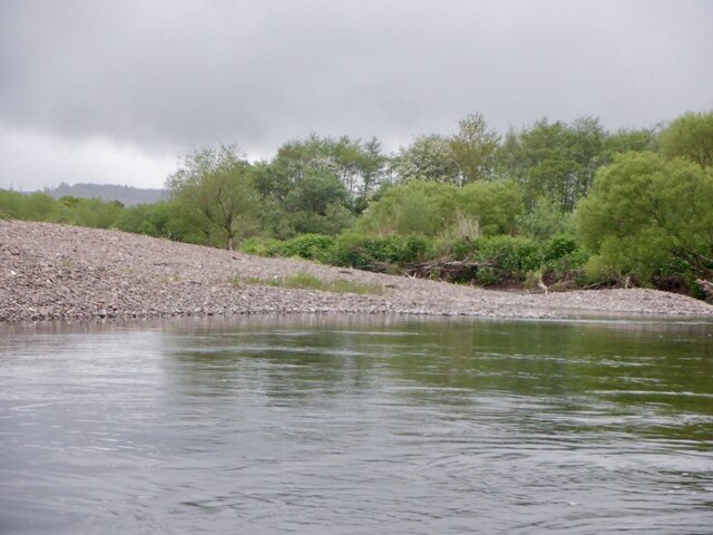
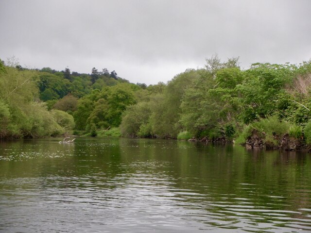
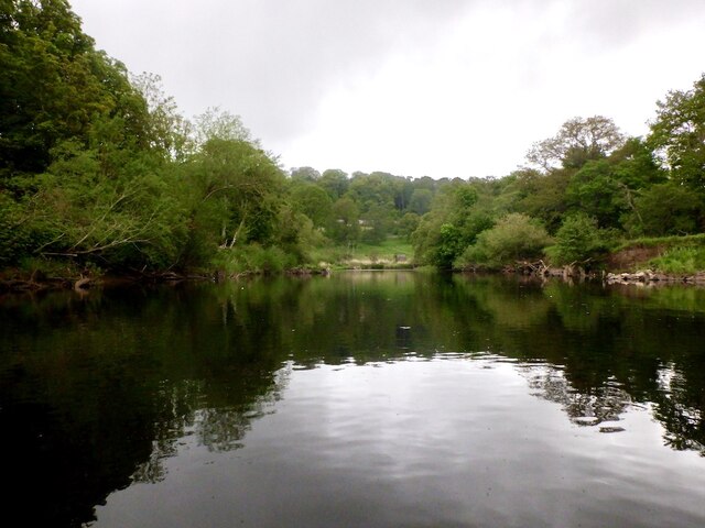
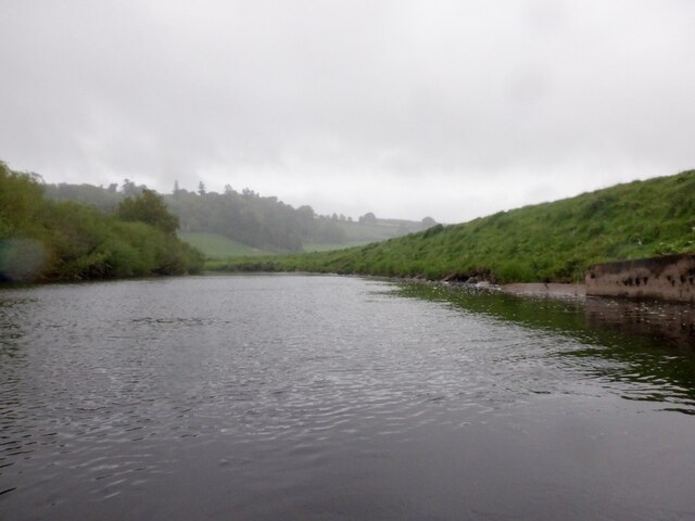
Oak Wood is a pristine forest nestled in the heart of Perthshire, Scotland. Covering an expansive area of approximately 500 acres, this woodland is renowned for its majestic oak trees and diverse wildlife. The forest is located near the picturesque village of Dunkeld, adding to its charm and accessibility.
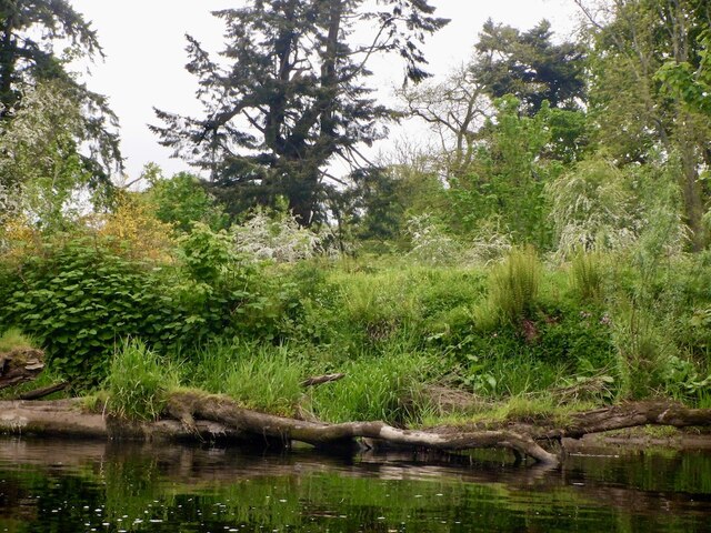
The oak trees in Oak Wood are a testament to its rich history, with some of them estimated to be over 200 years old. The forest boasts a dense canopy of these mighty trees, creating a serene and tranquil atmosphere for visitors. The woodland floor is carpeted with a variety of flora, including bluebells, ferns, and mosses, adding to its natural beauty.
Nature enthusiasts will be delighted by the abundance of wildlife that calls Oak Wood home. Red squirrels, roe deer, and a myriad of bird species, including woodpeckers and owls, can be spotted in the forest. The area is also known for its biodiversity, with numerous rare and protected species thriving in this natural habitat.
Oak Wood offers numerous activities for visitors to enjoy. A network of well-maintained trails meanders through the forest, providing opportunities for leisurely walks, hikes, and cycling. The forest is also a popular spot for picnics, birdwatching, and photography, with its scenic vistas and tranquil surroundings.
Overall, Oak Wood in Perthshire is a remarkable woodland, offering a sanctuary for nature lovers and a chance to immerse oneself in the beauty of Scotland's natural landscape.
If you have any feedback on the listing, please let us know in the comments section below.
Oak Wood Images
Images are sourced within 2km of 56.365041/-3.5360188 or Grid Reference NO0520. Thanks to Geograph Open Source API. All images are credited.


Oak Wood is located at Grid Ref: NO0520 (Lat: 56.365041, Lng: -3.5360188)
Unitary Authority: Perth and Kinross
Police Authority: Tayside
What 3 Words
///crackles.hovered.mondays. Near Almondbank, Perth & Kinross
Nearby Locations
Related Wikis
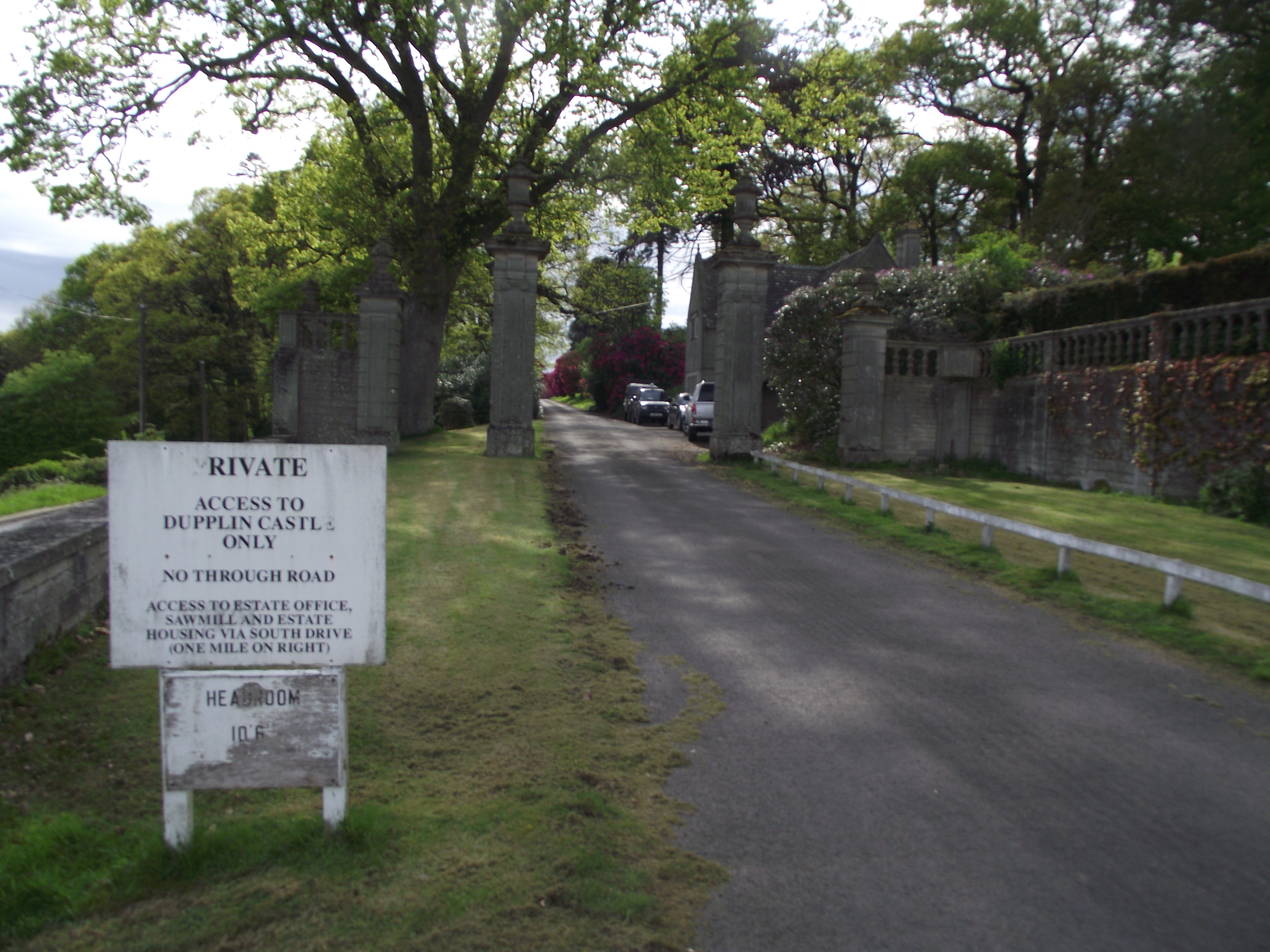
Dupplin Castle
Dupplin Castle is a country house and former castle in Perth and Kinross, Scotland, situated to the west of Aberdalgie and northeast of Forteviot and Dunning...

Battle of Dupplin Moor
The Battle of Dupplin Moor was fought between supporters of King David II of Scotland, the son of King Robert Bruce, and English-backed invaders supporting...

Aberdalgie
Aberdalgie (Gaelic: Obar Dheilgidh, 'Confluence of the Thorn-Stream') is a small village in the Scottish council area of Perth and Kinross. It is 3 miles...

Forteviot railway station
Forteviot railway station served the village of Forteviot, Perth and Kinross, Scotland from 1848 to 1956 on the Scottish Central Railway. == History... ==
Forteviot Bronze Age tomb
Forteviot Bronze Age tomb is a Bronze Age burial chamber discovered in 2009 at Forteviot near Perth, Scotland. The Bronze Age tomb is one of a number of...
Forteviot
Forteviot (Scottish Gaelic: Fothair Tabhaicht) (Ordnance Survey grid reference NO052175) is a village in Strathearn, Scotland on the south bank of the...
Battle of Tippermuir
The Battle of Tippermuir (also known as the Battle of Tibbermuir) (1 September 1644) was the first battle James Graham, 1st Marquis of Montrose, fought...

Tibbermore
Tibbermore is a small village situated about 4 miles (6 kilometres) west of Perth, Scotland. The parish extends to Aberuthven.Previously known as Tippermuir...
Have you been to Oak Wood?
Leave your review of Oak Wood below (or comments, questions and feedback).