Backhill Park
Downs, Moorland in Perthshire
Scotland
Backhill Park

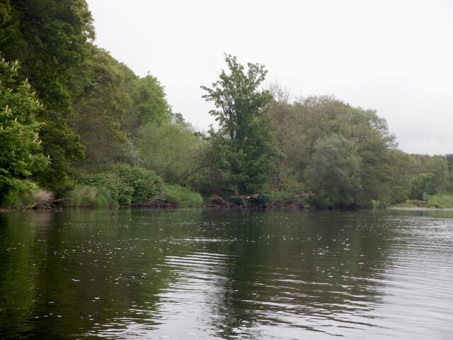
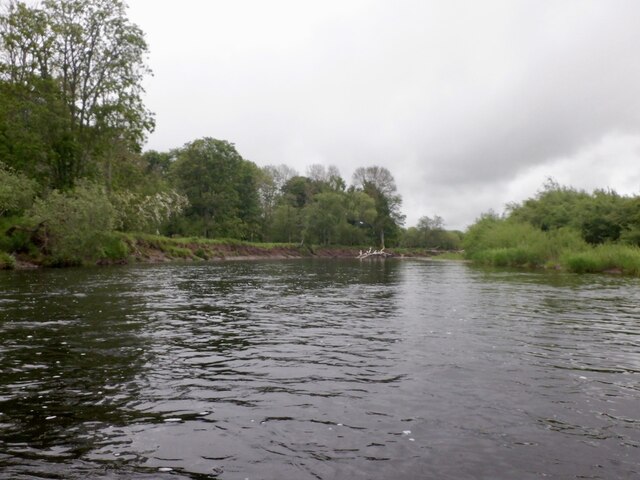
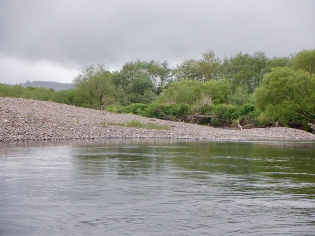
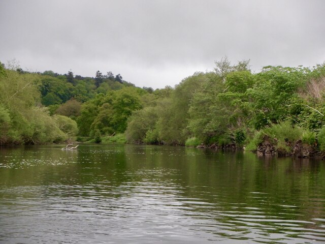
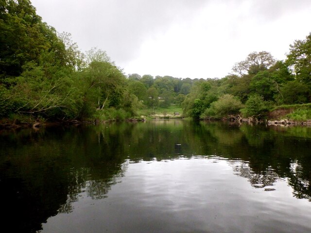
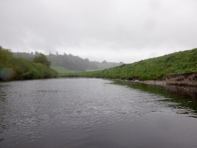
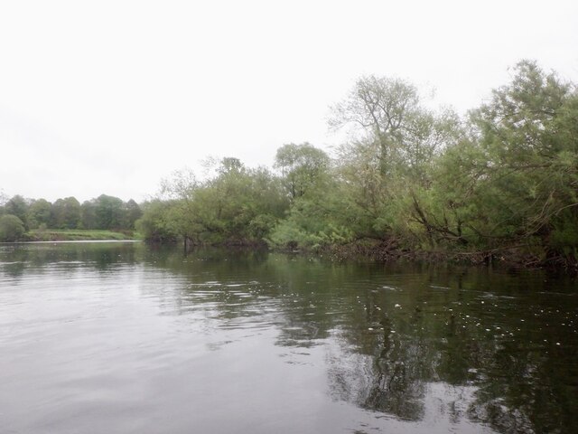
Backhill Park, located in Perthshire, Scotland, is a picturesque natural area known for its stunning downs and moorland landscapes. Spanning approximately 200 acres, the park offers a diverse range of habitats and is a haven for wildlife enthusiasts and nature lovers.
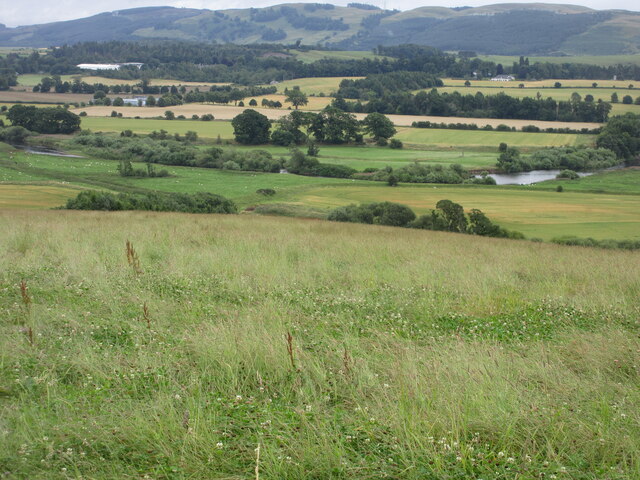
The park is characterized by its rolling downs, which are covered in a patchwork of vibrant colors throughout the year. In spring and summer, the downs come alive with a carpet of wildflowers, including heather, bluebells, and primroses, creating a breathtaking sight. The moorland, on the other hand, is a vast expanse of open space, covered in heath and grasses.
The park is home to a rich variety of wildlife, including several species of birds, such as skylarks, lapwings, and kestrels. Visitors may also spot red deer, rabbits, and foxes, which roam freely in the park. Additionally, the downs and moorland provide important habitats for a wide range of insects and invertebrates.
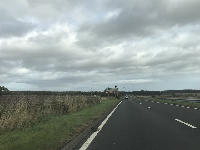
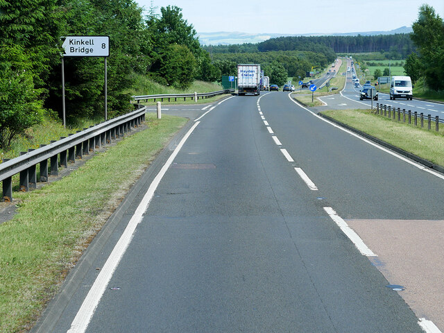
Backhill Park offers numerous walking trails that allow visitors to explore its natural beauty. These trails vary in difficulty and length, catering to both casual strollers and more experienced hikers. Along the way, walkers can enjoy breathtaking views of the surrounding countryside, including the nearby hills and lochs.
The park is open year-round and offers facilities such as picnic areas and parking. It is a popular destination for families, nature enthusiasts, and photographers seeking to capture the beauty of the Scottish countryside. Backhill Park truly offers a tranquil and idyllic escape from the hustle and bustle of everyday life.
If you have any feedback on the listing, please let us know in the comments section below.
Backhill Park Images
Images are sourced within 2km of 56.368707/-3.5236513 or Grid Reference NO0520. Thanks to Geograph Open Source API. All images are credited.

Backhill Park is located at Grid Ref: NO0520 (Lat: 56.368707, Lng: -3.5236513)
Unitary Authority: Perth and Kinross
Police Authority: Tayside
What 3 Words
///apparatus.fades.parade. Near Almondbank, Perth & Kinross
Nearby Locations
Related Wikis
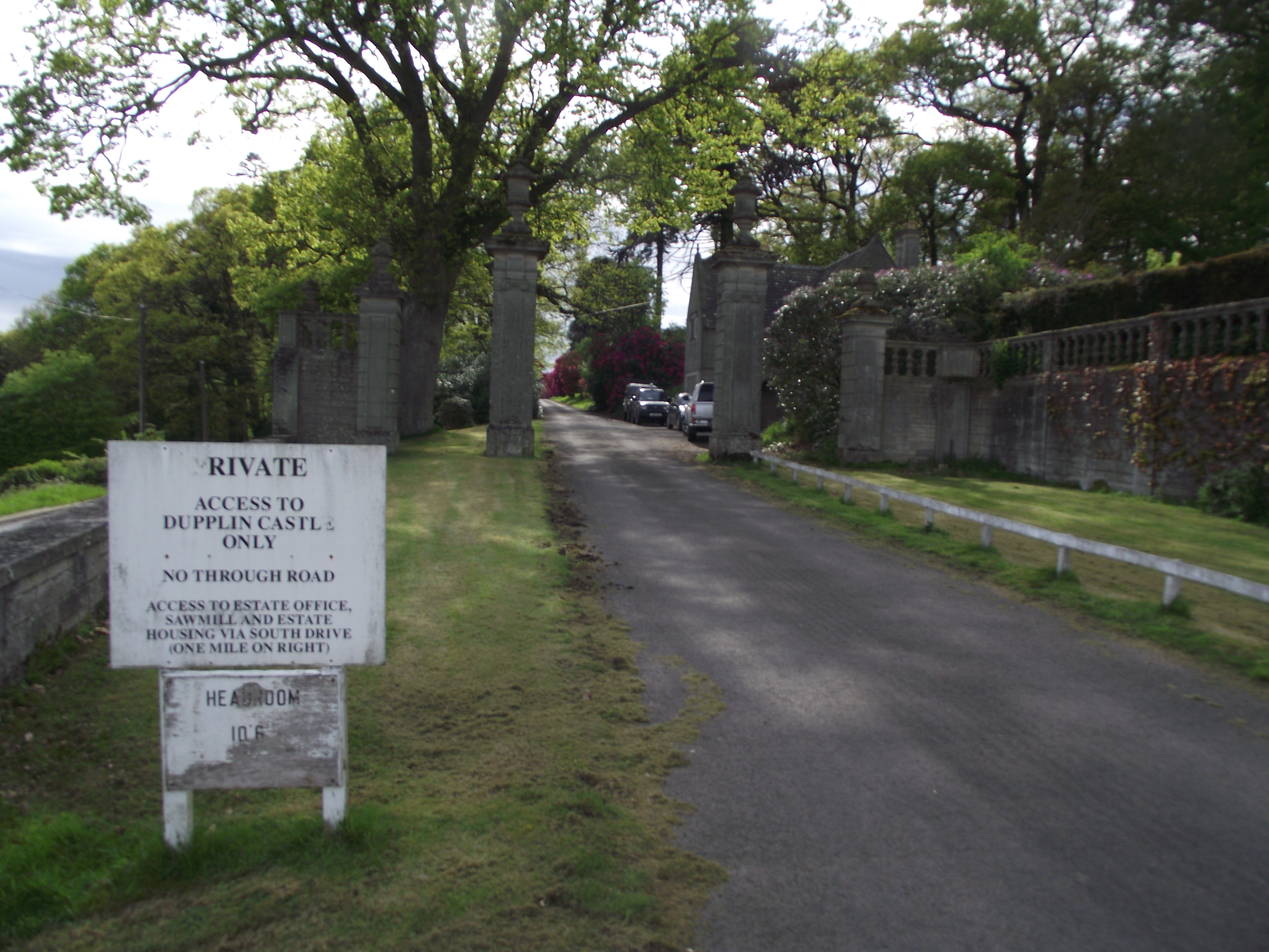
Dupplin Castle
Dupplin Castle is a country house and former castle in Perth and Kinross, Scotland, situated to the west of Aberdalgie and northeast of Forteviot and Dunning...

Aberdalgie
Aberdalgie (Gaelic: Obar Dheilgidh, 'Confluence of the Thorn-Stream') is a small village in the Scottish council area of Perth and Kinross. It is 3 miles...

Battle of Dupplin Moor
The Battle of Dupplin Moor was fought between supporters of King David II of Scotland, the son of King Robert Bruce, and English-backed invaders supporting...
Forgandenny railway station
Forgandenny railway station served the village of Forgandenny, Perth and Kinross, Scotland from 1848 to 1956 on the Scottish Central Railway. == History... ==
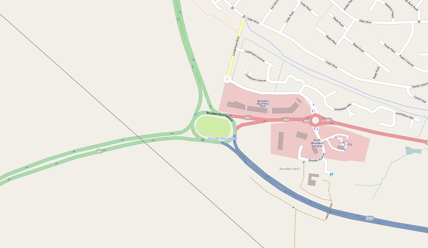
Broxden Junction
Broxden Junction (also known as Broxden Roundabout or Broxden Interchange) is one of the busier and more important road junctions in Scotland. It is located...
Battle of Tippermuir
The Battle of Tippermuir (also known as the Battle of Tibbermuir) (1 September 1644) was the first battle James Graham, 1st Marquis of Montrose, fought...
Forteviot Bronze Age tomb
Forteviot Bronze Age tomb is a Bronze Age burial chamber discovered in 2009 at Forteviot near Perth, Scotland. The Bronze Age tomb is one of a number of...

Tibbermore
Tibbermore is a small village situated about 4 miles (6 kilometres) west of Perth, Scotland. The parish extends to Aberuthven.Previously known as Tippermuir...
Have you been to Backhill Park?
Leave your review of Backhill Park below (or comments, questions and feedback).