Beech Rounall
Wood, Forest in Perthshire
Scotland
Beech Rounall
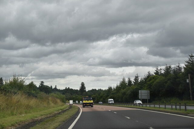
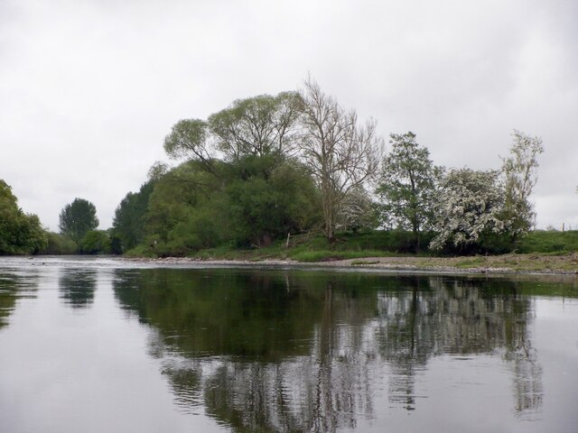
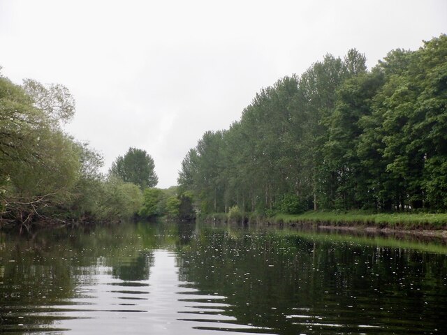
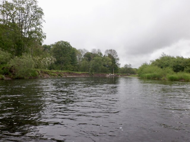
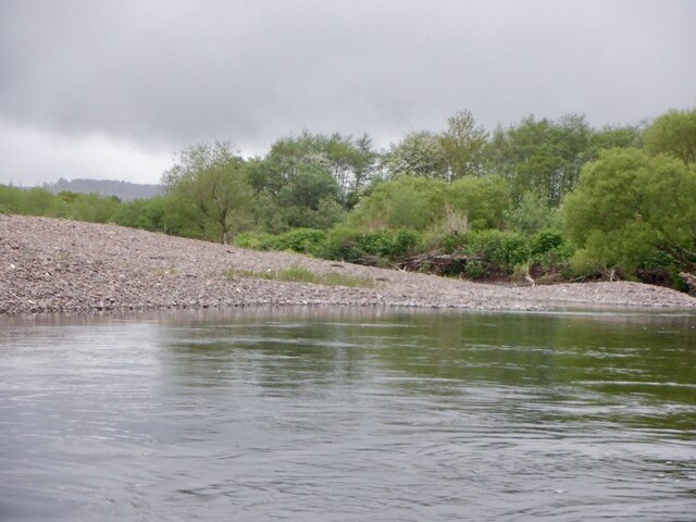
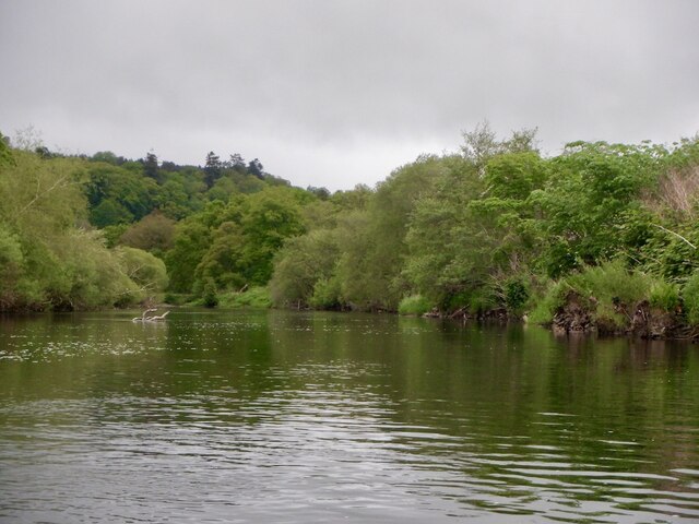
Beech Rounall is a picturesque wood located in the beautiful county of Perthshire, Scotland. Situated amidst the scenic landscape, the forest is renowned for its stunning beech trees that dominate the area, creating a captivating sight for nature enthusiasts and visitors alike.
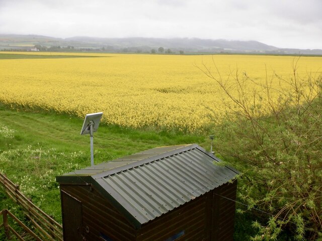
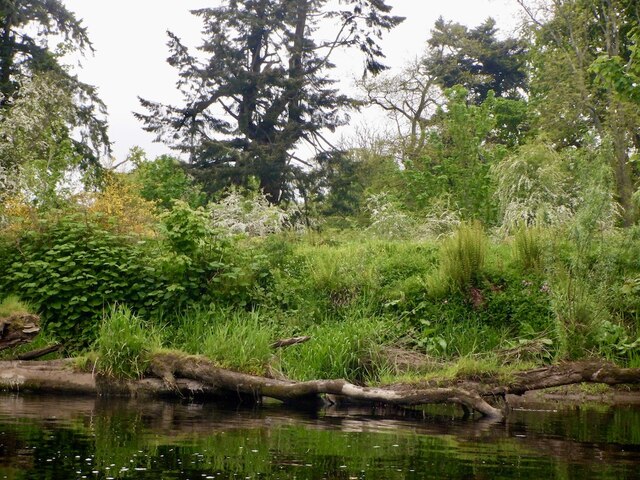
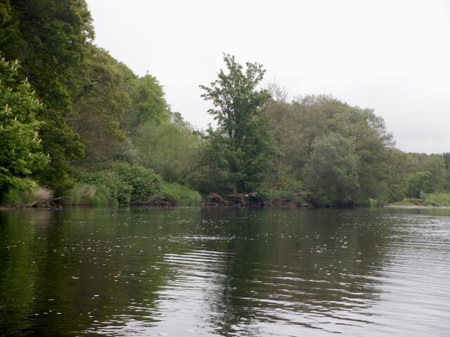
Covering a vast area, Beech Rounall offers a tranquil escape from the bustling city life. The forest is known for its well-preserved ecosystem, boasting a diverse range of flora and fauna. The dense canopy of beech trees provides a sheltered habitat for a variety of bird species, making it a popular spot for birdwatchers.
As visitors wander through the wood, they are greeted by a serene atmosphere and the soothing sound of rustling leaves. The forest floor is carpeted with a rich layer of moss and fallen leaves, creating a soft and cushioned path for hikers and walkers to explore.
Beech Rounall offers a range of recreational activities for outdoor enthusiasts. There are well-maintained trails that wind through the wood, providing an opportunity for leisurely strolls or invigorating hikes. The forest also offers picnic areas, where visitors can enjoy a peaceful lunch surrounded by nature's beauty.
The wood is easily accessible, with a nearby parking area for convenience. It is recommended to wear appropriate footwear and bring along insect repellent, as the wood is also home to various insect species.
In summary, Beech Rounall in Perthshire is a haven for nature lovers, offering a breathtaking display of beech trees, a diverse ecosystem, and a tranquil atmosphere. It provides an ideal setting for outdoor activities, relaxation, and exploration of Scotland's natural wonders.
If you have any feedback on the listing, please let us know in the comments section below.
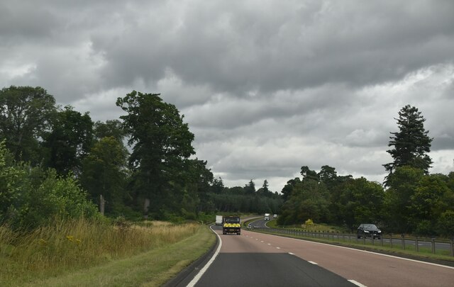
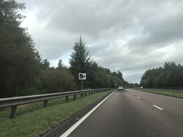
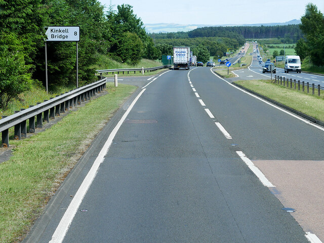
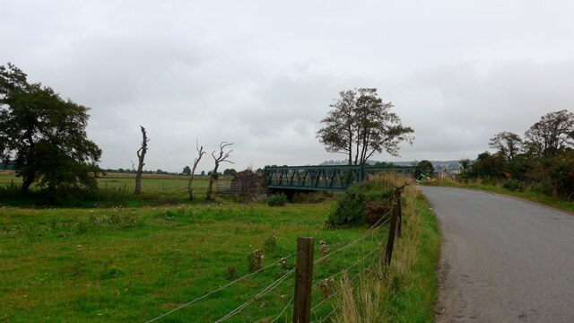
Beech Rounall Images
Images are sourced within 2km of 56.35637/-3.5367059 or Grid Reference NO0519. Thanks to Geograph Open Source API. All images are credited.


Beech Rounall is located at Grid Ref: NO0519 (Lat: 56.35637, Lng: -3.5367059)
Unitary Authority: Perth and Kinross
Police Authority: Tayside
What 3 Words
///rally.hissing.consoled. Near Almondbank, Perth & Kinross
Nearby Locations
Related Wikis
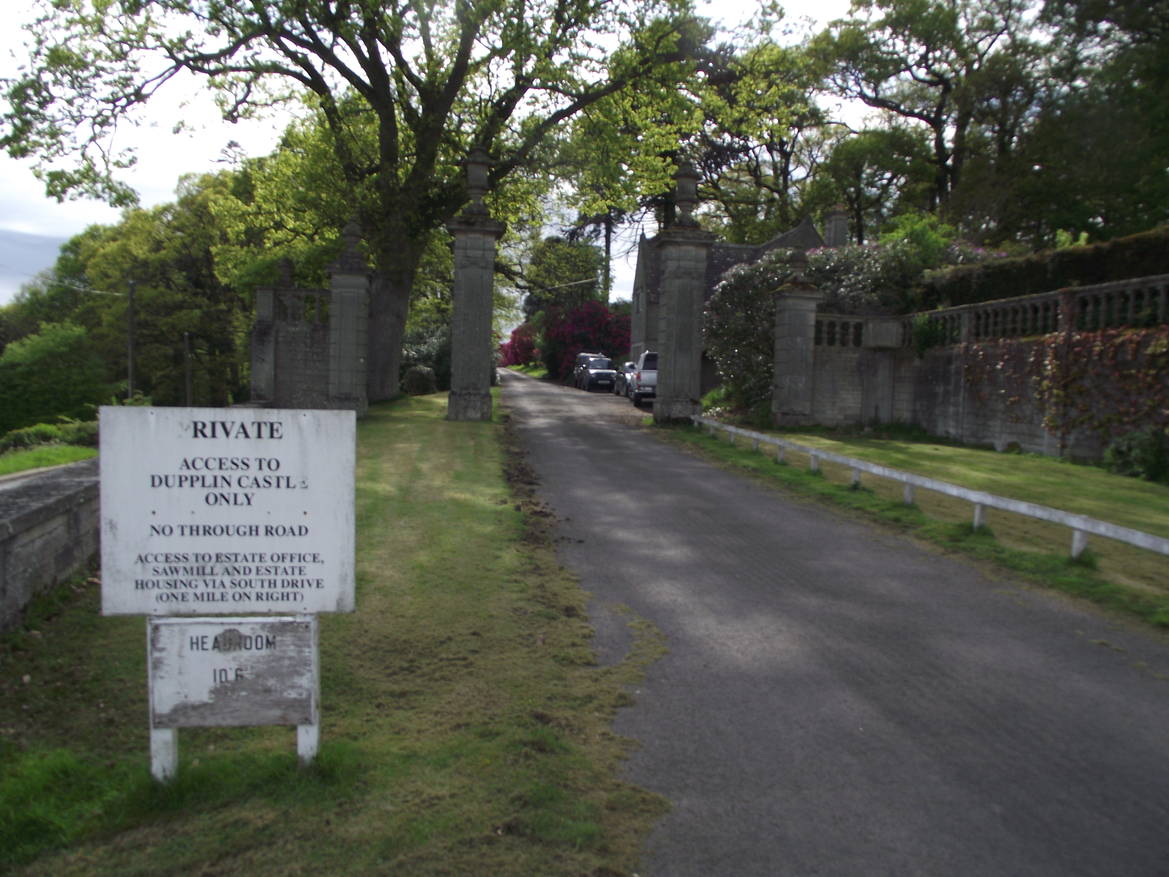
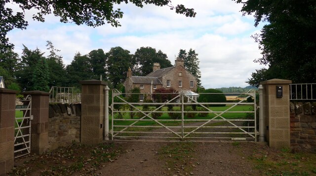
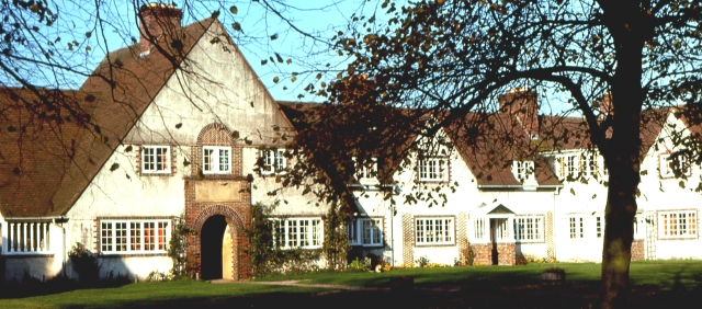
Dupplin Castle
Dupplin Castle is a country house and former castle in Perth and Kinross, Scotland, situated to the west of Aberdalgie and northeast of Forteviot and Dunning...

Battle of Dupplin Moor
The Battle of Dupplin Moor was fought between supporters of King David II of Scotland, the son of King Robert Bruce, and English-backed invaders supporting...

Forteviot railway station
Forteviot railway station served the village of Forteviot, Perth and Kinross, Scotland from 1848 to 1956 on the Scottish Central Railway. == History... ==
Forteviot Bronze Age tomb
Forteviot Bronze Age tomb is a Bronze Age burial chamber discovered in 2009 at Forteviot near Perth, Scotland. The Bronze Age tomb is one of a number of...
Forteviot
Forteviot (Scottish Gaelic: Fothair Tabhaicht) (Ordnance Survey grid reference NO052175) is a village in Strathearn, Scotland on the south bank of the...

Aberdalgie
Aberdalgie (Gaelic: Obar Dheilgidh, 'Confluence of the Thorn-Stream') is a small village in the Scottish council area of Perth and Kinross. It is 3 miles...

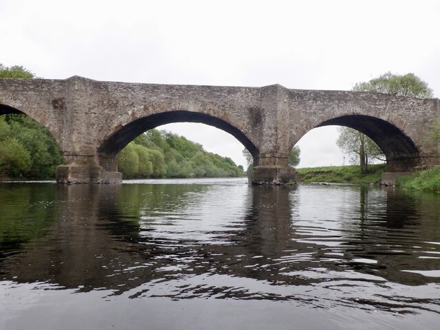
Invermay
Invermay ( ) is a diffuse settlement in Perth and Kinross, Scotland. It is situated approximately 2 km southeast of Forteviot on the Water of May, some...
Forgandenny railway station
Forgandenny railway station served the village of Forgandenny, Perth and Kinross, Scotland from 1848 to 1956 on the Scottish Central Railway. == History... ==
Nearby Amenities
Located within 500m of 56.35637,-3.5367059Have you been to Beech Rounall?
Leave your review of Beech Rounall below (or comments, questions and feedback).