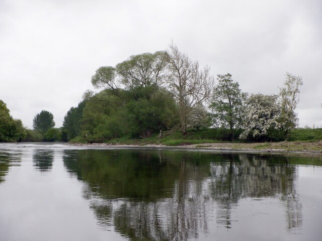
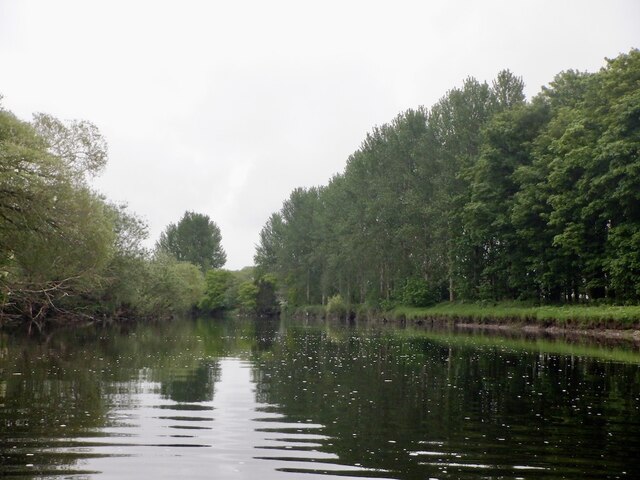
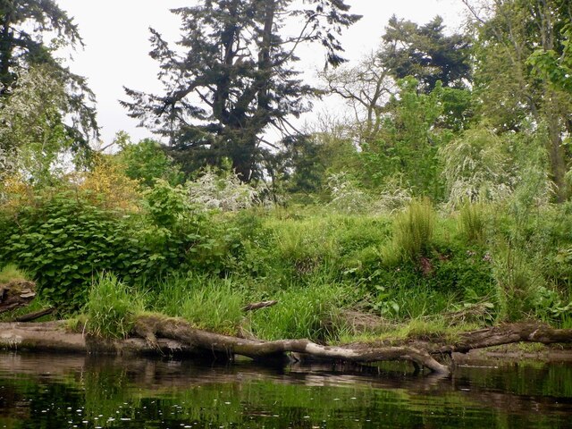
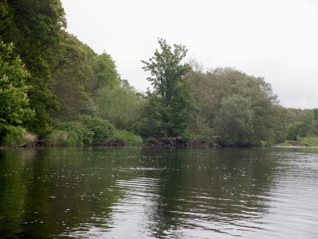
Oswald Strip
Wood, Forest in Perthshire
Scotland
Oswald Strip
The requested URL returned error: 429 Too Many Requests
If you have any feedback on the listing, please let us know in the comments section below.
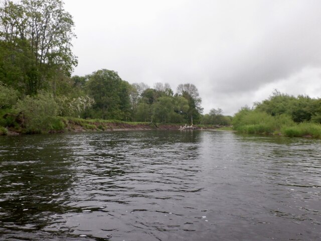
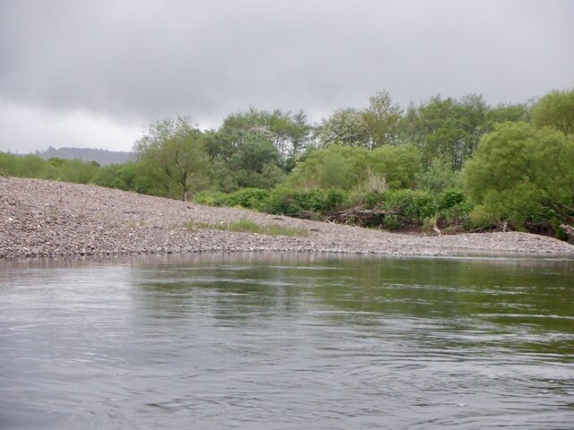
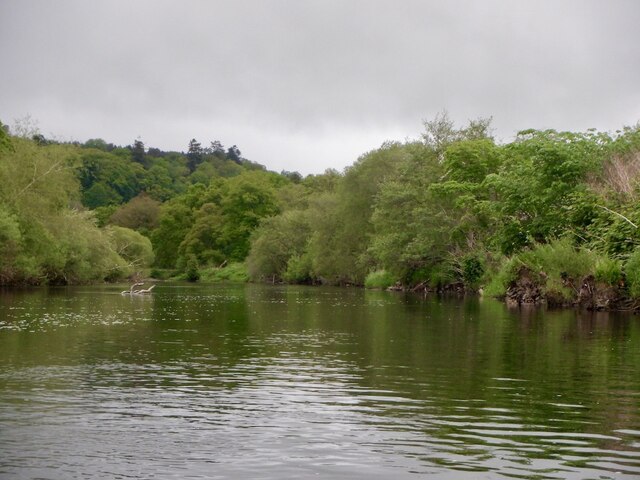
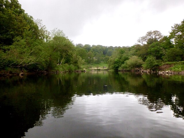
Oswald Strip Images
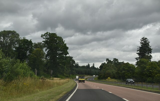
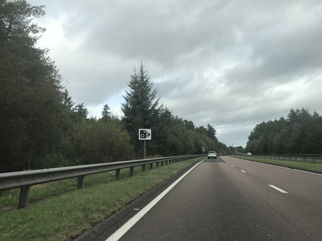
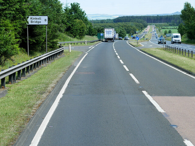
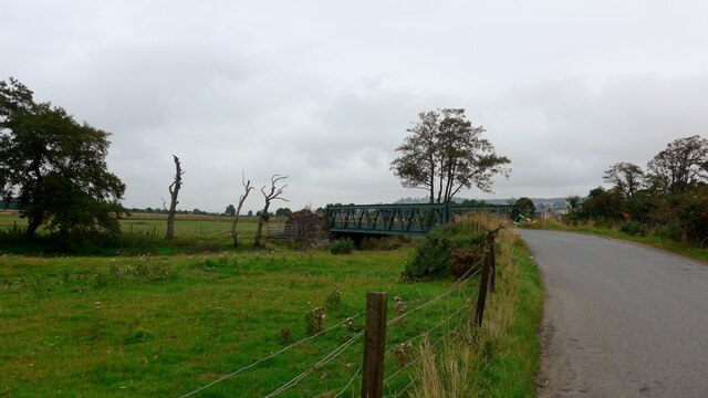
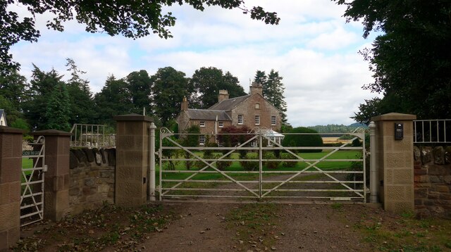
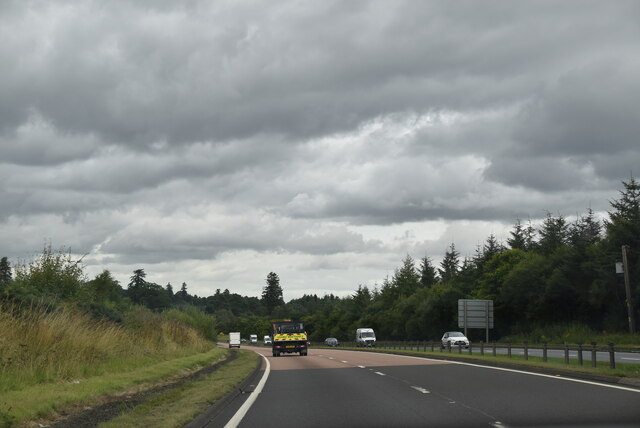
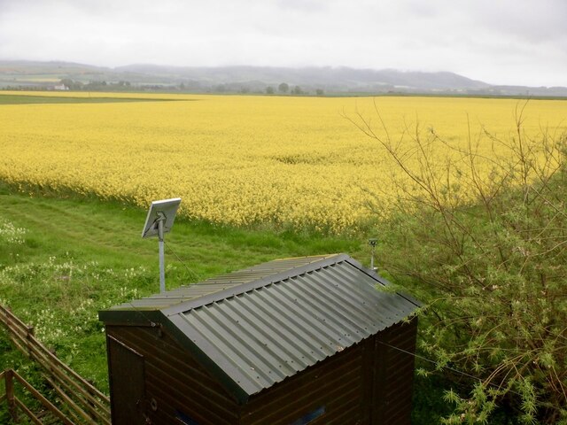
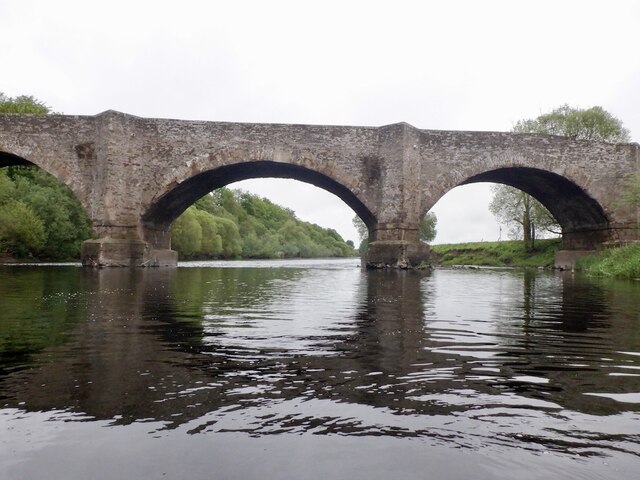
Images are sourced within 2km of 56.355654/-3.530009 or Grid Reference NO0519. Thanks to Geograph Open Source API. All images are credited.


Oswald Strip is located at Grid Ref: NO0519 (Lat: 56.355654, Lng: -3.530009)
Unitary Authority: Perth and Kinross
Police Authority: Tayside
What 3 Words
///embellish.videos.nutty. Near Almondbank, Perth & Kinross
Nearby Locations
Related Wikis
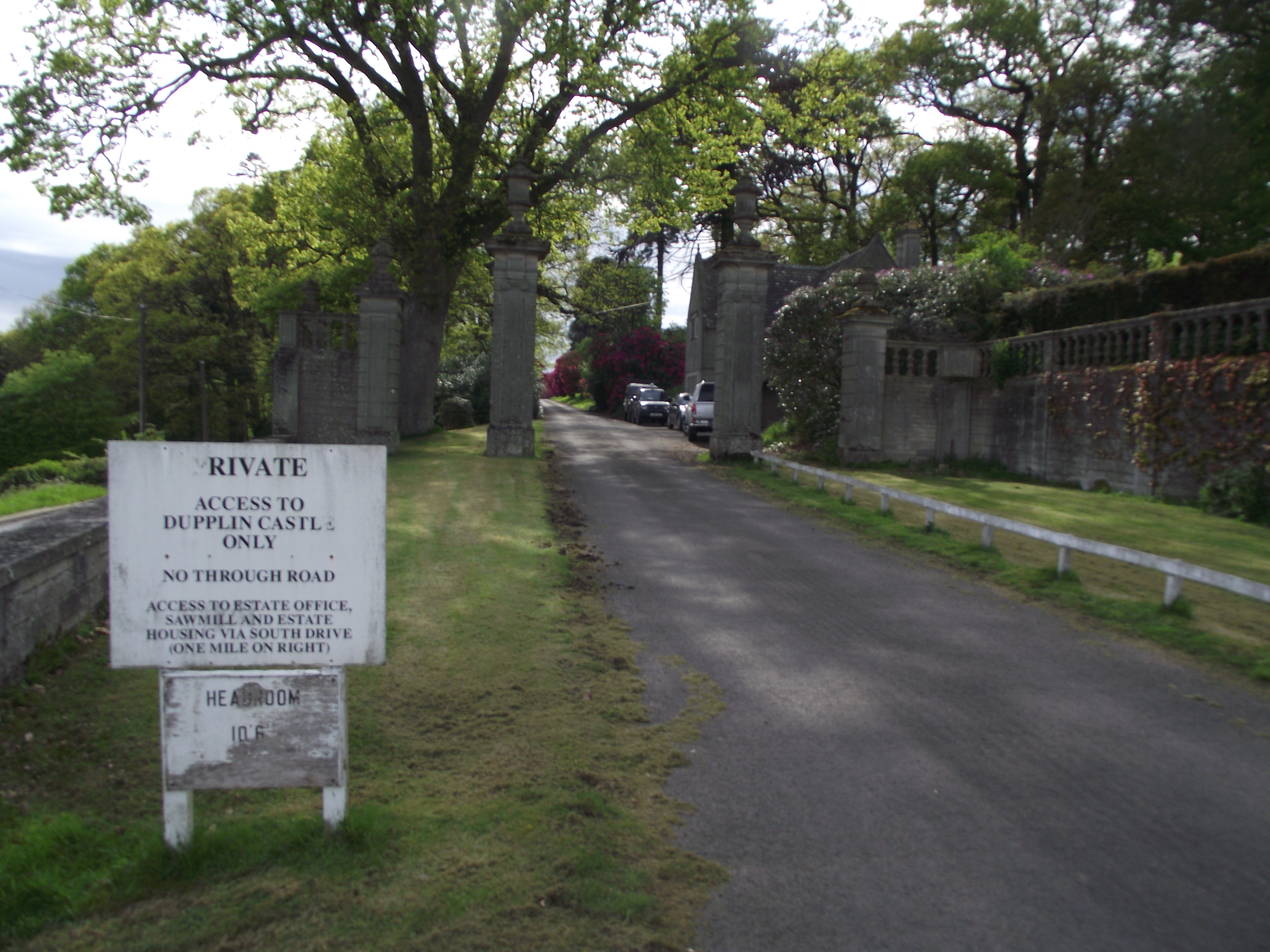
Dupplin Castle
Dupplin Castle is a country house and former castle in Perth and Kinross, Scotland, situated to the west of Aberdalgie and northeast of Forteviot and Dunning...

Forteviot Bronze Age tomb
Forteviot Bronze Age tomb is a Bronze Age burial chamber discovered in 2009 at Forteviot near Perth, Scotland. The Bronze Age tomb is one of a number of...
Forteviot
Forteviot (Scottish Gaelic: Fothair Tabhaicht) (Ordnance Survey grid reference NO052175) is a village in Strathearn, Scotland on the south bank of the...

Forteviot railway station
Forteviot railway station served the village of Forteviot, Perth and Kinross, Scotland from 1848 to 1956 on the Scottish Central Railway. == History... ==
Nearby Amenities
Located within 500m of 56.355654,-3.530009Have you been to Oswald Strip?
Leave your review of Oswald Strip below (or comments, questions and feedback).