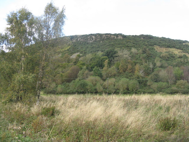
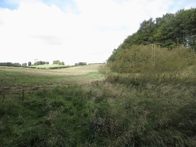
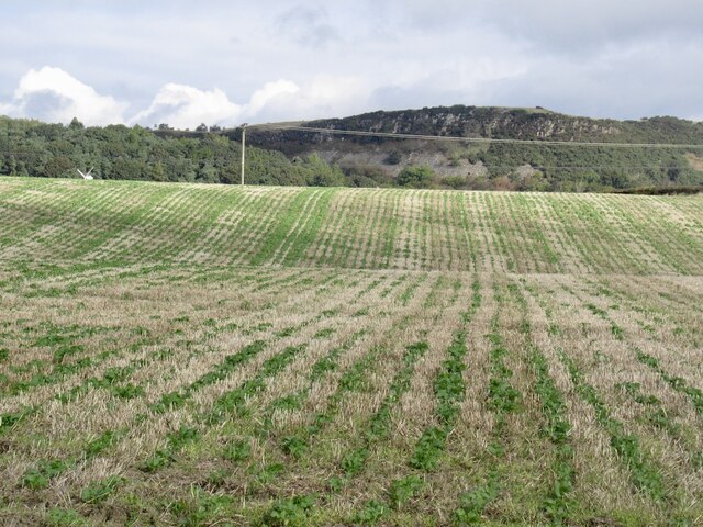
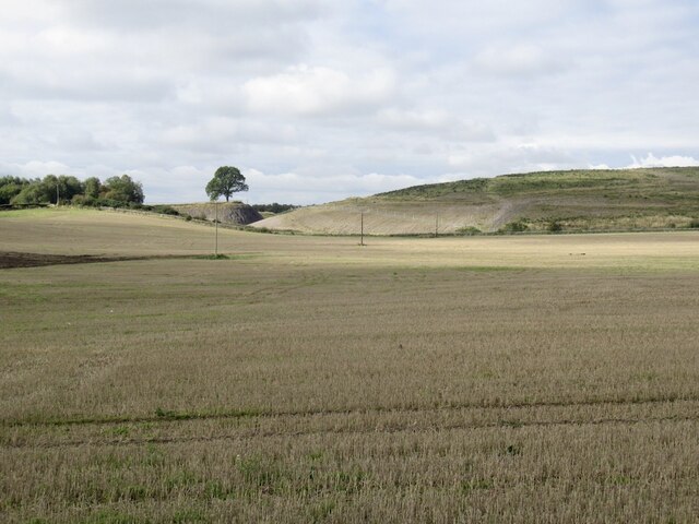
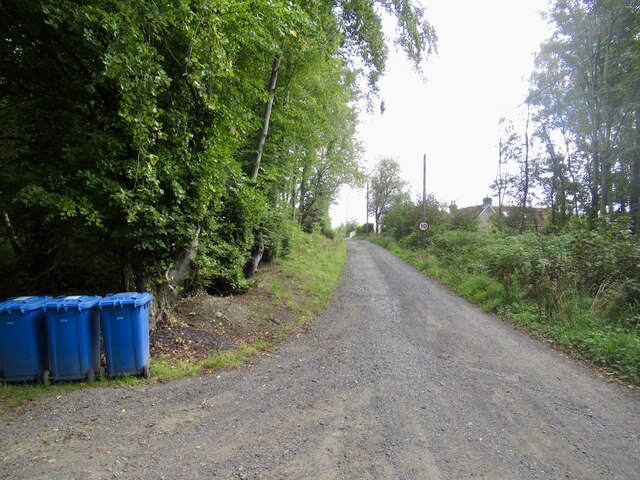
Quarry Wood

Wood, Forest in Fife

Scotland

Quarry Wood

Stubble field at Carnock Moor
Stubble field at Carnock Moor Credit: M J Richardson

The requested URL returned error: 429 Too Many Requests

If you have any feedback on the listing, please let us know in the comments section below.

Quarry Wood Images

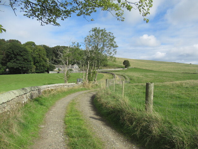
Images are sourced within 2km of 56.092491/-3.5273191 or Grid Reference NT0589. Thanks to Geograph Open Source API. All images are credited.
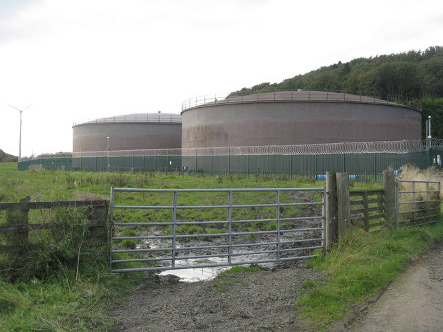
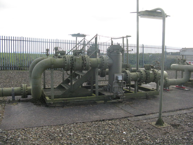
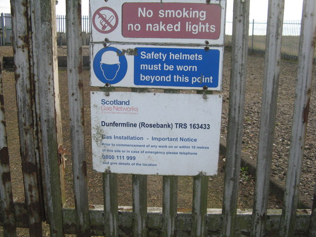
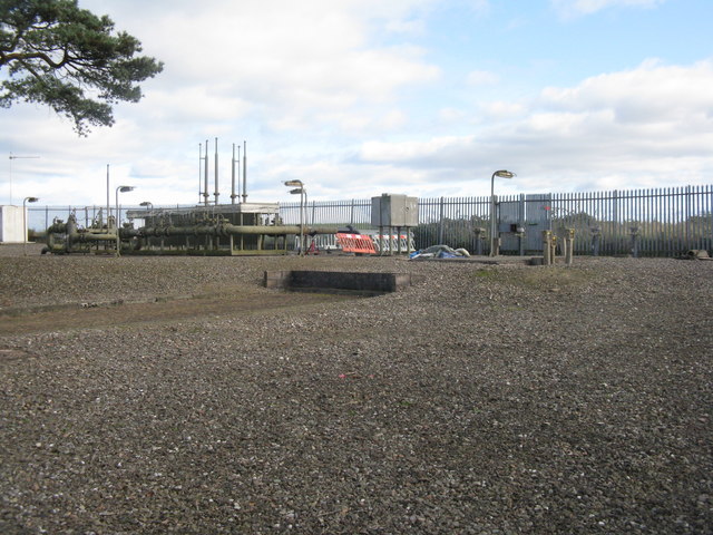
Stubble field at Carnock Moor
Carnock Moor Farmland rising gently to woodland on the higher ground of the moor.
Carnock Moor
Farmland rising gently to woodland on the higher ground of the moor.
Scottish Water tanks at Glassiebarns
The Tankhouse, Craigluscar A residential conversion of what was presumably a waterworks building associated with the adjacent storage tanks.
The Tankhouse, Craigluscar
A residential conversion of what was presumably a waterworks building associated with the adjacent storage tanks.
Craigluscar Hill Woodland below the edge of a Carboniferous intrusion of igneous rocks.
Craigluscar Hill
Woodland below the edge of a Carboniferous intrusion of igneous rocks.
Farmland near Craigluscar A stubble field with LT electricity poles.
Farmland near Craigluscar
A stubble field with LT electricity poles.
Dunfermline (Rosebank) gas installation
Dunfermline (Rosebank) gas installation Safety notice.
Dunfermline (Rosebank) gas installation
Safety notice.
Dunfermline (Rosebank) gas installation
Farmland near Craigluscar The enclosure contains the Dunfermline [Rosebank] gas installation.
Farmland near Craigluscar
The enclosure contains the Dunfermline [Rosebank] gas installation.
Newly sown field at Cowstrandburn No spilt grain, so no clues as to whether it is winter barley or wheat. With woodland on Carnock Moor beyond.
Newly sown field at Cowstrandburn
No spilt grain, so no clues as to whether it is winter barley or wheat. With woodland on Carnock Moor beyond.
Entering Cowstrandburn from the south A big name for a small place - there must be story behind the name.
Entering Cowstrandburn from the south
A big name for a small place - there must be story behind the name.
Drumtuthill Road
Drumtuthill Road
Towards Loanhead Near Craigluscar.
Towards Loanhead
Near Craigluscar.
Stubble and Craigluscar Hills
Stubble Towards Bonnar Law, a former opencast site
Stubble
Towards Bonnar Law, a former opencast site
Road to Rhynd
Road to Rhynd
Woodlands, Bandrum The road continues beyond Woodlands to Steelend.
Woodlands, Bandrum
The road continues beyond Woodlands to Steelend.
Show me another place!

Quarry Wood is located at Grid Ref: NT0589 (Lat: 56.092491, Lng: -3.5273191)

Unitary Authority: Fife

Police Authority: Fife

What 3 Words

///readers.kilowatt.observer. Near Oakley, Fife

Related Wikis

Gowkhall

Gowkhall (for a period known as Balclune) is a hamlet in Fife Scotland, 3.6 miles (5.794 km) west of Dunfermline. The nearest village of size is Carnock...

Carnock

Carnock (Scottish Gaelic: A' Chàrnaich) is a village and parish of Fife, Scotland, 4+1⁄4 miles (7 kilometres) west of Dunfermline. It is 1+1⁄4 miles (2...

Dunfermline (district)

Dunfermline (Scottish Gaelic: Dùn Phàrlain, Scots: Dunfaurlin) was a local government district in the Fife region of Scotland from 1975 to 1996, lying...

Steelend

Steelend is a former mining village in West Fife, Scotland, located on the B914 road approximately three-quarters of a mile east of the village of Saline...

Nearby Amenities

Located within 500m of 56.092491,-3.5273191
Power: pole
Lat/Long: 56.0946906/-3.5215951
Power: pole
Lat/Long: 56.0941901/-3.5338992
Power: pole
Lat/Long: 56.0945226/-3.5201328
Power: pole
Lat/Long: 56.0945596/-3.5282781
Power: pole
Lat/Long: 56.0943125/-3.5320275
Power: pole
Lat/Long: 56.0946694/-3.5265693
Power: pole
Lat/Long: 56.0944321/-3.5301369
Power: pole
Lat/Long: 56.0947771/-3.5249984
Power: pole
Lat/Long: 56.0948875/-3.5233921
Generator Method: wind_turbine
Generator Source: wind
Power: generator
Lat/Long: 56.0947102/-3.5337567
Power: pole
Lat/Long: 56.0953065/-3.5329574
Power: pole
Lat/Long: 56.0953319/-3.5316914
Power: pole
Lat/Long: 56.0953439/-3.5303932
Power: pole
Lat/Long: 56.0953588/-3.529138
Power: pole
Lat/Long: 56.0953858/-3.5279471
Power: pole
Lat/Long: 56.0954171/-3.525455
Power: pole
Lat/Long: 56.095453/-3.5228157
Power: pole
Lat/Long: 56.0954725/-3.5214508
Power: pole
Lat/Long: 56.0894113/-3.5257495
Power: pole
Lat/Long: 56.0901002/-3.5261311
Power: pole
Lat/Long: 56.0907698/-3.5264531
Power: pole
Lat/Long: 56.0912584/-3.5258233
Power: pole
Lat/Long: 56.0917574/-3.5251669
Power: pole
Lat/Long: 56.0923468/-3.5243217
Power: pole
Lat/Long: 56.0926466/-3.5239463
Power: pole
Lat/Long: 56.0932142/-3.5237596
Power: pole
Lat/Long: 56.0936811/-3.523856
Power: pole
Lat/Long: 56.0942259/-3.523897
Power: pole
Lat/Long: 56.0949468/-3.5240653
Power: pole
Lat/Long: 56.0954365/-3.5240263
Power: pole
Lat/Long: 56.0963474/-3.524293
The data included in this document is from www.openstreetmap.org. The data is made available under ODbL.

Have you been to Quarry Wood?

Leave your review of Quarry Wood below (or comments, questions and feedback).