Castle Donington
Settlement in Leicestershire North West Leicestershire
England
Castle Donington

Castle Donington is a picturesque village located in the North West of Leicestershire, England. Situated on the banks of the River Trent, it is known for its rich history, charming architecture, and proximity to East Midlands Airport. With a population of around 7,500, Castle Donington offers a peaceful and close-knit community.
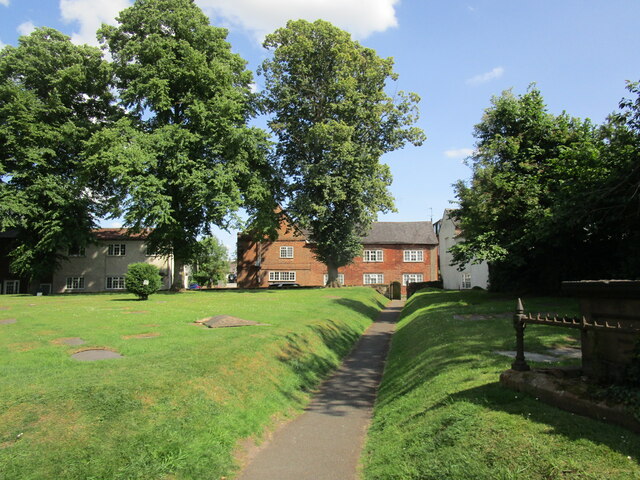
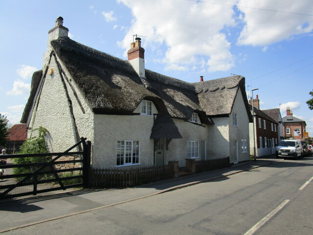
The village is steeped in history, dating back to the Roman era, evidenced by the remains of a Roman fort nearby. Its name originates from the ruined 13th-century castle, which was demolished in the 17th century. Today, the village is characterized by its well-preserved Georgian and Victorian buildings that line the streets, creating an enchanting atmosphere.
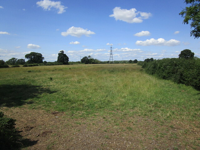
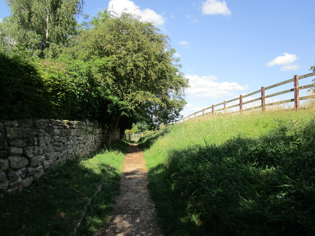
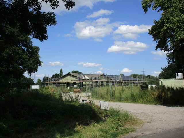
Despite its small size, Castle Donington boasts a range of amenities and services for residents and visitors alike. The village center is home to local shops, cafes, and restaurants, offering a variety of options for shopping and dining. The surrounding countryside provides ample opportunities for outdoor activities, including walking, cycling, and boating along the river.
Castle Donington's proximity to East Midlands Airport has also contributed to its growth and development. The airport, only a few miles away, is an important hub for both domestic and international flights, making the village an attractive location for business and leisure travelers.
In summary, Castle Donington is a historic and picturesque village in Leicestershire, offering a peaceful and close-knit community, charming architecture, and convenient access to modern amenities and transportation.
If you have any feedback on the listing, please let us know in the comments section below.
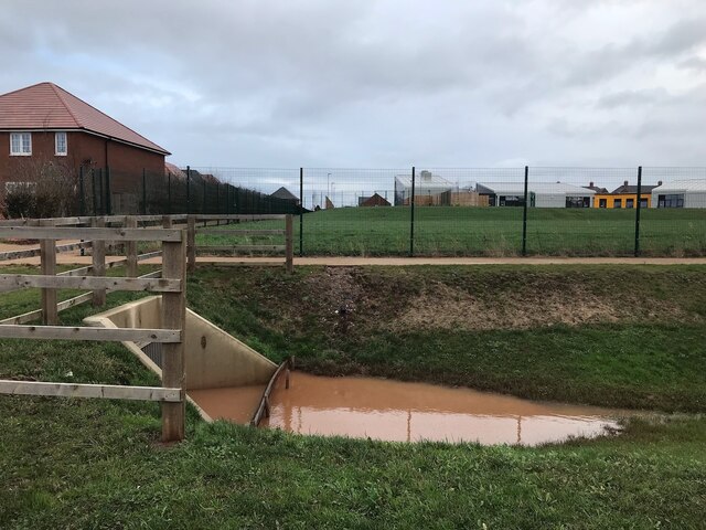
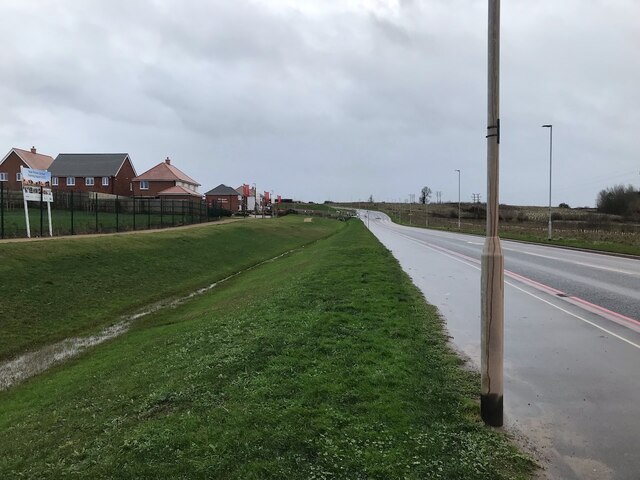
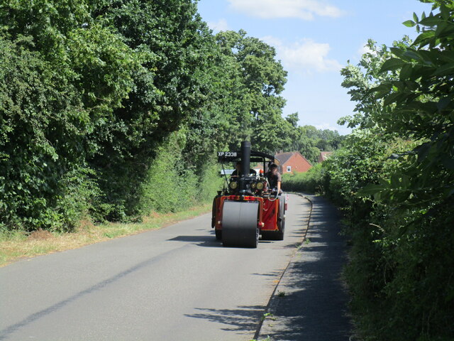
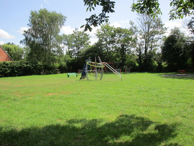
Castle Donington Images
Images are sourced within 2km of 52.842364/-1.337772 or Grid Reference SK4427. Thanks to Geograph Open Source API. All images are credited.


Castle Donington is located at Grid Ref: SK4427 (Lat: 52.842364, Lng: -1.337772)
Administrative County: Leicestershire
District: North West Leicestershire
Police Authority: Leicestershire
What 3 Words
///yummy.common.elephant. Near Castle Donington, Leicestershire
Nearby Locations
Related Wikis
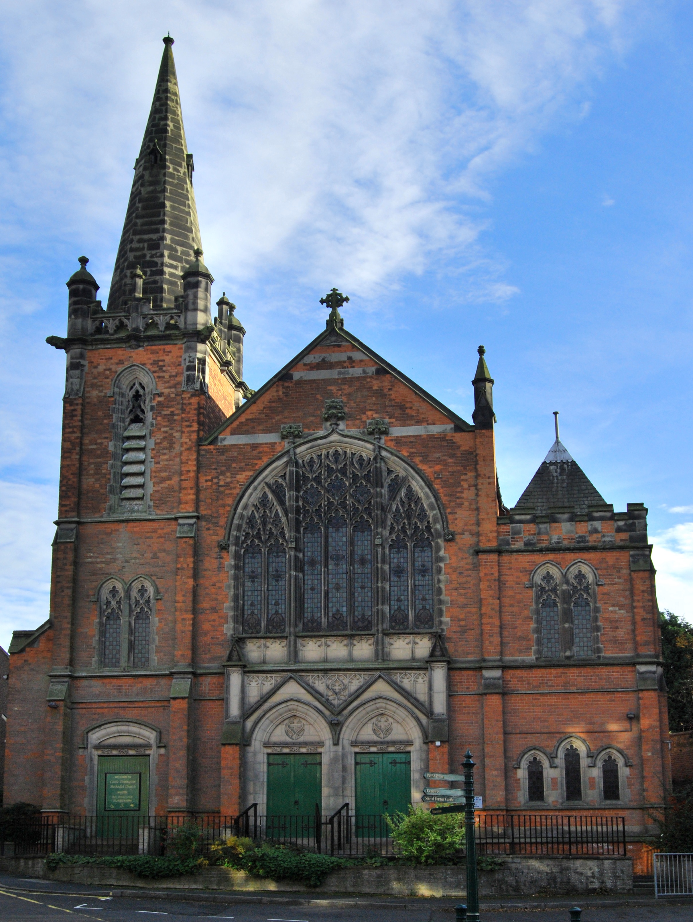
Castle Donington Methodist Church
Castle Donington Methodist Church is a Grade II listed Methodist Church in Castle Donington, Leicestershire. == History == The Methodist Church was designed...
Wesleyan Chapel, Bishop Street
Bishop Street Methodist Chapel, also known as the Wesleyan Chapel, is church overlooking Town Hall Square in Leicester, England, U.K.The chapel was built...

Donington Castle
Donington Castle was in the village of Castle Donington in Leicestershire, England to the north of East Midlands Airport (grid reference SK448276). This...

Monsters of Rock
Monsters of Rock is a hard rock and heavy metal music festival. It was originally held annually in Castle Donington, England, from 1980 to 1996, taking...

Castle Donington
Castle Donington is a market town and civil parish in Leicestershire, England, on the edge of the National Forest and close to East Midlands Airport....

East Midlands Airport
East Midlands Airport (IATA: EMA, ICAO: EGNX) is an international airport in the East Midlands of England, close to Castle Donington in northwestern Leicestershire...
Castle Donington and Shardlow railway station
Castle Donington and Shardlow railway station served the market town of Castle Donington, Leicestershire, and the village of Shardlow, Derbyshire. ��2...

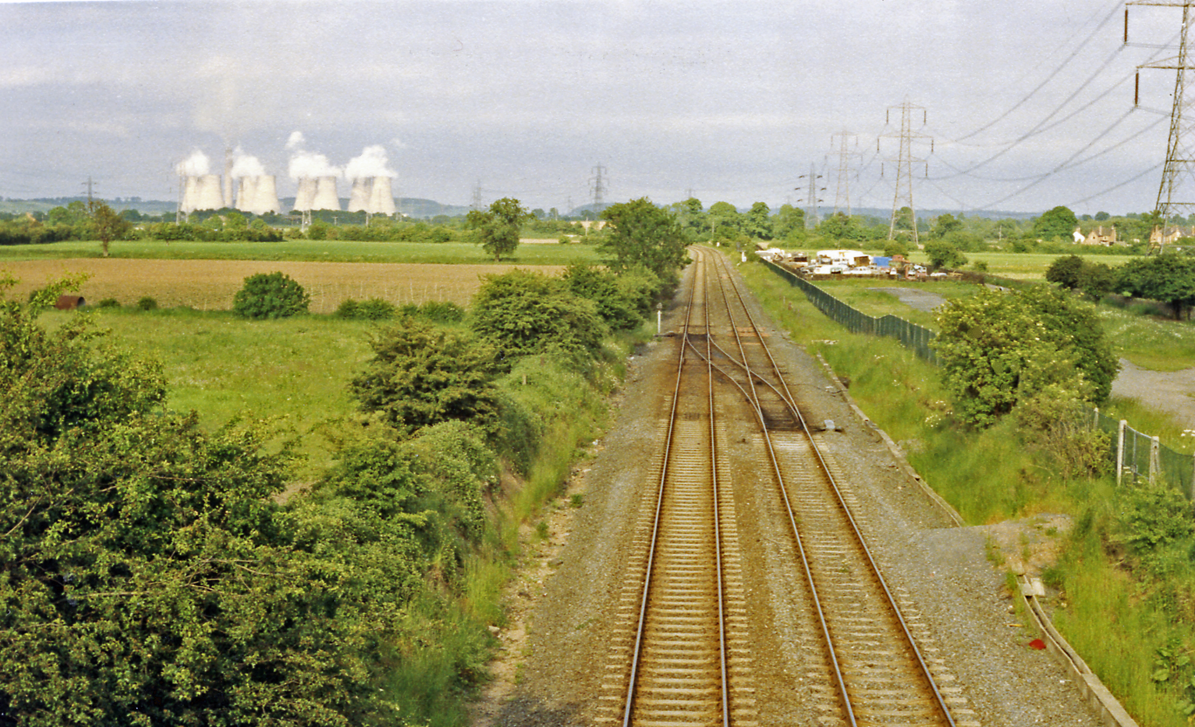
Castle Donington Power Station
Castle Donington Power Station was a coal-fired power station situated on the River Trent near Castle Donington, Leicestershire, 5 miles (8.0 km) south...
Nearby Amenities
Located within 500m of 52.842364,-1.337772Have you been to Castle Donington?
Leave your review of Castle Donington below (or comments, questions and feedback).