Castle Hill
Hill, Mountain in Leicestershire North West Leicestershire
England
Castle Hill
Castle Hill is a prominent landmark located in Leicestershire, England. Situated approximately 3 miles northwest of the town of Hinckley, it is a hill that stands at an elevation of around 210 meters (690 feet) above sea level. Although referred to as a hill, it is more accurately described as a small mountain due to its substantial height compared to the surrounding landscape.
The hill is crowned by a medieval motte-and-bailey castle, which dates back to the 11th century. The castle was constructed by the Normans and served as a defensive stronghold during the medieval period. Today, only the earthworks of the castle remain, showcasing its historical significance.
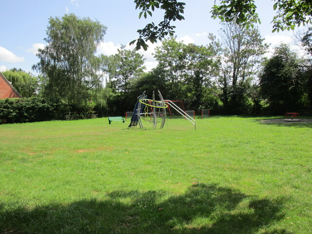
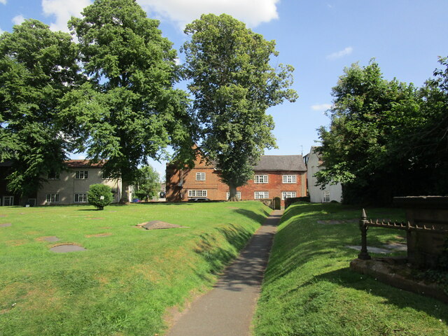
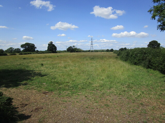
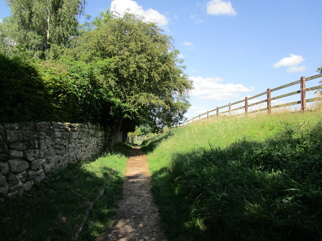
Castle Hill is a popular spot for outdoor enthusiasts and history enthusiasts alike. Its strategic location offers breathtaking views of the surrounding countryside, making it a favorite spot for hikers and nature lovers. The hill also boasts a network of footpaths and trails, allowing visitors to explore the area and enjoy its natural beauty.
Additionally, Castle Hill is a site of archaeological importance. Excavations have revealed various artifacts and remains, providing insights into the region's past. These findings have contributed to a greater understanding of the area's historical significance and have further enhanced the appeal of Castle Hill as a cultural destination.
Overall, Castle Hill in Leicestershire offers a combination of natural beauty, historical significance, and recreational opportunities, attracting visitors from near and far. Whether one is interested in exploring its medieval past or simply enjoying the stunning views, Castle Hill is a must-visit destination in the region.
If you have any feedback on the listing, please let us know in the comments section below.
Castle Hill Images
Images are sourced within 2km of 52.843804/-1.3354234 or Grid Reference SK4427. Thanks to Geograph Open Source API. All images are credited.


Castle Hill is located at Grid Ref: SK4427 (Lat: 52.843804, Lng: -1.3354234)
Administrative County: Leicestershire
District: North West Leicestershire
Police Authority: Leicestershire
What 3 Words
///earplugs.carrots.hang. Near Castle Donington, Leicestershire
Nearby Locations
Related Wikis

Donington Castle
Donington Castle was in the village of Castle Donington in Leicestershire, England to the north of East Midlands Airport (grid reference SK448276). This...

Monsters of Rock
Monsters of Rock is a hard rock and heavy metal music festival. It was originally held annually in Castle Donington, England, from 1980 to 1996, taking...

Castle Donington
Castle Donington is a market town and civil parish in Leicestershire, England, on the edge of the National Forest and close to East Midlands Airport....
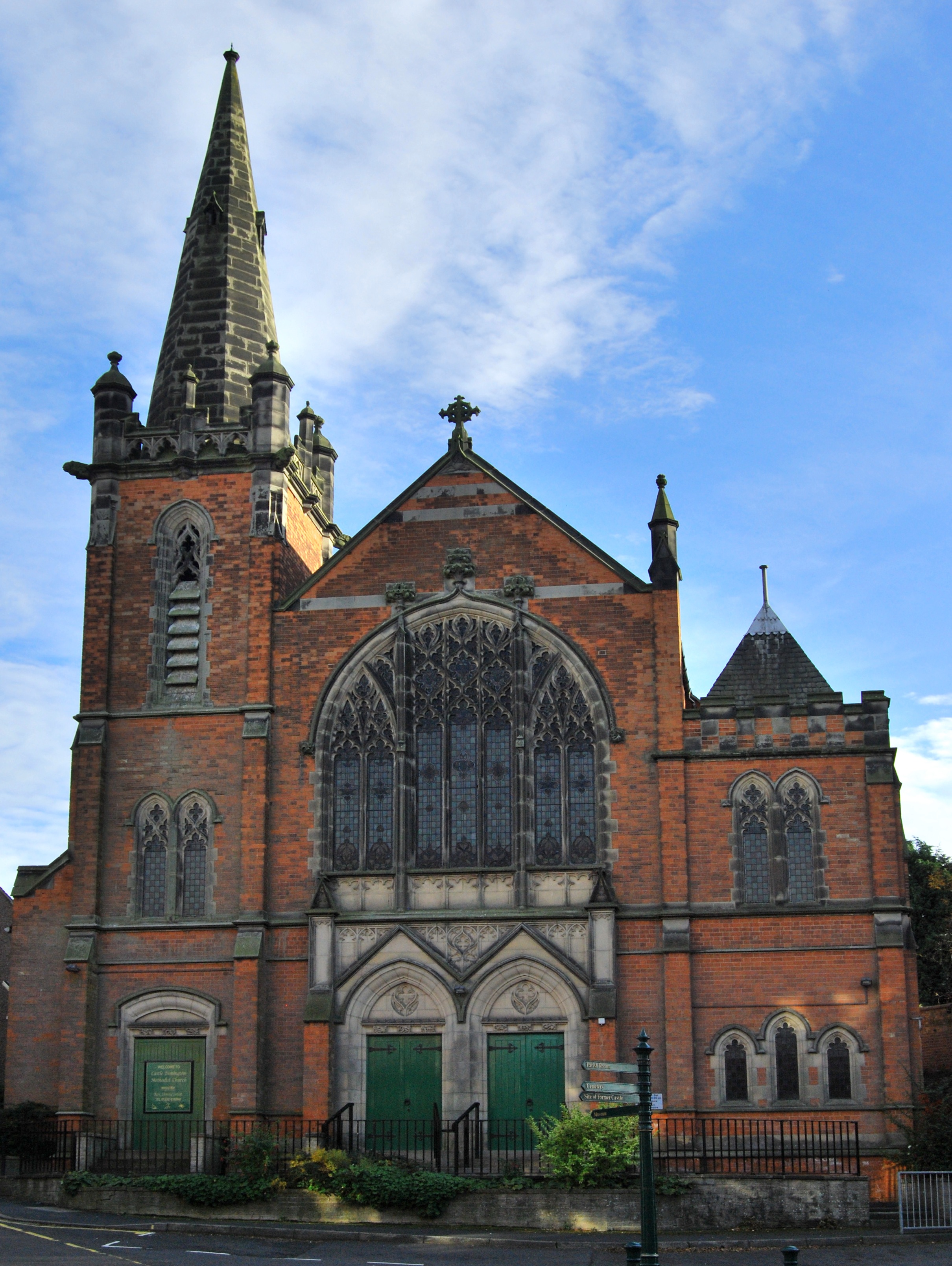
Castle Donington Methodist Church
Castle Donington Methodist Church is a Grade II listed Methodist Church in Castle Donington, Leicestershire. == History == The Methodist Church was designed...
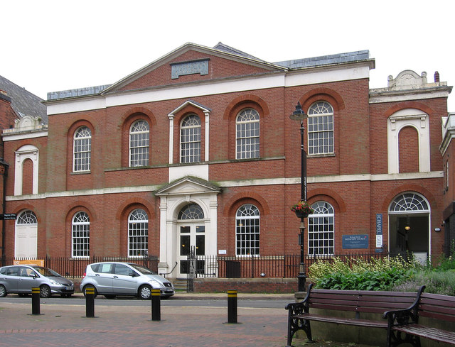
Wesleyan Chapel, Bishop Street
Bishop Street Methodist Chapel, also known as the Wesleyan Chapel, is church overlooking Town Hall Square in Leicester, England, U.K.The chapel was built...
Castle Donington and Shardlow railway station
Castle Donington and Shardlow railway station served the market town of Castle Donington, Leicestershire, and the village of Shardlow, Derbyshire. ��2...

East Midlands Airport
East Midlands Airport (IATA: EMA, ICAO: EGNX) is an international airport in the East Midlands of England, close to Castle Donington in northwestern Leicestershire...

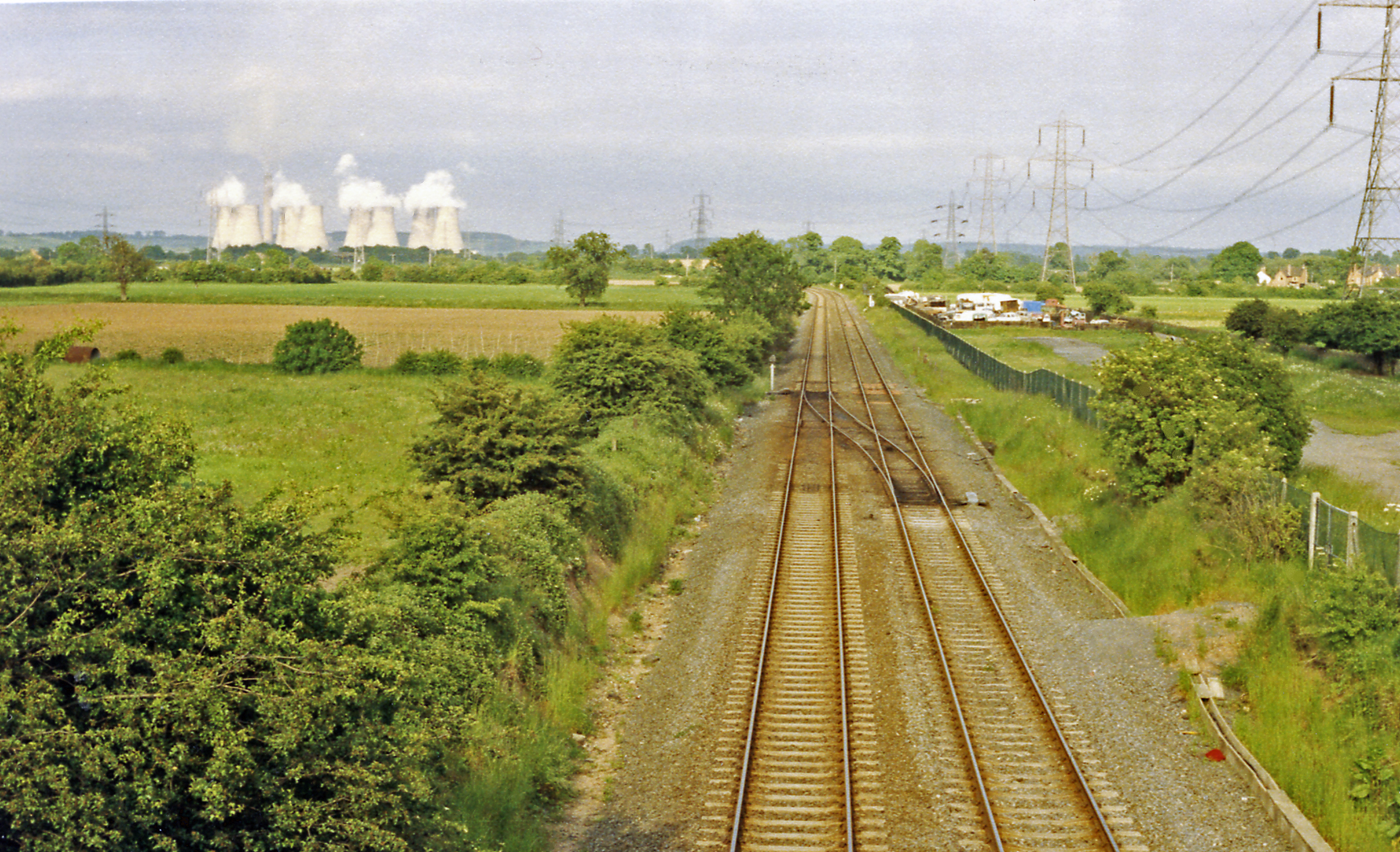
Castle Donington Power Station
Castle Donington Power Station was a coal-fired power station situated on the River Trent near Castle Donington, Leicestershire, 5 miles (8.0 km) south...
Nearby Amenities
Located within 500m of 52.843804,-1.3354234Have you been to Castle Hill?
Leave your review of Castle Hill below (or comments, questions and feedback).