Long Plantation
Wood, Forest in Dumfriesshire
Scotland
Long Plantation
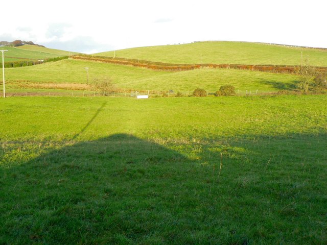
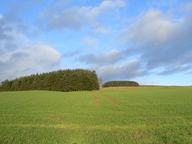
Long Plantation is a dense woodland located in Dumfriesshire, a county in the southern part of Scotland. It stretches across an area of approximately 100 acres, encompassing a mix of native and non-native tree species. The plantation is situated near the small village of Longtown, nestled between the scenic valleys of the Esk and the Liddle rivers.
The woodland is primarily composed of coniferous trees, including Scots pine, Norway spruce, and Douglas fir, which were planted in the mid-20th century for commercial purposes. These trees reach impressive heights, providing a dense canopy that creates a shaded and peaceful atmosphere within the plantation.
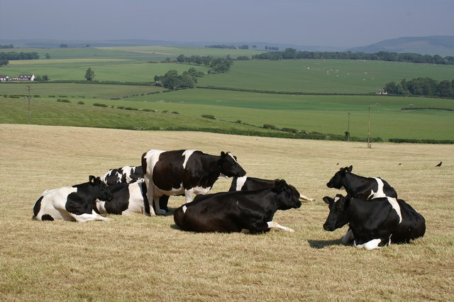
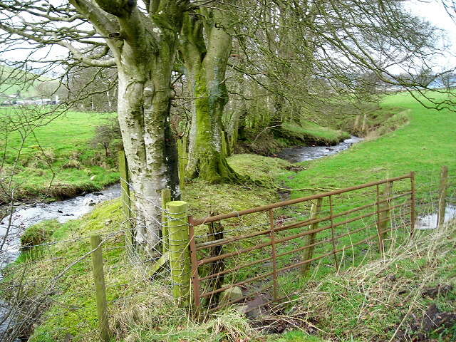
Long Plantation offers a haven for a diverse range of wildlife, with numerous bird species being particularly abundant. Visitors may spot tree pipits, wood warblers, and crossbills, among others. The woodland also supports a variety of mammals, including red squirrels, roe deer, and the occasional badger or fox.
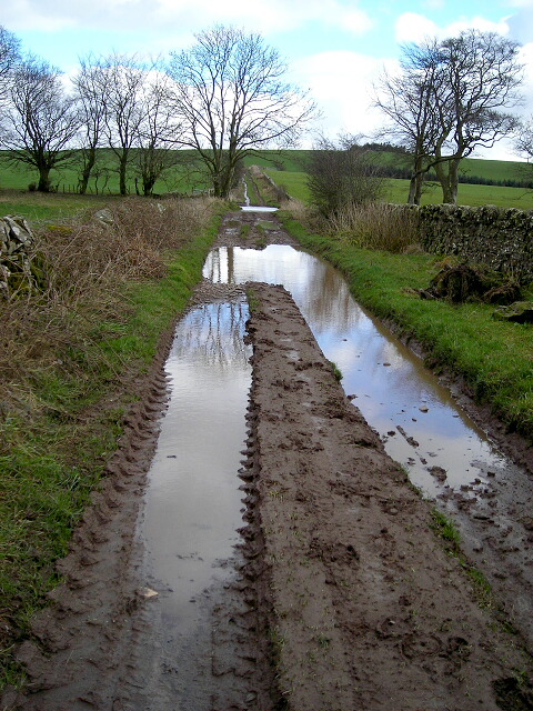
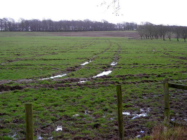
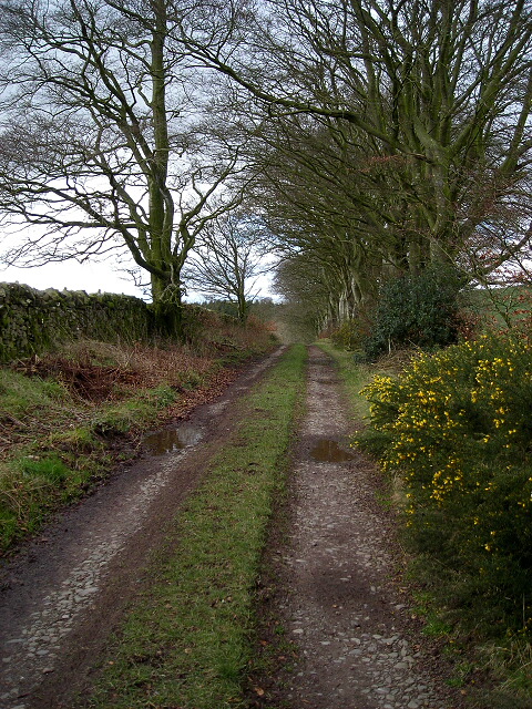
The plantation is crisscrossed by several well-maintained trails, allowing visitors to explore the woodland at their leisure. These paths wind through the trees, offering glimpses of stunning vistas and allowing visitors to immerse themselves in the natural beauty of the area.
Long Plantation is a popular destination for nature enthusiasts, hikers, and birdwatchers. Its tranquil and picturesque setting, combined with its rich biodiversity, make it an ideal spot for outdoor activities or simply enjoying a peaceful walk in the woods.
If you have any feedback on the listing, please let us know in the comments section below.
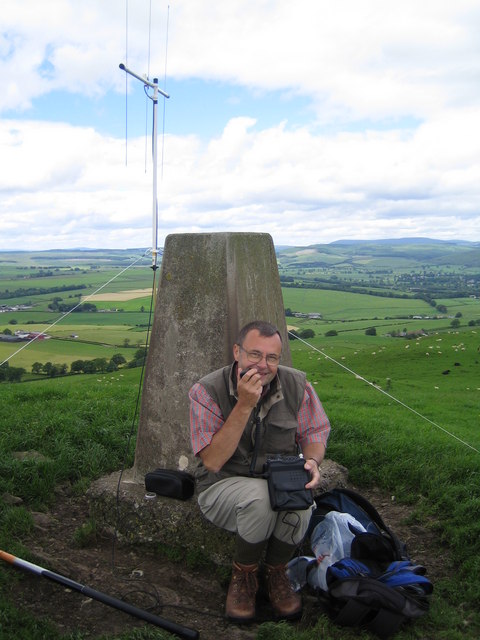
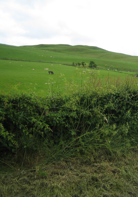
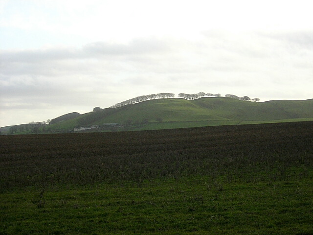
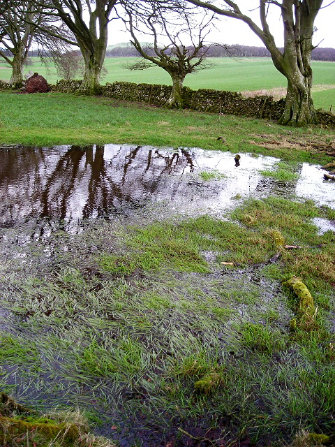
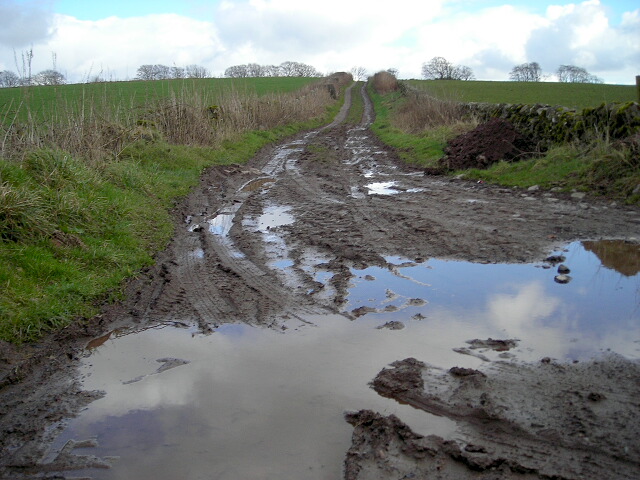
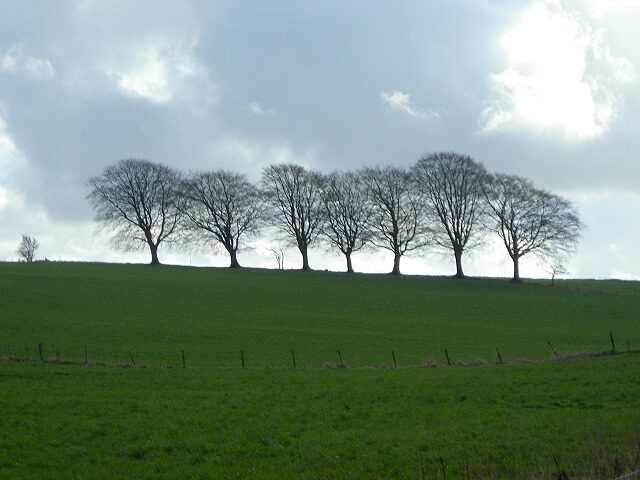
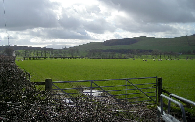
Long Plantation Images
Images are sourced within 2km of 55.127114/-3.5196648 or Grid Reference NY0382. Thanks to Geograph Open Source API. All images are credited.


Long Plantation is located at Grid Ref: NY0382 (Lat: 55.127114, Lng: -3.5196648)
Unitary Authority: Dumfries and Galloway
Police Authority: Dumfries and Galloway
What 3 Words
///quickly.rather.glassware. Near Locharbriggs, Dumfries & Galloway
Nearby Locations
Related Wikis

Shieldhill railway station
Shieldhill railway station was a station which served Shieldhill, in the Scottish county of Dumfries and Galloway. It was served by trains on a local line...
Tinwald, Dumfries and Galloway
Tinwald is a village in Dumfries and Galloway, south-west Scotland, lying a little north of Locharbriggs outside Dumfries. Tinwald is also the name of...

Amisfield
Amisfield is a village in Dumfries and Galloway, Scotland. It is located about 5 miles north of Dumfries and next to the A701 Dumfries to Edinburgh road...

Amisfield railway station
Amisfield railway station was a station which served Amisfield, in the Scottish county of Dumfries and Galloway. It was served by trains on a local line...
Nearby Amenities
Located within 500m of 55.127114,-3.5196648Have you been to Long Plantation?
Leave your review of Long Plantation below (or comments, questions and feedback).