Round Plantation
Wood, Forest in Dumfriesshire
Scotland
Round Plantation
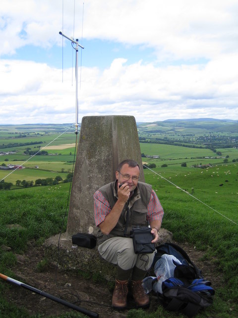
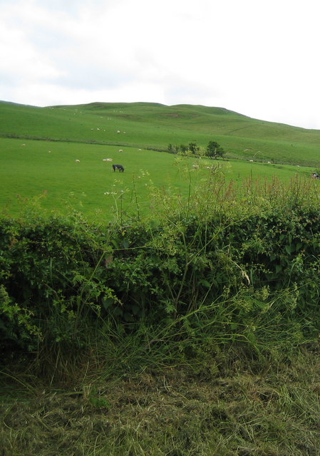
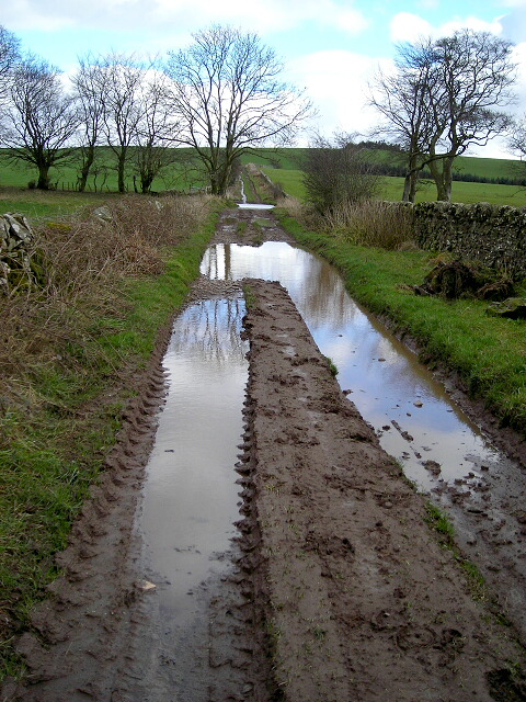
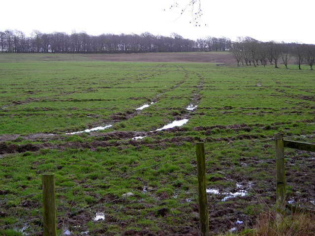
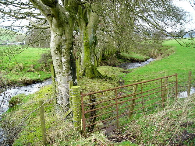
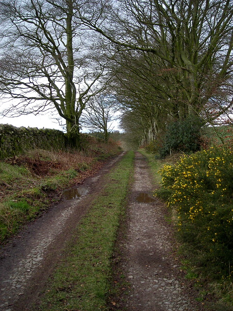
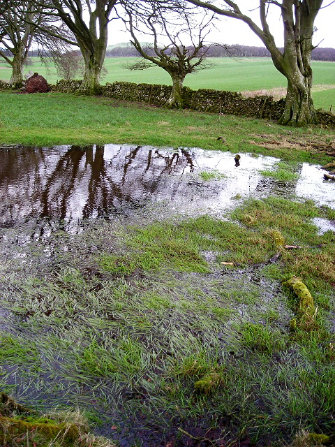
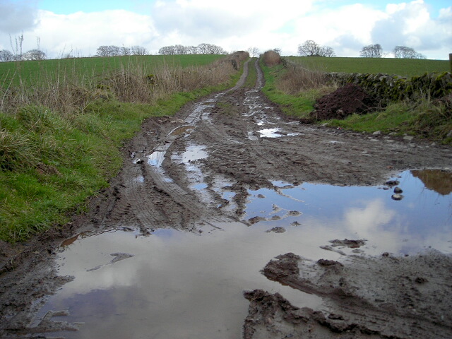
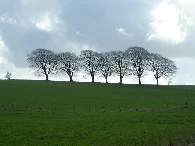
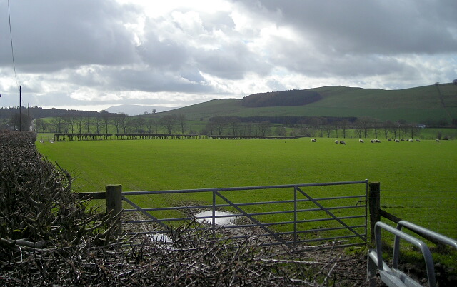
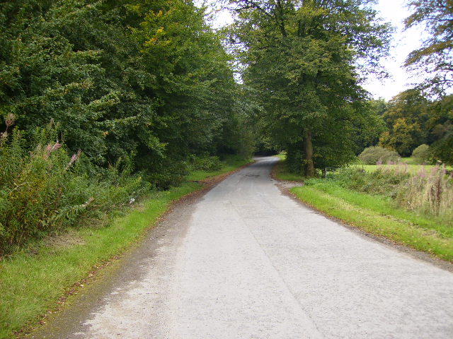
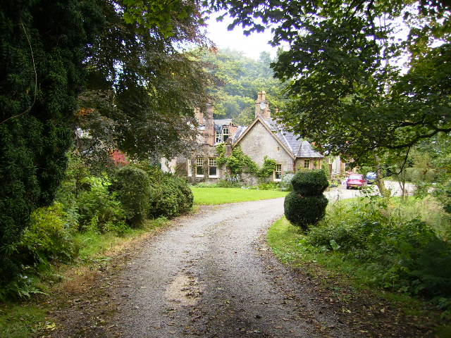
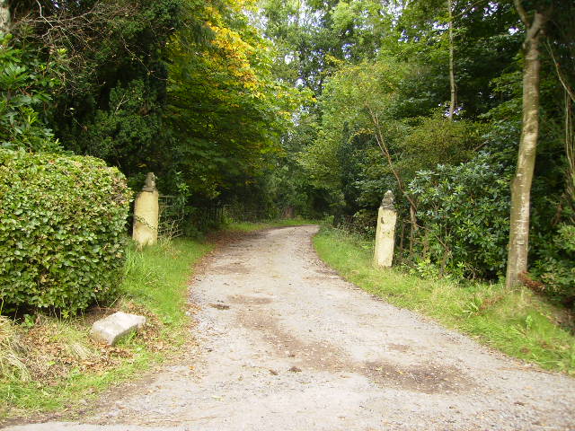
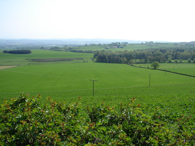
Round Plantation is a charming woodland located in Dumfriesshire, Scotland. It spans an area of approximately 100 acres and is known for its picturesque beauty and diverse plant life. The plantation is situated near the village of Wood and is surrounded by rolling hills, creating a stunning backdrop for nature enthusiasts.
The woodland consists of a mix of native tree species, including oak, birch, and beech, which provide a rich and vibrant canopy throughout the year. The dense forest floor is home to a variety of wildflowers and ferns, adding to the overall beauty and biodiversity of the area.
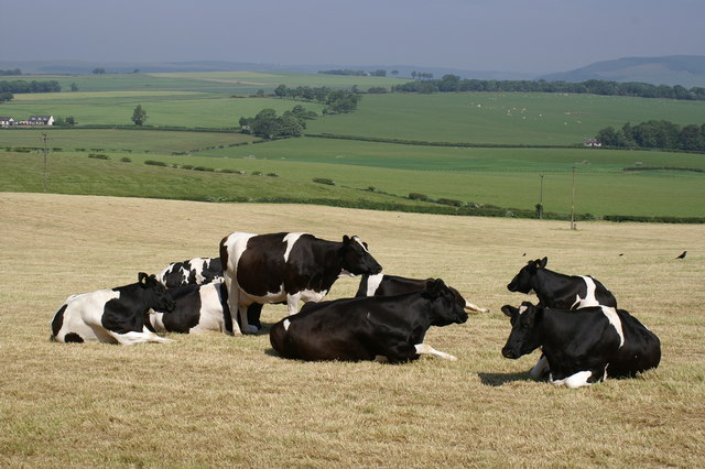
Round Plantation is a haven for wildlife, attracting a wide range of bird species, such as woodpeckers, owls, and songbirds. The woodland also supports a thriving population of mammals, including red squirrels, badgers, and deer. Nature lovers can enjoy peaceful walks along the well-maintained trails that wind through the plantation, providing opportunities for birdwatching and wildlife spotting.
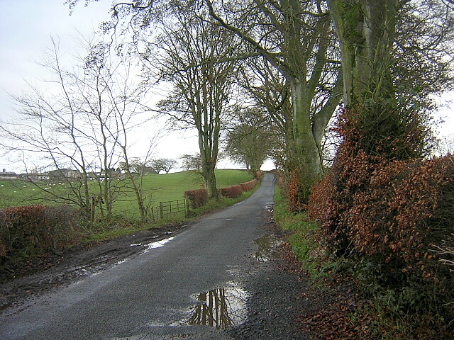
The plantation is managed by local authorities and is open to the public throughout the year. It offers a tranquil escape from the hustle and bustle of daily life, providing visitors with an immersive experience in the natural world. Whether it's a leisurely stroll, a picnic amidst the trees, or simply taking in the breathtaking views, Round Plantation is a destination that promises serenity and a deep connection with nature.
If you have any feedback on the listing, please let us know in the comments section below.
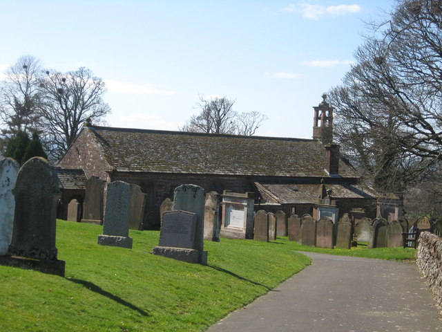
Round Plantation Images
Images are sourced within 2km of 55.127443/-3.5112865 or Grid Reference NY0382. Thanks to Geograph Open Source API. All images are credited.

Round Plantation is located at Grid Ref: NY0382 (Lat: 55.127443, Lng: -3.5112865)
Unitary Authority: Dumfries and Galloway
Police Authority: Dumfries and Galloway
What 3 Words
///aquatic.deriving.handsets. Near Lochmaben, Dumfries & Galloway
Nearby Locations
Related Wikis

Shieldhill railway station
Shieldhill railway station was a station which served Shieldhill, in the Scottish county of Dumfries and Galloway. It was served by trains on a local line...
Tinwald, Dumfries and Galloway
Tinwald is a village in Dumfries and Galloway, south-west Scotland, lying a little north of Locharbriggs outside Dumfries. Tinwald is also the name of...

Amisfield
Amisfield is a village in Dumfries and Galloway, Scotland. It is located about 5 miles north of Dumfries and next to the A701 Dumfries to Edinburgh road...

Lochmaben Hospital
Lochmaben Hospital is a health facility in Woodlands Drive, Lochmaben, Dumfries and Galloway, Scotland. It is managed by NHS Dumfries and Galloway. �...

Amisfield railway station
Amisfield railway station was a station which served Amisfield, in the Scottish county of Dumfries and Galloway. It was served by trains on a local line...

Torthorwald
Torthorwald is a village and civil parish in Dumfries and Galloway, south-west Scotland. It is located 6 kilometres (3.7 mi) east of Dumfries on the A709...

Dumfriesshire
Dumfriesshire or the County of Dumfries or Shire of Dumfries (Scottish Gaelic: Siorrachd Dhùn Phris) is a historic county and registration county in southern...

Lochmaben Town Hall
Lochmaben Town Hall is a municipal building in the High Street in Lochmaben, Dumfries and Galloway, Scotland. The structure, which accommodates a library...
Nearby Amenities
Located within 500m of 55.127443,-3.5112865Have you been to Round Plantation?
Leave your review of Round Plantation below (or comments, questions and feedback).