Half Moon Plantation
Wood, Forest in Fife
Scotland
Half Moon Plantation

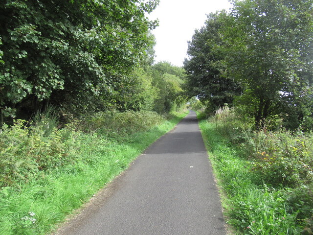
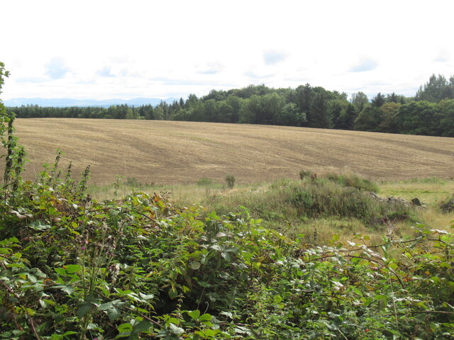
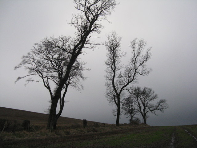
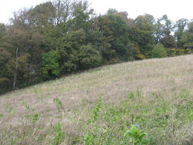
Half Moon Plantation is a picturesque woodland area located in Fife, Scotland. Covering a vast expanse of land, the plantation is renowned for its dense forest and natural beauty. The name "Half Moon" comes from the crescent-shaped grove of trees that can be seen from above, resembling a half moon.
The plantation is home to a diverse range of flora and fauna, making it a haven for nature enthusiasts. Towering oak trees, beech trees, and birch trees dominate the landscape, providing a lush canopy that filters sunlight and creates a cool, tranquil environment. The forest floor is carpeted with a variety of wildflowers, ferns, and mosses, adding to the enchanting atmosphere.
Visitors to Half Moon Plantation can explore the numerous walking trails that wind through the forest, offering stunning views of the surrounding countryside. The plantation is also popular among birdwatchers, as it attracts a wide array of bird species, including woodpeckers, owls, and songbirds.
In addition to its natural charm, Half Moon Plantation has historical significance. The area was once used for timber production, and remnants of old sawmills and logging roads can still be found within the plantation. This rich history adds an intriguing element to the overall experience for those interested in the region's past.
Overall, Half Moon Plantation is a captivating woodland retreat that showcases the beauty of Scotland's natural landscape. It offers a serene escape from the hustle and bustle of everyday life and provides a sanctuary for both wildlife and visitors alike.
If you have any feedback on the listing, please let us know in the comments section below.
Half Moon Plantation Images
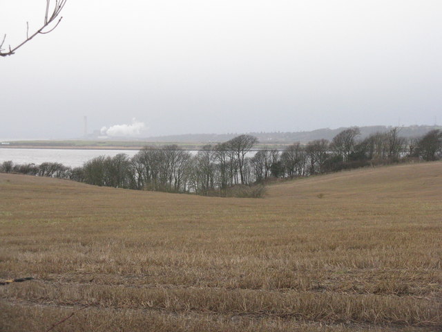
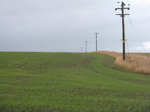
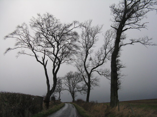
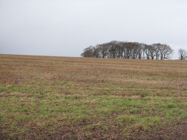
Images are sourced within 2km of 56.060832/-3.5561971 or Grid Reference NT0386. Thanks to Geograph Open Source API. All images are credited.

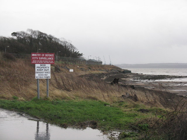
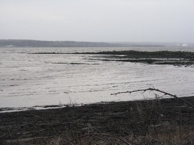
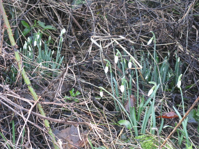
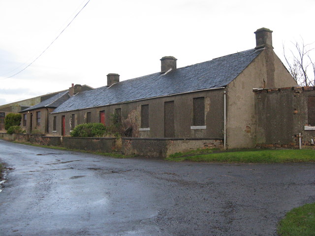


Half Moon Plantation is located at Grid Ref: NT0386 (Lat: 56.060832, Lng: -3.5561971)
Unitary Authority: Fife
Police Authority: Fife
What 3 Words
///alive.overpower.probably. Near Cairneyhill, Fife
Nearby Locations
Related Wikis
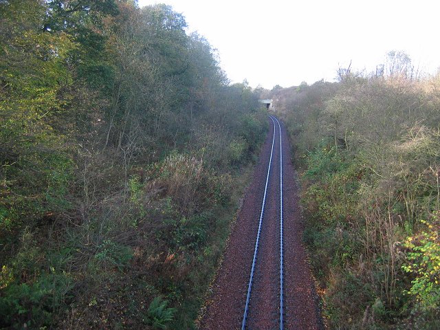
Cairneyhill railway station
Cairneyhill railway station served the village of Cairneyhill, Fife, Scotland from 1906 to 1930 on the Kincardine Line. == History == The station opened...

Torryburn railway station
Torryburn railway station served the village of Torryburn, Fife, Scotland from 1906 to 1930 on the Kincardine Line. == History == The station was opened...

Oakley, Fife
Oakley is a village in Fife, Scotland located at the mutual border of Carnock and Culross parishes, Fife, 5+1⁄2 miles (9 kilometres) west of Dunfermline...
Torryburn
Torryburn (previously called Torry/ Torrie) is a village and parish in Fife, Scotland, lying on the north shore of the Firth of Forth. It is one of a number...
Nearby Amenities
Located within 500m of 56.060832,-3.5561971Have you been to Half Moon Plantation?
Leave your review of Half Moon Plantation below (or comments, questions and feedback).