Castlandhill
Settlement in Fife
Scotland
Castlandhill
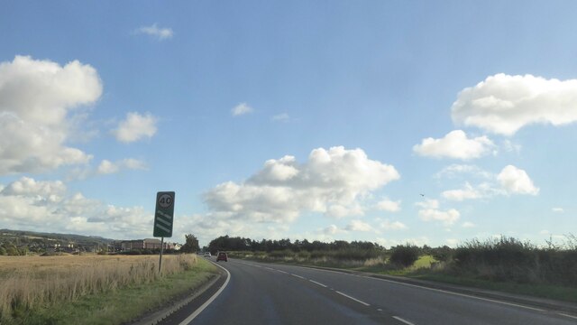
Castlandhill is a small rural area located in the county of Fife, Scotland. Situated about 5 miles southwest of the town of Dunfermline, it is nestled amidst the picturesque countryside, offering stunning views of the surrounding landscape.
The name 'Castlandhill' is derived from an ancient hillfort that once stood in the area, believed to have been built during the Iron Age. Today, all that remains are some earthworks and remnants of the fort, but its historical significance adds to the charm and intrigue of the locality.
The area is primarily residential, with a scattering of houses and cottages, giving it a peaceful and tranquil atmosphere. The community in Castlandhill is tight-knit, and residents often engage in various activities to foster a sense of togetherness.
Nature enthusiasts will appreciate the abundance of natural beauty in Castlandhill. The rolling hills and verdant fields are perfect for leisurely walks and picnics, while nearby woodlands offer opportunities for hiking and exploring.
For those seeking a taste of history, Dunfermline Abbey, the final resting place of many Scottish monarchs, is just a short drive away. The abbey is steeped in history and offers a glimpse into the rich cultural heritage of the region.
Although Castlandhill may be small, its idyllic setting and close proximity to amenities make it an attractive place to live for those seeking a peaceful retreat away from the hustle and bustle of city life.
If you have any feedback on the listing, please let us know in the comments section below.
Castlandhill Images
Images are sourced within 2km of 56.022613/-3.4294451 or Grid Reference NT1182. Thanks to Geograph Open Source API. All images are credited.


Castlandhill is located at Grid Ref: NT1182 (Lat: 56.022613, Lng: -3.4294451)
Unitary Authority: Fife
Police Authority: Fife
What 3 Words
///control.sweetly.contracting. Near Rosyth, Fife
Nearby Locations
Related Wikis
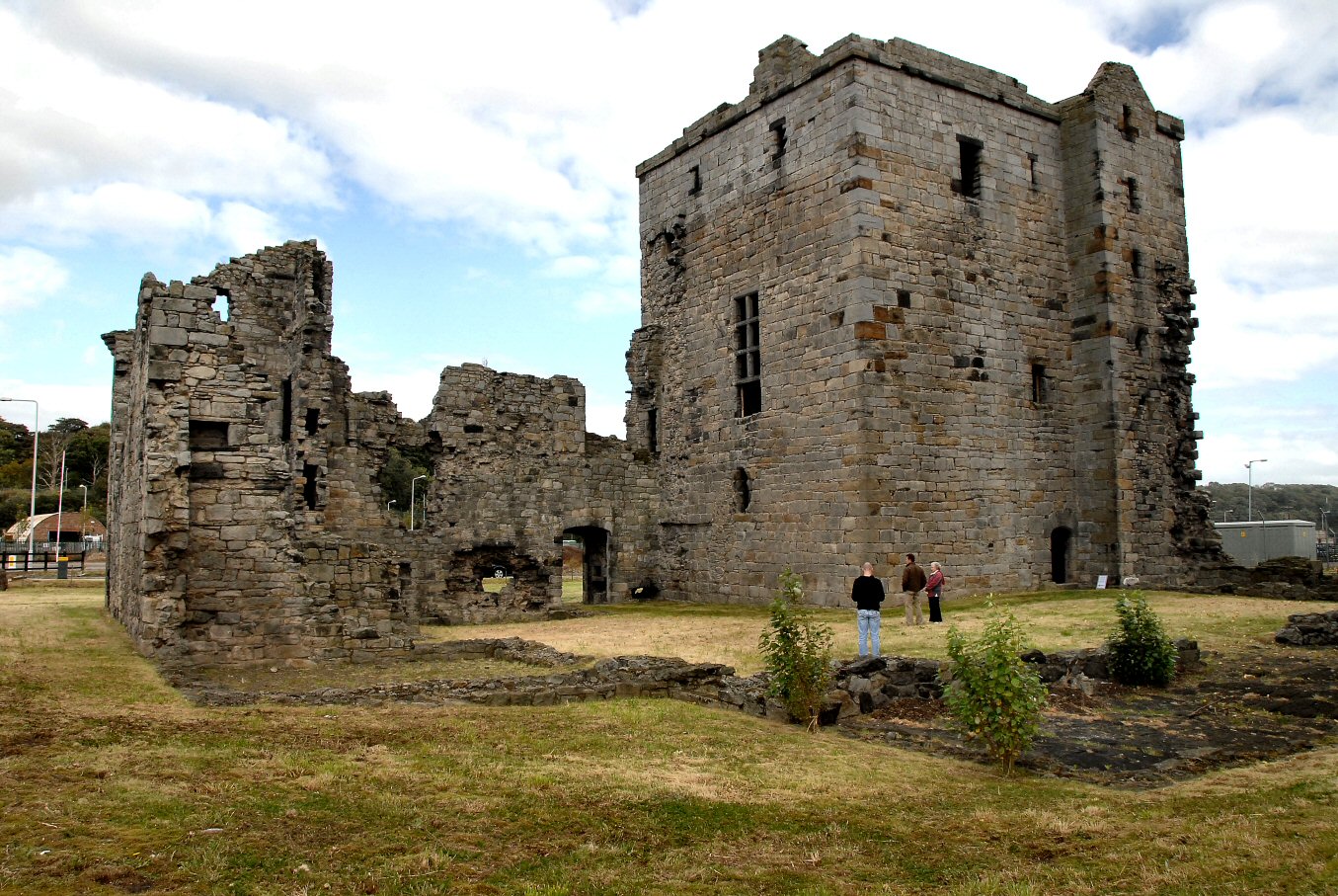
Rosyth Castle
Rosyth Castle is a fifteenth-century ruined tower house on the perimeter of Rosyth Naval Dockyard, Fife, Scotland. It originally stood on a small island...

Rosyth
Rosyth (Scottish Gaelic: Ros Fhìobh, "headland of Fife") is a town on the Firth of Forth, three miles (five kilometres) south of the centre of Dunfermline...

Goliath (Rosyth)
Goliath is a crane in Rosyth Dockyard, Scotland, with a lift capacity of 1,000 tonnes (980 long tons; 1,100 short tons), the largest in Britain. ��2�...

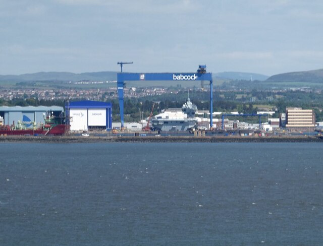
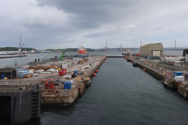
Rosyth Dockyard
Rosyth Dockyard is a large naval dockyard on the Firth of Forth at Rosyth, Fife, Scotland, owned by Babcock Marine, which formerly undertook refitting...

HMS Caledonia (base)
His Majesty’s Ship Caledonia (HMS Caledonia) is a military establishment of the Royal Navy based next to the former Royal Naval Dockyard, Rosyth in Scotland...
HMS Scotia (shore establishment)
HMS Scotia is one of the newest Royal Naval Reserve units, formed in 1958, and currently recruiting from the east of Scotland. The unit inhabits spacious...
Inverkeithing Town House
Inverkeithing Town House is a municipal building in the Townhall Street, Inverkeithing, Fife, Scotland. The structure, which is used as a base by members...
Pattiesmuir
Pattiesmuir (formerly Pettimuir, Pettymuir and also known as Patiemuir, Patiesmuir and Peattie Muir) is a small, dormitory hamlet located in the west of...
Nearby Amenities
Located within 500m of 56.022613,-3.4294451Have you been to Castlandhill?
Leave your review of Castlandhill below (or comments, questions and feedback).