Castlandhill

Hill, Mountain in Fife

Scotland

Castlandhill

Terraced houses on Admiralty Road, Rosyth
Terraced houses on Admiralty Road, Rosyth Credit: Alpin Stewart

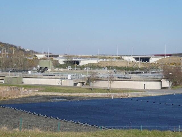
Castlandhill is a prominent hill located in the county of Fife, Scotland. Standing at an elevation of approximately 128 meters (420 feet), it offers stunning panoramic views of the surrounding landscape. The hill is situated near the town of Ceres, just a few miles southwest of Cupar.

Covered in lush greenery, Castlandhill is a popular destination for outdoor enthusiasts and nature lovers. It is home to a variety of plant and animal species, making it an ideal spot for birdwatching and wildlife observation. During the spring and summer months, the hill is adorned with vibrant wildflowers, adding to its picturesque charm.

The hill's name originates from a historical fortification that once stood on its summit. Castlandhill Fort, believed to have been built in the Iron Age, was an important stronghold in the region. Although no visible remains of the fort exist today, its presence adds a sense of historical significance to the area.

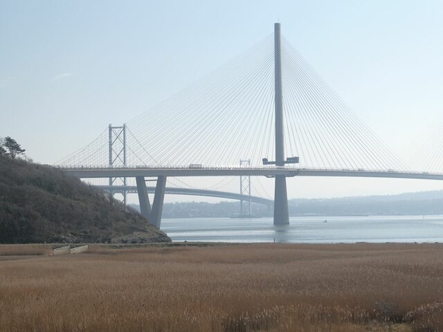
A network of footpaths and trails crisscross the hill, allowing visitors to explore its enchanting surroundings. The main trail leads to the summit, where a viewpoint provides a breathtaking panorama of the Fife countryside, including the Lomond Hills to the west and the North Sea to the east.

Overall, Castlandhill in Fife offers a tranquil and scenic escape for those seeking a connection with nature and a glimpse into the region's rich history.

If you have any feedback on the listing, please let us know in the comments section below.
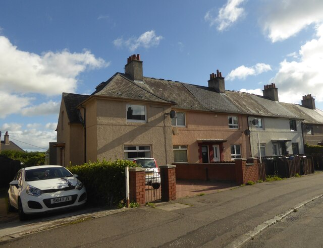
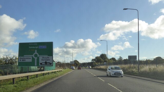
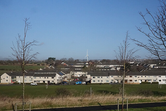
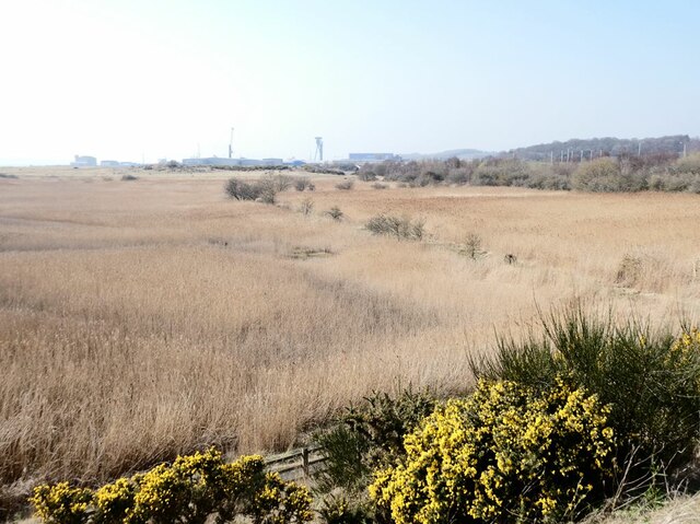
Castlandhill Images

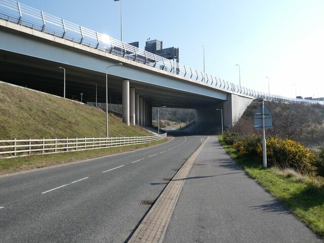
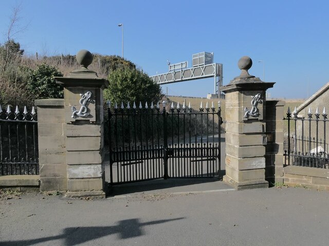
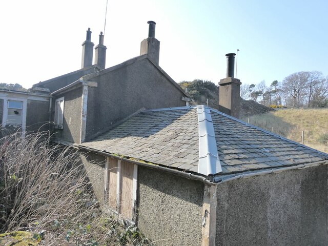
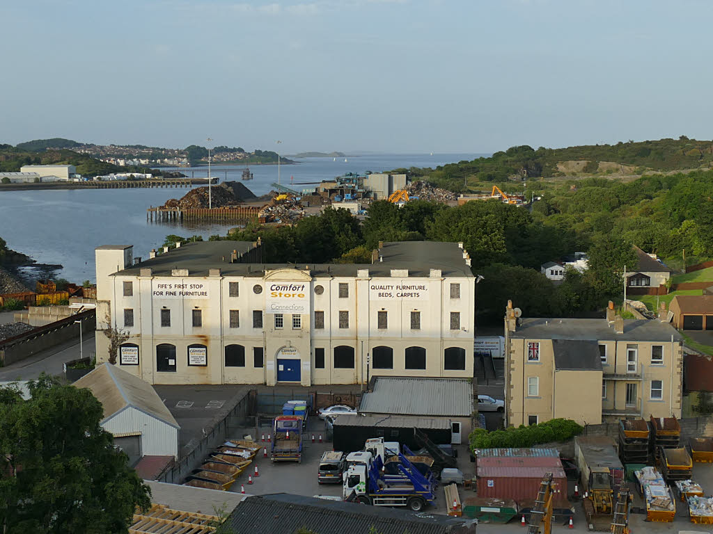
Images are sourced within 2km of 56.029591/-3.4157417 or Grid Reference NT1182. Thanks to Geograph Open Source API. All images are credited.

Terraced houses on Admiralty Road, Rosyth
Housing on Admiralty Road, Rosyth
Admiralty Road, Rosyth
Housing Estate Looking down from Unwin Avenue towards Forker Avenue and other blocks of modern terraced houses.
Housing Estate
Looking down from Unwin Avenue towards Forker Avenue and other blocks of modern terraced houses.
Open Fields The street lights mark the sudden end of the built-up area of Rosyth. In the distance is Pattiesmuir, which is in the next grid square.
Open Fields
The street lights mark the sudden end of the built-up area of Rosyth. In the distance is Pattiesmuir, which is in the next grid square.
Former constructor's yard Beyond the light-controlled crossing on King Malcolm Drive is a large constructor's yard formerly used by contractors engaged on the construction of the Queensferry Crossing, now apparently disused.
Former constructor's yard
Beyond the light-controlled crossing on King Malcolm Drive is a large constructor's yard formerly used by contractors engaged on the construction of the Queensferry Crossing, now apparently disused.
Entrance to the Doubletree by Hilton Hotel. Occupying a stunning site overlooking the bridge over the Forth, the large notice advertises:
"FABULOUS WEDDINGS
Stunning Wedding Suite
Views of the Forth and Famous Bridges
Fantastic Packages and Incentives available"
One can't help wondering - if incentives of any sort are needed, should the couple really be getting married at all?
Entrance to the Doubletree by Hilton Hotel.
Occupying a stunning site overlooking the bridge over the Forth, the large notice advertises: "FABULOUS WEDDINGS Stunning Wedding Suite Views of the Forth and Famous Bridges Fantastic Packages and Incentives available" One can't help wondering - if incentives of any sort are needed, should the couple really be getting married at all?
Disused railway to Rosyth Dockyard Railway from Inverkeithing to Rosyth Dockyard, apparently in use until  1988. At the Inverkeithing end, the track has been removed.
Disused railway to Rosyth Dockyard
Railway from Inverkeithing to Rosyth Dockyard, apparently in use until 1988. At the Inverkeithing end, the track has been removed.
St Margaret's Marsh On the shore of the Firth of Forth. Rosyth Europarc <a href="https://www.geograph.org.uk/gridref/NT1081">NT1081</a> can be seen beyond.
St Margaret's Marsh
On the shore of the Firth of Forth. Rosyth Europarc NT1081 can be seen beyond.
Driveway to Castlandhill House There are plans for a major redevelopment of the site of Castlandhill House to build 200 houses, a hotel and a Country Park.
Driveway to Castlandhill House
There are plans for a major redevelopment of the site of Castlandhill House to build 200 houses, a hotel and a Country Park.
North Queensferry Waste Water Treatment Works On a site bounded by the Ferry Toll Road, the B981 and the Queensferry Crossing (seen in the background).
North Queensferry Waste Water Treatment Works
On a site bounded by the Ferry Toll Road, the B981 and the Queensferry Crossing (seen in the background).
Reed beds at Cult Ness These reedbeds appear to be part of the North Queensferry Waste Water Treatment Works. Beyond are the Queensferry Crossing and the original Forth Road Bridge.
Reed beds at Cult Ness
These reedbeds appear to be part of the North Queensferry Waste Water Treatment Works. Beyond are the Queensferry Crossing and the original Forth Road Bridge.
North end of the Queensferry Crossing Western limb of the roundabout on Junction 1b on the M90.In the background is the rocky knoll through which a railway cutting has been made.
North end of the Queensferry Crossing
Western limb of the roundabout on Junction 1b on the M90.In the background is the rocky knoll through which a railway cutting has been made.
North Queensferry Park and Ride site The bus station from which buses convey car rivers into Edinburgh. In the background the railway viaduct leading to the Forth Bridge.
North Queensferry Park and Ride site
The bus station from which buses convey car rivers into Edinburgh. In the background the railway viaduct leading to the Forth Bridge.
Motorway bridge over the B981 The bridge carries the Queensferry Crossing, M90 over the B981 down to North Queensferry village.
Motorway bridge over the B981
The bridge carries the Queensferry Crossing, M90 over the B981 down to North Queensferry village.
Original gateway to St Margaret's Hope These grand gates were built in 1829, modified in 1916 at the entrance to the grounds of St Margaret's Hope, a country house on the shores of the Firth of Forth. In the  20th century, the house passed from private ownership into the  subsequently relinquished the house in 1996 which is now let out to a business. The driveway between the gateway and the house has been severed by the construction of the Queensferry Crossing (M90) seen in the background. A derelict lodge of some architectural interest stands beside the gate.
Original gateway to St Margaret's Hope
These grand gates were built in 1829, modified in 1916 at the entrance to the grounds of St Margaret's Hope, a country house on the shores of the Firth of Forth. In the 20th century, the house passed from private ownership into the subsequently relinquished the house in 1996 which is now let out to a business. The driveway between the gateway and the house has been severed by the construction of the Queensferry Crossing (M90) seen in the background. A derelict lodge of some architectural interest stands beside the gate.
Gatelodge to St Margaret's Hope This derelict lodge of some architectural interest stands beside a grand gateway at what was originally the entrance to the grounds of St Margaret's Hope, a country house on the shores of the Firth of Forth. In the  20th century, the house passed from private ownership into the hands of the Admiralty and was then known as "Admiralty House". The Admiralty  subsequently relinquished the house in 1996 which is now let out to a business. The driveway between the gateway and the house has been severed by the construction of the Queensferry Crossing (M90).
Gatelodge to St Margaret's Hope
This derelict lodge of some architectural interest stands beside a grand gateway at what was originally the entrance to the grounds of St Margaret's Hope, a country house on the shores of the Firth of Forth. In the 20th century, the house passed from private ownership into the hands of the Admiralty and was then known as "Admiralty House". The Admiralty subsequently relinquished the house in 1996 which is now let out to a business. The driveway between the gateway and the house has been severed by the construction of the Queensferry Crossing (M90).
Inverkeithing Scrap Terminal One of the least lovely sights along the Fife Coastal Path.
Inverkeithing Scrap Terminal
One of the least lovely sights along the Fife Coastal Path.
Show me another place!

Castlandhill is located at Grid Ref: NT1182 (Lat: 56.029591, Lng: -3.4157417)

Unitary Authority: Fife

Police Authority: Fife

What 3 Words

///offerings.unit.salt. Near Inverkeithing, Fife

Related Wikis

Jamestown, Fife

Jamestown is a hamlet in Fife, Scotland, on the south side of Inverkeithing's Inner Bay. The nearby Jamestown Viaduct carries the Fife Circle Line over...

Rosyth

Rosyth (Scottish Gaelic: Ros Fhìobh, "headland of Fife") is a town in Fife, Scotland, on the Firth of Forth. Scotland's first Garden City, the town is...

Inverkeithing

Inverkeithing ( ; Scottish Gaelic: Inbhir Chèitinn) is a coastal town, parish and historic Royal burgh in Fife, Scotland, on the Firth of Forth, 9½ miles...
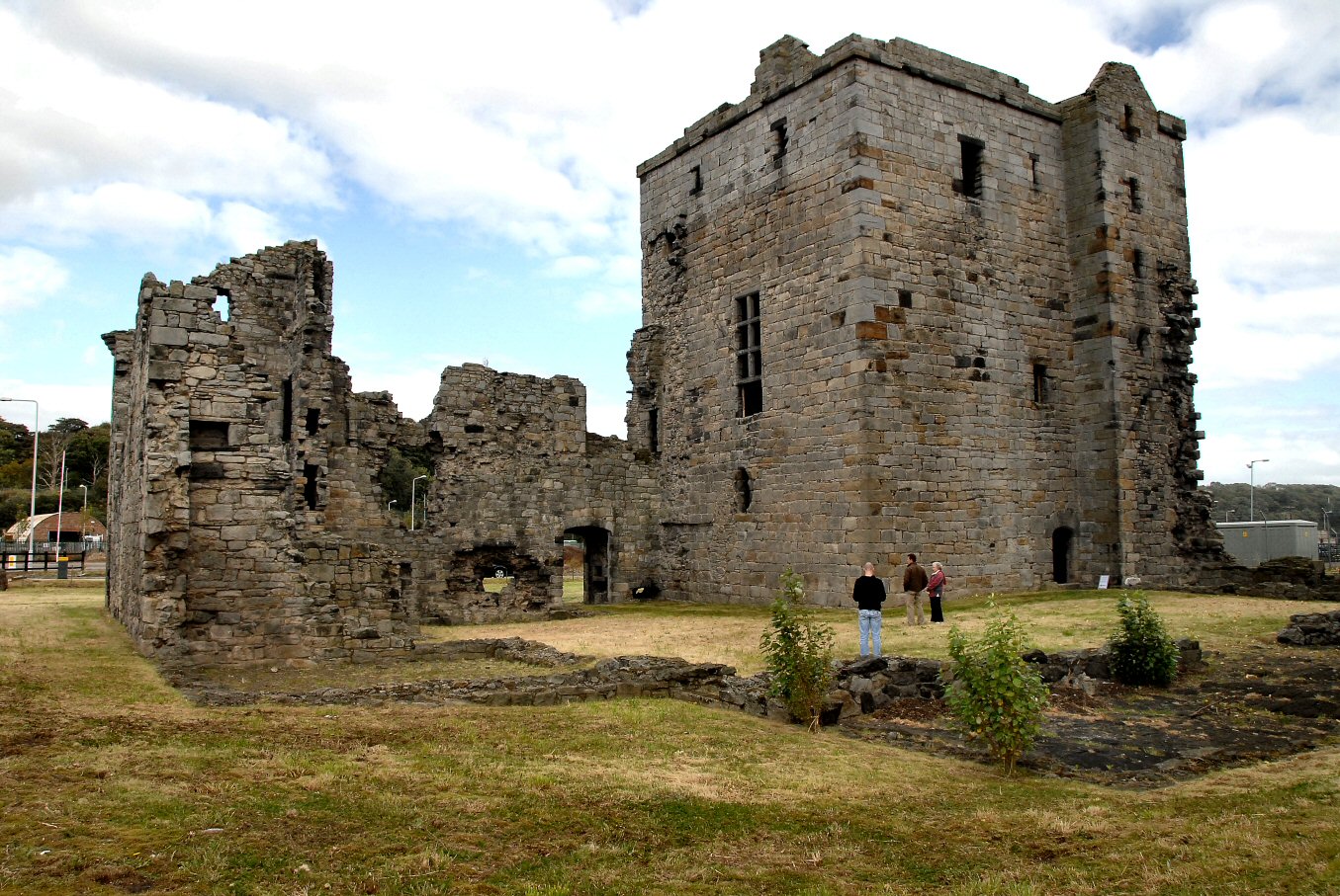
Rosyth Castle

Rosyth Castle is a fifteenth-century ruined tower house on the perimeter of Rosyth Naval Dockyard, Fife, Scotland. It originally stood on a small island...

Nearby Amenities

Located within 500m of 56.029591,-3.4157417
Man Made: tower
Source: Bing
Tower Construction: lattice
Tower Type: communication
Lat/Long: 56.0283767/-3.4156558
Man Made: tower
Source: Bing
Tower Type: communication
Lat/Long: 56.0282519/-3.4130694
Man Made: tower
Tower Type: communication
Lat/Long: 56.0299133/-3.4145316
Man Made: tower
Tower Type: communication
Lat/Long: 56.0295791/-3.4145799
Man Made: survey_point
Lat/Long: 56.0295866/-3.4156903
Post Box
Collection Times: Mo-Fr 09:00; Sa 07:00
Operator: Royal Mail
Post Box Type: lamp
Ref: KY11 45D
Royal Cypher: scottish_crown
Lat/Long: 56.0336996/-3.4154584
Bus Stop
Fairykirk Road
Bus: yes
Public Transport: platform
Lat/Long: 56.0337218/-3.4130357
Bus Stop
Fairykirk Road
Bus: yes
Departures Board: timetable
Public Transport: platform
Shelter: yes
Lat/Long: 56.0334297/-3.4128337
Bus Stop
Bus: yes
Naptan AtcoCode: 6500D1020
Naptan NaptanCode: 34323475
Public Transport: platform
Lat/Long: 56.0338219/-3.4150076
Building: bunker
Bunker Type: pillbox
Landuse: military
Military: bunker
Lat/Long: 56.0277515/-3.4126064
Building: bunker
Bunker Type: pillbox
Landuse: military
Military: bunker
Lat/Long: 56.0294743/-3.4120761
Building: bunker
Bunker Type: pillbox
Landuse: military
Military: bunker
Lat/Long: 56.0284576/-3.4151092
Addr City: Rosyth
Addr Housenumber: 1
Addr Postcode: KY11 2WR
Addr Street: Castlandhill Farm Steadings
Lat/Long: 56.0290083/-3.4139079
Addr City: Rosyth
Addr Housenumber: 2
Addr Postcode: KY11 2WR
Addr Street: Castlandhill Farm Steadings
Lat/Long: 56.0290928/-3.4139295
Addr City: Rosyth
Addr Housenumber: 3
Addr Postcode: KY11 2WR
Addr Street: Castlandhill Farm Steadings
Lat/Long: 56.029176/-3.4139367
Addr City: Rosyth
Addr Housenumber: 4
Addr Postcode: KY11 2WR
Addr Street: Castlandhill Farm Steadings
Lat/Long: 56.0292833/-3.4139367
Addr City: Rosyth
Addr Housenumber: 5
Addr Postcode: KY11 2WR
Addr Street: Castlandhill Farm Steadings
Lat/Long: 56.029294/-3.4135358
Addr City: Rosyth
Addr Housenumber: 6
Addr Postcode: KY11 2WR
Addr Street: Castlandhill Farm Steadings
Lat/Long: 56.0291639/-3.4133294
Addr City: Rosyth
Addr Housenumber: 7
Addr Postcode: KY11 2WR
Addr Street: Castlandhill Farm Steadings
Lat/Long: 56.0290163/-3.4135766
Castland Hill
Ele: 85
Natural: peak
Lat/Long: 56.0295917/-3.4157488
Generator Method: photovoltaic
Generator Output Electricity: yes
Generator Source: solar
Generator Type: solar_photovoltaic_panel
Power: generator
Lat/Long: 56.0330563/-3.4169039
Generator Method: photovoltaic
Generator Output Electricity: yes
Generator Source: solar
Generator Type: solar_photovoltaic_panel
Power: generator
Lat/Long: 56.033132/-3.4162004
Traffic Calming: cushion
Lat/Long: 56.0336943/-3.4163086
Material: wood
Power: pole
Lat/Long: 56.0294066/-3.4085151
Power: pole
Lat/Long: 56.029217/-3.4096881
The data included in this document is from www.openstreetmap.org. The data is made available under ODbL.

Have you been to Castlandhill?

Leave your review of Castlandhill below (or comments, questions and feedback).