Castellior
Settlement in Anglesey
Wales
Castellior
Castellior is a small village located on the island of Anglesey in northwest Wales. Situated on the eastern coast of the island, it is nestled between the larger towns of Menai Bridge and Beaumaris. The village is home to a population of around 500 residents.
The village of Castellior is known for its picturesque setting, with stunning views of the Menai Strait and the Snowdonia mountain range in the distance. Its charming and peaceful atmosphere attracts both locals and tourists alike. The village is surrounded by lush green fields and rolling hills, making it an ideal location for countryside walks and outdoor activities.
One of the main attractions in Castellior is its historic castle, after which the village is named. The castle, dating back to the 12th century, offers visitors a glimpse into the area's rich history. It served as a strategic stronghold during various periods and played a significant role in the defense of Anglesey.
In terms of amenities, Castellior offers a range of facilities to cater to its residents' needs. These include a village hall, a primary school, a post office, and a few local shops. The village also benefits from good transportation links, with regular bus services connecting it to nearby towns and villages.
Overall, Castellior is a quaint and scenic village that provides residents and visitors with a peaceful and idyllic retreat. Its historical significance, natural beauty, and community spirit make it a truly special place on the island of Anglesey.
If you have any feedback on the listing, please let us know in the comments section below.
Castellior Images
Images are sourced within 2km of 53.244853/-4.184719 or Grid Reference SH5474. Thanks to Geograph Open Source API. All images are credited.


Castellior is located at Grid Ref: SH5474 (Lat: 53.244853, Lng: -4.184719)
Unitary Authority: Isle of Anglesey
Police Authority: North Wales
What 3 Words
///customers.curl.jigging. Near Menai Bridge, Isle of Anglesey
Nearby Locations
Related Wikis

Castellior
Castellior is a hamlet in the community of Penmynydd, Anglesey, Wales, which is 129.1 miles (207.7 km) from Cardiff and 208.9 miles (336.2 km) from London...
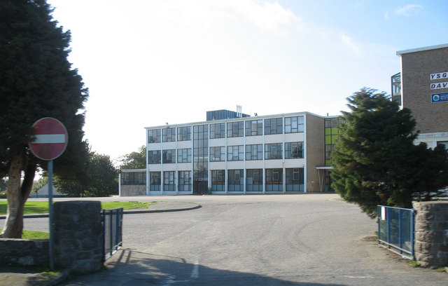
Ysgol David Hughes
Ysgol David Hughes (meaning: David Hughes School) is a bilingual secondary school on Anglesey, Wales. The school building was completed and opened in Menai...
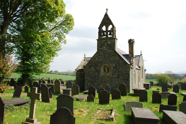
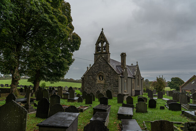
St Sadwrn's Church, Llansadwrn
St Sadwrn's Church, Llansadwrn (; Welsh: [ɬanˈsadʊn]) is a church in the village of Llansadwrn, Anglesey, Wales. It is dedicated to the Welsh saint Sadwrn...

Ty Mawr Burial Chamber
Ty Mawr Burial Chamber is a Neolithic dolmen located northeast of the town Llanfairpwllgwyngyll in Anglesey, Wales. == Description == The burial chamber...
Nearby Amenities
Located within 500m of 53.244853,-4.184719Have you been to Castellior?
Leave your review of Castellior below (or comments, questions and feedback).