Castellhenri
Settlement in Pembrokeshire
Wales
Castellhenri

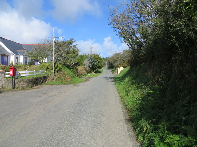
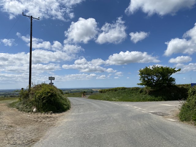
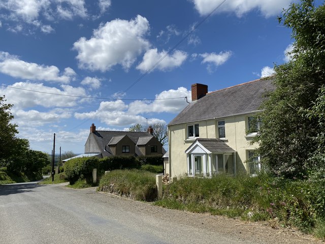
Castellhenri is a small village located in the county of Pembrokeshire, Wales. Situated near the southeastern coast of the country, it lies within the picturesque surroundings of the Pembrokeshire Coast National Park. The village is nestled between the towns of Pembroke and Tenby, approximately 3 miles from the former and 8 miles from the latter.
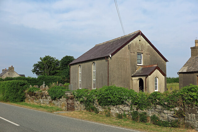
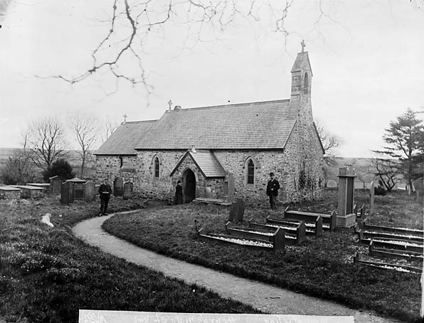
Castellhenri is known for its rich history, with the remnants of a medieval castle being the main attraction. The castle, after which the village is named, was built in the 13th century by Henry de Perrott. Although only fragments of the castle remain today, it still serves as a reminder of the area's past.
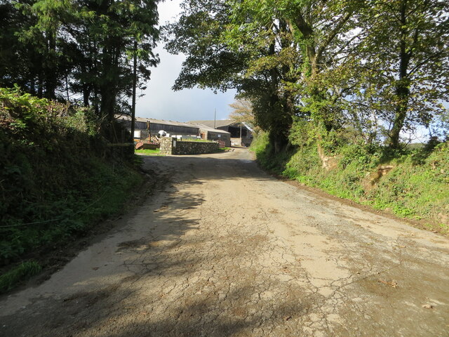
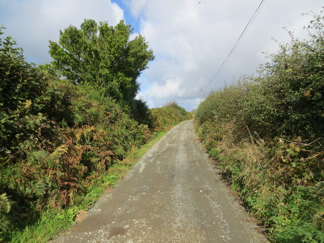
The village itself is a peaceful and tranquil place, with a small population of residents. It offers a quiet retreat for those seeking to escape the hustle and bustle of urban life. The surrounding countryside provides ample opportunities for outdoor activities such as hiking, cycling, and birdwatching.
Despite its small size, Castellhenri is well-connected to the nearby towns and cities. There are regular bus services that connect the village to Pembroke and Tenby, providing convenient access to amenities and services. Additionally, the village is within a short driving distance to the A477 road, which connects it to other major cities in the region.
Overall, Castellhenri is a charming village with a rich historical heritage and natural beauty, making it an attractive destination for history enthusiasts and nature lovers alike.
If you have any feedback on the listing, please let us know in the comments section below.
Castellhenri Images
Images are sourced within 2km of 51.906965/-4.85074 or Grid Reference SN0427. Thanks to Geograph Open Source API. All images are credited.


Castellhenri is located at Grid Ref: SN0427 (Lat: 51.906965, Lng: -4.85074)
Unitary Authority: Pembrokeshire
Police Authority: Dyfed Powys
What 3 Words
///albums.cherub.dark. Near Ambleston, Pembrokeshire
Nearby Locations
Related Wikis
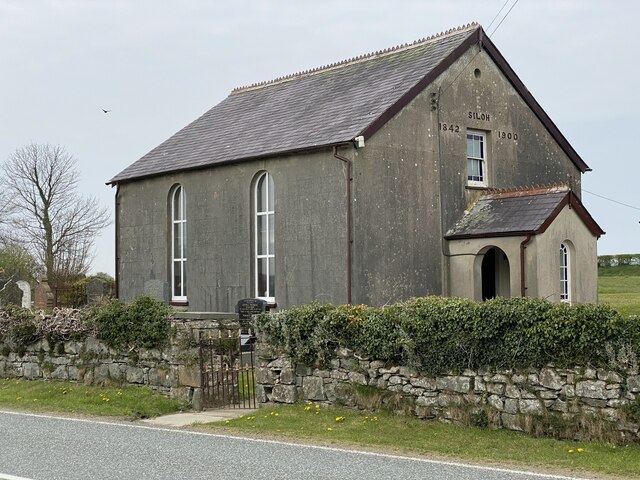
Henry's Moat
Henry's Moat is a hamlet and parish in Pembrokeshire, Wales, in the community of Puncheston. It is 7 miles (11 km) southeast of Fishguard and 9 miles...

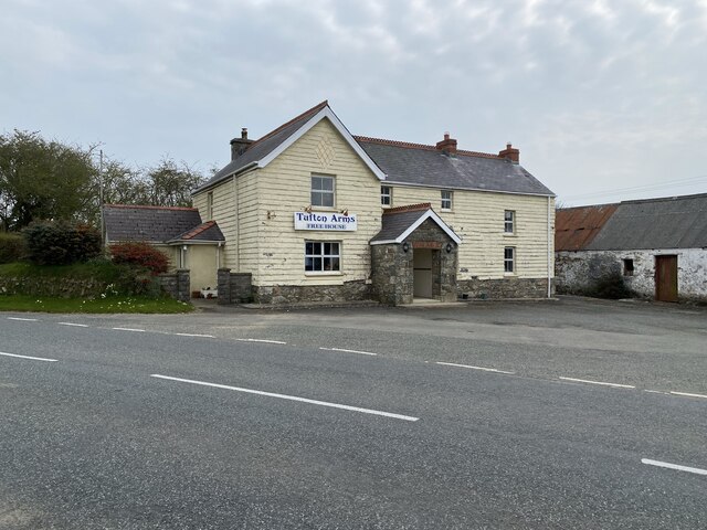
Tufton, Pembrokeshire
Tufton is a crossroads hamlet in the parish of Henry's Moat in Pembrokeshire, Wales, on the B4329, a road between Eglwyswrw and Haverfordwest across the...

Haverfordwest transmitting station
The Haverfordwest transmitting station is a broadcasting and telecommunications facility located at Woodstock about 13 km (8 mi) to the north east of the...

102.5 Radio Pembrokeshire
Radio Pembrokeshire is an Independent Local Radio station that broadcasts to Pembrokeshire. It is owned and operated by Nation Broadcasting and broadcasts...
Nearby Amenities
Located within 500m of 51.906965,-4.85074Have you been to Castellhenri?
Leave your review of Castellhenri below (or comments, questions and feedback).