Allt y Gold

Wood, Forest in Pembrokeshire

Wales

Allt y Gold

Earth banked and tree-lined minor road near Garden Looking eastward.
Earth banked and tree-lined minor road near Garden Credit: Peter Wood

Allt y Gold is a charming woodland located in Pembrokeshire, Wales. This serene forest covers an area of approximately 30 acres and offers a tranquil escape for nature lovers and outdoor enthusiasts. The woodland is characterized by its diverse range of tree species, including oak, ash, beech, and birch, creating a rich and vibrant ecosystem.

Visitors to Allt y Gold can enjoy a network of well-maintained footpaths that wind through the forest, providing ample opportunities for walking, hiking, and exploring. The pathways are surrounded by lush vegetation and wildflowers, making it a picturesque setting for nature walks and birdwatching.

The woodland is home to an array of wildlife, including various bird species, squirrels, and rabbits. Nature enthusiasts can expect to spot common woodland birds such as blue tits, great tits, and chaffinches, among others. The peaceful atmosphere of Allt y Gold offers a unique opportunity to observe these animals in their natural habitat.

In addition to its natural beauty, Allt y Gold also boasts historical significance. The woodland is said to have played a role in the local iron industry during the 19th century, and remnants of old iron mines can still be found within the forest.

Overall, Allt y Gold in Pembrokeshire is a captivating woodland that offers a peaceful retreat for those seeking solace in nature. With its scenic trails, diverse wildlife, and historical charm, this woodland is a must-visit destination for outdoor enthusiasts and nature lovers alike.

If you have any feedback on the listing, please let us know in the comments section below.
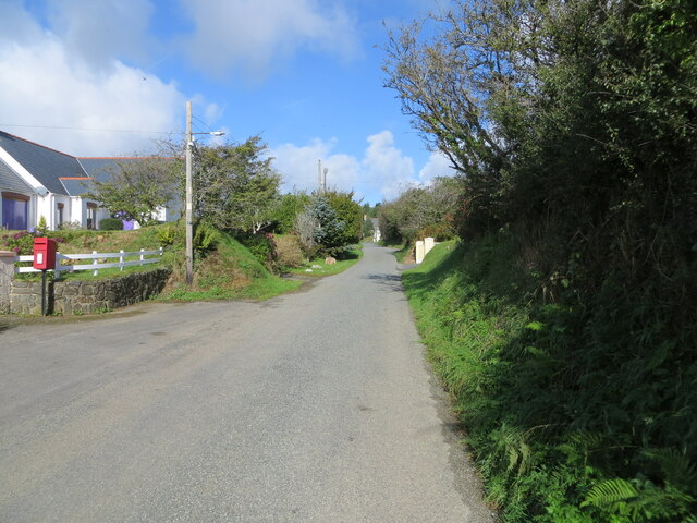
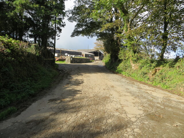
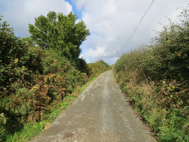
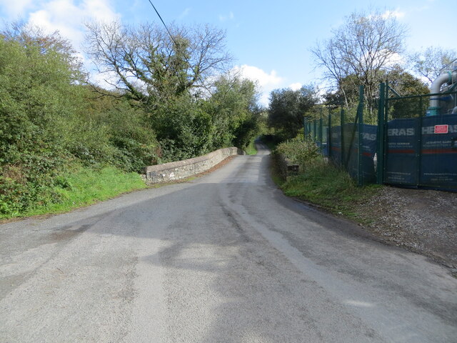
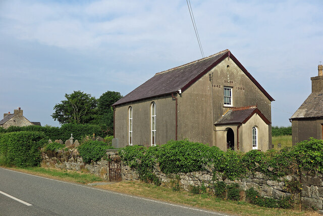
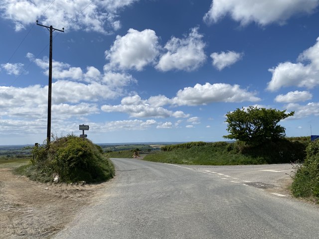
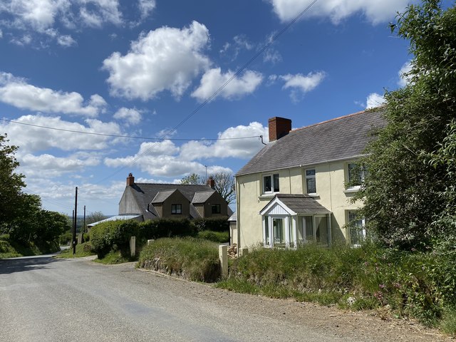
Allt y Gold Images

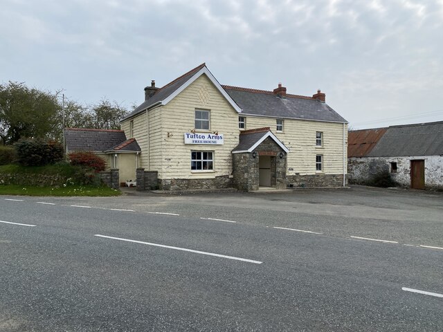
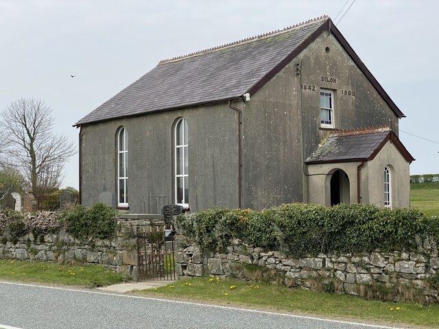
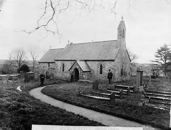
Images are sourced within 2km of 51.912026/-4.8385548 or Grid Reference SN0427. Thanks to Geograph Open Source API. All images are credited.

Earth banked and tree-lined minor road near Garden Looking eastward.
Earth banked and tree-lined minor road near Garden
Looking eastward.
Minor road in Tufton Looking north-westward.
Minor road in Tufton
Looking north-westward.
Minor road at Tymeini Farm, Henry's Moat Looking westward.
Minor road at Tymeini Farm, Henry's Moat
Looking westward.
Hedge enclosed rack and footpath to St Bernard's Well Looking north-westward.
Hedge enclosed rack and footpath to St Bernard's Well
Looking north-westward.
Road and Bridge crossing Afon Syfynwy Looking eastward from beside Rhyd Fawr Water Works.
Road and Bridge crossing Afon Syfynwy
Looking eastward from beside Rhyd Fawr Water Works.
Siloh Congregational Chapel, Tufton The Welsh form is Capel Seilo. This served as the Congregational chapel for Henry's Moat.
Siloh Congregational Chapel, Tufton
The Welsh form is Capel Seilo. This served as the Congregational chapel for Henry's Moat.
Farmland near Woodstock There is a minor road cutting across and in the far distance is a VHF transmitter
Farmland near Woodstock
There is a minor road cutting across and in the far distance is a VHF transmitter
Junction Near Poll Tax Just outside Woodstock near the Preseli Hills
Junction Near Poll Tax
Just outside Woodstock near the Preseli Hills
Ordnance Survey Cut Mark This OS cut mark can be found on the south parapet of Rhyd Fawr Bridge. It marks a point 160.157m above mean sea level.
Ordnance Survey Cut Mark
This OS cut mark can be found on the south parapet of Rhyd Fawr Bridge. It marks a point 160.157m above mean sea level.
Ordnance Survey Rivet This OS rivet can be found on the slate footbridge. It marks a point 110.033m above mean sea level.
Ordnance Survey Rivet
This OS rivet can be found on the slate footbridge. It marks a point 110.033m above mean sea level.
Boundary Stone This BS can be found on Farthing's Hook Bridge. The OS rivet on the BS marks a point 107.905m above mean sea level.
Boundary Stone
This BS can be found on Farthing's Hook Bridge. The OS rivet on the BS marks a point 107.905m above mean sea level.
The Tufton Arms
The Tufton Arms
Road junction Turning to Tufton off the road to Clarbeston Road.
Road junction
Turning to Tufton off the road to Clarbeston Road.
Pen lan Houses on the road from Maenclochog to Clarbeston Road.
Pen lan
Houses on the road from Maenclochog to Clarbeston Road.
Fence and hedge Boundary fence and hedge alongside B4329
Fence and hedge
Boundary fence and hedge alongside B4329
Tufton Arms Public house in the village of Tufton.
Tufton Arms
Public house in the village of Tufton.
Siloh Chapel Siloh Chapel is a Calvinistic Methodist chapel in the Union of Welsh Independent churches.  It was founded in 1842, registered to solemnise marriages in 1844, and restored in 1900.
Siloh Chapel
Siloh Chapel is a Calvinistic Methodist chapel in the Union of Welsh Independent churches. It was founded in 1842, registered to solemnise marriages in 1844, and restored in 1900.
Cronfa Ddwr Llys-y-frân / Llys-y-frân Reservoir Llwybr ar lan Cronfa Ddwr Llys-y-frân.

A path on the banks of Llys-y-frân Reservoir (trans. crow court).
Cronfa Ddwr Llys-y-frân / Llys-y-frân Reservoir
Llwybr ar lan Cronfa Ddwr Llys-y-frân. A path on the banks of Llys-y-frân Reservoir (trans. crow court).
Show me another place!

Allt y Gold is located at Grid Ref: SN0427 (Lat: 51.912026, Lng: -4.8385548)

Unitary Authority: Pembrokeshire

Police Authority: Dyfed Powys

What 3 Words

///straws.worms.baker. Near Ambleston, Pembrokeshire

Related Wikis

Henry's Moat

Henry's Moat is a hamlet and parish in Pembrokeshire, Wales, in the community of Puncheston. It is 7 miles (11 km) southeast of Fishguard and 9 miles...

Tufton, Pembrokeshire

Tufton is a crossroads hamlet in the parish of Henry's Moat in Pembrokeshire, Wales, on the B4329, a road between Eglwyswrw and Haverfordwest across the...

Greenway, Pembrokeshire

Greenway, also referred to as New Inn, is a hamlet on the southern slopes of the Preseli Mountains in Pembrokeshire, Wales. It sits on the crossroads between...

Haverfordwest transmitting station

The Haverfordwest transmitting station is a broadcasting and telecommunications facility located at Woodstock about 13 km (8 mi) to the north east of the...

Nearby Amenities

Located within 500m of 51.912026,-4.8385548
Ford: yes
Lat/Long: 51.9125333/-4.8438304
The data included in this document is from www.openstreetmap.org. The data is made available under ODbL.

Have you been to Allt y Gold?

Leave your review of Allt y Gold below (or comments, questions and feedback).