Brist Coed

Wood, Forest in Pembrokeshire

Wales

Brist Coed

Minor road in Tufton Looking north-westward.
Minor road in Tufton Credit: Peter Wood

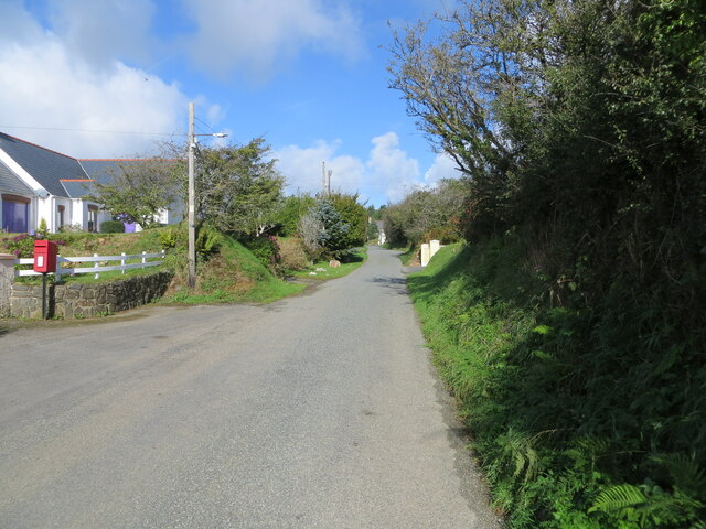
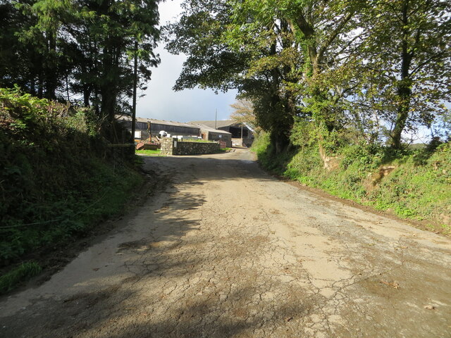
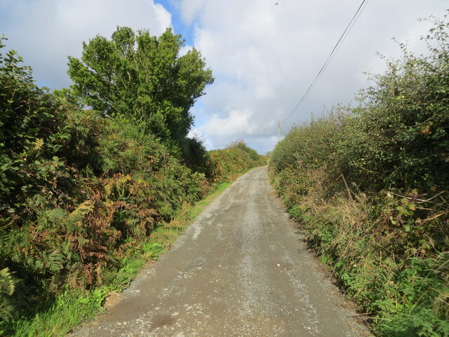
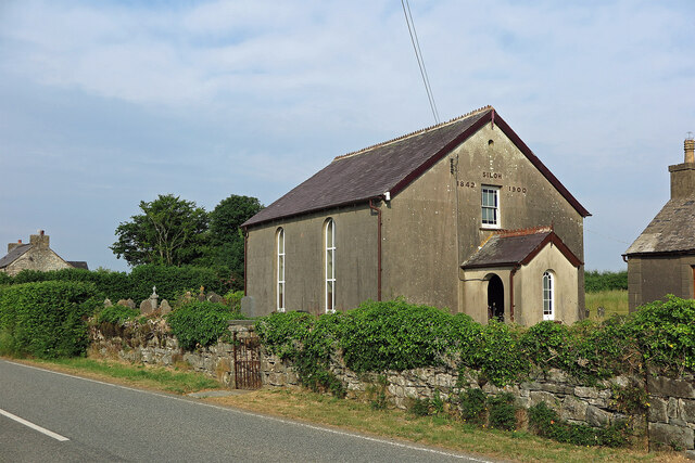
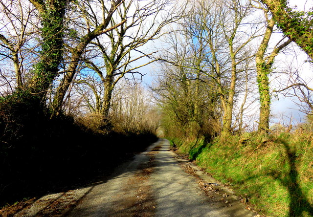
Brist Coed is a dense, lush forest located in Pembrokeshire, Wales. Covering an area of approximately 200 hectares, the forest is characterized by a mix of deciduous and coniferous trees, including oak, beech, and pine. The forest is home to a diverse range of flora and fauna, making it a popular destination for nature lovers and outdoor enthusiasts.

Trails wind through the forest, providing opportunities for hiking, biking, and birdwatching. Visitors can expect to see a variety of wildlife, including deer, squirrels, and a wide array of bird species. The tranquil atmosphere of Brist Coed offers a peaceful escape from the hustle and bustle of everyday life.

The forest is managed sustainably, with conservation efforts in place to protect its natural beauty and biodiversity. Educational programs and guided tours are available for those interested in learning more about the ecosystem of Brist Coed and the importance of preserving it for future generations to enjoy. Overall, Brist Coed is a picturesque and serene destination for anyone looking to connect with nature in the stunning surroundings of Pembrokeshire.

If you have any feedback on the listing, please let us know in the comments section below.
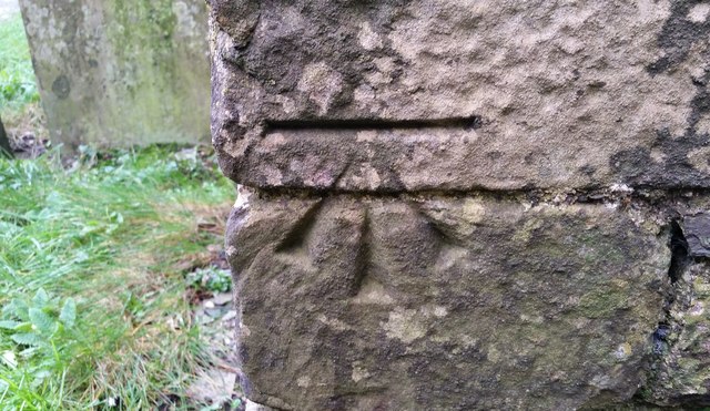
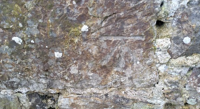
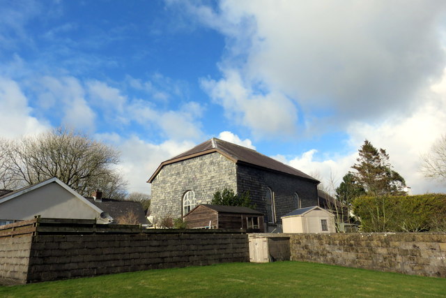
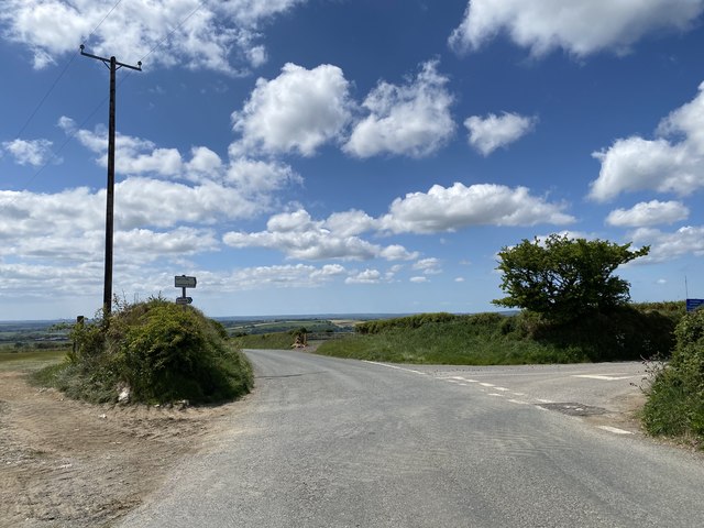
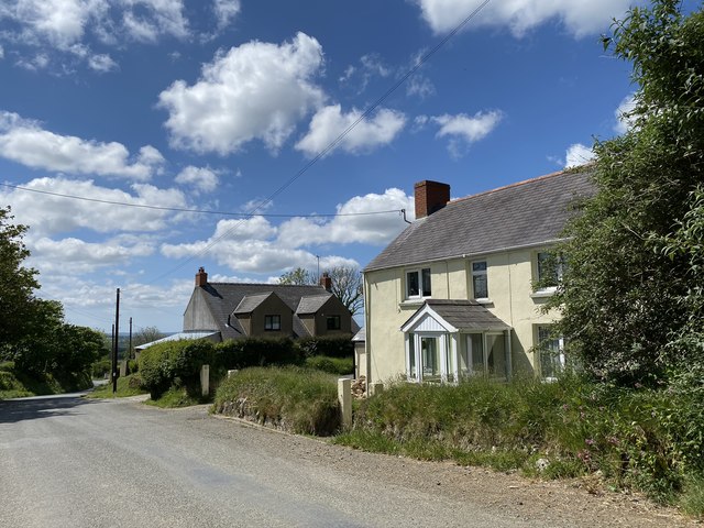
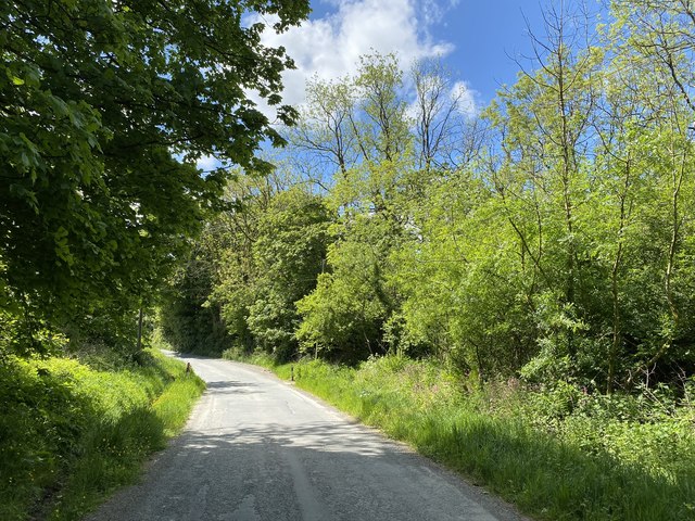
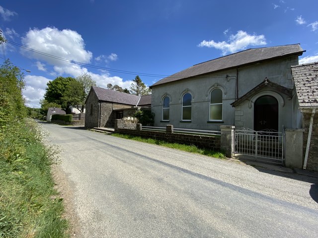
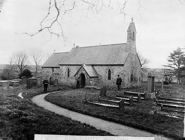
Brist Coed Images

Images are sourced within 2km of 51.903919/-4.8379706 or Grid Reference SN0426. Thanks to Geograph Open Source API. All images are credited.

Minor road in Tufton Looking north-westward.
Minor road in Tufton
Looking north-westward.
Minor road at Tymeini Farm, Henry's Moat Looking westward.
Minor road at Tymeini Farm, Henry's Moat
Looking westward.
Hedge enclosed rack and footpath to St Bernard's Well Looking north-westward.
Hedge enclosed rack and footpath to St Bernard's Well
Looking north-westward.
Siloh Congregational Chapel, Tufton The Welsh form is Capel Seilo. This served as the Congregational chapel for Henry's Moat.
Siloh Congregational Chapel, Tufton
The Welsh form is Capel Seilo. This served as the Congregational chapel for Henry's Moat.
Farmland near Woodstock There is a minor road cutting across and in the far distance is a VHF transmitter
Farmland near Woodstock
There is a minor road cutting across and in the far distance is a VHF transmitter
Junction Near Poll Tax Just outside Woodstock near the Preseli Hills
Junction Near Poll Tax
Just outside Woodstock near the Preseli Hills
Ordnance Survey Cut Mark This OS cut mark can be found on the East face of buttress on the south face of St Nicholas Church. It marks a point 157.795m above mean sea level.
Ordnance Survey Cut Mark
This OS cut mark can be found on the East face of buttress on the south face of St Nicholas Church. It marks a point 157.795m above mean sea level.
Ordnance Survey Rivet This OS rivet can be found on the slate footbridge. It marks a point 110.033m above mean sea level.
Ordnance Survey Rivet
This OS rivet can be found on the slate footbridge. It marks a point 110.033m above mean sea level.
Boundary Stone This BS can be found on Farthing's Hook Bridge. The OS rivet on the BS marks a point 107.905m above mean sea level.
Boundary Stone
This BS can be found on Farthing's Hook Bridge. The OS rivet on the BS marks a point 107.905m above mean sea level.
Ordnance Survey Cut Mark This OS cut mark can be found on the north angle of the old school. It marks a point 130.963m above mean sea level.
Ordnance Survey Cut Mark
This OS cut mark can be found on the north angle of the old school. It marks a point 130.963m above mean sea level.
Capel Gwastad Chapel This view from the back complements Phillip Halling's shot from the road. The chapel, which was built in 1836, appears to be slate-hung on all sides but as there is a property jammed right up it wasn't possible to get closer. I was informed that the chapel is still used on a monthly basis and for funerals for its presumably ageing congregation in this very rural area, once a heartland of the Welsh Revival.
The chapel is distinguished by its association with local boy William 'Penfro' Rowlands composer of the famous hymn tune Blaenwern. Details about him can be found here <span class="nowrap"><a title="http://daibach-welldigger.blogspot.com/2014/06/the-best-known-revival-hymn-tune.html" rel="nofollow ugc noopener" href="http://daibach-welldigger.blogspot.com/2014/06/the-best-known-revival-hymn-tune.html">Link</a><img style="margin-left:2px;" alt="External link" title="External link - shift click to open in new window" src="https://s1.geograph.org.uk/img/external.png" width="10" height="10"/></span>
Capel Gwastad Chapel
This view from the back complements Phillip Halling's shot from the road. The chapel, which was built in 1836, appears to be slate-hung on all sides but as there is a property jammed right up it wasn't possible to get closer. I was informed that the chapel is still used on a monthly basis and for funerals for its presumably ageing congregation in this very rural area, once a heartland of the Welsh Revival. The chapel is distinguished by its association with local boy William 'Penfro' Rowlands composer of the famous hymn tune Blaenwern. Details about him can be found here LinkExternal link
Looking north from Gwastad Country lane on a sunny afternoon in February, running due north from Capel Gwastad.
Looking north from Gwastad
Country lane on a sunny afternoon in February, running due north from Capel Gwastad.
The Tufton Arms
The Tufton Arms
Farm gate Gate on to farmland at Penlan.
Farm gate
Gate on to farmland at Penlan.
Road junction Turning to Tufton off the road to Clarbeston Road.
Road junction
Turning to Tufton off the road to Clarbeston Road.
Pen lan Houses on the road from Maenclochog to Clarbeston Road.
Pen lan
Houses on the road from Maenclochog to Clarbeston Road.
Woodland road Road through woodland near Parcyreithin.
Woodland road
Road through woodland near Parcyreithin.
Gwastad Chapel Gwastad Calvinistic Methodist Chapel.
Gwastad Chapel
Gwastad Calvinistic Methodist Chapel.
Show me another place!

Brist Coed is located at Grid Ref: SN0426 (Lat: 51.903919, Lng: -4.8379706)

Unitary Authority: Pembrokeshire

Police Authority: Dyfed Powys

What 3 Words

///bulky.ready.sizing. Near Ambleston, Pembrokeshire

Related Wikis

Henry's Moat

Henry's Moat is a hamlet and parish in Pembrokeshire, Wales, in the community of Puncheston. It is 7 miles (11 km) southeast of Fishguard and 9 miles...

Tufton, Pembrokeshire

Tufton is a crossroads hamlet in the parish of Henry's Moat in Pembrokeshire, Wales, on the B4329, a road between Eglwyswrw and Haverfordwest across the...

Haverfordwest transmitting station

The Haverfordwest transmitting station is a broadcasting and telecommunications facility located at Woodstock about 13 km (8 mi) to the north east of the...

102.5 Radio Pembrokeshire

Radio Pembrokeshire is an Independent Local Radio station that broadcasts to Pembrokeshire. It is owned and operated by Nation Broadcasting and broadcasts...

Nearby Amenities

Located within 500m of 51.903919,-4.8379706
The data included in this document is from www.openstreetmap.org. The data is made available under ODbL.

Have you been to Brist Coed?

Leave your review of Brist Coed below (or comments, questions and feedback).