Dalruscan Plantation
Wood, Forest in Dumfriesshire
Scotland
Dalruscan Plantation

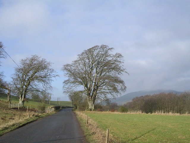
Dalruscan Plantation is a picturesque woodland located in the county of Dumfriesshire, Scotland. Spread across a vast area, this enchanting forest is known for its stunning natural beauty and diverse ecosystem. It is situated near the village of Dalruscan, adding to its charm and accessibility.
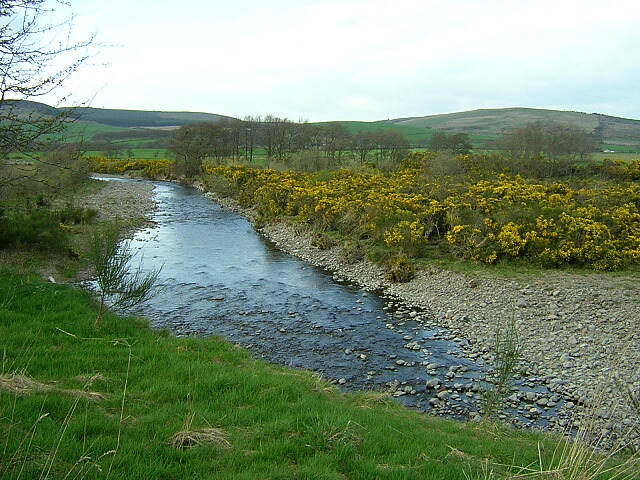
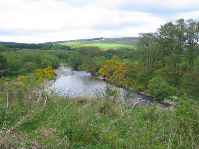
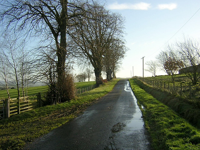
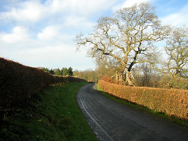
The plantation is composed of a rich variety of trees, including native species such as oak, beech, and birch. These towering giants create a dense canopy, casting dappled sunlight on the forest floor and providing a perfect habitat for a wide range of flora and fauna. The forest boasts an impressive array of wildflowers, ferns, and mosses, adding vibrant splashes of color to the landscape.
One of the distinguishing features of Dalruscan Plantation is its network of well-maintained walking trails. These paths wind through the forest, allowing visitors to explore its wonders at their own pace. Whether one chooses to take a leisurely stroll or embark on a more challenging hike, there are options available for all abilities.
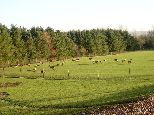
The plantation also offers various recreational activities for nature enthusiasts. Birdwatchers can spot numerous species of birds, including woodpeckers and owls, while wildlife enthusiasts may encounter deer, foxes, and squirrels amidst the trees. Additionally, Dalruscan Plantation is a popular destination for photographers and artists who seek inspiration from its captivating surroundings.
Overall, Dalruscan Plantation in Dumfriesshire is a haven for those seeking tranquility and natural beauty. Its lush woodlands, diverse wildlife, and well-maintained trails make it an ideal spot for outdoor exploration and appreciation of Scotland's stunning landscapes.
If you have any feedback on the listing, please let us know in the comments section below.
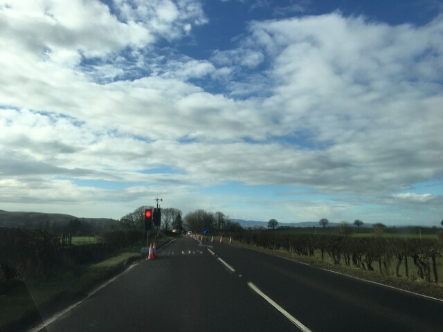
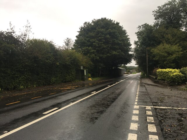
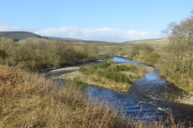
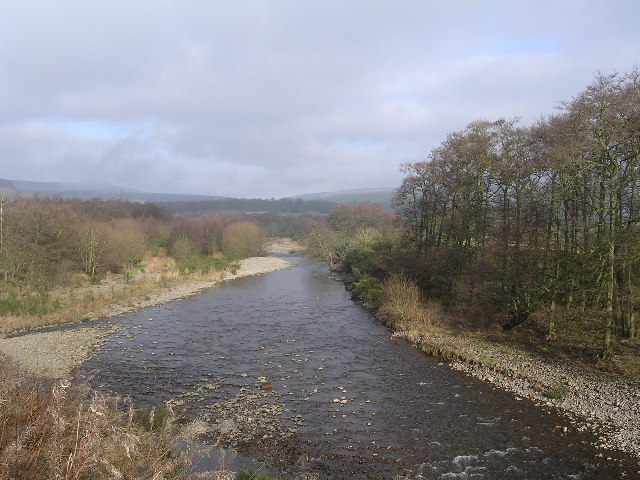
Dalruscan Plantation Images
Images are sourced within 2km of 55.1597/-3.5553581 or Grid Reference NY0186. Thanks to Geograph Open Source API. All images are credited.


Dalruscan Plantation is located at Grid Ref: NY0186 (Lat: 55.1597, Lng: -3.5553581)
Unitary Authority: Dumfries and Galloway
Police Authority: Dumfries and Galloway
What 3 Words
///handbag.menswear.village. Near Locharbriggs, Dumfries & Galloway
Nearby Locations
Related Wikis

Ae Bridgend
Ae Bridgend is a hamlet in the Scottish council area of Dumfries and Galloway next to the River Ae. It is located at an altitude of 96.9 meters above sea...

Parkgate, Dumfries and Galloway
Parkgate is a small village in Dumfries and Galloway, Scotland. The village centre is located just to the east of the A701 approximately 8 miles (13 km...
Shieldhill railway station
Shieldhill railway station was a station which served Shieldhill, in the Scottish county of Dumfries and Galloway. It was served by trains on a local line...

Amisfield
Amisfield is a village in Dumfries and Galloway, Scotland. It is located about 5 miles north of Dumfries and next to the A701 Dumfries to Edinburgh road...

Amisfield railway station
Amisfield railway station was a station which served Amisfield, in the Scottish county of Dumfries and Galloway. It was served by trains on a local line...

Dumfriesshire
Dumfriesshire or the County of Dumfries or Shire of Dumfries (Scottish Gaelic: Siorrachd Dhùn Phris) is a historic county and registration county in southern...
Ae, Dumfries and Galloway
Ae (pronounced ) is a village in Dumfries and Galloway, south west Scotland. The village is located on the edge of a 15,000-acre (61 km2) human-made conifer...
Tinwald, Dumfries and Galloway
Tinwald is a village in Dumfries and Galloway, south-west Scotland, lying a little north of Locharbriggs outside Dumfries. Tinwald is also the name of...
Nearby Amenities
Located within 500m of 55.1597,-3.5553581Have you been to Dalruscan Plantation?
Leave your review of Dalruscan Plantation below (or comments, questions and feedback).