Bickram Wood
Wood, Forest in Fife
Scotland
Bickram Wood

Bickram Wood, located in the region of Fife, Scotland, is a picturesque forest that enchants visitors with its natural beauty and tranquility. Spanning an area of approximately 100 hectares, this woodland is known for its diverse range of flora and fauna, making it a haven for nature enthusiasts and wildlife lovers.
The wood is predominantly composed of a mix of deciduous and coniferous trees, including oak, beech, birch, and pine, which create a rich tapestry of colors throughout the seasons. These towering trees provide a dense canopy, allowing dappled sunlight to filter through and creating a magical atmosphere within the forest.
Aside from its stunning vegetation, Bickram Wood is also home to a variety of wildlife. Visitors may be lucky enough to spot red squirrels, roe deer, and an array of bird species, including woodpeckers, owls, and thrushes. The forest floor is adorned with carpets of wildflowers and ferns, adding to the overall charm and biodiversity of the area.
The wood is crisscrossed with a network of well-maintained walking paths, allowing visitors to explore its beauty at their own pace. These paths wind through the woodland, leading to open clearings and picturesque viewpoints, where visitors can pause and admire the surrounding landscape.
Bickram Wood offers a peaceful retreat from the hustle and bustle of everyday life, inviting visitors to connect with nature and enjoy the serenity and natural wonders that this enchanting forest has to offer.
If you have any feedback on the listing, please let us know in the comments section below.
Bickram Wood Images
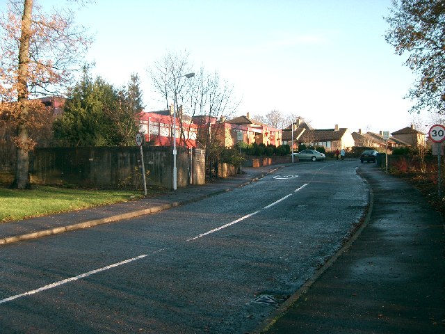
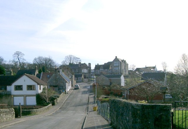
Images are sourced within 2km of 56.096661/-3.591241 or Grid Reference NT0190. Thanks to Geograph Open Source API. All images are credited.


Bickram Wood is located at Grid Ref: NT0190 (Lat: 56.096661, Lng: -3.591241)
Unitary Authority: Fife
Police Authority: Fife
What 3 Words
///swerves.computers.gambles. Near Oakley, Fife
Nearby Locations
Related Wikis
Blairhall
Blairhall is a village in West Fife, Scotland. It is situated 1.1 miles (1.77 km) west of Comrie, and 6.7 miles (10.783 km) west of Dunfermline. The village...

Comrie, Fife
Comrie ( locally or ); is a village in Fife, Scotland, located immediately west of the neighbouring village of Oakley, 6.2 miles (9.98 km) west of Dunfermline...
Oakley United F.C.
Oakley United Football Club are a Scottish football club based in Oakley, Fife. Formed in 1964, they play their home games at Blairwood Park. The club...
East Grange (Fife) railway station
East Grange railway station served the area of East Grange, Fife, Scotland, from 1850 to 1958 on the Stirling and Dunfermline Railway. == History == The...

Oakley (Fife) railway station
Oakley (Fife) railway station served the village of Oakley, Fife, Scotland from 1850 to 1986 on the Stirling and Dunfermline Railway. == History == The...
Saline, Fife
Saline is a village and parish in Fife, Scotland, situated 5 miles (8.0 km) to the north-west of Dunfermline. It lies in an elevated position on the western...

Steelend
Steelend is a former mining village in West Fife, Scotland, located on the B914 road approximately three-quarters of a mile east of the village of Saline...

Balgownie Wood
Balgownie Wood is a woodland in West Fife, Scotland, south of the village of Blairhall and east of Balgownie Mains. The woods used to belong to nearby...
Nearby Amenities
Located within 500m of 56.096661,-3.591241Have you been to Bickram Wood?
Leave your review of Bickram Wood below (or comments, questions and feedback).