Ae Bridgend
Settlement in Dumfriesshire
Scotland
Ae Bridgend

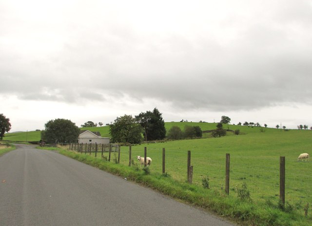
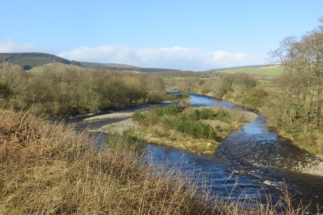
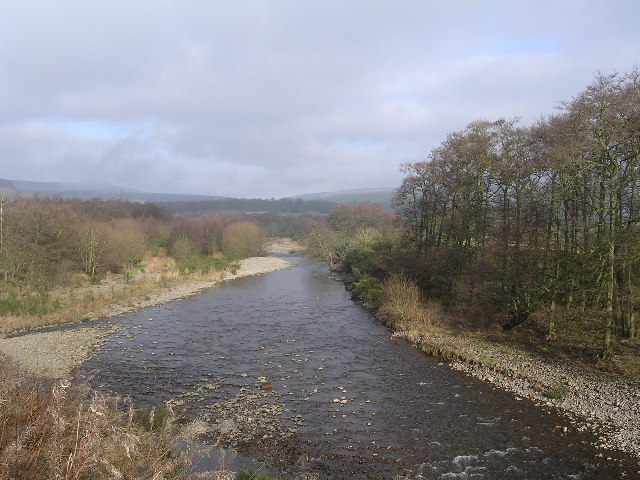
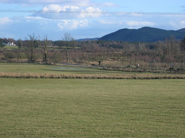
Ae Bridgend is a small village located in Dumfriesshire, which is situated in the southern part of Scotland. It is nestled in a picturesque setting, surrounded by rolling hills and lush green landscapes. The village is named after the River Ae, which flows through the area, adding to its natural charm.
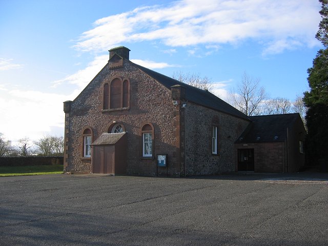
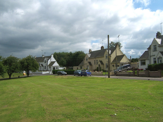
With a population of around 150 inhabitants, Ae Bridgend maintains a tight-knit community feel. The village is predominantly residential, with a few small businesses and amenities to cater to the locals. The traditional architecture of the houses adds to the village's charm, with many of them featuring stone exteriors and thatched roofs.
Nature enthusiasts are drawn to Ae Bridgend due to its proximity to the Galloway Forest Park. This expansive park offers a range of outdoor activities, including hiking, mountain biking, and wildlife spotting. The area is also known for its dark skies, making it a popular destination for stargazing.
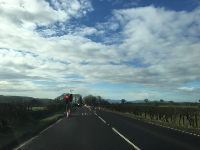
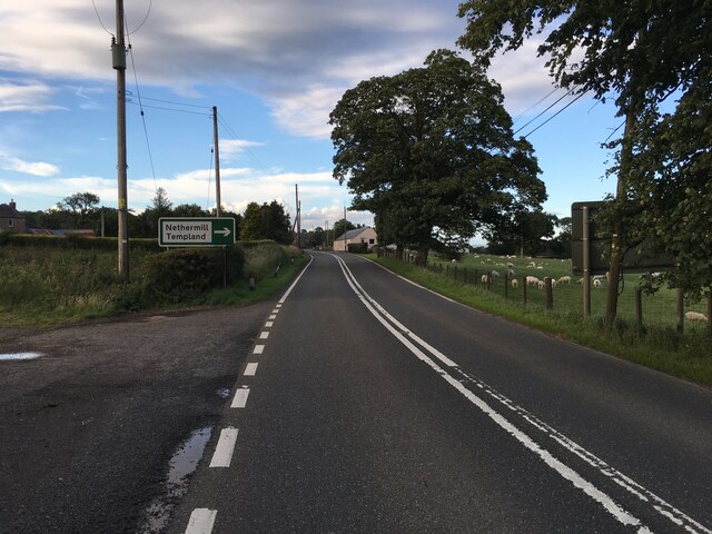
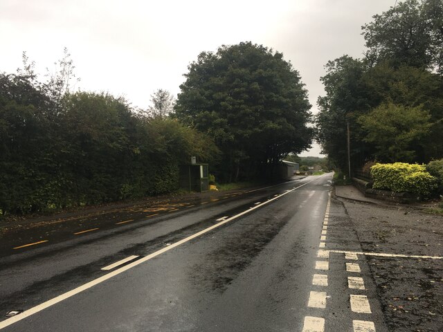
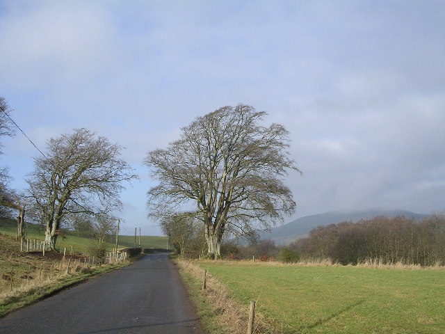
Ae Bridgend is well-connected to the surrounding areas by road, with the A701 passing through the village. This provides easy access to the nearby towns of Dumfries and Moffat, where residents can find a wider range of amenities and services.
Overall, Ae Bridgend offers a tranquil and idyllic setting for those seeking a quieter pace of life amidst stunning natural beauty.
If you have any feedback on the listing, please let us know in the comments section below.
Ae Bridgend Images
Images are sourced within 2km of 55.165276/-3.5543506 or Grid Reference NY0186. Thanks to Geograph Open Source API. All images are credited.


Ae Bridgend is located at Grid Ref: NY0186 (Lat: 55.165276, Lng: -3.5543506)
Unitary Authority: Dumfries and Galloway
Police Authority: Dumfries and Galloway
What 3 Words
///claw.missions.shutting. Near Locharbriggs, Dumfries & Galloway
Nearby Locations
Related Wikis

Ae Bridgend
Ae Bridgend is a hamlet in the Scottish council area of Dumfries and Galloway next to the River Ae. It is located at an altitude of 96.9 meters above sea...

Parkgate, Dumfries and Galloway
Parkgate is a small village in Dumfries and Galloway, Scotland. The village centre is located just to the east of the A701 approximately 8 miles (13 km...
Shieldhill railway station
Shieldhill railway station was a station which served Shieldhill, in the Scottish county of Dumfries and Galloway. It was served by trains on a local line...

Dumfriesshire
Dumfriesshire or the County of Dumfries or Shire of Dumfries (Scottish Gaelic: Siorrachd Dhùn Phris) is a historic county and registration county in southern...
Ae, Dumfries and Galloway
Ae (pronounced ) is a village in Dumfries and Galloway, south west Scotland. The village is located on the edge of a 15,000-acre (61 km2) human-made conifer...

Amisfield
Amisfield is a village in Dumfries and Galloway, Scotland. It is located about 5 miles north of Dumfries and next to the A701 Dumfries to Edinburgh road...

Amisfield railway station
Amisfield railway station was a station which served Amisfield, in the Scottish county of Dumfries and Galloway. It was served by trains on a local line...
Wallace's House
Wallace's House is an earthen rampart, located near Lochmaben, Scotland, that is associated with William Wallace. The promontory fort is a scheduled item...
Nearby Amenities
Located within 500m of 55.165276,-3.5543506Have you been to Ae Bridgend?
Leave your review of Ae Bridgend below (or comments, questions and feedback).