Castle Caereinion
Settlement in Montgomeryshire
Wales
Castle Caereinion
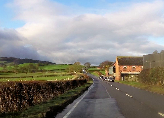
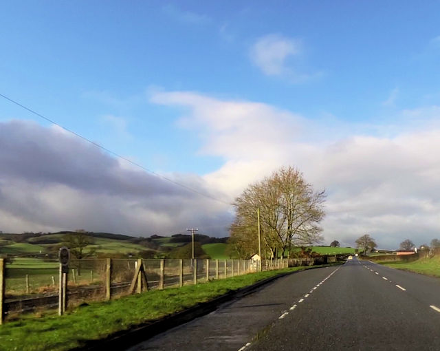
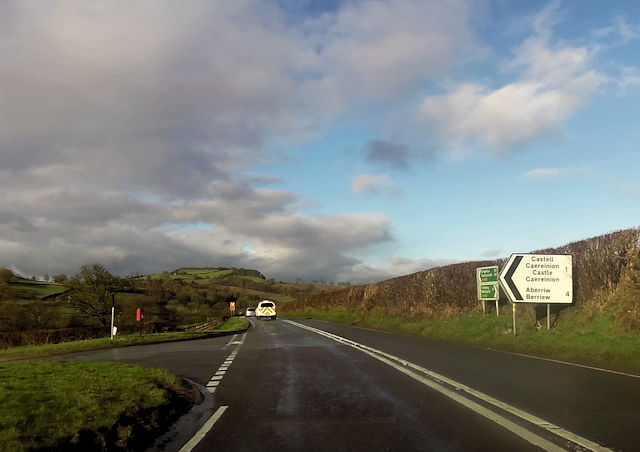
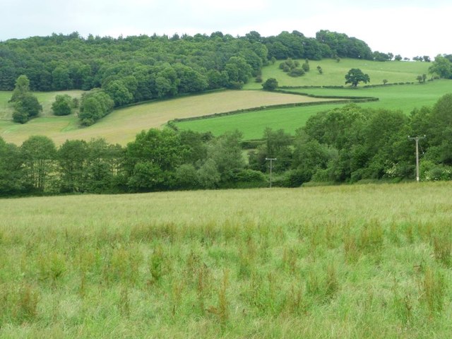
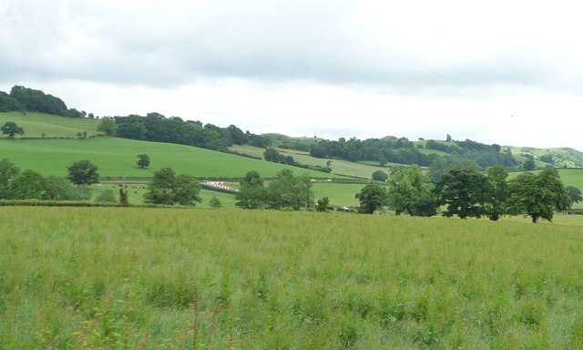
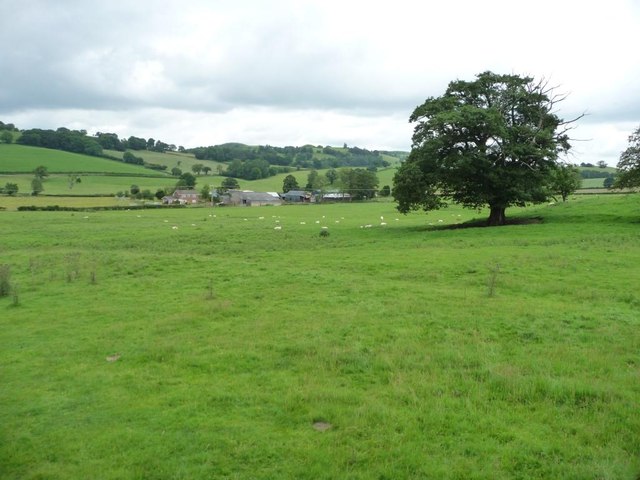
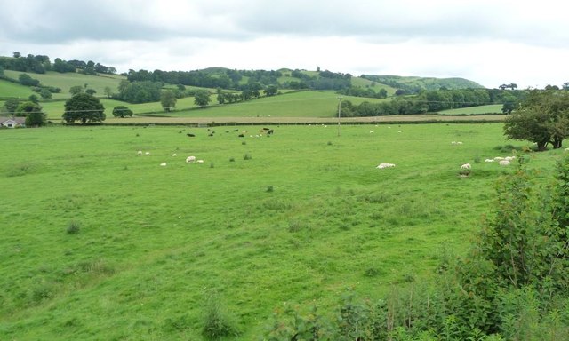
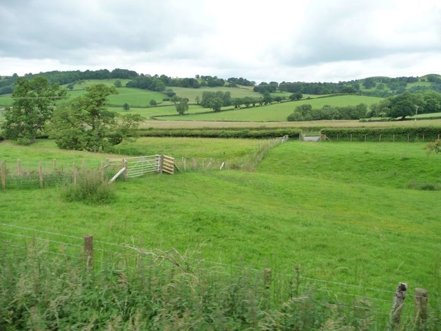
Castle Caereinion is a small village located in Montgomeryshire, Wales. It is known for its picturesque surroundings and rich history. The village is home to a historic church, St. Garmon's Church, which dates back to the 13th century and is a fine example of medieval architecture.
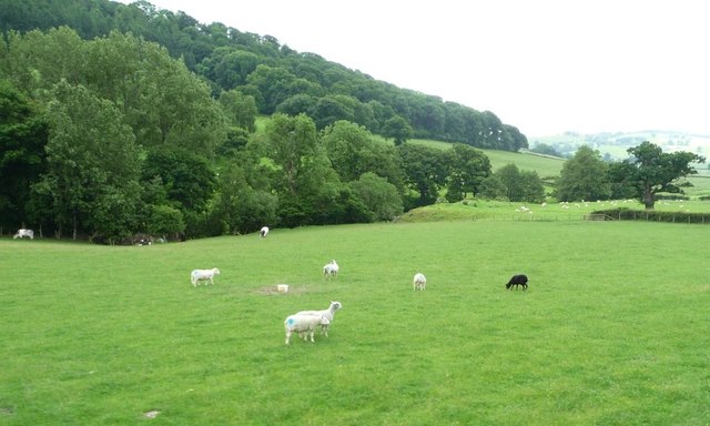
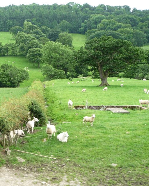
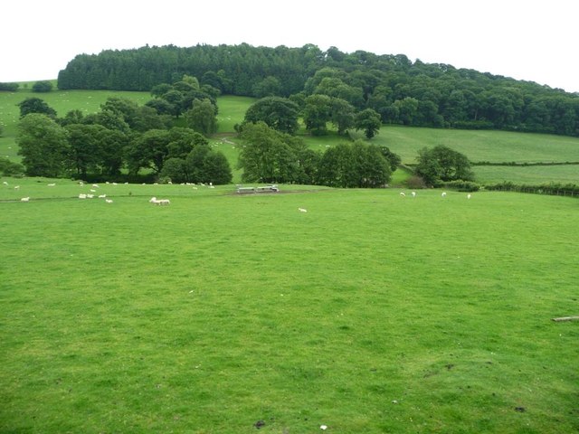
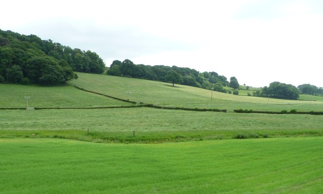
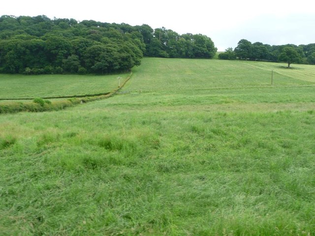
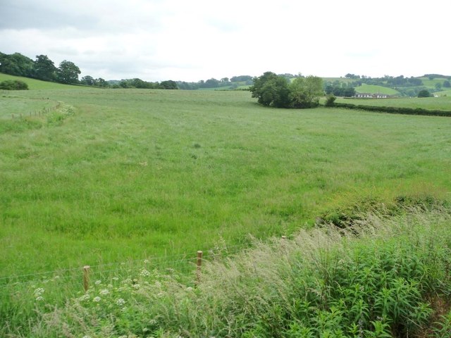
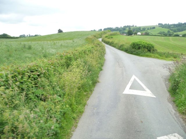
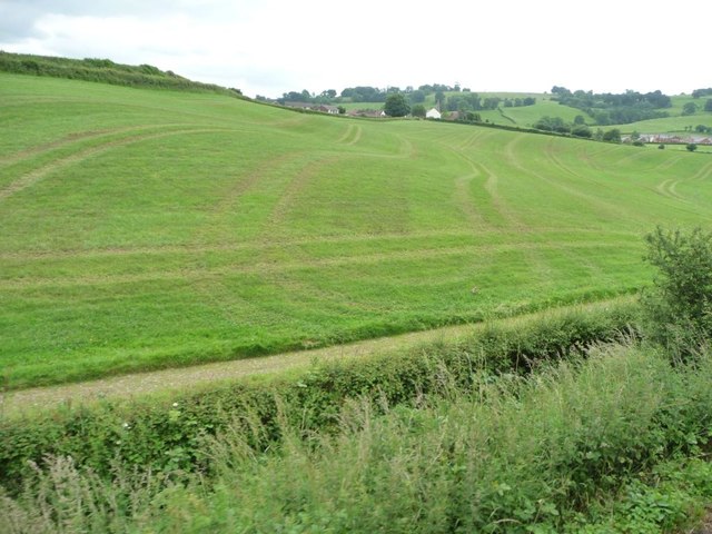
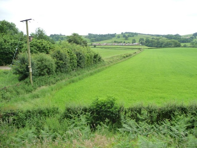
The village also boasts a charming railway station, which is a stop on the Welshpool and Llanfair Light Railway, a popular tourist attraction that offers scenic rides through the countryside. Castle Caereinion is surrounded by rolling hills and lush green fields, making it an ideal destination for outdoor enthusiasts.
The village is named after a motte and bailey castle that once stood in the area, although little remains of the castle today. Despite its small size, Castle Caereinion has a strong sense of community and hosts a variety of events and activities throughout the year, including a summer fete and a Christmas market.
Overall, Castle Caereinion is a quaint and historic village that offers visitors a glimpse into the past and a peaceful retreat in the beautiful Welsh countryside.
If you have any feedback on the listing, please let us know in the comments section below.
Castle Caereinion Images
Images are sourced within 2km of 52.641057/-3.237154 or Grid Reference SJ1605. Thanks to Geograph Open Source API. All images are credited.

Castle Caereinion is located at Grid Ref: SJ1605 (Lat: 52.641057, Lng: -3.237154)
Unitary Authority: Powys
Police Authority: Dyfed Powys
Also known as: Castell Caereinion
What 3 Words
///neater.learn.appointed. Near Llanfair Caereinion, Powys
Nearby Locations
Related Wikis

Castle Caereinion railway station
Castle Caereinion railway station is a railway station on the 2 ft 6 in (762 mm) narrow gauge Welshpool and Llanfair Light Railway in Mid Wales. It serves...

Castle Caereinion
Castle Caereinion (Welsh: Castell Caereinion) is a small village and community in Montgomeryshire, Powys, Wales upon the River Banwy, around 8 miles west...
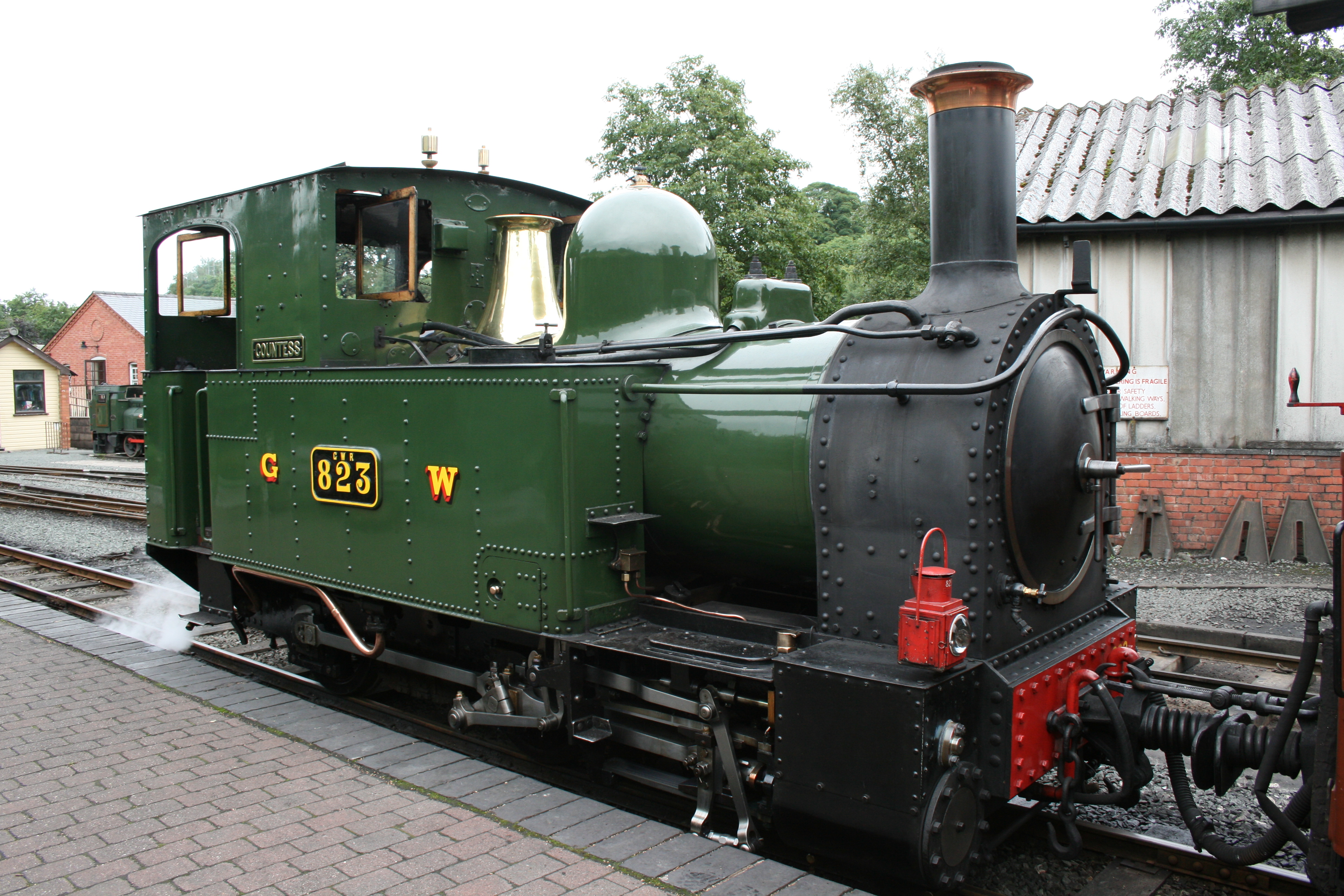
Welshpool and Llanfair Light Railway
The Welshpool and Llanfair Light Railway (W&LLR) (Welsh: Rheilffordd y Trallwng a Llanfair Caereinion) is a 2 ft 6 in (762 mm) narrow gauge heritage railway...
Tŷ Mawr, Castle Caereinion
Tŷ Mawr is a Grade I-listed timber framed house in the township of Trefnant in the historic parish of Castle Caereinion, Montgomeryshire, Wales. Originally...
Nearby Amenities
Located within 500m of 52.641057,-3.237154Have you been to Castle Caereinion?
Leave your review of Castle Caereinion below (or comments, questions and feedback).