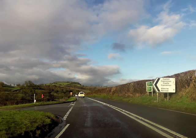
Castell Caereinion
Settlement in Montgomeryshire
Wales
Castell Caereinion
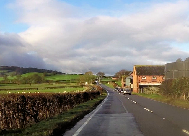
Castell Caereinion is a quaint village located in the county of Montgomeryshire, Wales. Situated in the picturesque Welsh countryside, it boasts a population of around 400 residents. The village is nestled along the banks of the River Banwy, offering stunning views and a peaceful ambiance.
The history of Castell Caereinion dates back centuries, with evidence of human settlement in the area since the Iron Age. The village derives its name from the castle that once stood here, although only ruins remain today. The castle was built in the 13th century and played a significant role in the region's medieval history.
Despite its small size, Castell Caereinion has a close-knit community and a range of amenities to cater to its residents. The village has a primary school, a village hall, and a charming parish church, which adds to its traditional charm. Additionally, there is a local pub that serves as a social hub for both residents and visitors.
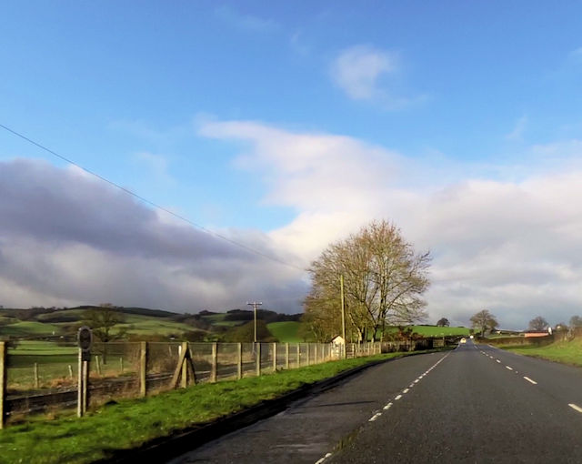
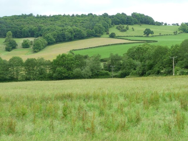
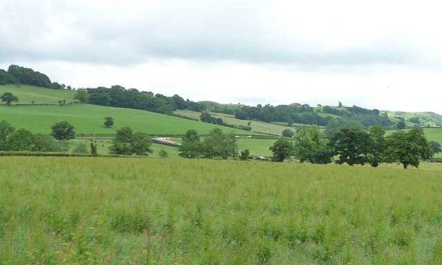
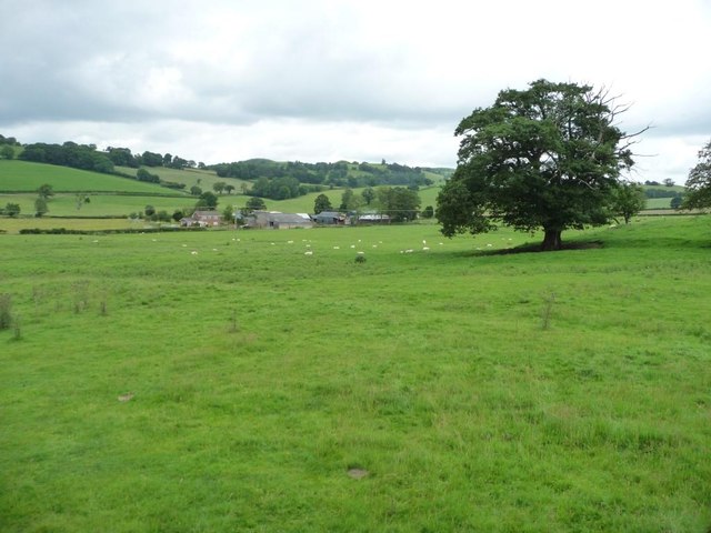
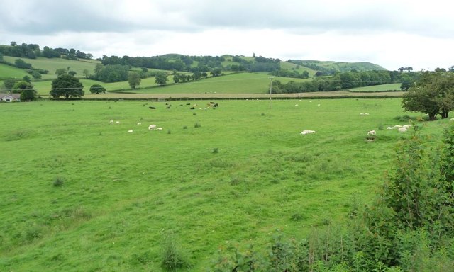
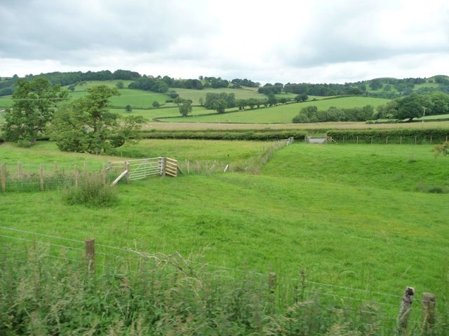
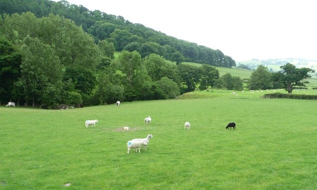
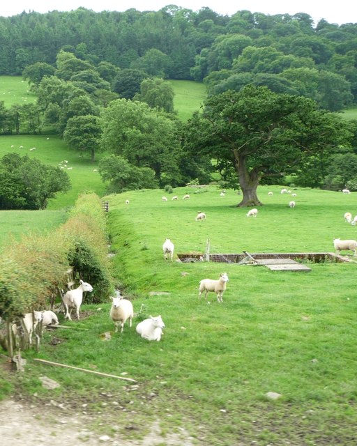
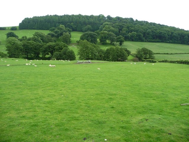
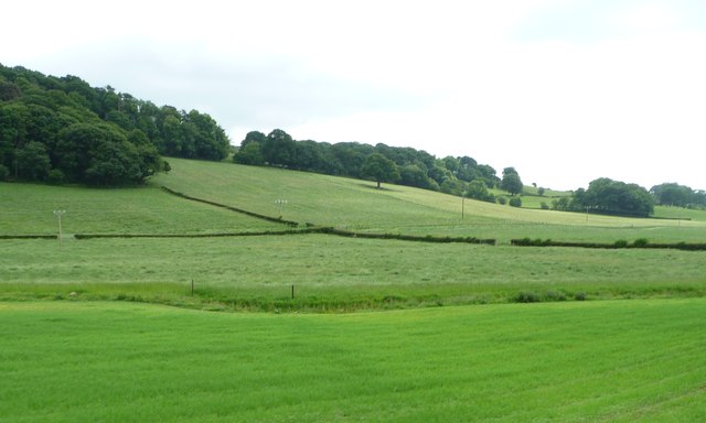
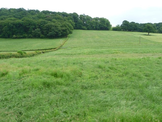
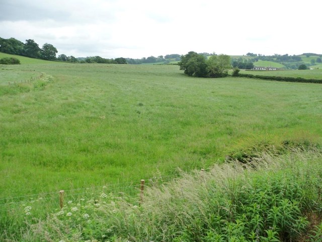
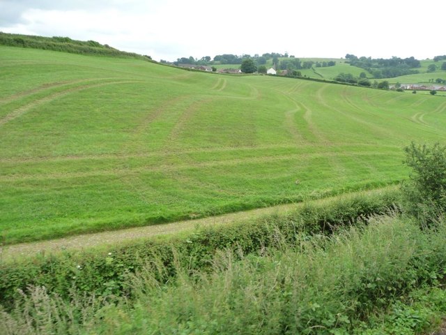
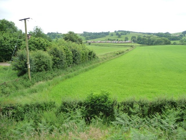
Surrounded by rolling hills and lush green fields, Castell Caereinion is a haven for nature lovers and outdoor enthusiasts. The area offers numerous walking trails and cycling routes, allowing visitors to explore the breathtaking landscapes and enjoy the tranquility of the countryside.
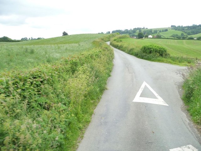
While Castell Caereinion may be a quiet village, it is well-connected to neighboring towns and cities. The village is easily accessible by road and is around 10 miles away from Welshpool, where more extensive amenities and transportation links can be found.
Overall, Castell Caereinion is a charming village with a rich history and stunning natural beauty, making it a delightful destination for those seeking a peaceful and idyllic Welsh experience.
If you have any feedback on the listing, please let us know in the comments section below.
Castell Caereinion Images
Images are sourced within 2km of 52.641057/-3.237154 or Grid Reference SJ1605. Thanks to Geograph Open Source API. All images are credited.
Castell Caereinion is located at Grid Ref: SJ1605 (Lat: 52.641057, Lng: -3.237154)
Unitary Authority: Powys
Police Authority: Dyfed Powys
Also known as: Castle Caereinion
What 3 Words
///neater.learn.appointed. Near Llanfair Caereinion, Powys
Nearby Locations
Related Wikis

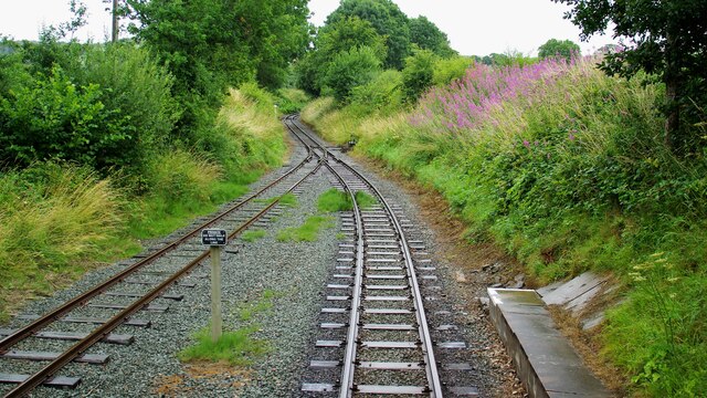
Castle Caereinion railway station
Castle Caereinion railway station is a railway station on the 2 ft 6 in (762 mm) narrow gauge Welshpool and Llanfair Light Railway in Mid Wales. It serves...

Castle Caereinion
Castle Caereinion (Welsh: Castell Caereinion) is a small village and community in Montgomeryshire, Powys, Wales upon the River Banwy, around 8 miles west...
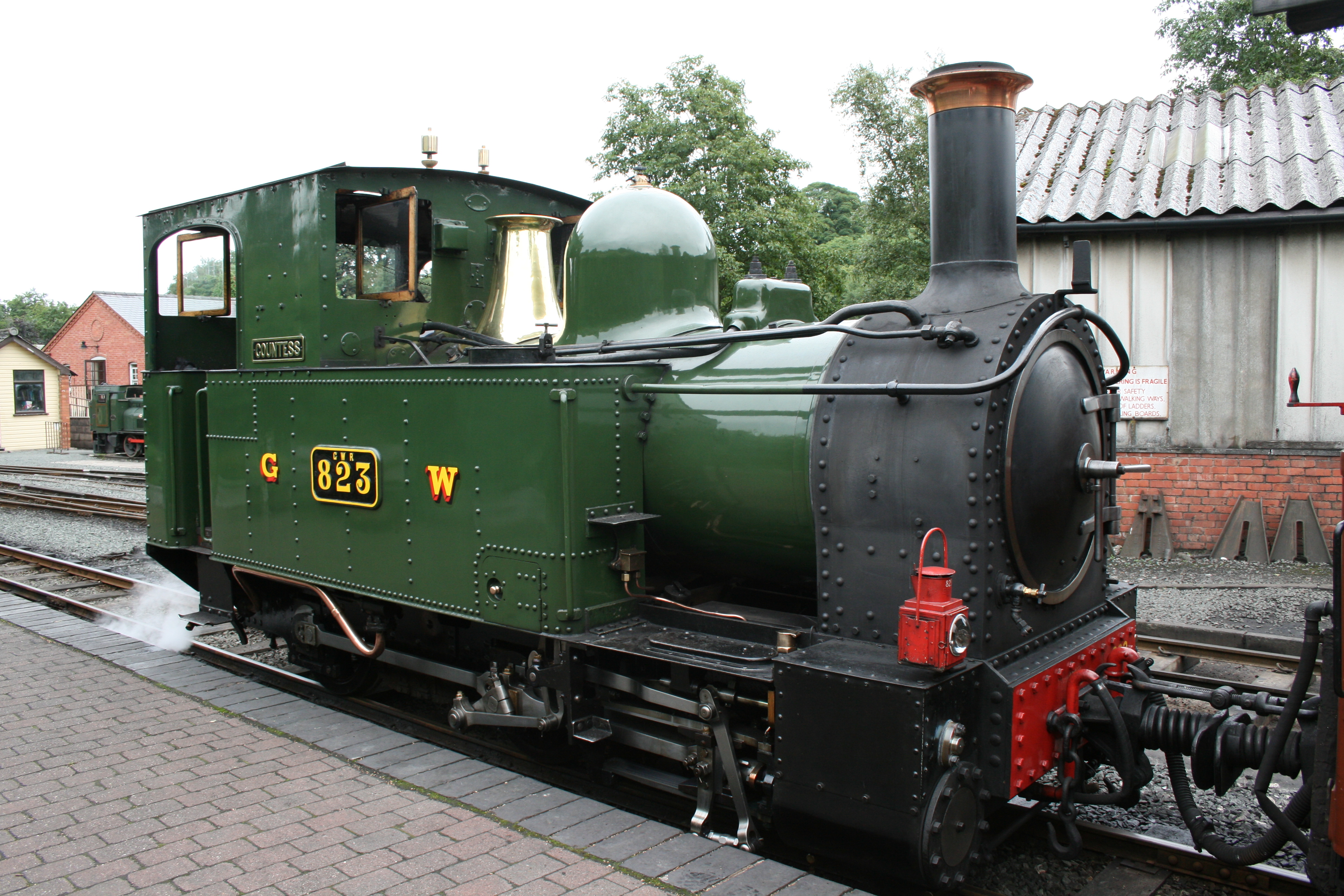
Welshpool and Llanfair Light Railway
The Welshpool and Llanfair Light Railway (W&LLR) (Welsh: Rheilffordd y Trallwng a Llanfair Caereinion) is a 2 ft 6 in (762 mm) narrow gauge heritage railway...
Tŷ Mawr, Castle Caereinion
Tŷ Mawr is a Grade I-listed timber framed house in the township of Trefnant in the historic parish of Castle Caereinion, Montgomeryshire, Wales. Originally...
Nearby Amenities
Located within 500m of 52.641057,-3.237154Have you been to Castell Caereinion?
Leave your review of Castell Caereinion below (or comments, questions and feedback).