Burnhead Wood

Wood, Forest in Lanarkshire

Scotland

Burnhead Wood

Farm buildings, Chesterhall Park Farm
Farm buildings, Chesterhall Park Farm Credit: JThomas

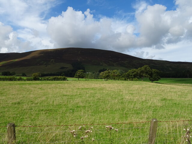
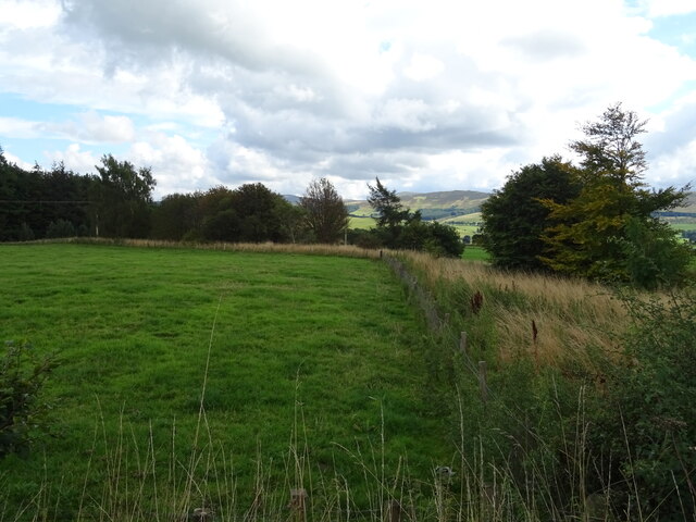
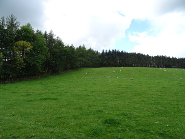
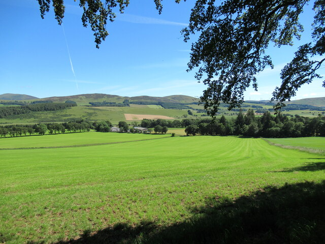
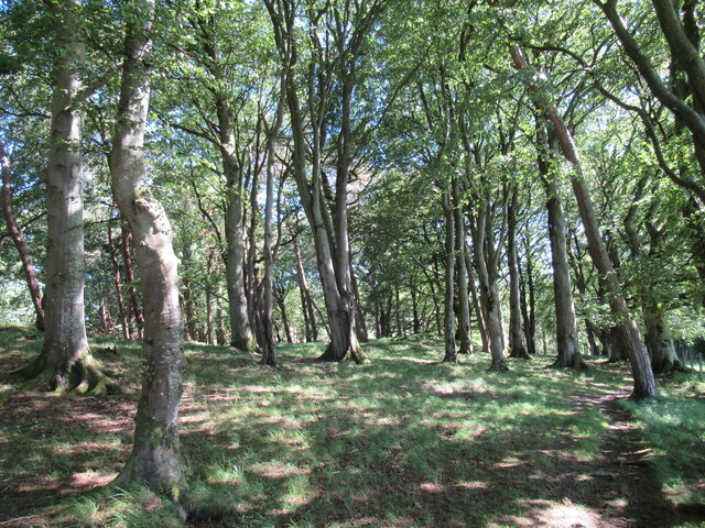
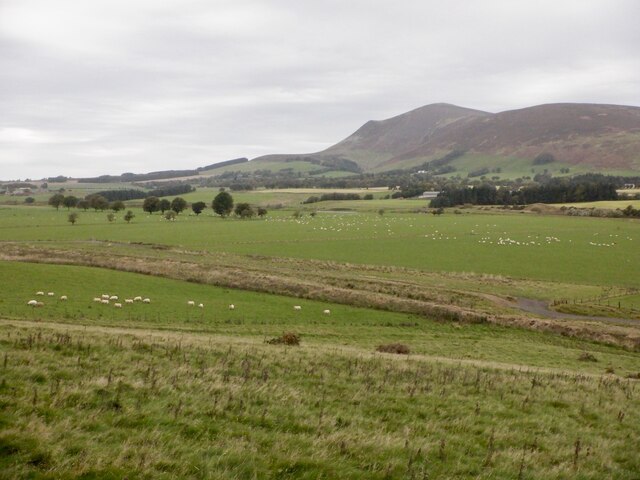
Burnhead Wood is a picturesque woodland located in the county of Lanarkshire, Scotland. Covering an area of approximately 100 acres, this enchanting forest is a haven for nature enthusiasts and outdoor adventurers alike.

The wood is primarily composed of native broadleaf trees, such as oak, birch, and beech, which provide a diverse and vibrant habitat for a wide range of flora and fauna. The dense canopy formed by these trees creates a cool and shaded environment, perfect for a peaceful stroll or a leisurely picnic on a warm summer's day.

Tranquility is the defining characteristic of Burnhead Wood, with the absence of urban noise allowing visitors to fully immerse themselves in the natural beauty of the surroundings. The wood is crisscrossed with well-maintained footpaths, offering visitors the opportunity to explore the area at their own pace. Along these paths, one can encounter an array of wildlife, including squirrels, foxes, and various species of birds.

In addition to its natural attractions, Burnhead Wood boasts several amenities for visitors to enjoy. There are picnic tables and benches scattered throughout the wood, providing ample opportunities for visitors to relax and take in the scenery. Interpretive signs along the paths offer educational information about the local flora and fauna, enhancing the overall experience.

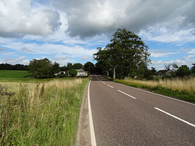
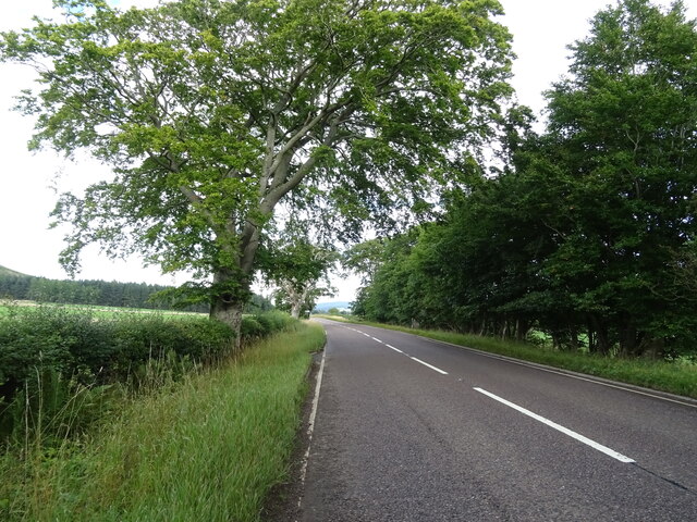
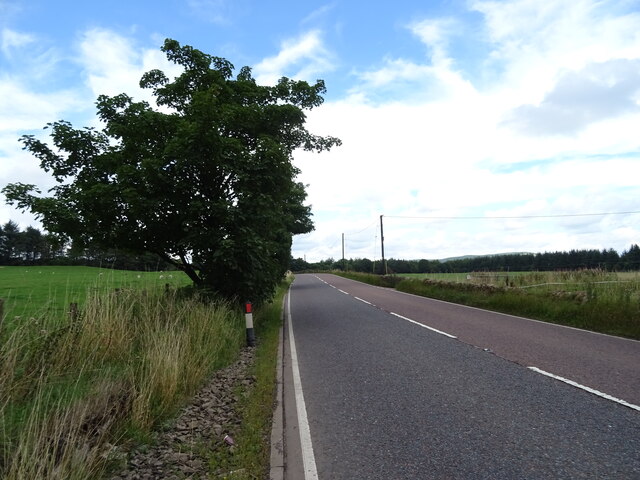
Situated in close proximity to the town of Lanark, Burnhead Wood is easily accessible by car or public transportation. Its natural beauty, peaceful atmosphere, and diverse ecosystem make it a popular destination for walkers, nature enthusiasts, and families seeking a day of outdoor recreation and relaxation.

If you have any feedback on the listing, please let us know in the comments section below.

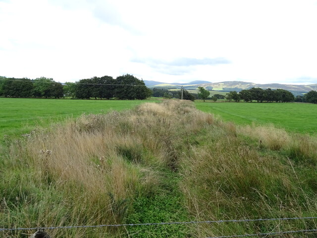
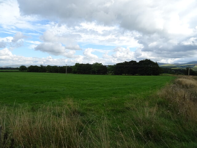
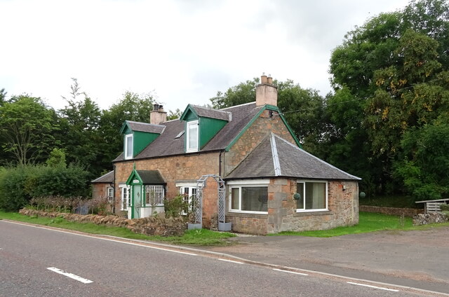
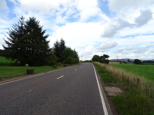
Burnhead Wood Images

Images are sourced within 2km of 55.589057/-3.6153804 or Grid Reference NS9834. Thanks to Geograph Open Source API. All images are credited.

Farm buildings, Chesterhall Park Farm
Grazing near Chesterhall Park Farm Off the A73.
Grazing near Chesterhall Park Farm
Off the A73.
A73 towards Lanark
A73 towards Lanark
Grazing towards Scaut Hill
A73 approaching Wyndales Toll Cottage Towards Lanark.
A73 approaching Wyndales Toll Cottage
Towards Lanark.
Grazing near Cottage Wood Off the A73.
Grazing near Cottage Wood
Off the A73.
A73 towards Lanark
A73 towards Lanark
Drain near Westside
Drain near Westside
Grazing near Westside Off the A73.
Grazing near Westside
Off the A73.
Greengables Cottage on the A73.
Greengables
Cottage on the A73.
A73 near Greengables Towards Lanark.
A73 near Greengables
Towards Lanark.
Sheep grazing towards Brakenhurst Strip
A73 near Broadlees Towards Lanark.
A73 near Broadlees
Towards Lanark.
Kaimend Cottages Beside the A73.
Kaimend Cottages
Beside the A73.
Tinto, from near Wyndales Farm Looking northwest from the West Coast Mainline.
Tinto, from near Wyndales Farm
Looking northwest from the West Coast Mainline.
Symington Mains Farm from Castle Hill The ground on the other side of the Clyde rises to the moorland hills of Turkey Hill and Lamington Hill.
Symington Mains Farm from Castle Hill
The ground on the other side of the Clyde rises to the moorland hills of Turkey Hill and Lamington Hill.
Sun-dappled woodland at Castle Hill A pleasant, shady place on a warm July day.

There are traces on this knoll of earthworks that might once have been a castle. More details can be found at <span class="nowrap"><a title="https://canmore.org.uk/site/47548/castle-hill" rel="nofollow ugc noopener" href="https://canmore.org.uk/site/47548/castle-hill">Link</a><img style="margin-left:2px;" alt="External link" title="External link - shift click to open in new window" src="https://s1.geograph.org.uk/img/external.png" width="10" height="10"/></span>.
Sun-dappled woodland at Castle Hill
A pleasant, shady place on a warm July day. There are traces on this knoll of earthworks that might once have been a castle. More details can be found at LinkExternal link.
Clyde Valley near Langholm Clyde flood plain under Tinto
Clyde Valley near Langholm
Clyde flood plain under Tinto
Show me another place!

Burnhead Wood is located at Grid Ref: NS9834 (Lat: 55.589057, Lng: -3.6153804)

Unitary Authority: South Lanarkshire

Police Authority: Lanarkshire

What 3 Words

///flagged.unearthly.wriggled. Near Biggar, South Lanarkshire

Nearby Locations

Burnhead Wood Goose Wood

Related Wikis

Symington, South Lanarkshire

Symington is a small village in South Lanarkshire, Scotland, 3 miles (5 km) southwest of Biggar, 10 miles (16 km) east of Douglas and 13 miles (21 km)...

Lamington Tower

Lamington Tower was a 16th-century tower house, constructed by William Baillie of Lamington, near Lamington, South Lanarkshire, Scotland. The tower house...

Symington railway station

Symington railway station served the village of Symington in Scotland between 1848 and 1965. It was on the main line of the Caledonian Railway and for...

A72 road

The A72 road is a major route in Scotland connecting Hamilton in South Lanarkshire, with Galashiels in the Scottish Borders. It travels for over 97 kilometres...

Nearby Amenities

Located within 500m of 55.589057,-3.6153804
Power: pole
Lat/Long: 55.5934436/-3.6139403
Power: pole
Lat/Long: 55.5926894/-3.6143888
Power: pole
Lat/Long: 55.5919459/-3.6148161
Power: pole
Lat/Long: 55.5912167/-3.6152645
Power: pole
Lat/Long: 55.5904971/-3.6157024
Power: pole
Lat/Long: 55.5897404/-3.6161403
Power: pole
Lat/Long: 55.5889909/-3.6165803
Power: pole
Lat/Long: 55.5883872/-3.616942
Power: pole
Lat/Long: 55.5879879/-3.6171493
Power: pole
Lat/Long: 55.5871176/-3.6175724
Power: pole
Lat/Long: 55.5863442/-3.6179595
Power: pole
Lat/Long: 55.5855527/-3.618336
Power: pole
Lat/Long: 55.5883711/-3.6145591
Power: pole
Lat/Long: 55.5880794/-3.6135691
Power: pole
Lat/Long: 55.5877506/-3.6124924
Power: pole
Lat/Long: 55.5872474/-3.6114157
Power: pole
Lat/Long: 55.5867441/-3.610358
Power: pole
Lat/Long: 55.5865695/-3.6100259
Power: pole
Lat/Long: 55.5863113/-3.6095479
Power: pole
Lat/Long: 55.5925143/-3.6127589
Power: pole
Lat/Long: 55.5923613/-3.6112274
Power: pole
Lat/Long: 55.5922083/-3.6097615
The data included in this document is from www.openstreetmap.org. The data is made available under ODbL.

Have you been to Burnhead Wood?

Leave your review of Burnhead Wood below (or comments, questions and feedback).