Goose Wood

Wood, Forest in Lanarkshire

Scotland

Goose Wood

Grazing towards Scaut Hill
Grazing towards Scaut Hill Credit: JThomas

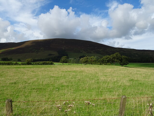
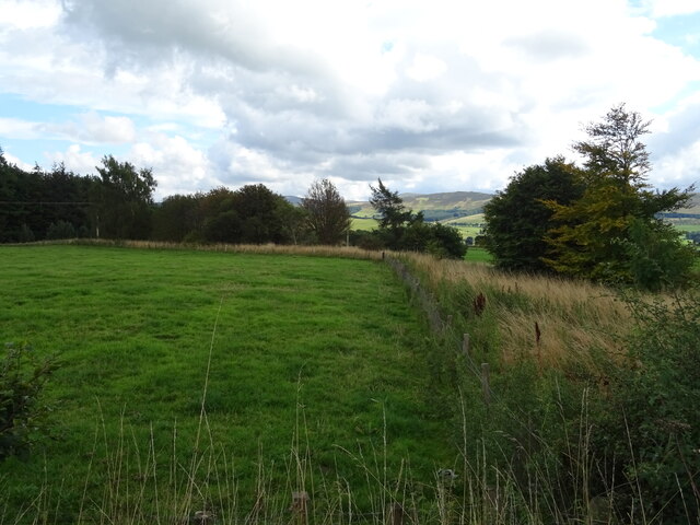
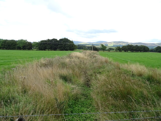
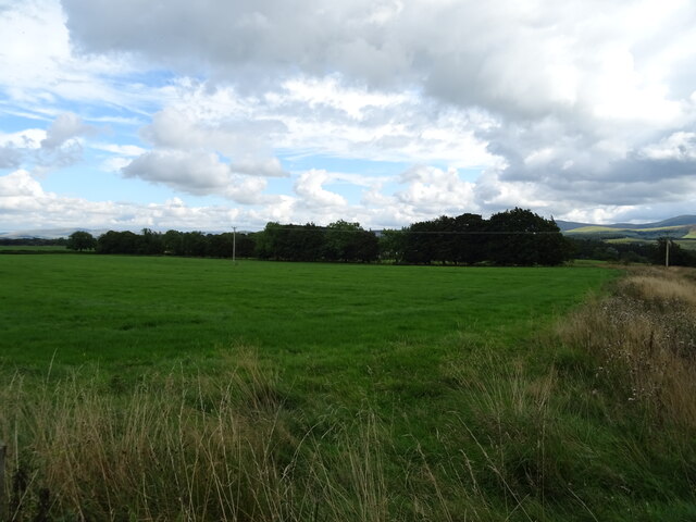
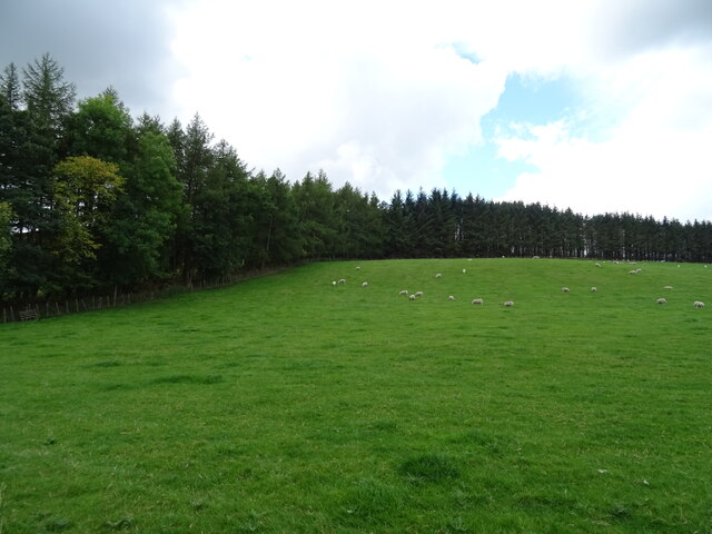
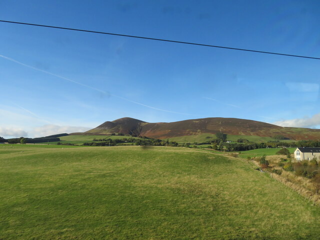
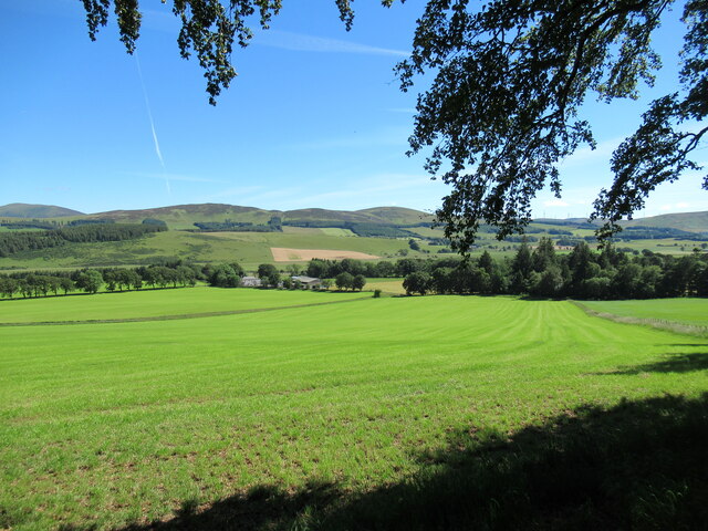
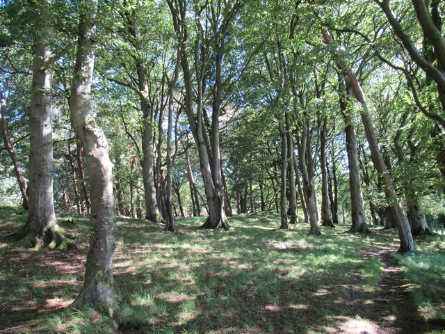
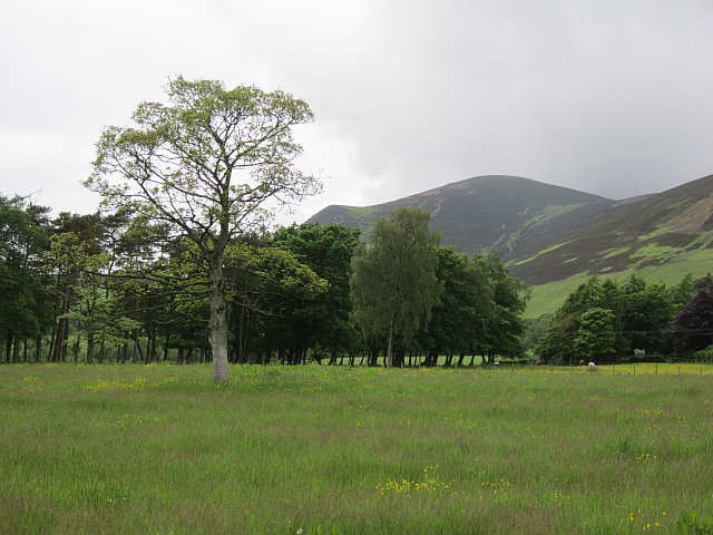
Goose Wood is a picturesque forest located in the heart of Lanarkshire, a county in Scotland. Spanning an area of approximately 50 acres, this woodland is known for its abundant wildlife, serene atmosphere, and stunning natural beauty.

The forest is dominated by a variety of deciduous and coniferous trees, including oak, beech, pine, and birch. The dense canopy of foliage provides a cool and shaded environment, making it an ideal place for visitors to escape the summer heat. The forest floor is carpeted with a rich variety of wildflowers, including bluebells, primroses, and foxgloves, creating a vibrant and colorful display.

Goose Wood is home to a wide range of wildlife, making it a popular spot for nature enthusiasts and birdwatchers. The forest is teeming with bird species, including woodpeckers, owls, and various songbirds. Visitors may also have the chance to spot red squirrels, foxes, and deer roaming freely in their natural habitat.

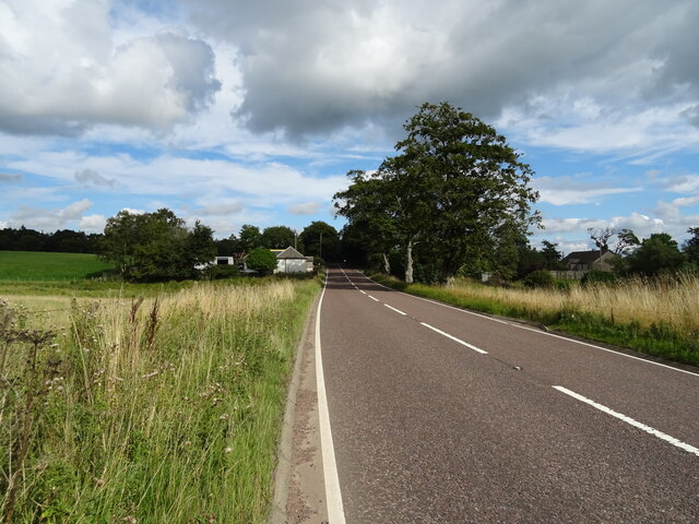
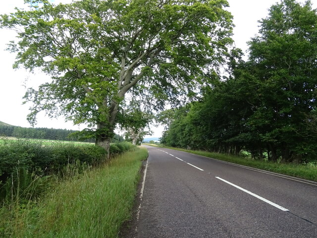
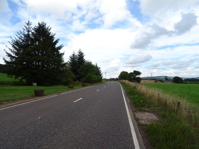
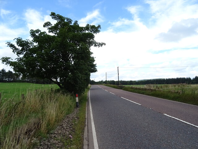
The woodland is crisscrossed by a network of well-maintained walking trails, providing visitors with the opportunity to explore and immerse themselves in the tranquil surroundings. These trails vary in difficulty, catering to both novice and experienced hikers. Additionally, the forest offers picnic areas and designated camping spots for those who wish to spend more time in this enchanting woodland.

Overall, Goose Wood is a hidden gem in Lanarkshire, offering visitors a chance to connect with nature and experience the beauty of Scotland's wilderness. Whether it's a leisurely stroll, birdwatching, or simply enjoying a picnic amidst the peaceful surroundings, Goose Wood has something to offer for everyone.

If you have any feedback on the listing, please let us know in the comments section below.

Goose Wood Images

Images are sourced within 2km of 55.590217/-3.6051137 or Grid Reference NS9834. Thanks to Geograph Open Source API. All images are credited.

Grazing towards Scaut Hill
A73 approaching Wyndales Toll Cottage Towards Lanark.
A73 approaching Wyndales Toll Cottage
Towards Lanark.
Grazing near Cottage Wood Off the A73.
Grazing near Cottage Wood
Off the A73.
A73 towards Lanark
A73 towards Lanark
Drain near Westside
Drain near Westside
Grazing near Westside Off the A73.
Grazing near Westside
Off the A73.
Greengables Cottage on the A73.
Greengables
Cottage on the A73.
A73 near Greengables Towards Lanark.
A73 near Greengables
Towards Lanark.
Sheep grazing towards Brakenhurst Strip
A73 near Broadlees Towards Lanark.
A73 near Broadlees
Towards Lanark.
Kaimend Cottages Beside the A73.
Kaimend Cottages
Beside the A73.
Tinto, from near Wyndales Farm Looking northwest from the West Coast Mainline.
Tinto, from near Wyndales Farm
Looking northwest from the West Coast Mainline.
Symington Mains Farm from Castle Hill The ground on the other side of the Clyde rises to the moorland hills of Turkey Hill and Lamington Hill.
Symington Mains Farm from Castle Hill
The ground on the other side of the Clyde rises to the moorland hills of Turkey Hill and Lamington Hill.
Sun-dappled woodland at Castle Hill A pleasant, shady place on a warm July day.

There are traces on this knoll of earthworks that might once have been a castle. More details can be found at <span class="nowrap"><a title="https://canmore.org.uk/site/47548/castle-hill" rel="nofollow ugc noopener" href="https://canmore.org.uk/site/47548/castle-hill">Link</a><img style="margin-left:2px;" alt="External link" title="External link - shift click to open in new window" src="https://s1.geograph.org.uk/img/external.png" width="10" height="10"/></span>.
Sun-dappled woodland at Castle Hill
A pleasant, shady place on a warm July day. There are traces on this knoll of earthworks that might once have been a castle. More details can be found at LinkExternal link.
Clyde Valley near Langholm Clyde flood plain under Tinto
Clyde Valley near Langholm
Clyde flood plain under Tinto
River Clyde, Lamington The wide section is due to gravel extraction.
River Clyde, Lamington
The wide section is due to gravel extraction.
Railway bridge and road junction near Symington
Field. Wyndales House A grass crop under Tinto.
Field. Wyndales House
A grass crop under Tinto.
Show me another place!

Goose Wood is located at Grid Ref: NS9834 (Lat: 55.590217, Lng: -3.6051137)

Unitary Authority: South Lanarkshire

Police Authority: Lanarkshire

What 3 Words

///refills.hedgehog.bumpy. Near Biggar, South Lanarkshire

Nearby Locations

Burnhead Wood Goose Wood

Related Wikis

Symington, South Lanarkshire

Symington is a small village in South Lanarkshire, Scotland, 3 miles (5 km) southwest of Biggar, 10 miles (16 km) east of Douglas and 13 miles (21 km)...

A72 road

The A72 road is a major route in Scotland connecting Hamilton in South Lanarkshire, with Galashiels in the Scottish Borders. It travels for over 97 kilometres...

Symington railway station

Symington railway station served the village of Symington in Scotland between 1848 and 1965. It was on the main line of the Caledonian Railway and for...

Lamington Tower

Lamington Tower was a 16th-century tower house, constructed by William Baillie of Lamington, near Lamington, South Lanarkshire, Scotland. The tower house...

Nearby Amenities

Located within 500m of 55.590217,-3.6051137
Power: pole
Lat/Long: 55.5864739/-3.6084796
Power: pole
Lat/Long: 55.5866556/-3.6072697
Power: pole
Lat/Long: 55.5870035/-3.6065991
Power: pole
Lat/Long: 55.5873705/-3.6058482
Power: pole
Lat/Long: 55.5877243/-3.6051374
Power: pole
Lat/Long: 55.5877028/-3.6038026
Power: pole
Lat/Long: 55.5876849/-3.6024594
Power: pole
Lat/Long: 55.5876646/-3.6011141
Power: pole
Lat/Long: 55.5876419/-3.5997455
Power: pole
Lat/Long: 55.5923613/-3.6112274
Power: pole
Lat/Long: 55.5922083/-3.6097615
Power: pole
Lat/Long: 55.5920529/-3.6082639
Power: pole
Lat/Long: 55.5917624/-3.607496
Power: pole
Lat/Long: 55.5916154/-3.6071343
Power: pole
Lat/Long: 55.5915078/-3.6064045
Power: pole
Lat/Long: 55.5916644/-3.6055478
Power: pole
Lat/Long: 55.5917397/-3.6050676
The data included in this document is from www.openstreetmap.org. The data is made available under ODbL.

Have you been to Goose Wood?

Leave your review of Goose Wood below (or comments, questions and feedback).