Bank Wood

Wood, Forest in Lanarkshire

Scotland

Bank Wood

Gravelly bank of River Clyde A meandering section of the river near the confluence with the Medwin Water.
Gravelly bank of River Clyde Credit: Alan O'Dowd

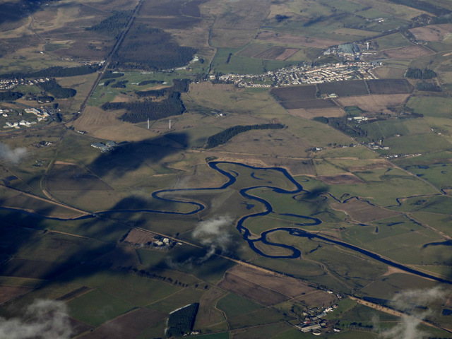
Bank Wood is a picturesque woodland area located in the Lanarkshire region of Scotland. Covering an expansive area, this serene forest is known for its lush greenery, diverse wildlife, and tranquil atmosphere, making it a popular destination for nature enthusiasts and outdoor enthusiasts alike.

The wood is characterized by a mix of broadleaf and coniferous trees, including oak, birch, and pine, creating a vibrant and diverse ecosystem. The dense canopy of trees provides shelter for a wide variety of animals, such as red squirrels, deer, and various bird species, making it a haven for wildlife spotting.

Visitors to Bank Wood can explore its extensive network of well-maintained walking trails, allowing them to immerse themselves in the natural beauty of the forest. The trails offer stunning views of the surrounding countryside and meander through enchanting woodland landscapes, providing a peaceful and rejuvenating experience.

In addition to its natural beauty, Bank Wood also holds historical significance. It is believed that the wood was once used as a source of timber for the local community, contributing to the region's rich industrial heritage. Today, remnants of this history can still be seen in the form of old stone walls and abandoned sawmills, adding an intriguing touch to the woodland's charm.

Overall, Bank Wood in Lanarkshire is a captivating destination for those seeking solace in nature. Its verdant landscapes, diverse wildlife, and historical remnants make it a must-visit location for anyone looking to escape the hustle and bustle of everyday life and reconnect with the natural world.

If you have any feedback on the listing, please let us know in the comments section below.
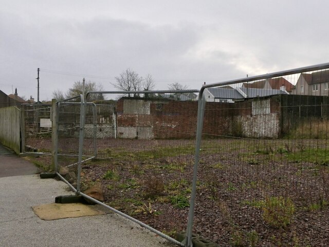
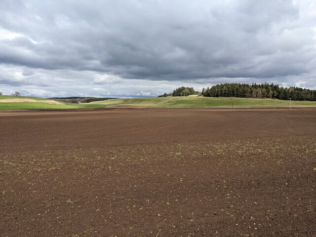
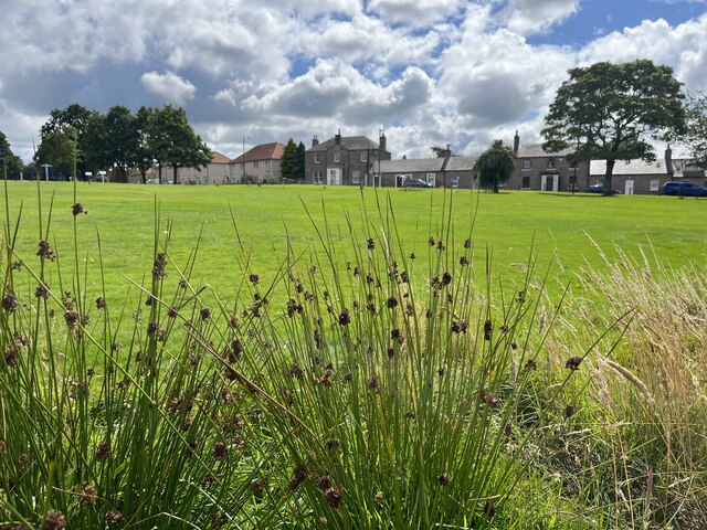
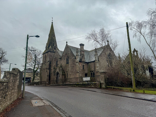
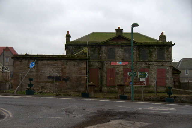
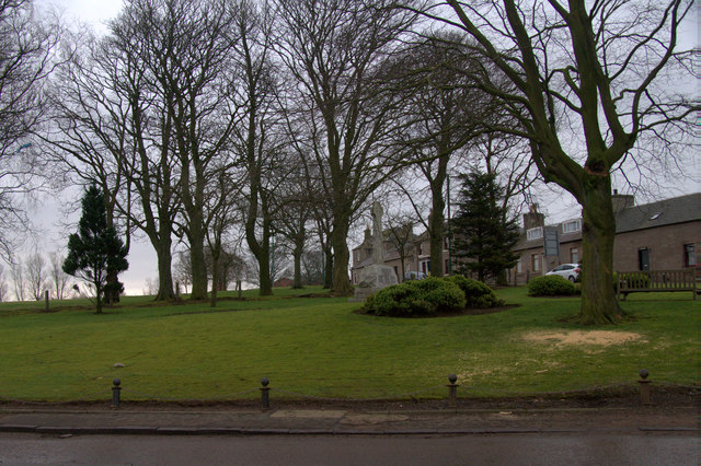
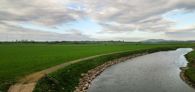
Bank Wood Images

Images are sourced within 2km of 55.687948/-3.6240218 or Grid Reference NS9745. Thanks to Geograph Open Source API. All images are credited.

Gravelly bank of River Clyde A meandering section of the river near the confluence with the Medwin Water.
Gravelly bank of River Clyde
A meandering section of the river near the confluence with the Medwin Water.
Upstream view on the Clyde near Muirhouse, Carnwath A meandering section of the river near the confluence with the Medwin Water.
Upstream view on the Clyde near Muirhouse, Carnwath
A meandering section of the river near the confluence with the Medwin Water.
Meander on the Clyde opposite Eastfield A meandering section of the river near the confluence with the Medwin Water.
Meander on the Clyde opposite Eastfield
A meandering section of the river near the confluence with the Medwin Water.
The State Hospital at Carstairs Seen from  TransPennine Express approaching Carstairs Junction, en route to Manchester Airport.
The State Hospital at Carstairs
Seen from TransPennine Express approaching Carstairs Junction, en route to Manchester Airport.
A721 towards Carnwath
Main Street, Carnwath
Vacant plot, Carnwath Several houses have been demolished here and the area has been undeveloped for some time now.  One of the buildings was this one: <a href="https://www.geograph.org.uk/photo/4847034">NS9846 : Dilapidated building in Carnwath</a>
Vacant plot, Carnwath
Several houses have been demolished here and the area has been undeveloped for some time now. One of the buildings was this one: NS9846 : Dilapidated building in Carnwath
Derelict shop, Main Street Carnwath
Vacant plot, Carnwath
Recently seeded field adjacent to A721 A recently seeded field looking lovely and smooth to the north of the A721 between Carnwath and Kaimend.
Recently seeded field adjacent to A721
A recently seeded field looking lovely and smooth to the north of the A721 between Carnwath and Kaimend.
The Green at Carnwath Looking more picturesque when the sun was shining ! The War Memorial is situated nearby. On the Green are 6 pieces of Fitness Equipment placed here in 2021. So for all those wishing to exercise outside in the fresh air with a good view, this is the place to visit !
The Green at Carnwath
Looking more picturesque when the sun was shining ! The War Memorial is situated nearby. On the Green are 6 pieces of Fitness Equipment placed here in 2021. So for all those wishing to exercise outside in the fresh air with a good view, this is the place to visit !
Layby on the A721 The A721 is a cross-country A-road in southern Scotland. It used to start in Glasgow but now begins at Junction 3A of the M74 and runs for 34 miles until reaching a junction with the A72/A701 at Kirkdean.
Layby on the A721
The A721 is a cross-country A-road in southern Scotland. It used to start in Glasgow but now begins at Junction 3A of the M74 and runs for 34 miles until reaching a junction with the A72/A701 at Kirkdean.
Carnwarth Church At the west end of the village of Carnwath​ stands its parish church. At first sight this looks like a fairly standard 1800s church with spire. But immediately to its west is a small stone building built in an altogether more elaborate style and obviously dating back to a much earlier era. This is St Mary's Aisle.

St Mary's Aisle was once the north transept of St Mary's Church. This was founded in 1386, and was expanded into a collegiate church in 1425 by Thomas, First Lord Somerville. Here the ecclesiastical college, comprising a provost and six prebendaries or canons, would spend time each day praying for the souls of the Somerville family.

Collegiate Churches were generally endowed by the great and the good (and the rich) of the land. Each was served by a small religious community whose primary role was to pray for the souls of their benefactor, his wife, and his family. Presumably the idea was to relieve the great and the good of the onerous burden of praying for their own souls. Lennon and McCartney may have been right in suggesting that "money can't buy you love": but in the Scotland of the 1400s many believed it could buy you salvation.

By the mid 1400s, St Mary's comprised a nave and chancel plus transepts to the north and south. St Mary's Aisle started life as the north transept of the church, which means that the chancel would have been immediately to the south of today's parish church with the nave extending off to the west of it. If the quality of the architecture of the aisle is anything to go by, St Mary's Church must have been a remarkable building.

St Mary's Church ceased to be used in 1799 when, according to some sources, the current Parish Church was built. Other sources date the current church to 1867: it seems likely that the later date was when a 1799 church was renovated. Either way, it is difficult to imagine the new church being built without the old one, which would have blocked much of its light, being demolished.

By the 1860s, all that was left of the old church were St Mary's Aisle and some outlines of walls in the grass. The north transept had been used for centuries as a burial aisle by the Somerville family, and when the rest of the church was demolished it seems to have been converted to a free standing aisle to serve a similar purpose for the Lockhart family.

It is fascinating to try to work out why - and how - the new church was built so close to the one it replaced. There is a gap between the east wall of the aisle and the west wall of the more recent church, but their buttresses interleave, effectively filling the gap completely.
Carnwarth Church
At the west end of the village of Carnwath​ stands its parish church. At first sight this looks like a fairly standard 1800s church with spire. But immediately to its west is a small stone building built in an altogether more elaborate style and obviously dating back to a much earlier era. This is St Mary's Aisle. St Mary's Aisle was once the north transept of St Mary's Church. This was founded in 1386, and was expanded into a collegiate church in 1425 by Thomas, First Lord Somerville. Here the ecclesiastical college, comprising a provost and six prebendaries or canons, would spend time each day praying for the souls of the Somerville family. Collegiate Churches were generally endowed by the great and the good (and the rich) of the land. Each was served by a small religious community whose primary role was to pray for the souls of their benefactor, his wife, and his family. Presumably the idea was to relieve the great and the good of the onerous burden of praying for their own souls. Lennon and McCartney may have been right in suggesting that "money can't buy you love": but in the Scotland of the 1400s many believed it could buy you salvation. By the mid 1400s, St Mary's comprised a nave and chancel plus transepts to the north and south. St Mary's Aisle started life as the north transept of the church, which means that the chancel would have been immediately to the south of today's parish church with the nave extending off to the west of it. If the quality of the architecture of the aisle is anything to go by, St Mary's Church must have been a remarkable building. St Mary's Church ceased to be used in 1799 when, according to some sources, the current Parish Church was built. Other sources date the current church to 1867: it seems likely that the later date was when a 1799 church was renovated. Either way, it is difficult to imagine the new church being built without the old one, which would have blocked much of its light, being demolished. By the 1860s, all that was left of the old church were St Mary's Aisle and some outlines of walls in the grass. The north transept had been used for centuries as a burial aisle by the Somerville family, and when the rest of the church was demolished it seems to have been converted to a free standing aisle to serve a similar purpose for the Lockhart family. It is fascinating to try to work out why - and how - the new church was built so close to the one it replaced. There is a gap between the east wall of the aisle and the west wall of the more recent church, but their buttresses interleave, effectively filling the gap completely.
Lay-by beside Medwin Water, near Libberton
Dilapidated building in Carnwath
War memorial at John Mann Park, Carnwath
River Clyde Crossing the River Clyde on the WCML.
River Clyde
Crossing the River Clyde on the WCML.
Approaching Carnwath
Show me another place!

Bank Wood is located at Grid Ref: NS9745 (Lat: 55.687948, Lng: -3.6240218)

Unitary Authority: South Lanarkshire

Police Authority: Lanarkshire

What 3 Words

///stardom.clay.fatigued. Near Carnwath, South Lanarkshire

Related Wikis

Bankhead (Lanarkshire) railway station

Bankhead railway station served the isolated settlement of Bankhead, east of Carstairs Junction in South Lanarkshire, Scotland from 1867 to 1945 on the...

South Medwin River

South Medwin, sometimes spelled Medwyn, is a river in the Lanarkshire region of Scotland. Along with the confluence of the North Medwin River it forms...
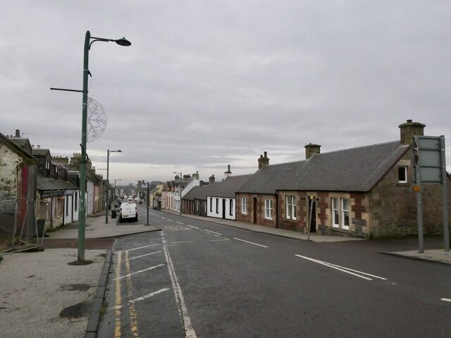
Carnwath

Carnwath (Gaelic: A' Chathair Nuadh; English: "New Fort") is a moorland village on the southern edge of the Pentland Hills of South Lanarkshire, Scotland...
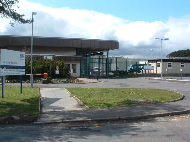
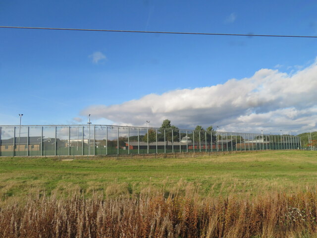
State Hospital

The State Hospital (also known as Carstairs Hospital, or simply Carstairs) is a psychiatric hospital in the village of Carstairs, in South Lanarkshire...

Nearby Amenities

Located within 500m of 55.687948,-3.6240218
Power: pole
Lat/Long: 55.6921212/-3.6213515
Power: pole
Lat/Long: 55.6916532/-3.621545
Power: pole
Lat/Long: 55.6911543/-3.6217216
Power: pole
Lat/Long: 55.6906838/-3.621711
Power: pole
Lat/Long: 55.6900344/-3.621711
Power: pole
Lat/Long: 55.6892286/-3.6217173
Power: pole
Lat/Long: 55.6883966/-3.6217194
Power: pole
Lat/Long: 55.687592/-3.6217328
Power: pole
Lat/Long: 55.6871333/-3.6217405
Power: pole
Lat/Long: 55.6866486/-3.6220411
Power: pole
Lat/Long: 55.6861781/-3.6223544
Power: pole
Lat/Long: 55.6855997/-3.6227265
Power: pole
Lat/Long: 55.6850948/-3.6230923
Power: pole
Lat/Long: 55.6875955/-3.6209437
Power: pole
Lat/Long: 55.6854563/-3.6174579
Power: pole
Lat/Long: 55.685243/-3.6183977
Power: pole
Lat/Long: 55.6850842/-3.6193711
Power: pole
Lat/Long: 55.6849111/-3.6204244
Power: pole
Lat/Long: 55.6850036/-3.6217342
Power: pole
Lat/Long: 55.6853271/-3.6239354
Power: pole
Lat/Long: 55.6854219/-3.6243075
Power: pole
Lat/Long: 55.6856756/-3.6252767
Power: pole
Lat/Long: 55.685947/-3.6263342
Power: pole
Lat/Long: 55.6862113/-3.627358
Power: pole
Lat/Long: 55.6864696/-3.6284155
Bankhead
Historic Railway: station
Railway: site
Wikidata: Q83448538
Wikipedia: en:Bankhead (Lanarkshire) railway station
Lat/Long: 55.6847099/-3.6211606
The data included in this document is from www.openstreetmap.org. The data is made available under ODbL.

Have you been to Bank Wood?

Leave your review of Bank Wood below (or comments, questions and feedback).