Dean Wood
Wood, Forest in Lanarkshire
Scotland
Dean Wood

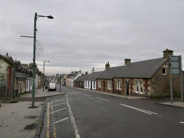
Dean Wood is a small village located in the Lanarkshire region of Scotland. Situated near the town of Airdrie, it is known for its beautiful woodland areas, hence the name "Wood." The village is surrounded by lush greenery and offers a peaceful and serene environment for residents and visitors alike.
Covering an area of approximately 2 square miles, Dean Wood is home to a close-knit community. The village primarily consists of residential properties, with a mix of traditional stone-built cottages and more modern houses. The population of Dean Wood is relatively small, creating a friendly and welcoming atmosphere.
The village is well-connected to neighboring areas through road links, making it easily accessible. Nearby Airdrie provides a range of amenities, including shops, schools, and leisure facilities, which cater to the needs of Dean Wood residents.
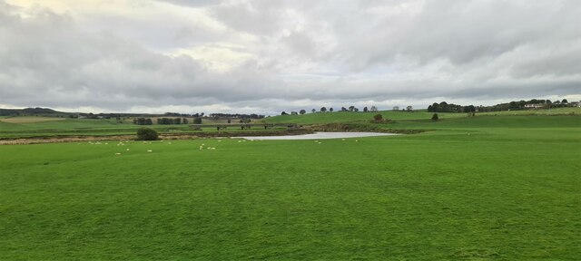
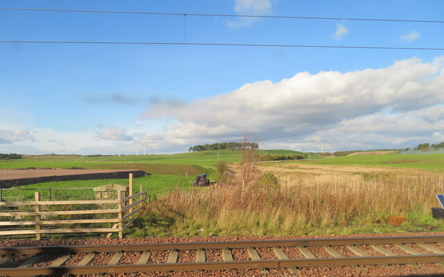
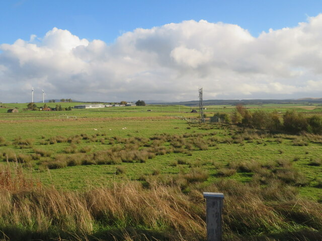
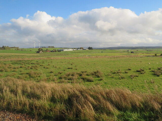
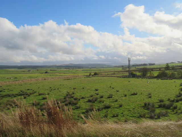
One of the main attractions of Dean Wood is its stunning forest areas. The village is blessed with abundant natural beauty, with various walking trails and paths that allow visitors to explore the enchanting woodland. The forest is home to a diverse range of flora and fauna, and wildlife enthusiasts can spot various species of birds and small mammals in their natural habitat.
Overall, Dean Wood offers a tranquil and picturesque setting, making it an ideal place for nature lovers and those seeking a relaxed lifestyle. Whether you are looking to enjoy the natural beauty or be part of a close-knit community, Dean Wood provides a unique experience in the heart of Lanarkshire.
If you have any feedback on the listing, please let us know in the comments section below.
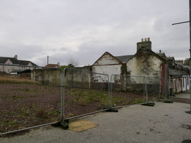
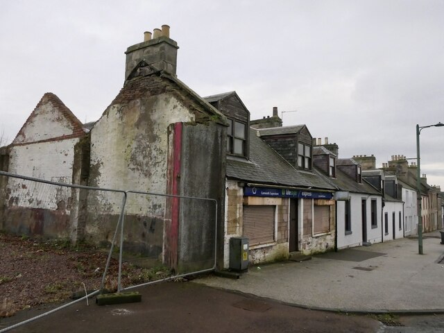
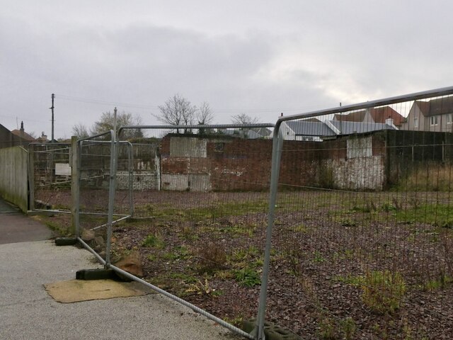
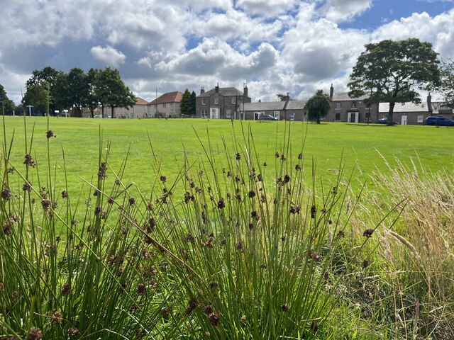
Dean Wood Images
Images are sourced within 2km of 55.689475/-3.6361915 or Grid Reference NS9745. Thanks to Geograph Open Source API. All images are credited.


Dean Wood is located at Grid Ref: NS9745 (Lat: 55.689475, Lng: -3.6361915)
Unitary Authority: South Lanarkshire
Police Authority: Lanarkshire
What 3 Words
///warned.eyelash.opposing. Near Carnwath, South Lanarkshire
Nearby Locations
Related Wikis

Bankhead (Lanarkshire) railway station
Bankhead railway station served the isolated settlement of Bankhead, east of Carstairs Junction in South Lanarkshire, Scotland from 1867 to 1945 on the...
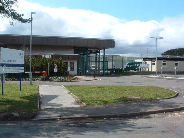
State Hospital
The State Hospital (also known as Carstairs Hospital, or simply Carstairs) is a psychiatric hospital in the village of Carstairs, in South Lanarkshire...
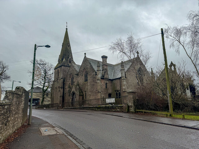
Carnwath
Carnwath (Gaelic: A' Chathair Nuadh; English: "New Fort") is a moorland village on the southern edge of the Pentland Hills of South Lanarkshire, Scotland...
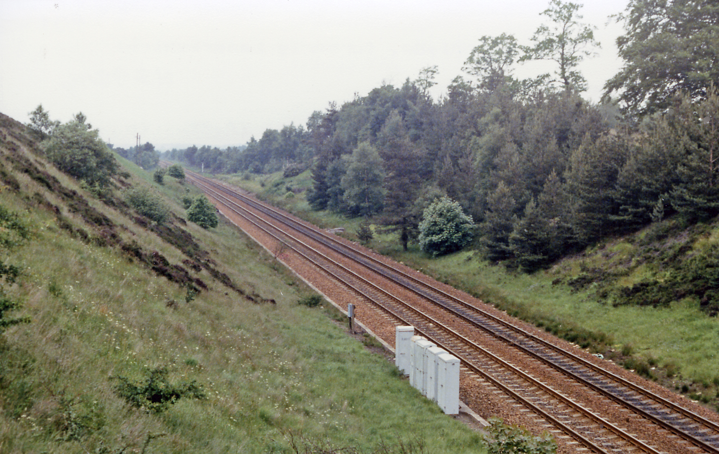
Carnwath railway station
Carnwath railway station was located just west of the village of Carnwath, on the Caledonian Railway line between Carstairs railway station and Edinburgh...
Nearby Amenities
Located within 500m of 55.689475,-3.6361915Have you been to Dean Wood?
Leave your review of Dean Wood below (or comments, questions and feedback).