Altonhill
Settlement in Ayrshire
Scotland
Altonhill
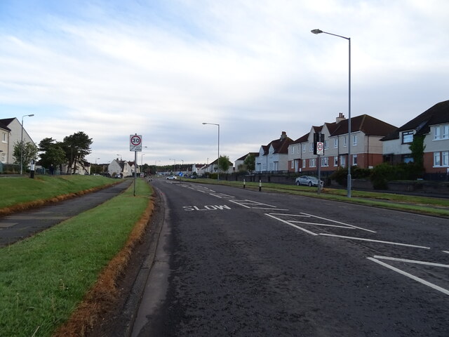
Altonhill is a small residential area located in the town of Kilmarnock, Ayrshire, in southwestern Scotland. Situated just south of the town center, it is a predominantly working-class community known for its close-knit community spirit.
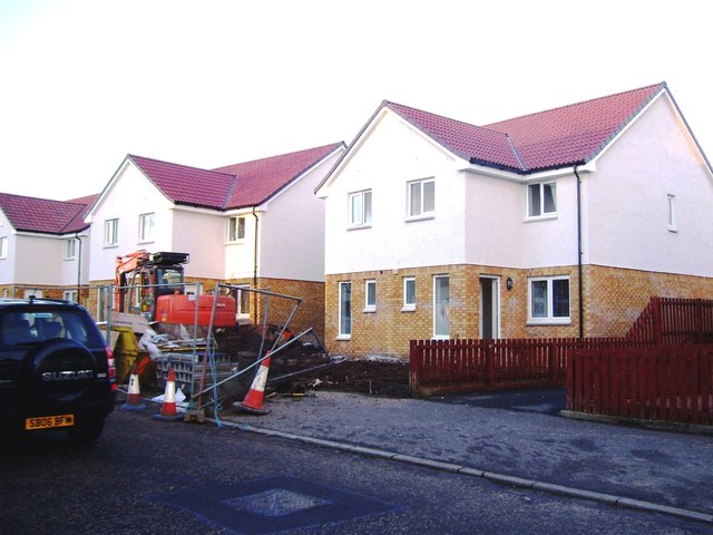
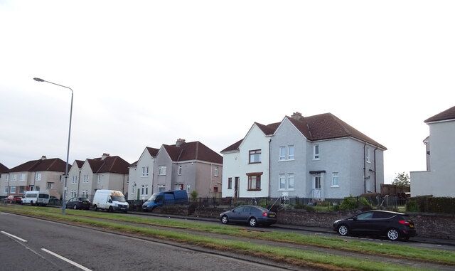
The area is primarily made up of rows of terraced houses and some small apartment buildings, providing affordable housing options for its residents. Altonhill benefits from its proximity to local amenities and services, including shops, schools, and healthcare facilities. The nearby Altonhill Primary School caters to the educational needs of the local children.
Transportation in Altonhill is convenient, with regular bus services connecting the area to Kilmarnock town center and other nearby towns. The A77 road, which runs to the west of the area, provides easy access for those commuting by car.
Altonhill has a strong sense of community, with numerous local clubs and groups offering recreational activities for residents of all ages. The Altonhill Community Centre serves as a hub for various events and gatherings, fostering relationships among residents and contributing to the community's vibrant atmosphere.
Nature enthusiasts can enjoy the nearby Dean Castle Country Park, which offers beautiful walking trails and a range of outdoor activities. The park also features Dean Castle, a well-preserved medieval stronghold that attracts history enthusiasts from near and far.
Overall, Altonhill is a pleasant and welcoming residential area, offering affordable housing, convenient amenities, and a strong sense of community spirit.
If you have any feedback on the listing, please let us know in the comments section below.
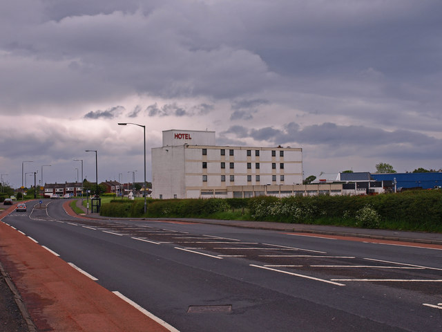
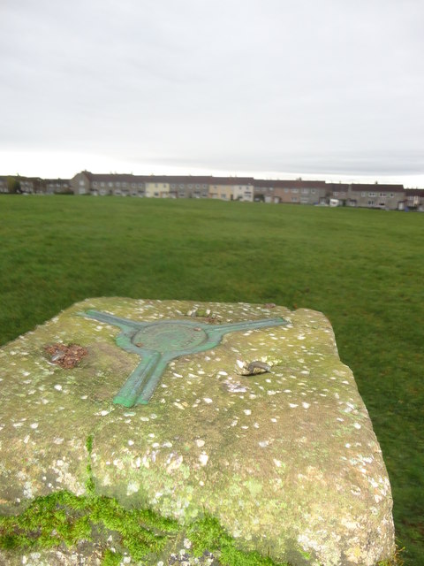
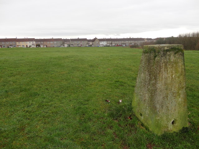
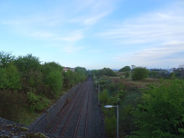
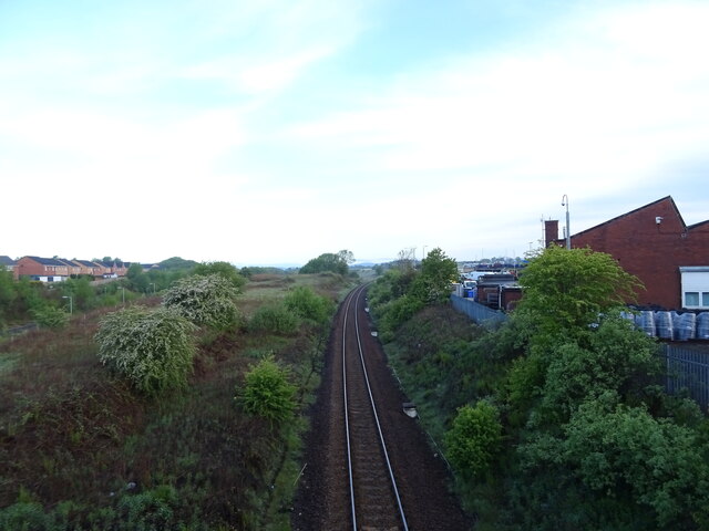
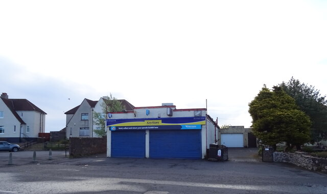
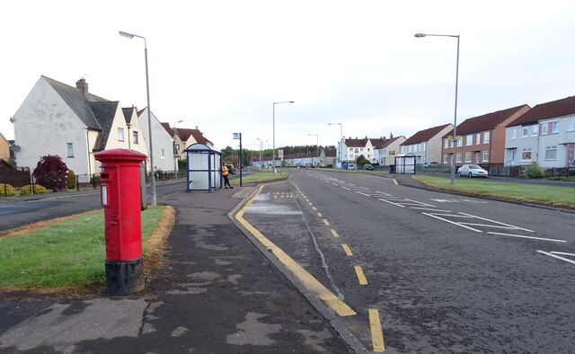
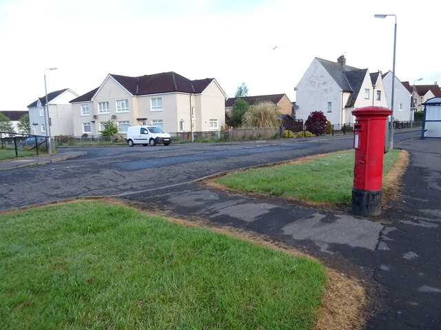
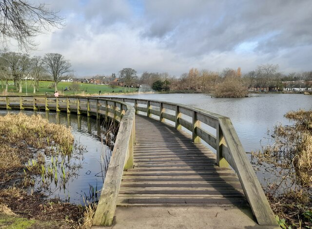
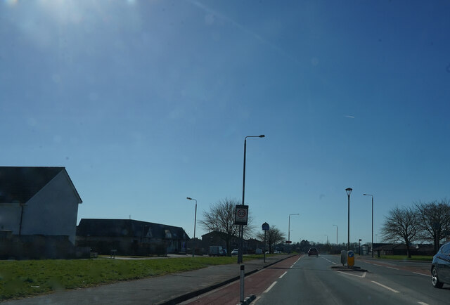
Altonhill Images
Images are sourced within 2km of 55.61937/-4.502938 or Grid Reference NS4239. Thanks to Geograph Open Source API. All images are credited.


Altonhill is located at Grid Ref: NS4239 (Lat: 55.61937, Lng: -4.502938)
Unitary Authority: East Ayrshire
Police Authority: Ayrshire
What 3 Words
///twice.lofts.tribune. Near Kilmarnock, East Ayrshire
Nearby Locations
Related Wikis

Johnnie Walker
Johnnie Walker (Scottish Gaelic: Seonaidh Walker) is a brand of Scotch whisky produced by Diageo in Scotland. It was established in the Scottish burgh...
Kilmarnock Locomotive Works
Kilmarnock Locomotive Works was built in 1856 by the Glasgow and South Western Railway (GSWR) in Kilmarnock, East Ayrshire, Scotland. == History == The...

Kilmarnock Infirmary
Kilmarnock Infirmary was a general hospital in Kilmarnock, Ayrshire in Scotland. Opened in 1868, it was designed by renowned Kilmarnock architect William...
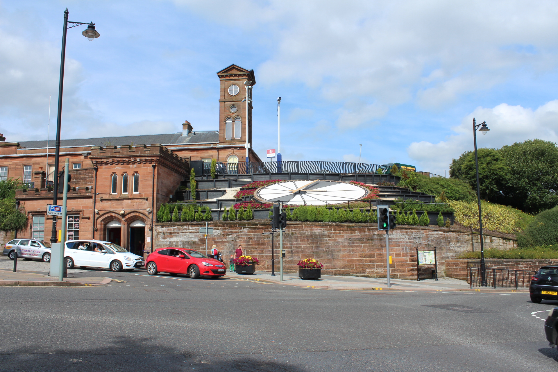
Kilmarnock railway station
Kilmarnock railway station (Scottish Gaelic: Stèisean rèile Chille Mheàrnaig) is a railway station in Kilmarnock, East Ayrshire, Scotland. The station...
Nearby Amenities
Located within 500m of 55.61937,-4.502938Have you been to Altonhill?
Leave your review of Altonhill below (or comments, questions and feedback).