Pheasant Plantation
Wood, Forest in Lanarkshire
Scotland
Pheasant Plantation
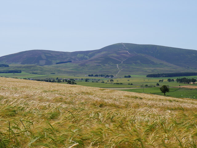
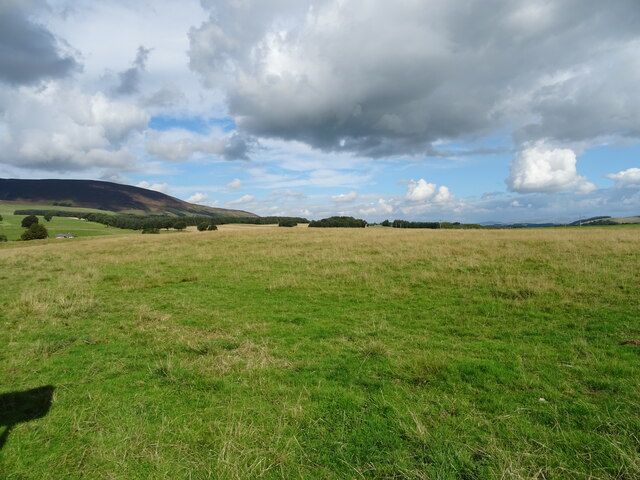
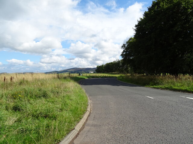
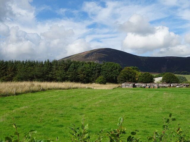
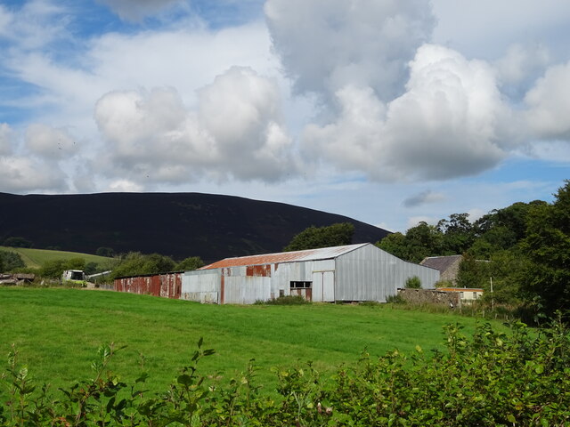
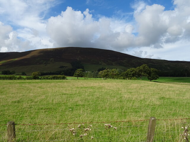
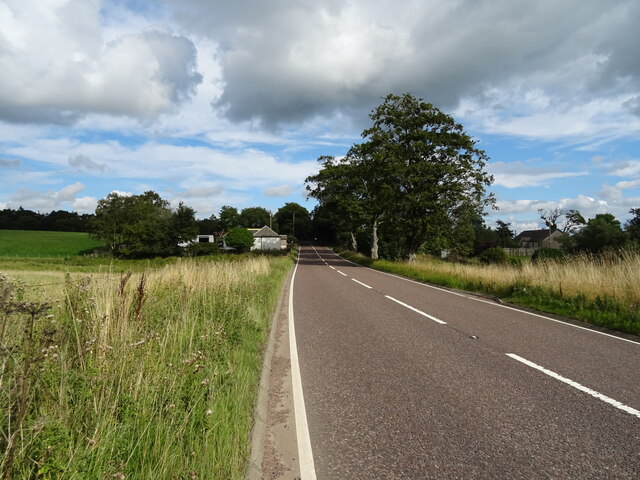
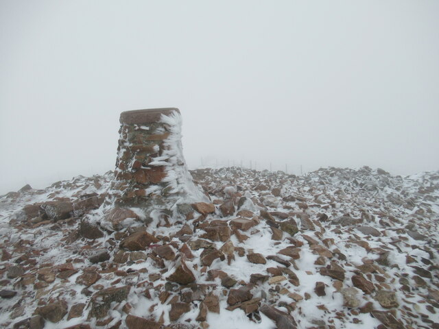
Pheasant Plantation is a beautiful woodland area located in Lanarkshire, Scotland. Situated in the heart of the countryside, the plantation is known for its dense and well-preserved forest, making it an ideal destination for nature enthusiasts and outdoor adventurers.
Covering an area of approximately 100 acres, the plantation is home to a wide variety of trees, including oak, birch, and pine, creating a diverse and vibrant ecosystem. The forest floor is covered in lush vegetation, with ferns, wildflowers, and mosses adding to the enchanting atmosphere of the woodland.
The plantation is also known for its abundant wildlife, with a significant population of pheasants, giving the area its name. Other bird species, such as woodpeckers, owls, and various songbirds, can also be spotted throughout the forest. Mammals, including deer, foxes, and rabbits, are frequently observed too, adding to the biodiversity of the area.
Several walking trails and paths wind their way through the plantation, providing visitors with the opportunity to explore the natural beauty at their own pace. These paths are well-maintained and offer stunning views of the surrounding countryside, making them ideal for leisurely strolls or more challenging hikes.
Pheasant Plantation is a true haven for nature lovers, offering a peaceful and serene environment away from the hustle and bustle of city life. With its picturesque scenery, diverse wildlife, and well-preserved woodland, it is a must-visit destination for anyone seeking a connection with nature in Lanarkshire.
If you have any feedback on the listing, please let us know in the comments section below.
Pheasant Plantation Images
Images are sourced within 2km of 55.576723/-3.6527702 or Grid Reference NS9532. Thanks to Geograph Open Source API. All images are credited.


Pheasant Plantation is located at Grid Ref: NS9532 (Lat: 55.576723, Lng: -3.6527702)
Unitary Authority: South Lanarkshire
Police Authority: Lanarkshire
What 3 Words
///remotes.steers.corrode. Near Biggar, South Lanarkshire
Nearby Locations
Related Wikis

Wiston, South Lanarkshire
Wiston is a small village in South Lanarkshire, Scotland. It is located 13 miles (21 km) south east of Lanark and 8 miles (13 km) south west of Biggar...

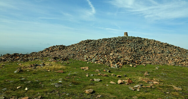
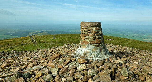
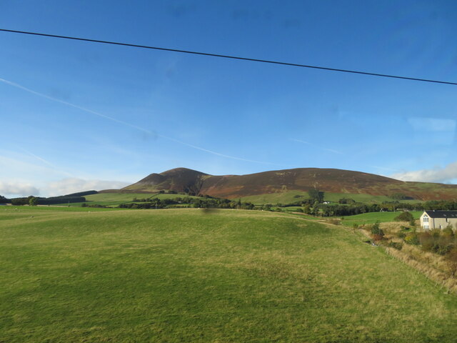
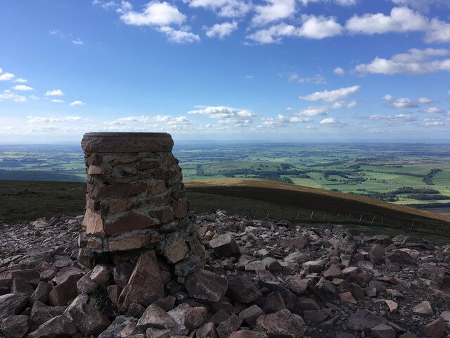
Tinto
Tinto is an isolated hill in the Southern Uplands of Scotland. It comprises little more than one top, which stands on the west bank of the River Clyde...

Lamington railway station
Lamington railway station served the village of Lamington, South Lanarkshire, Scotland from 1848 to 1965 on the Caledonian main line. == History == The...

Lamington, South Lanarkshire
Lamington is a conservation village in South Lanarkshire in Scotland, roughly between Biggar and Lanark and sits astride the A702 trunk road. It is reputed...

Roberton, South Lanarkshire
Roberton is a village in South Lanarkshire, Scotland. == Origins == The origins of the town of Roberton are intertwined with those of the Robertons of...

Symington, South Lanarkshire
Symington is a small village in South Lanarkshire, Scotland, 3 miles (5 km) southwest of Biggar, 10 miles (16 km) east of Douglas and 13 miles (21 km)...
Symington railway station
Symington railway station served the village of Symington in Scotland between 1848 and 1965. It was on the main line of the Caledonian Railway and for...

A702 road
The A702 is a major road in Scotland, that runs from Edinburgh to St. John's Town of Dalry in Dumfries and Galloway. It is the last section of the route...
Have you been to Pheasant Plantation?
Leave your review of Pheasant Plantation below (or comments, questions and feedback).