Marchlands Strip

Wood, Forest in Lanarkshire

Scotland

Marchlands Strip

Woodland beside the A73
Woodland beside the A73 Credit: JThomas

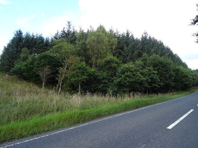
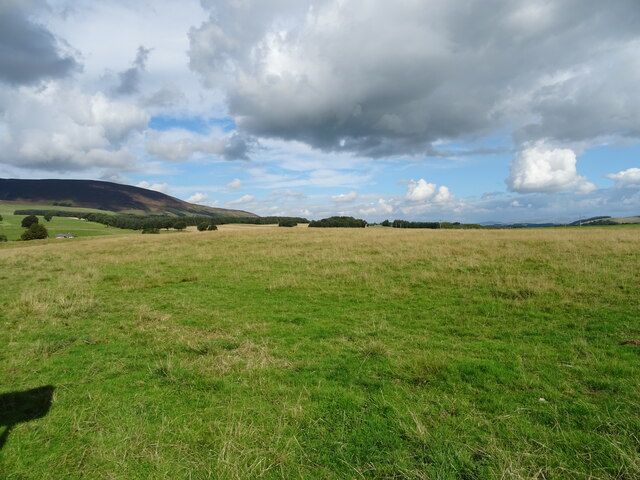
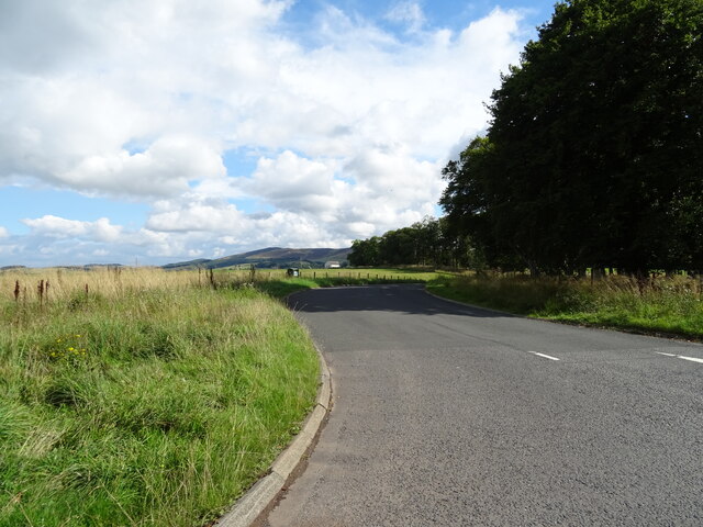
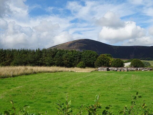
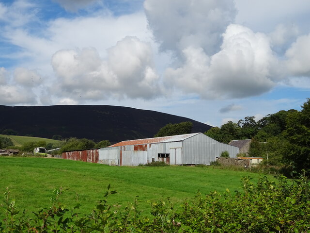
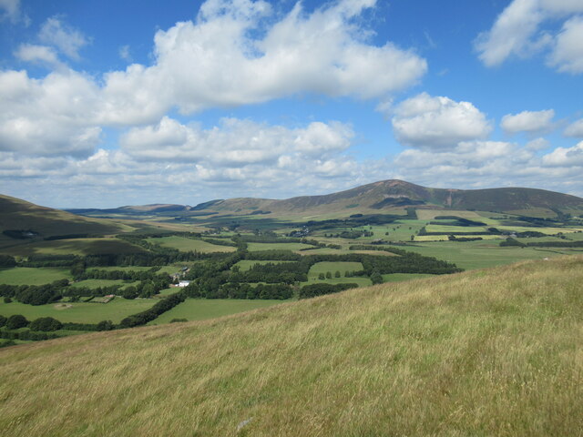
Marchlands Strip, located in Lanarkshire, is a picturesque wooded area that stretches across a vast expanse of land. Known for its stunning natural beauty, this forested region attracts nature enthusiasts, hikers, and wildlife enthusiasts alike.

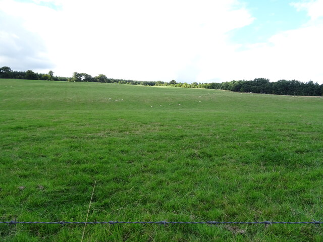
Covering an area of several square miles, Marchlands Strip is characterized by a diverse range of tree species, including oak, birch, and pine. The dense woodland provides a haven for a variety of wildlife, making it an ideal spot for birdwatching and animal spotting. Species such as red squirrels, deer, and foxes can often be seen roaming the forest floor.

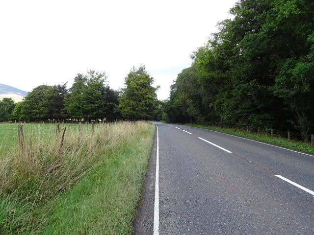
Traversing Marchlands Strip is a network of well-maintained trails that cater to visitors of all abilities. These paths wind their way through the woodland, inviting visitors to explore the natural wonders of the area. Along the way, walkers can expect to encounter babbling brooks, hidden waterfalls, and tranquil ponds, creating a serene and peaceful atmosphere.

For those seeking a more adventurous experience, Marchlands Strip offers opportunities for camping and overnight stays. Several designated camping areas are scattered throughout the forest, allowing visitors to immerse themselves in the beauty of the surroundings and experience the magic of sleeping under the stars.

Marchlands Strip is easily accessible, with ample parking facilities and visitor amenities nearby. Whether you're looking for a peaceful stroll, a wildlife encounter, or a camping adventure, this wood in Lanarkshire promises a memorable and enchanting experience in the heart of nature.

If you have any feedback on the listing, please let us know in the comments section below.

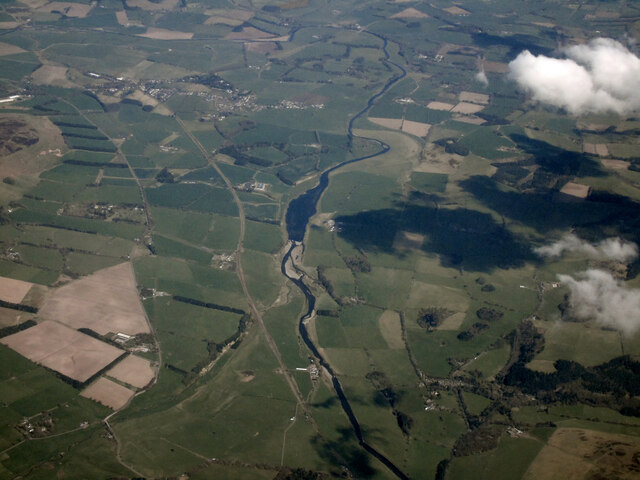
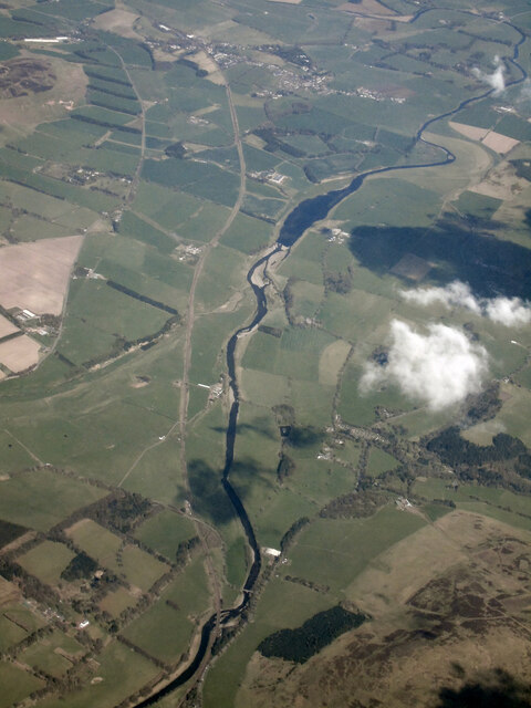
Marchlands Strip Images

Images are sourced within 2km of 55.563741/-3.6518918 or Grid Reference NS9531. Thanks to Geograph Open Source API. All images are credited.

Woodland beside the A73
Bend in the A73 towards Lanark
Hillside grazing off the A73
A73 beside woodland Towards Lanark.
A73 beside woodland
Towards Lanark.
A73 approaching junction Heading north towards Lanark.
A73 approaching junction
Heading north towards Lanark.
Grazing near Castledykes
B7055 towards the A702 Off the A73.
B7055 towards the A702
Off the A73.
A73 heading north Towards Lanark.
A73 heading north
Towards Lanark.
Grazing and woodland, Chesterhall
Farm buildings, Chesterhall
Farm buildings, Chesterhall Park Farm
Grazing near Chesterhall Park Farm Off the A73.
Grazing near Chesterhall Park Farm
Off the A73.
A73 towards Lanark
A73 towards Lanark
Old toll house Since 2016 this cottage, once a tollhouse, has had new windows fitted and 'flood defences' added at the roadside. There was once a ford across the R Clyde on the other side of the road.  The right hand third was the toll office with a door, now a window in the porch.  The toll keeper lived in the left hand two thirds with an internal door between the two parts.   The toll gate was at the left hand gable.  The tollhouse has been named Hartside and Lamington with the Milestone Society ID now changed to SL.HARTSIDE.
Old toll house
Since 2016 this cottage, once a tollhouse, has had new windows fitted and 'flood defences' added at the roadside. There was once a ford across the R Clyde on the other side of the road. The right hand third was the toll office with a door, now a window in the porch. The toll keeper lived in the left hand two thirds with an internal door between the two parts. The toll gate was at the left hand gable. The tollhouse has been named Hartside and Lamington with the Milestone Society ID now changed to SL.HARTSIDE.
Hardington House estate viewed from Startup Hill The white house visible in the valley below is Hardington House, built in 1720 with later Victorian extensions, which was once the home of Lord Braxfield (1722-1799), a local man who became Lord Justice Clerk (the second-most senior judge in Scotland), with a fearsome reputation (although this is disputed by some). 

The house is a Grade B listed building: <span class="nowrap"><a title="https://britishlistedbuildings.co.uk/200347487-hardington-house-wiston-and-roberton#.Yuad-y1Q13Q" rel="nofollow ugc noopener" href="https://britishlistedbuildings.co.uk/200347487-hardington-house-wiston-and-roberton#.Yuad-y1Q13Q">Link</a><img style="margin-left:2px;" alt="External link" title="External link - shift click to open in new window" src="https://s1.geograph.org.uk/img/external.png" width="10" height="10"/></span>
Hardington House estate viewed from Startup Hill
The white house visible in the valley below is Hardington House, built in 1720 with later Victorian extensions, which was once the home of Lord Braxfield (1722-1799), a local man who became Lord Justice Clerk (the second-most senior judge in Scotland), with a fearsome reputation (although this is disputed by some). The house is a Grade B listed building: LinkExternal link
A train approaching Lamington Viaduct on the West Coast Main Line A view from the slopes of Startup Hill, with Tinto in the distance, and the railway line crossing the Clyde via the Lamington Viaduct.
A train approaching Lamington Viaduct on the West Coast Main Line
A view from the slopes of Startup Hill, with Tinto in the distance, and the railway line crossing the Clyde via the Lamington Viaduct.
Clydesdale from the air Looking downstream from Lamington.
Clydesdale from the air
Looking downstream from Lamington.
Clydesdale from the air Looking downstream from Lamington.
Clydesdale from the air
Looking downstream from Lamington.
Show me another place!

Marchlands Strip is located at Grid Ref: NS9531 (Lat: 55.563741, Lng: -3.6518918)

Unitary Authority: South Lanarkshire

Police Authority: Lanarkshire

What 3 Words

///jogging.stiletto.stamp. Near Biggar, South Lanarkshire

Related Wikis

Wiston, South Lanarkshire

Wiston is a small village in South Lanarkshire, Scotland. It is located 13 miles (21 km) south east of Lanark and 8 miles (13 km) south west of Biggar...

Lamington railway station

Lamington railway station served the village of Lamington, South Lanarkshire, Scotland from 1848 to 1965 on the Caledonian main line. == History == The...

Roberton, South Lanarkshire

Roberton is a village in South Lanarkshire, Scotland. == Origins == The origins of the town of Roberton are intertwined with those of the Robertons of...

Lamington, South Lanarkshire

Lamington is a conservation village in South Lanarkshire in Scotland, roughly between Biggar and Lanark and sits astride the A702 trunk road. It is reputed...

Tinto

Tinto is an isolated hill in the Southern Uplands of Scotland. It comprises little more than one top, which stands on the west bank of the River Clyde...

A702 road

The A702 is a major road in Scotland, that runs from Edinburgh to St. John's Town of Dalry in Dumfries and Galloway. It is the last section of the route...

Symington, South Lanarkshire

Symington is a small village in South Lanarkshire, Scotland, 3 miles (5 km) southwest of Biggar, 10 miles (16 km) east of Douglas and 13 miles (21 km)...

Lanark and Hamilton East (UK Parliament constituency)

Lanark and Hamilton East is a county constituency of the House of Commons of the Parliament of the United Kingdom, which was first used at the 2005 general...

Nearby Amenities

Located within 500m of 55.563741,-3.6518918
Bus Stop
Hardington Lodge
Naptan AtcoCode: 61501381
Naptan Bearing: SW
Naptan CommonName: Hardington Lodge
Naptan Indicator: After Hardington Lodge
Naptan Landmark: After Hardington Lodge
Naptan NaptanCode: 75232693
Naptan Street: B7055
Naptan Verified: no
Source: naptan_import
Lat/Long: 55.5629404/-3.6441778
Marchlands
Place: hamlet
Lat/Long: 55.5645987/-3.6563307
Power: pole
Lat/Long: 55.5660733/-3.6464011
Power: pole
Lat/Long: 55.5660052/-3.6474439
Power: pole
Lat/Long: 55.5658915/-3.6488485
Power: pole
Lat/Long: 55.5658425/-3.6495127
Power: pole
Lat/Long: 55.5657253/-3.6506613
Power: pole
Lat/Long: 55.5655901/-3.6518163
Power: pole
Lat/Long: 55.5654777/-3.6528888
Power: pole
Lat/Long: 55.5653664/-3.6539676
Power: pole
Lat/Long: 55.5652516/-3.6550379
Power: pole
Lat/Long: 55.5651236/-3.656176
Power: pole
Lat/Long: 55.5648545/-3.6572167
Power: pole
Lat/Long: 55.5645973/-3.6582215
Power: pole
Lat/Long: 55.5643473/-3.6591945
Power: pole
Lat/Long: 55.5666523/-3.646253
Power: pole
Lat/Long: 55.5667336/-3.6470907
Power: pole
Lat/Long: 55.5668915/-3.6486814
Power: pole
Lat/Long: 55.5669907/-3.6497285
Power: pole
Lat/Long: 55.5671235/-3.6511415
Power: pole
Lat/Long: 55.5672611/-3.6525059
Power: pole
Lat/Long: 55.5673855/-3.6538068
Power: pole
Lat/Long: 55.5674919/-3.654947
Power: pole
Lat/Long: 55.5675744/-3.6557571
The data included in this document is from www.openstreetmap.org. The data is made available under ODbL.

Have you been to Marchlands Strip?

Leave your review of Marchlands Strip below (or comments, questions and feedback).