School Plantation

Wood, Forest in Lanarkshire

Scotland

School Plantation

Tinto Cairn At 43 metres wide and nearly 6 metres high, this is one of the biggest cairns in Scotland. Dating back to the Bronze Age as a burial cairn, modern visitors often add a stone. It’s a prominent local landmark.
Tinto Cairn Credit: Mary and Angus Hogg

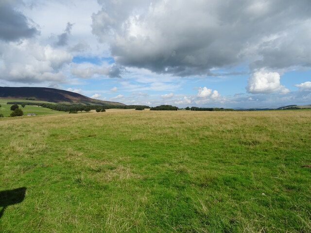
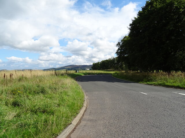
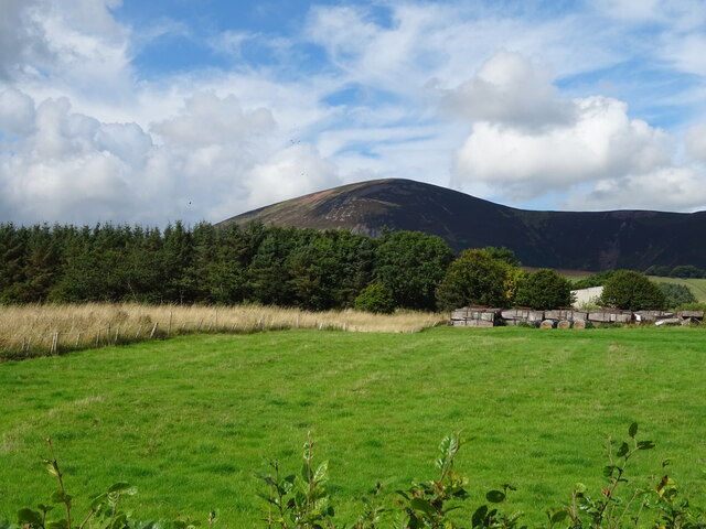
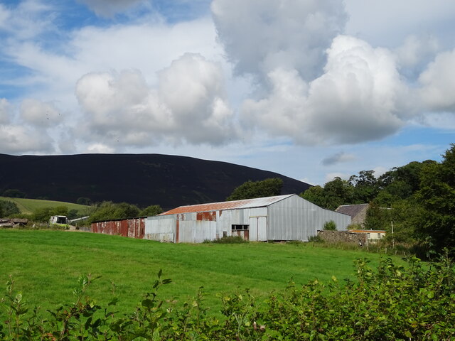
School Plantation is a forested area located in Lanarkshire, Scotland. Covering approximately 50 acres, this woodland is a popular destination for outdoor enthusiasts and nature lovers. The plantation is primarily composed of a mix of broadleaf and coniferous trees, providing a diverse and picturesque landscape.

The woodland features a network of walking trails that wind through the trees, offering visitors the opportunity to explore the natural beauty of the area. These trails vary in difficulty, making them suitable for individuals of all ages and fitness levels.

School Plantation is home to a variety of wildlife, including birds, mammals, and insects. Birdwatchers will delight in the opportunity to spot species such as woodpeckers, owls, and other woodland birds. The woodland is also known for its diverse flora, with wildflowers and ferns adding to the beauty of the landscape.

Visitors to School Plantation can enjoy a peaceful and tranquil environment, perfect for escaping the hustle and bustle of everyday life. Whether taking a leisurely stroll through the trees, birdwatching, or simply enjoying a picnic in the great outdoors, School Plantation offers a relaxing and rejuvenating experience for all who visit.

If you have any feedback on the listing, please let us know in the comments section below.

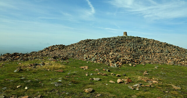
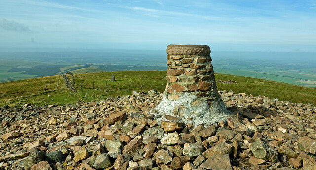
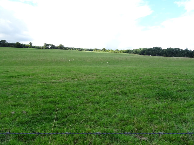
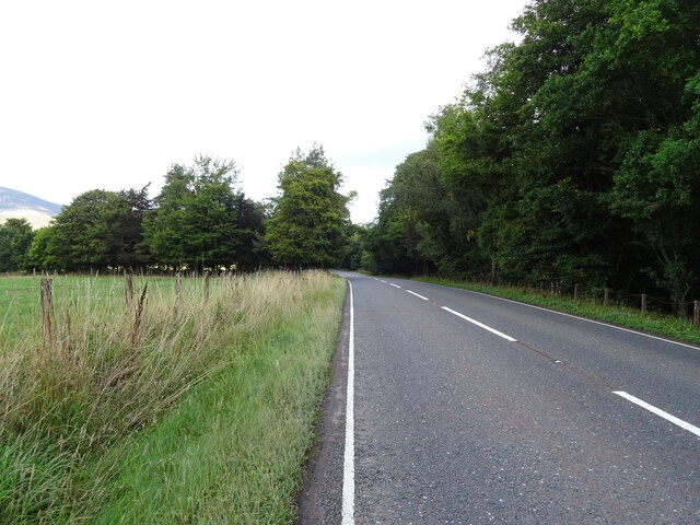
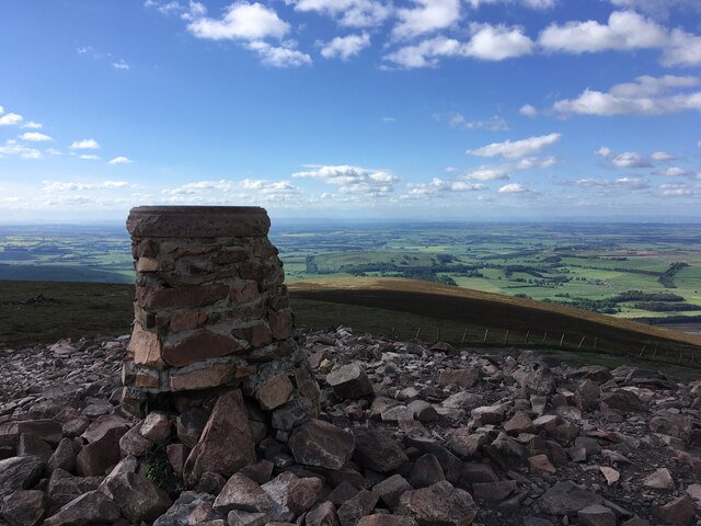
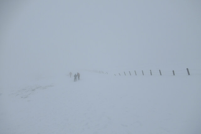
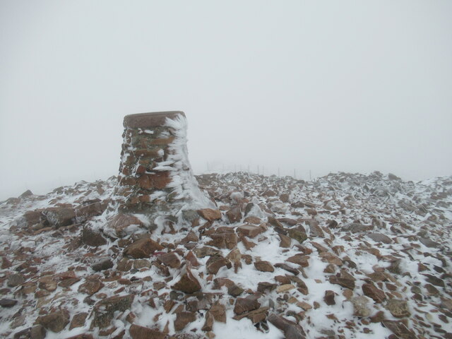
School Plantation Images

Images are sourced within 2km of 55.574306/-3.657443 or Grid Reference NS9532. Thanks to Geograph Open Source API. All images are credited.

Tinto Cairn At 43 metres wide and nearly 6 metres high, this is one of the biggest cairns in Scotland. Dating back to the Bronze Age as a burial cairn, modern visitors often add a stone. It’s a prominent local landmark.
Tinto Cairn
At 43 metres wide and nearly 6 metres high, this is one of the biggest cairns in Scotland. Dating back to the Bronze Age as a burial cairn, modern visitors often add a stone. It’s a prominent local landmark.
From Tinto Cairn Looking towards the trig point on Tinto Hill from the stone cairn on a bright but hazy mid-September day.
From Tinto Cairn
Looking towards the trig point on Tinto Hill from the stone cairn on a bright but hazy mid-September day.
Hillside grazing off the A73
A73 beside woodland Towards Lanark.
A73 beside woodland
Towards Lanark.
A73 approaching junction Heading north towards Lanark.
A73 approaching junction
Heading north towards Lanark.
Grazing near Castledykes
B7055 towards the A702 Off the A73.
B7055 towards the A702
Off the A73.
A73 heading north Towards Lanark.
A73 heading north
Towards Lanark.
Grazing and woodland, Chesterhall
Farm buildings, Chesterhall
Farm buildings, Chesterhall Park Farm
Grazing near Chesterhall Park Farm Off the A73.
Grazing near Chesterhall Park Farm
Off the A73.
A73 towards Lanark
A73 towards Lanark
Summit of Tinto Hill
A wintry day near the summit of Tinto Quite a difference from the bottom of the hill, where I started in bright, crisp conditions. The cloud soon enveloped the hill, and combined with the recent high-ground snowfall (a rarity so far this winter), created a less than colourful scene. The fencelines are a useful guide to prevent straying off-course when the paths are covered in snow.
A wintry day near the summit of Tinto
Quite a difference from the bottom of the hill, where I started in bright, crisp conditions. The cloud soon enveloped the hill, and combined with the recent high-ground snowfall (a rarity so far this winter), created a less than colourful scene. The fencelines are a useful guide to prevent straying off-course when the paths are covered in snow.
Rime on the summit indicator, Tinto A small accumulation of rime ice, caused by cloud droplets freezing on contact with surfaces as moist air is forced up over the hills, can be seen on the pillar.
Rime on the summit indicator, Tinto
A small accumulation of rime ice, caused by cloud droplets freezing on contact with surfaces as moist air is forced up over the hills, can be seen on the pillar.
Wiston village from Marchlands
Tinto Cairn
Tinto Cairn
Show me another place!

School Plantation is located at Grid Ref: NS9532 (Lat: 55.574306, Lng: -3.657443)

Unitary Authority: South Lanarkshire

Police Authority: Lanarkshire

What 3 Words

///piglets.gain.culminate. Near Biggar, South Lanarkshire

Related Wikis

Wiston, South Lanarkshire

Wiston is a small village in South Lanarkshire, Scotland. It is located 13 miles (21 km) south east of Lanark and 8 miles (13 km) south west of Biggar...

Tinto

Tinto is an isolated hill in the Southern Uplands of Scotland. It comprises little more than one top, which stands on the west bank of the River Clyde...

Lamington railway station

Lamington railway station served the village of Lamington, South Lanarkshire, Scotland from 1848 to 1965 on the Caledonian main line. == History == The...

Lamington, South Lanarkshire

Lamington is a conservation village in South Lanarkshire in Scotland, roughly between Biggar and Lanark and sits astride the A702 trunk road. It is reputed...

Nearby Amenities

Located within 500m of 55.574306,-3.657443
East Millrig
Place: locality
Lat/Long: 55.5733583/-3.6634118
Wiston Place Farm
Place: hamlet
Lat/Long: 55.5710048/-3.6575324
Power: pole
Lat/Long: 55.5699222/-3.6568043
Power: pole
Lat/Long: 55.5707165/-3.6569286
Power: pole
Lat/Long: 55.5707595/-3.6569354
Power: pole
Lat/Long: 55.5705896/-3.6580776
Power: pole
Lat/Long: 55.5704449/-3.6594018
Power: pole
Lat/Long: 55.570305/-3.660726
Power: pole
Lat/Long: 55.5708456/-3.6613056
Power: pole
Lat/Long: 55.5714663/-3.6612612
Power: pole
Lat/Long: 55.5722915/-3.6611724
Power: pole
Lat/Long: 55.5728273/-3.6611131
The data included in this document is from www.openstreetmap.org. The data is made available under ODbL.

Have you been to School Plantation?

Leave your review of School Plantation below (or comments, questions and feedback).