Devilla Forest

Wood, Forest in Fife

Scotland

Devilla Forest

A through route to Maggie Duncan's Hill, Devilla Forest
A through route to Maggie Duncan's Hill, Devilla Forest Credit: Richard Webb

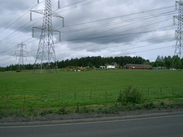
Devilla Forest is a picturesque woodland located in Fife, Scotland. Covering an area of approximately 347 hectares, it is a popular destination for nature enthusiasts, walkers, and outdoor adventurers. The forest is situated near the towns of Kincardine and Culross, making it easily accessible for locals and visitors alike.

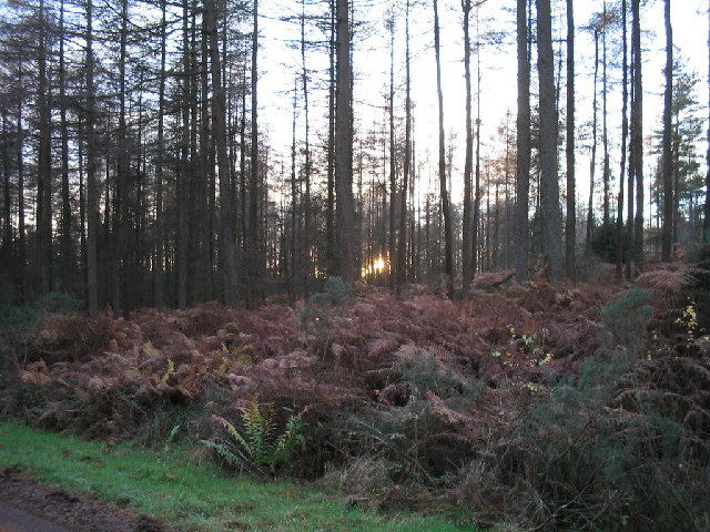
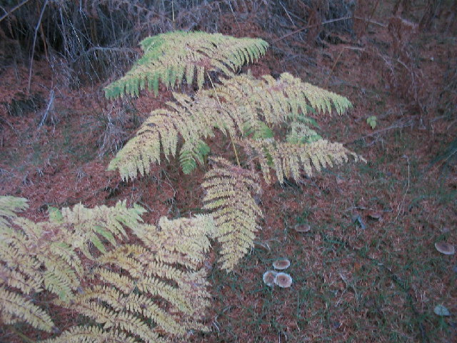
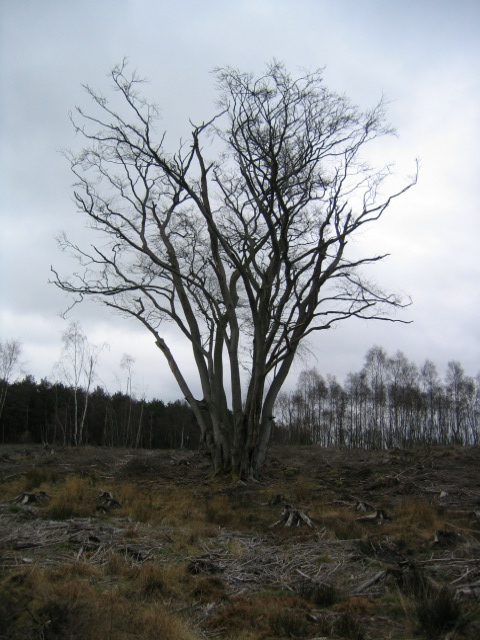
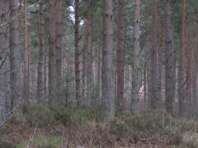
With a rich history dating back centuries, the forest has witnessed various land uses over time. Today, it is primarily managed by Forestry and Land Scotland, ensuring the preservation and maintenance of its natural beauty. Devilla Forest comprises a diverse range of tree species, including oak, beech, birch, and Scots pine, creating a vibrant and enchanting setting throughout the year.

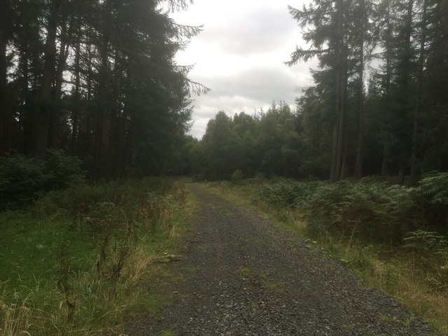
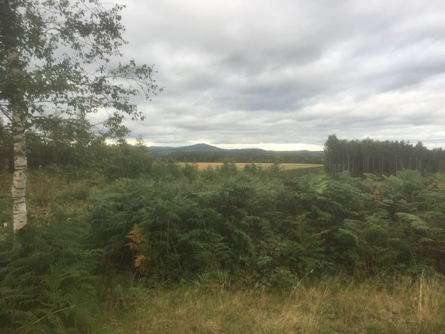
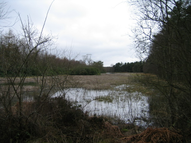
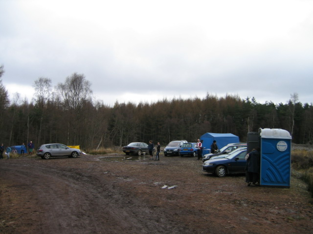
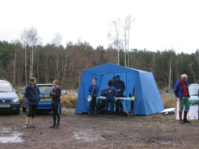
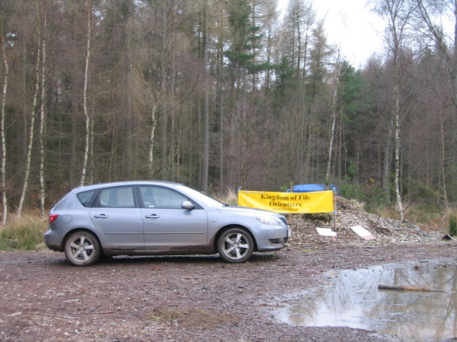
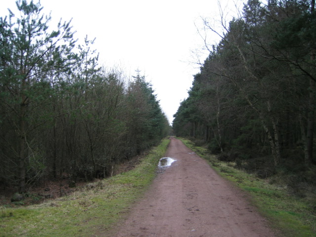
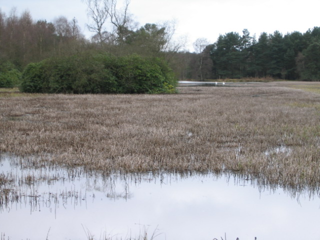
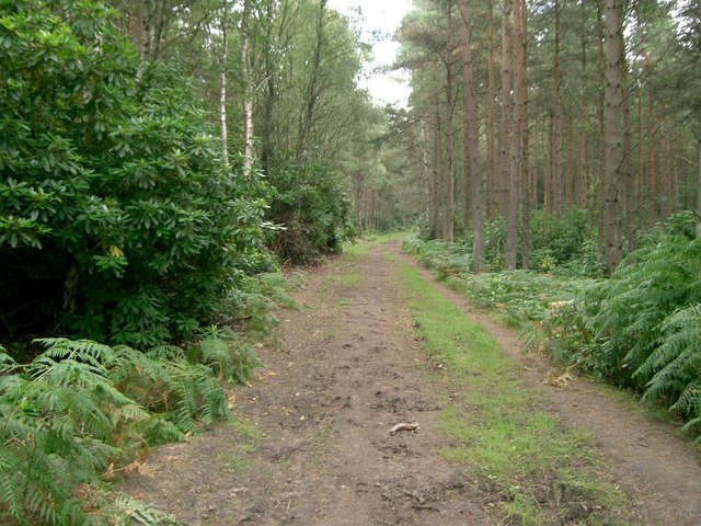
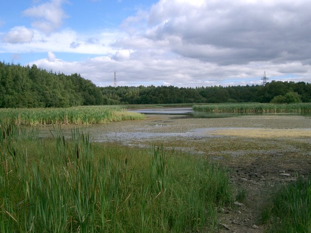
The forest offers an extensive network of well-maintained paths and trails, catering to individuals of all ages and fitness levels. These paths allow visitors to explore the woodland's hidden gems, including tranquil lochs, wildlife habitats, and breathtaking viewpoints. Additionally, Devilla Forest is home to an abundance of wildlife, such as red deer, roe deer, badgers, squirrels, and a variety of bird species, making it a haven for nature enthusiasts and photographers.

Cyclists can also revel in the forest's beauty, as it features dedicated mountain biking trails suitable for both beginners and experienced riders. The trails wind through the forest, offering an exhilarating experience amidst the lush greenery.

Devilla Forest is not only a natural gem but also a place of historical significance. Ruins of the 16th-century Preston Tower can be found within the woodland, adding a touch of intrigue to the overall atmosphere.

Overall, Devilla Forest provides a serene and captivating experience for those seeking to immerse themselves in nature and explore the wonders of Fife's woodlands.

If you have any feedback on the listing, please let us know in the comments section below.

Devilla Forest Images

Images are sourced within 2km of 56.078291/-3.6803059 or Grid Reference NS9588. Thanks to Geograph Open Source API. All images are credited.

A through route to Maggie Duncan's Hill, Devilla Forest
View from Peat Hill, Devilla
Devilla Forest at sunset The forest is a haven for horse riders.  Red squirrels and deer are often seen.
Devilla Forest at sunset
The forest is a haven for horse riders. Red squirrels and deer are often seen.
The forest floor Rich autumn colours on the ground in this largely coniferous forest.
The forest floor
Rich autumn colours on the ground in this largely coniferous forest.
Devilla Forest Solitary tree in an area of clearfell taken while at an orienteering event in the forest.
Devilla Forest
Solitary tree in an area of clearfell taken while at an orienteering event in the forest.
Keir Dam, Sawmill Plantation I think I read somewhere that the water from the pond was used for some local industry but I can't remember what.  Perhaps someone could help ?
Keir Dam, Sawmill Plantation
I think I read somewhere that the water from the pond was used for some local industry but I can't remember what. Perhaps someone could help ?
Sawmill Plantation, Devilla Forest Scots Pine with a pile of cut timber.
Sawmill Plantation, Devilla Forest
Scots Pine with a pile of cut timber.
SOSOL9, Devilla Forest An orienteering event in the forest for the South of Scotland Orienteering League.
SOSOL9, Devilla Forest
An orienteering event in the forest for the South of Scotland Orienteering League.
After Their Run Most Sundays, the length and breadth of the country you will find slightly deranged people braving all weathers fighting through thickets, wading across marshes, traversing open fells in the pursuit of the perfect run.
After Their Run
Most Sundays, the length and breadth of the country you will find slightly deranged people braving all weathers fighting through thickets, wading across marshes, traversing open fells in the pursuit of the perfect run.
KFO  A blatant plug for Kingdom of Fife Orienteers who adapted well when the generator powering the computers which download the information from the electronic controls packed in just before the start of the event.
KFO
A blatant plug for Kingdom of Fife Orienteers who adapted well when the generator powering the computers which download the information from the electronic controls packed in just before the start of the event.
Forestry Track, Devilla The forest is popular for walking, horse riding, mountain biking and orienteering.
Forestry Track, Devilla
The forest is popular for walking, horse riding, mountain biking and orienteering.
Swans on Keir Dam You might just be able to see 2 small white blobs in the middle distance.  The pond is now somewhat overgrown with reeds.
Swans on Keir Dam
You might just be able to see 2 small white blobs in the middle distance. The pond is now somewhat overgrown with reeds.
Pylons Coming from Longannet Power Station.
Pylons
Coming from Longannet Power Station.
Forest Road Leading through Devilla Forest to Righead Farm.
Forest Road
Leading through Devilla Forest to Righead Farm.
Countryside Looking north to The Ochill Hills.
Countryside
Looking north to The Ochill Hills.
Bordie Looking west to Bordie, the road on the right of the picture is the A985[T] from Rosyth to Kincardine.
Bordie
Looking west to Bordie, the road on the right of the picture is the A985[T] from Rosyth to Kincardine.
Forest track In Keir Plantation east of Kincardine.
Forest track
In Keir Plantation east of Kincardine.
Moor Loch Looking east across a partially dried up Moor Loch.
Moor Loch
Looking east across a partially dried up Moor Loch.
Show me another place!

Devilla Forest is located at Grid Ref: NS9588 (Lat: 56.078291, Lng: -3.6803059)

Unitary Authority: Fife

Police Authority: Fife

What 3 Words

///station.tame.fluctuate. Near Kincardine, Fife

Related Wikis

Nearby Amenities

Located within 500m of 56.078291,-3.6803059
Keir Plantation
Natural: wood
Lat/Long: 56.0760462/-3.6872864
The data included in this document is from www.openstreetmap.org. The data is made available under ODbL.

Have you been to Devilla Forest?

Leave your review of Devilla Forest below (or comments, questions and feedback).