Keir Plantation
Wood, Forest in Fife
Scotland
Keir Plantation
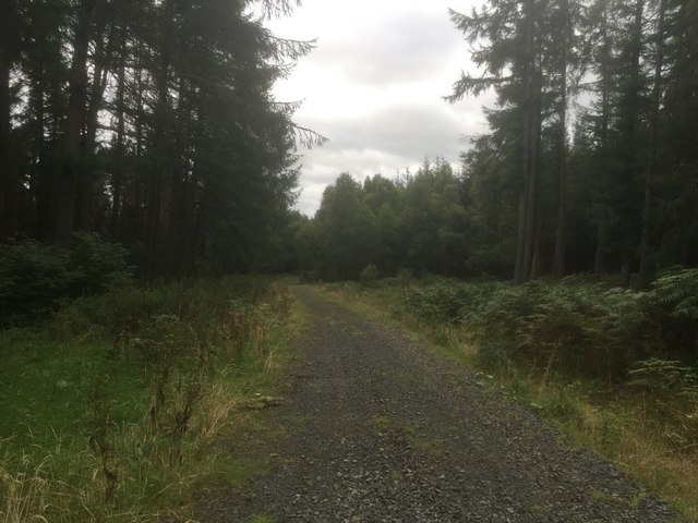
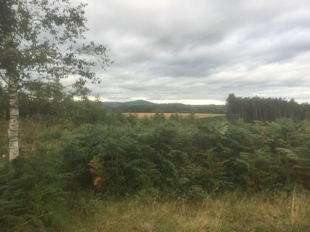
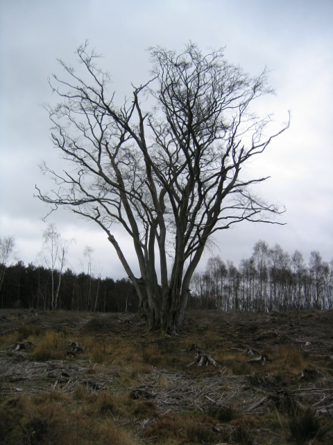
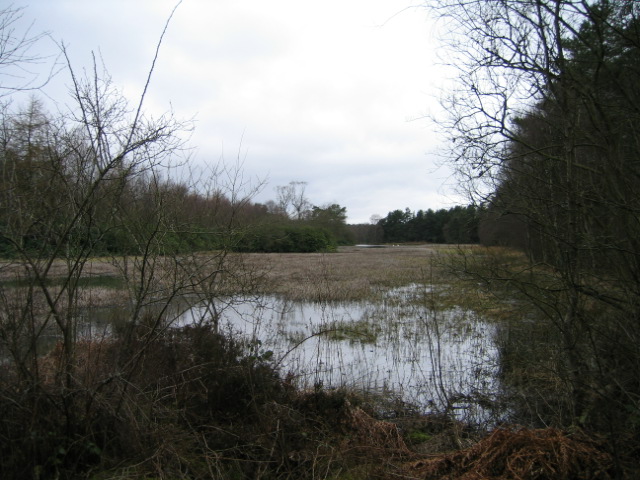
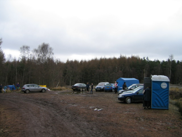
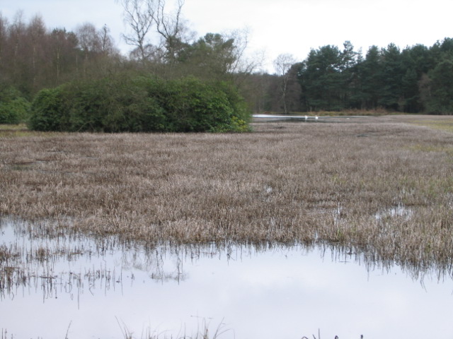
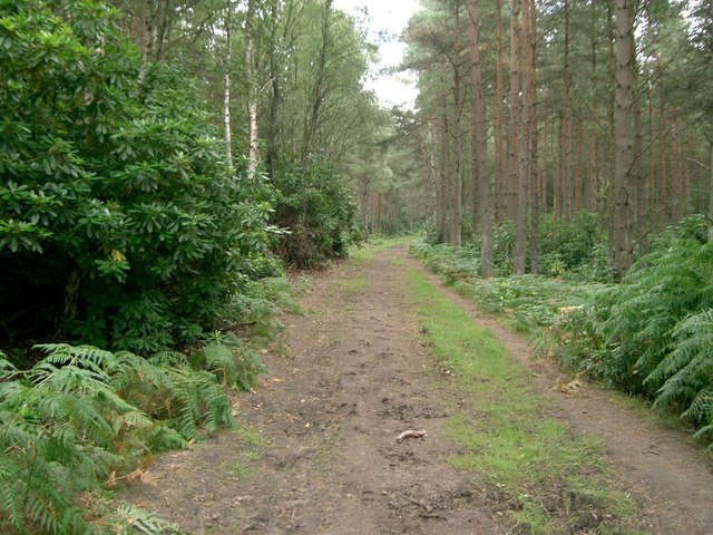
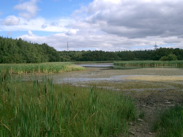
Keir Plantation is a sprawling woodland located in Fife, Scotland. Covering an area of approximately 200 hectares, it is a significant and well-preserved forest, attracting nature enthusiasts, hikers, and wildlife observers alike.
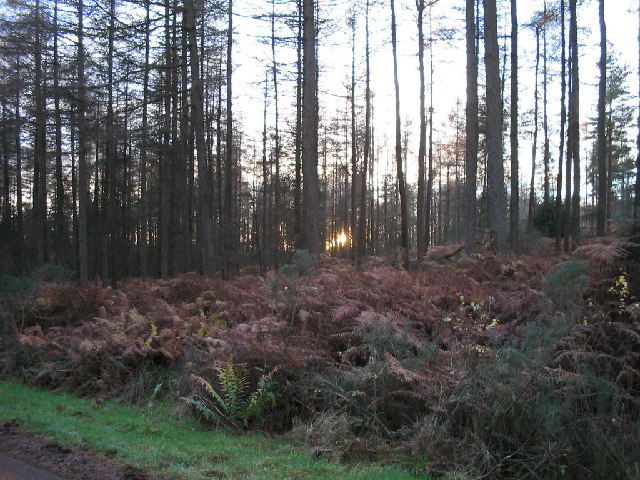
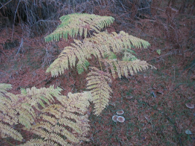
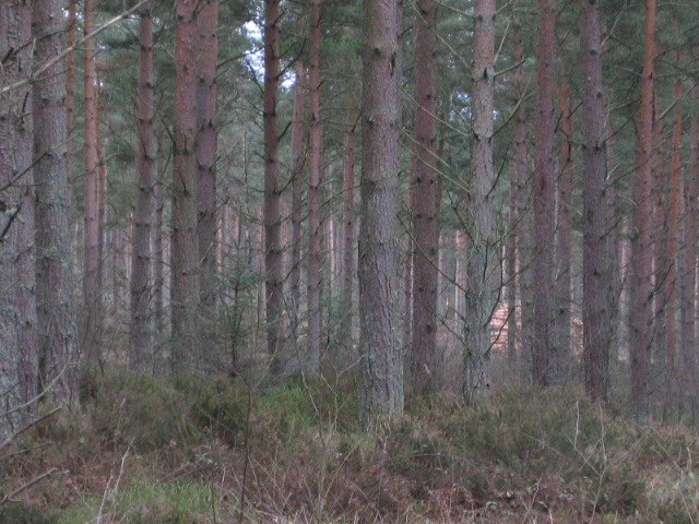
The plantation primarily consists of a diverse range of tree species, including oak, beech, birch, and Scots pine. This rich variety of flora provides a lush and vibrant habitat for various wildlife species. Keir Plantation is particularly renowned for its population of red squirrels, which can be spotted darting amongst the trees. Additionally, the forest is home to an array of bird species, such as woodpeckers and owls, which can be heard and seen throughout the year.
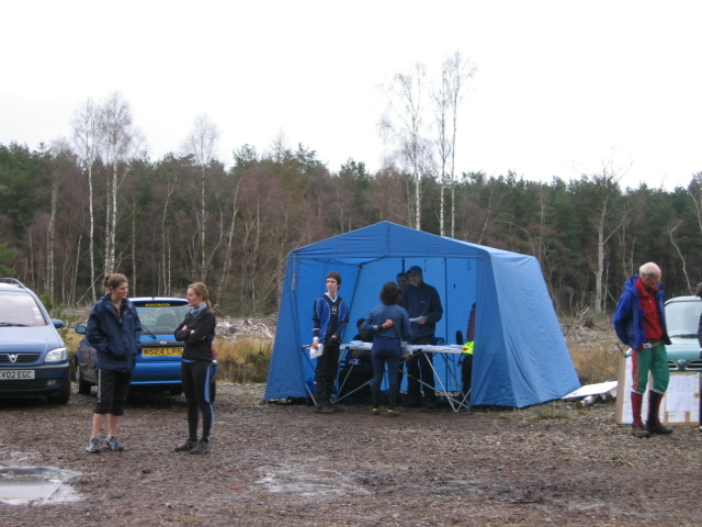
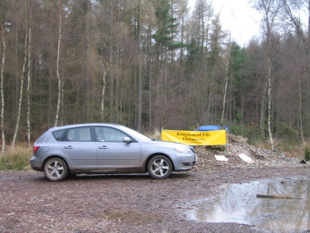
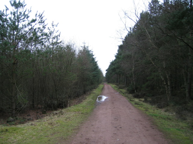
Visitors to Keir Plantation can explore a network of well-maintained trails and paths that wind through the woodland. These paths offer breathtaking views of the surrounding landscape and provide an opportunity to immerse oneself in the peaceful ambiance of the forest. The plantation also features several picnic areas and benches, allowing visitors to relax and enjoy the tranquility of the natural surroundings.
The management of Keir Plantation is committed to sustainable forestry practices, ensuring the preservation of the woodland's ecological balance. Regular maintenance, including tree thinning and replanting, is carried out to maintain the health and vitality of the forest.
Overall, Keir Plantation is a cherished natural asset in Fife, providing a haven for both flora and fauna and offering a welcoming environment for visitors to connect with nature.
If you have any feedback on the listing, please let us know in the comments section below.
Keir Plantation Images
Images are sourced within 2km of 56.077234/-3.685948 or Grid Reference NS9588. Thanks to Geograph Open Source API. All images are credited.
![Bordie Looking west to Bordie, the road on the right of the picture is the A985[T] from Rosyth to Kincardine.](https://s2.geograph.org.uk/photos/21/65/216502_3f61d21f.jpg)
Keir Plantation is located at Grid Ref: NS9588 (Lat: 56.077234, Lng: -3.685948)
Unitary Authority: Fife
Police Authority: Fife
What 3 Words
///changing.premature.mule. Near Kincardine, Fife
Nearby Locations
Related Wikis

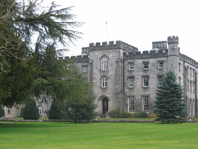
Tulliallan Castle
Tulliallan Castle is a large house in Kincardine, Fife, Scotland. It is the second structure to have the name, and is a mixture of Gothic and Italian style...

Longannet coal mine
Longannet coal mine was a deep mine complex in Fife, Scotland. == History == Longannet was the remnant of three mines, established in the 1960s. Built...
Kincardine, Fife
Kincardine ( kin-KAR-din; Scottish Gaelic: Cinn Chàrdainn) or Kincardine-on-Forth is a small town on the north shore of the Firth of Forth, in Fife, Scotland...

Tulliallan
Tulliallan (Gaelic tulach-aluinn, 'Beautiful knoll') was an estate in Perthshire, Scotland, near to Kincardine, and a parish. The Blackadder lairds of...
Kincardine railway station
Kincardine railway station served the town of Kincardine, Fife, Scotland from 1893 to 1930 on the Kincardine Line. == History == The station opened on...
Kilbagie railway station
Kilbagie railway station served the town of Clackmannan, Clackmannanshire, Scotland from 1894 to 1930 on the Kincardine Line. == History == The station...

Bogside (Fife) railway station
Bogside (Fife) railway station served the hamlet of Bogside, Fife, Scotland from 1850 to 1958 on the Stirling and Dunfermline Railway. == History == The...
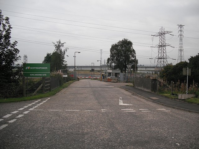
Kincardine power station
Kincardine power station was a 760 MW coal-fired power station on the shores of the upper Firth of Forth by Kincardine on Forth, Fife, Scotland. ��2�...
Nearby Amenities
Located within 500m of 56.077234,-3.685948Have you been to Keir Plantation?
Leave your review of Keir Plantation below (or comments, questions and feedback).