Redbraehead Wood

Wood, Forest in Lanarkshire

Scotland

Redbraehead Wood

River Clyde Crossing the River Clyde on the WCML.
River Clyde Credit: Peter McDermott

Redbraehead Wood is a picturesque forest located in Lanarkshire, Scotland. Covering an area of approximately 50 acres, it is a popular destination for nature lovers and outdoor enthusiasts. The wood is situated near the small village of Redbraehead, which adds to its charm and accessibility.

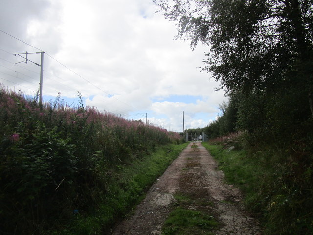
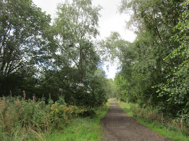
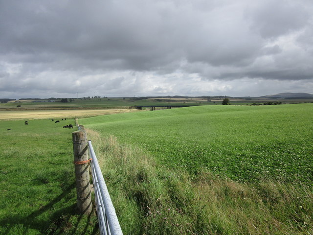
The forest is predominantly composed of native tree species, including oak, birch, and pine, creating a diverse and lush habitat for various wildlife. Visitors can explore the well-maintained trails that wind through the wood, offering opportunities for peaceful walks, birdwatching, and photography. The paths are generally easy to navigate, suitable for people of all ages and fitness levels.

One of the highlights of Redbraehead Wood is its tranquil atmosphere. The dense tree cover provides a sense of seclusion and serenity, making it an ideal place for relaxation and contemplation. The forest also boasts a rich biodiversity, with numerous bird species, small mammals, and insects calling it home.

In addition to its natural beauty, Redbraehead Wood has historical significance. It is believed to have been a part of the ancient Caledonian Forest that covered much of Scotland in the past. The wood has survived through generations, preserving its unique ecosystem and serving as a reminder of the region's natural heritage.

Overall, Redbraehead Wood offers a peaceful retreat from the hustle and bustle of everyday life. It is a place where visitors can connect with nature, enjoy scenic walks, and appreciate the beauty of the Scottish landscape.

If you have any feedback on the listing, please let us know in the comments section below.

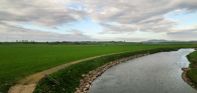
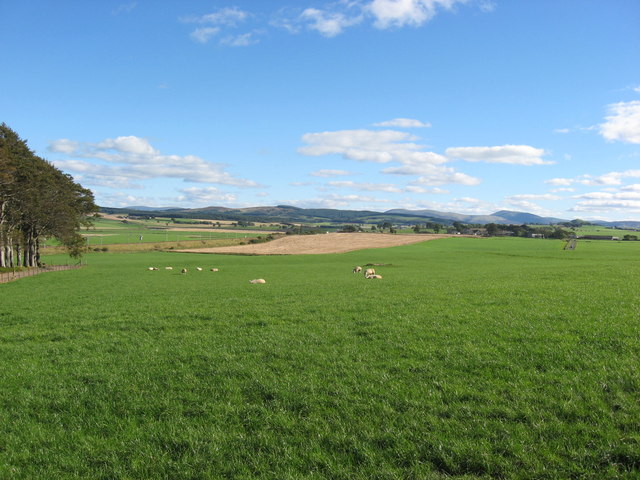
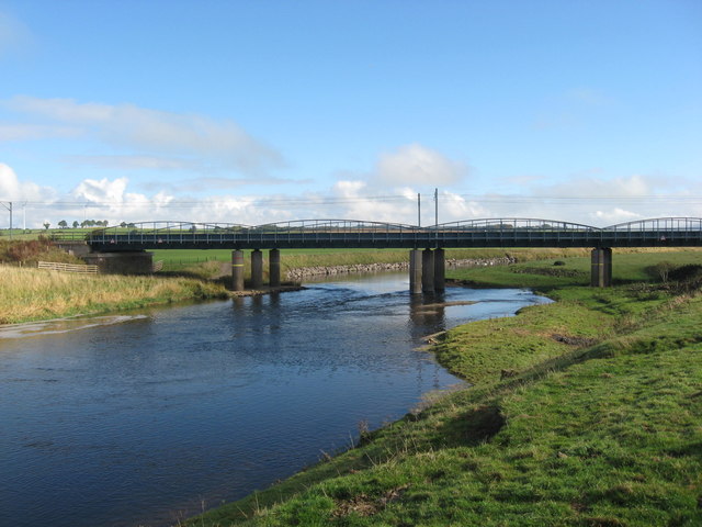
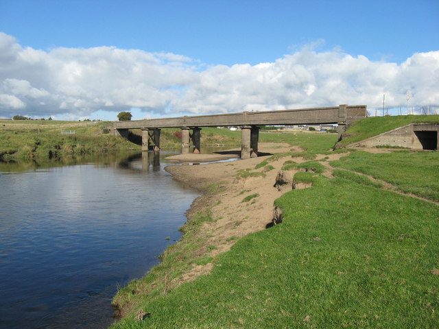
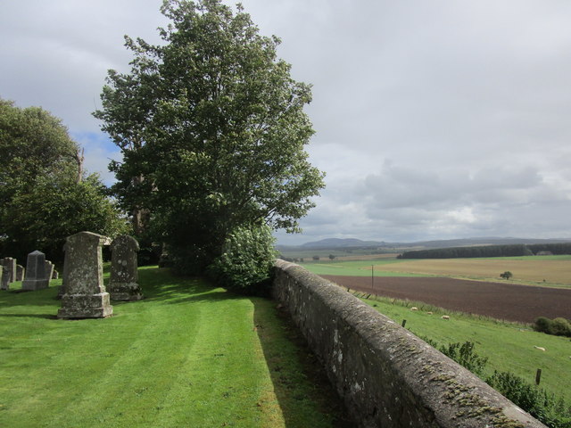
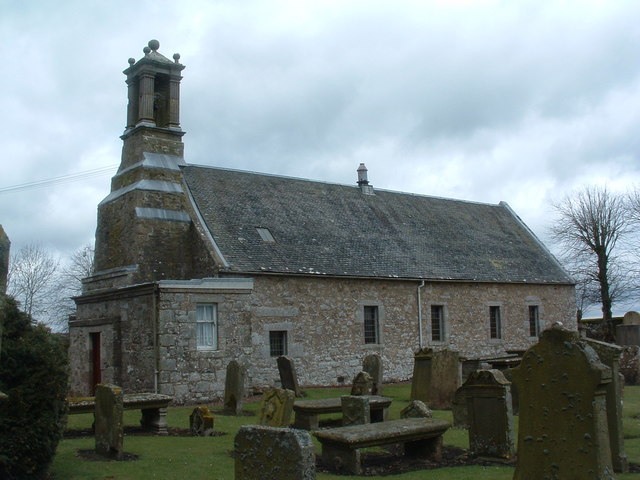
Redbraehead Wood Images

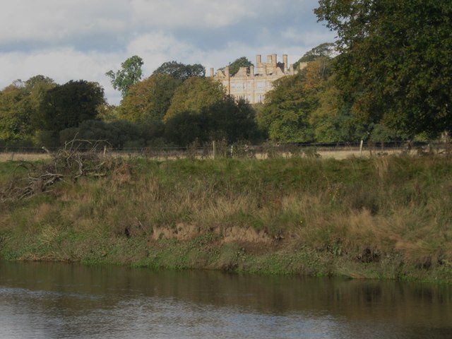
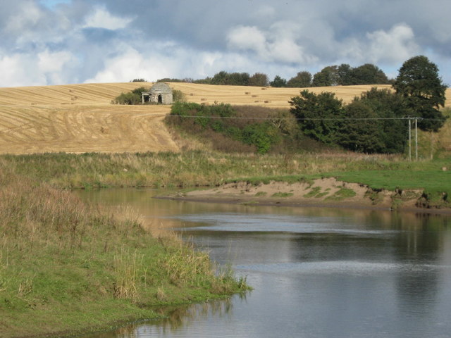
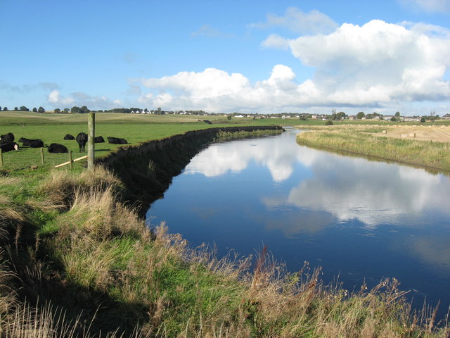
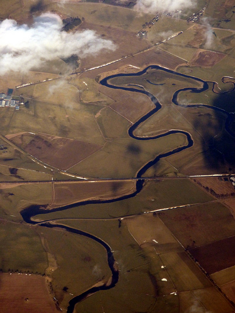
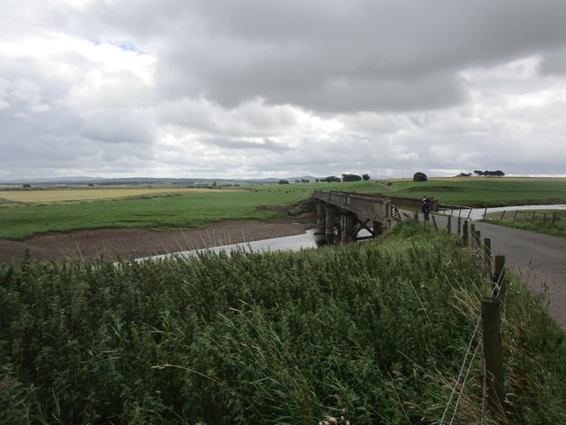
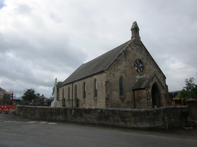
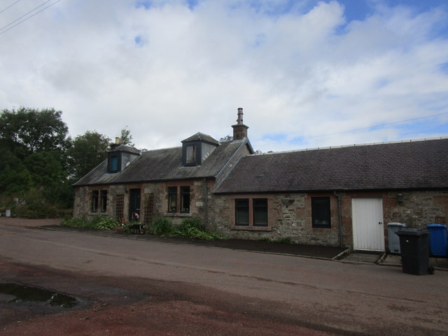
Images are sourced within 2km of 55.683381/-3.6710258 or Grid Reference NS9544. Thanks to Geograph Open Source API. All images are credited.

River Clyde Crossing the River Clyde on the WCML.
River Clyde
Crossing the River Clyde on the WCML.
View from Eastfield Farm The photo shows the general landscape looking south from the farm.
Eastfield Farm lies close to the River Clyde.
View from Eastfield Farm
The photo shows the general landscape looking south from the farm. Eastfield Farm lies close to the River Clyde.
The River Clyde Railway Bridge crossing the Clyde to the Southeast of Carstairs Junction.
The River Clyde
Railway Bridge crossing the Clyde to the Southeast of Carstairs Junction.
The River Clyde Minor road bridge crossing the Clyde to the south of Carstairs Junction.
This road leads to Eastfield Farm and the village of Pettinain.
The River Clyde
Minor road bridge crossing the Clyde to the south of Carstairs Junction. This road leads to Eastfield Farm and the village of Pettinain.
Monteith House Viewed from across the River Clyde.
Monteith House
Viewed from across the River Clyde.
The Mausoleum Seen across the River Clyde the Mausoleum is near to Montieth House.
The Mausoleum
Seen across the River Clyde the Mausoleum is near to Montieth House.
The River Clyde Looking downstream with Carstairs Junction in the distance.
The River Clyde
Looking downstream with Carstairs Junction in the distance.
The Carstairs meanders from the air Looking upstream towards the West Coast Main Line railway.
The Carstairs meanders from the air
Looking upstream towards the West Coast Main Line railway.
The Carstairs meanders from the air Looking upstream, Carstairs Junction village is visible on the left.
The Carstairs meanders from the air
Looking upstream, Carstairs Junction village is visible on the left.
Houses on Lanark Road, Carstairs
Track to the sewage works, Carstairs Runs alongside The West Coast Main Line.
Track to the sewage works, Carstairs
Runs alongside The West Coast Main Line.
Track to Westwalk Wood
Grass field near Carstairs Mains
Bridge over the River Clyde Has a 3.5 ton weight limit.
Two weeks after taking this picture the bridge was closed because it was considered unsafe.
Bridge over the River Clyde
Has a 3.5 ton weight limit. Two weeks after taking this picture the bridge was closed because it was considered unsafe.
Former church, Carstairs Junction Dates from 1879 and now converted to a house.
Former church, Carstairs Junction
Dates from 1879 and now converted to a house.
Cottages, Pettinain
Cottages, Pettinain
Fence and railway bridge over the River Clyde
Churchyard wall, Pettinain The church stands at the top of a steep bank which drops down to the Pettinain Burn.
Churchyard wall, Pettinain
The church stands at the top of a steep bank which drops down to the Pettinain Burn.
Show me another place!

Redbraehead Wood is located at Grid Ref: NS9544 (Lat: 55.683381, Lng: -3.6710258)

Unitary Authority: South Lanarkshire

Police Authority: Lanarkshire

What 3 Words

///whistling.pizza.animates. Near Carnwath, South Lanarkshire

Nearby Locations

Redbraehead Wood

Related Wikis

Carstairs Junction

Carstairs Junction (Scottish Gaelic: Snaim Caisteal Tarrais) is a village in South Lanarkshire. Taking its name from the village of Carstairs and nearby...

Carstairs railway station

Carstairs railway station serves the village of Carstairs in South Lanarkshire, Scotland and is a major junction station on the West Coast Main Line (WCML...

Carstairs House

Carstairs House, also known as Monteith House, is a country house 1.5 kilometres (0.93 mi) south-west of Carstairs South Lanarkshire, Scotland. The house...

Pettinain

Pettinain is a hamlet and civil parish in South Lanarkshire, Scotland, 7 miles (11 km) east of Lanark. Bartholomew's Gazetteer of the British Isles described...

Nearby Amenities

Located within 500m of 55.683381,-3.6710258
Man Made: tower
Tower Type: communication
Lat/Long: 55.6831306/-3.675085
Carstairs House, Mausoleum
HS Ref: LB6626
Heritage: yes
Heritage Operator: Historic Environment Scotland
Historic: tomb
Listed Date: 12 Jan 1971
Listed Status: Category B
Memorial: yes
Tomb: mausoleum
Wikidata: Q17847702
Lat/Long: 55.6800055/-3.671137
Power: pole
Lat/Long: 55.6874475/-3.6688965
Power: pole
Lat/Long: 55.6866283/-3.6690615
Power: pole
Lat/Long: 55.6859415/-3.6691926
Power: pole
Lat/Long: 55.6850686/-3.6691588
Power: pole
Lat/Long: 55.6840144/-3.6691419
Power: pole
Lat/Long: 55.6833573/-3.668613
Power: pole
Lat/Long: 55.6828159/-3.66819
Power: pole
Lat/Long: 55.682216/-3.6676929
Power: pole
Lat/Long: 55.6816042/-3.6671979
Power: pole
Lat/Long: 55.6808529/-3.6666077
Power: pole
Lat/Long: 55.6805022/-3.6663137
Power: pole
Lat/Long: 55.6800836/-3.6659773
Power: pole
Lat/Long: 55.6796566/-3.6670667
Power: pole
Lat/Long: 55.6792249/-3.6681371
Power: pole
Lat/Long: 55.6797318/-3.6750775
Power: pole
Lat/Long: 55.6803293/-3.6757353
Power: pole
Lat/Long: 55.6809793/-3.6764672
Power: pole
Lat/Long: 55.6816591/-3.6772287
Power: pole
Lat/Long: 55.6821755/-3.6778062
Power: pole
Lat/Long: 55.6829041/-3.6786206
Power: pole
Lat/Long: 55.6872162/-3.6677563
Power: pole
Lat/Long: 55.6865329/-3.6679192
Power: pole
Lat/Long: 55.6859498/-3.6680863
Power: pole
Lat/Long: 55.6853464/-3.6682407
Power: pole
Lat/Long: 55.6847239/-3.6677563
Power: pole
Lat/Long: 55.6840907/-3.6672634
Power: pole
Lat/Long: 55.6833468/-3.6666624
Power: pole
Lat/Long: 55.6829125/-3.6663116
Power: pole
Lat/Long: 55.6823162/-3.665861
Power: pole
Lat/Long: 55.681671/-3.6653427
Power: pole
Lat/Long: 55.6810902/-3.6648901
Power: pole
Lat/Long: 55.6805929/-3.665
Power: pole
Lat/Long: 55.6838737/-3.6653787
Power: pole
Lat/Long: 55.6843018/-3.664338
The data included in this document is from www.openstreetmap.org. The data is made available under ODbL.

Have you been to Redbraehead Wood?

Leave your review of Redbraehead Wood below (or comments, questions and feedback).