Moss Wood
Wood, Forest in West Lothian
Scotland
Moss Wood
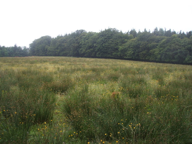
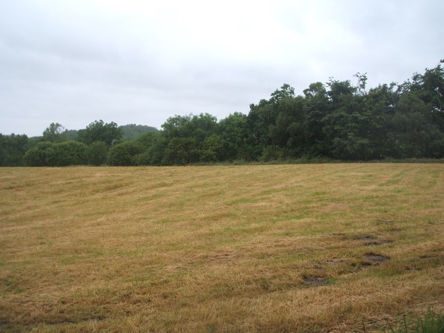
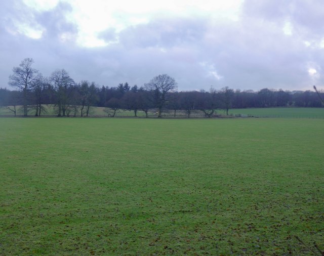
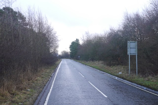
Moss Wood is a picturesque woodland located in West Lothian, Scotland. Spanning over several hectares, this enchanting forest is a haven for nature lovers and wildlife enthusiasts alike. The wood is characterized by its dense canopy of trees, which include a variety of native species such as oak, beech, and birch. The forest floor is covered in a thick carpet of moss, giving the wood its name and adding to its unique and serene atmosphere.
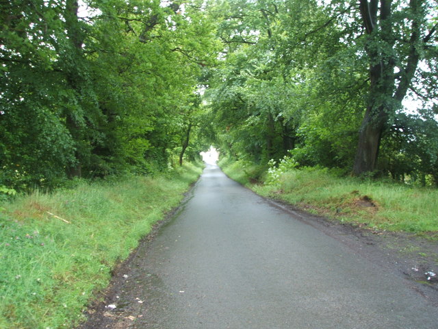
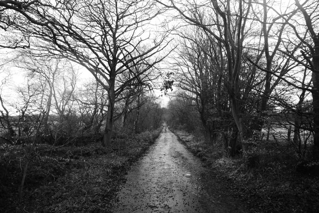
Moss Wood offers a tranquil escape from the hustle and bustle of everyday life. Visitors can explore the network of well-maintained walking trails that wind their way through the wood, allowing for peaceful strolls amidst nature's beauty. The trails provide opportunities to observe the diverse flora and fauna of the area, including colorful wildflowers, ferns, and various species of birds and small mammals.
The wood is also home to a small pond, which serves as a watering hole for wildlife. This provides an excellent opportunity for nature enthusiasts to spot frogs, newts, and a variety of aquatic insects. Additionally, the pond attracts a range of bird species, making it a popular spot for birdwatching.
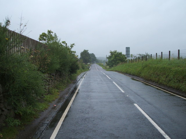
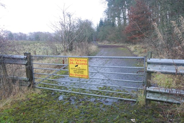
Moss Wood is easily accessible, with a car park located nearby for the convenience of visitors. Whether you are seeking a peaceful retreat, a place for outdoor activities, or simply a chance to reconnect with nature, Moss Wood in West Lothian is sure to captivate and inspire.
If you have any feedback on the listing, please let us know in the comments section below.
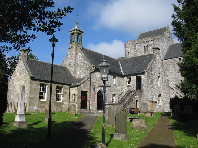
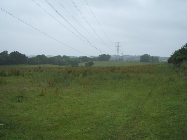
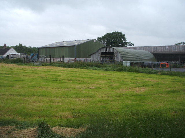
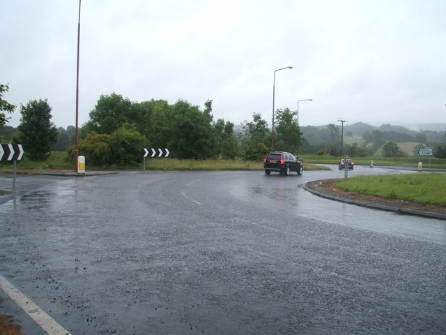
Moss Wood Images
Images are sourced within 2km of 55.929268/-3.6820603 or Grid Reference NS9571. Thanks to Geograph Open Source API. All images are credited.
Moss Wood is located at Grid Ref: NS9571 (Lat: 55.929268, Lng: -3.6820603)
Unitary Authority: West Lothian
Police Authority: The Lothians and Scottish Borders
What 3 Words
///beams.jazz.uplifting. Near Bathgate, West Lothian
Nearby Locations
Related Wikis

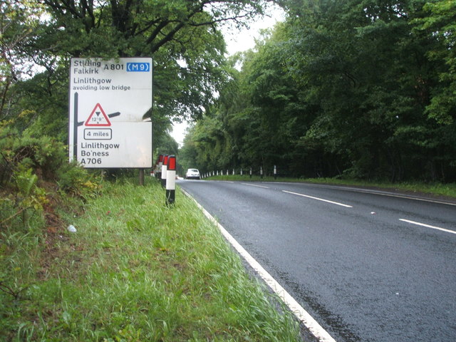
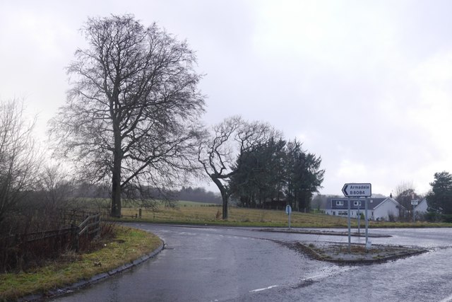
A801 road
The A801 is a road in Scotland which runs from east of Polmont to the A705 near Whitburn that heads towards Livingston in the other direction. The A801...

Bridge Castle
Bridge Castle is an L-plan castle, dating from the 16th century, standing on a rocky site 3 miles (4.8 km) north west of Bathgate in West Lothian, Scotland...

Westfield, West Lothian
Westfield (Scottish Gaelic: an t-Achadh Siar) is a small village of around 180 houses located in the parish of Torphichen in West Lothian, Scotland....
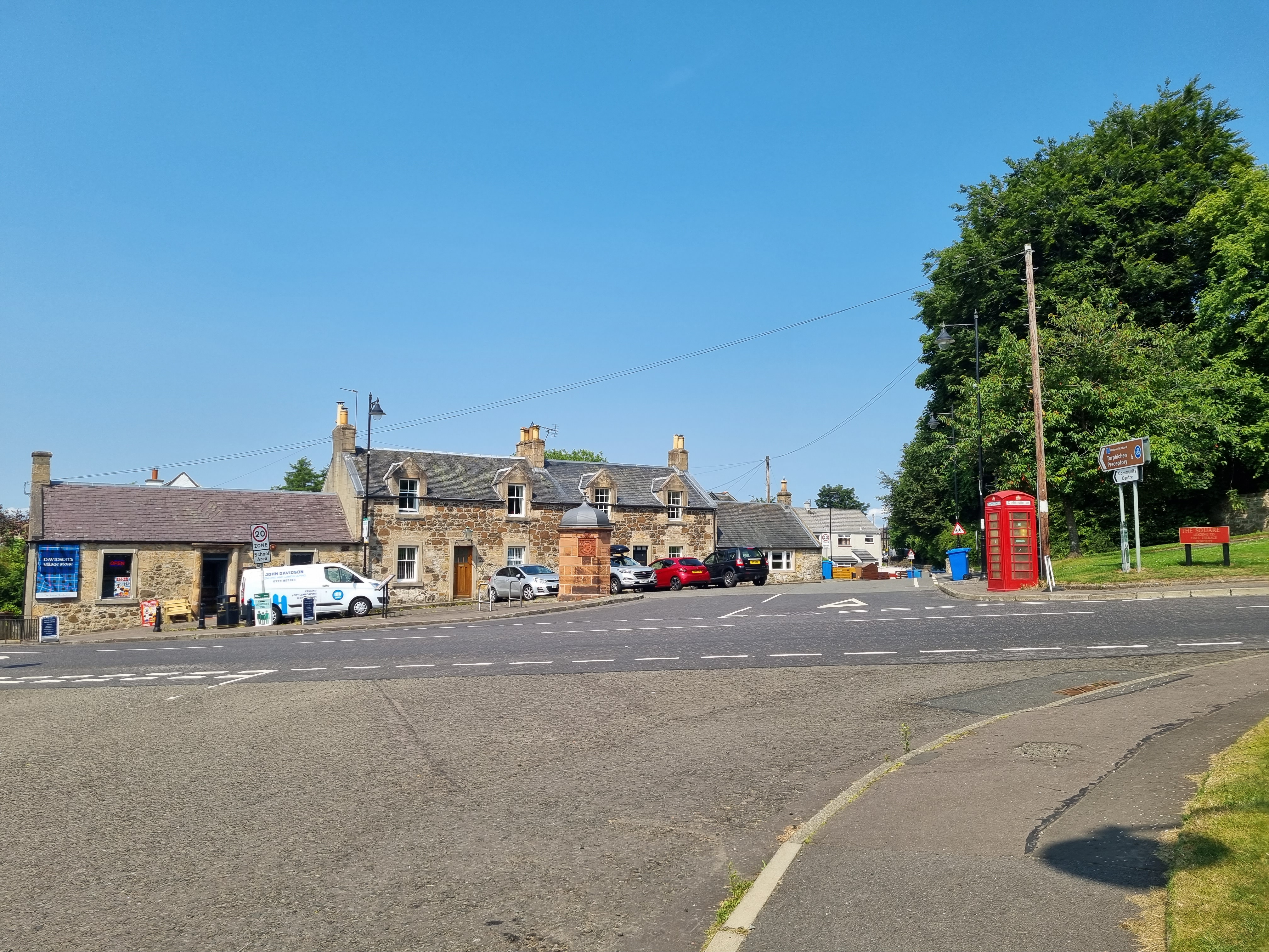
Torphichen
Torphichen ( tor-FIKH-ən) is a historic small village located north of Bathgate in West Lothian, Scotland. The village is approximately 18 miles (29 km...
Nearby Amenities
Located within 500m of 55.929268,-3.6820603Have you been to Moss Wood?
Leave your review of Moss Wood below (or comments, questions and feedback).