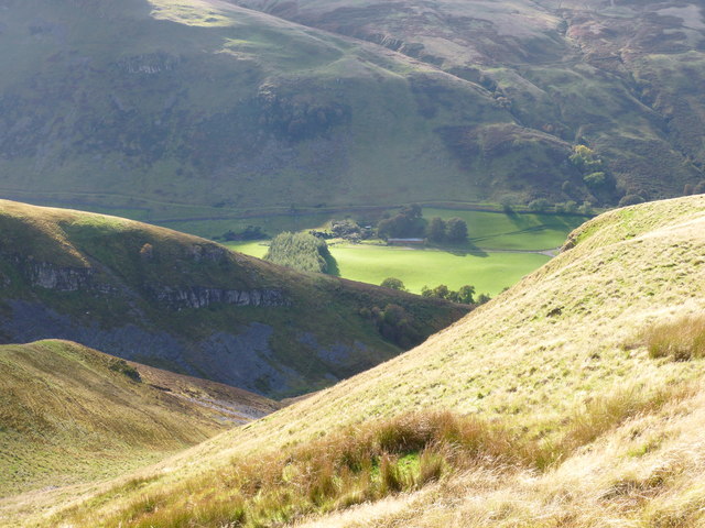
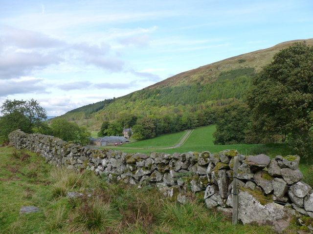
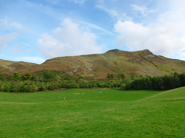
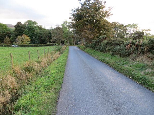
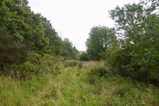
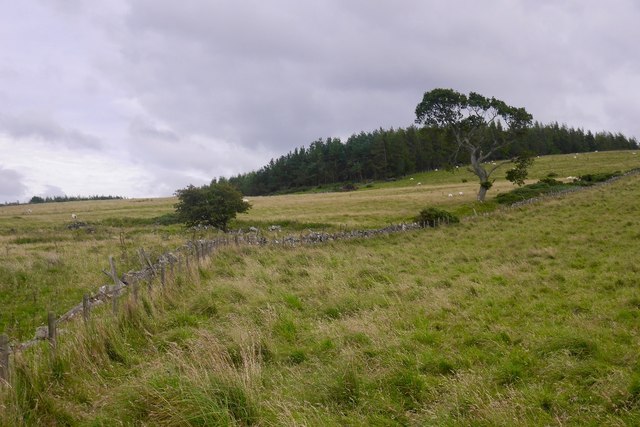
Eastmains Strip
Wood, Forest in Perthshire
Scotland
Eastmains Strip
The requested URL returned error: 429 Too Many Requests
If you have any feedback on the listing, please let us know in the comments section below.
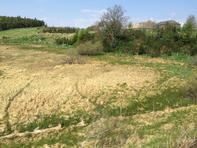
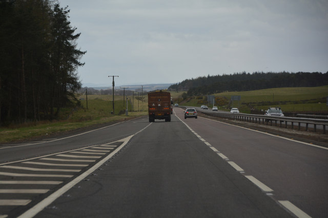
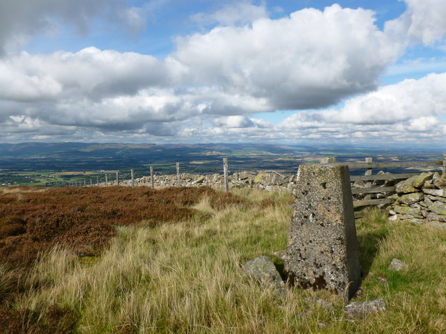
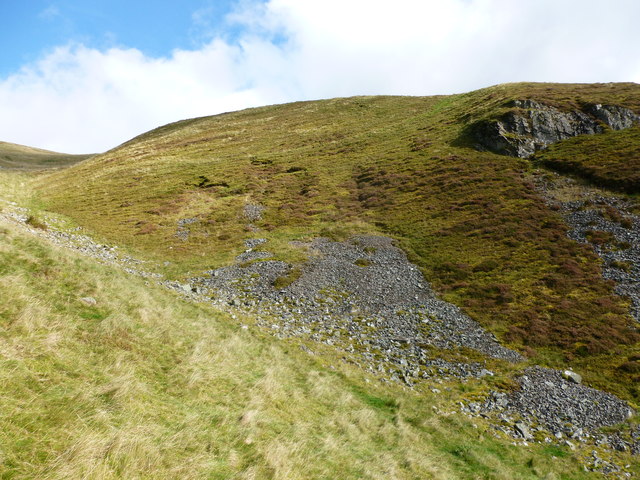
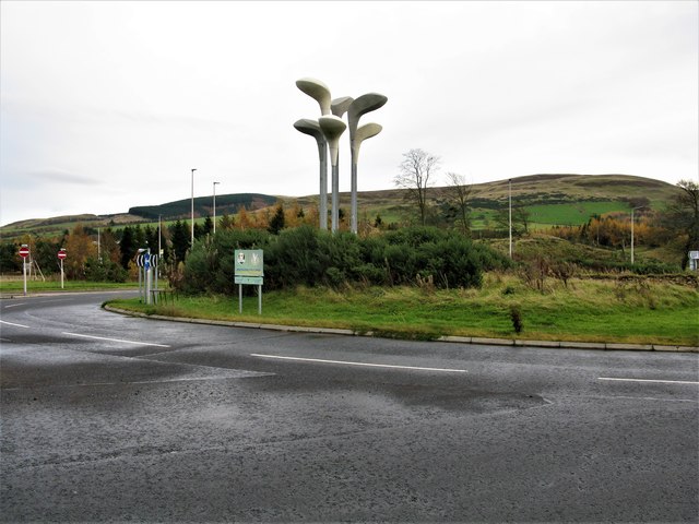
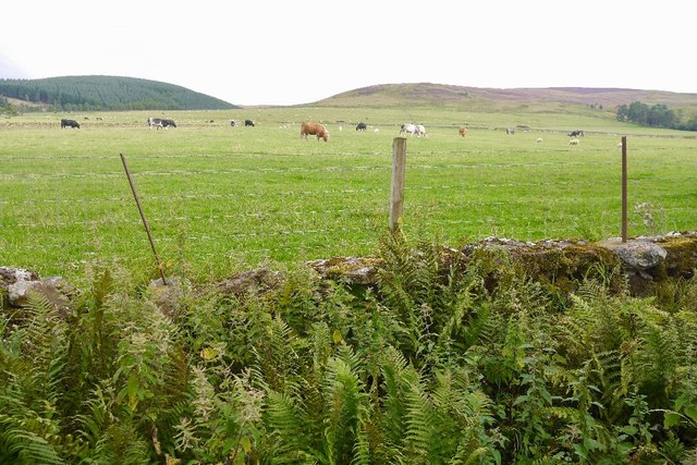
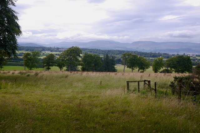
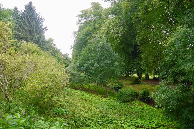
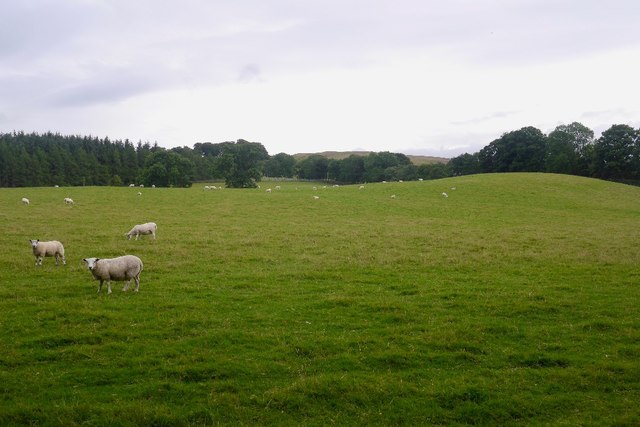
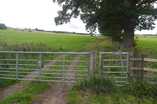
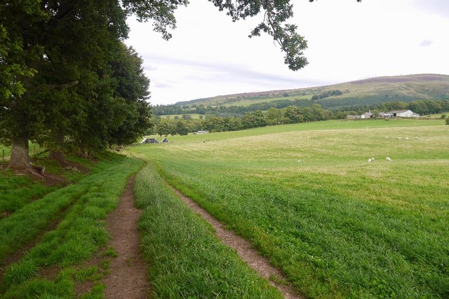
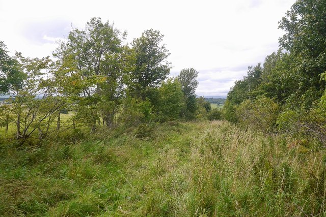
Eastmains Strip Images
Images are sourced within 2km of 56.259198/-3.7199994 or Grid Reference NN9308. Thanks to Geograph Open Source API. All images are credited.
Eastmains Strip is located at Grid Ref: NN9308 (Lat: 56.259198, Lng: -3.7199994)
Unitary Authority: Perth and Kinross
Police Authority: Tayside
What 3 Words
///scanty.mimic.tubes. Near Auchterarder, Perth & Kinross
Nearby Locations
Related Wikis
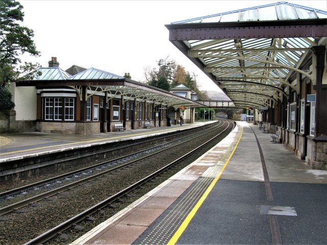
Gleneagles railway station
Gleneagles railway station serves the town of Auchterarder in Perth and Kinross, Scotland. == History == The station was opened by the Scottish Central...

Old Kincardine Castle, Auchterarder
Old Kincardine Castle was a 13th-century castle near Auchterarder in Perth and Kinross, Scotland. The castle was located on a promontory overlooking the...
Kincardine Castle, Auchterarder
Kincardine Castle is a 19th-century manor house near Auchterarder in Perth and Kinross, Scotland. The building lies 1.5 kilometres (0.93 mi) south-west...

Gleneagles (Scotland)
Glen Eagles (Scottish Gaelic: Gleann na h-Eaglais/Gleann Eagas) is a glen which connects with Glen Devon to form a pass through the Ochil Hills of Perth...
Have you been to Eastmains Strip?
Leave your review of Eastmains Strip below (or comments, questions and feedback).