Auchengray Plantation

Wood, Forest in Kirkcudbrightshire

Scotland

Auchengray Plantation

Crossing New Abbey Pow This substantial ford-bridge takes a rough track across the river.
Crossing New Abbey Pow Credit: Mary and Angus Hogg

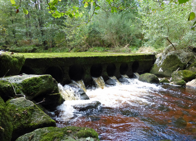
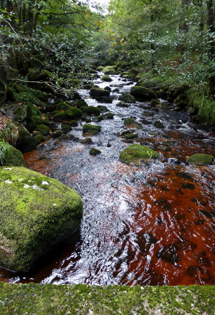
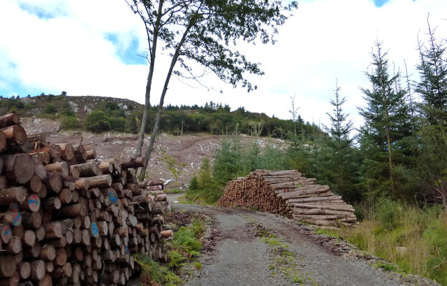
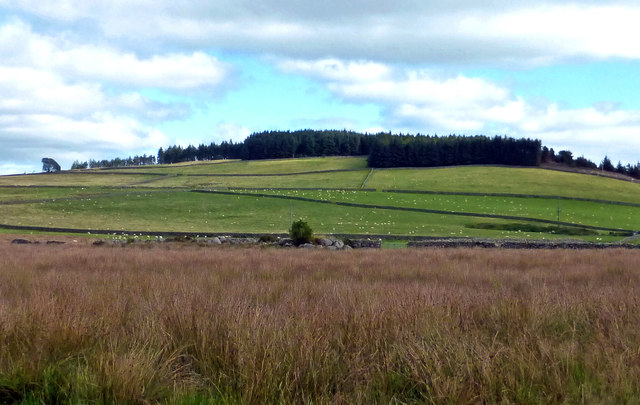
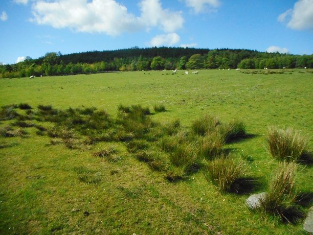
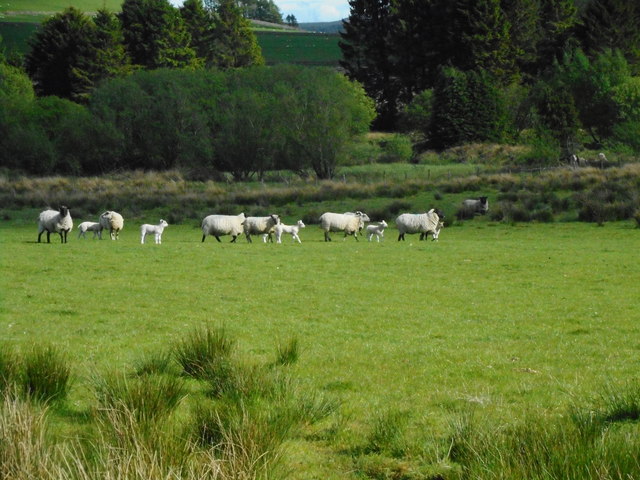
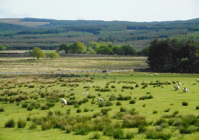
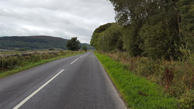
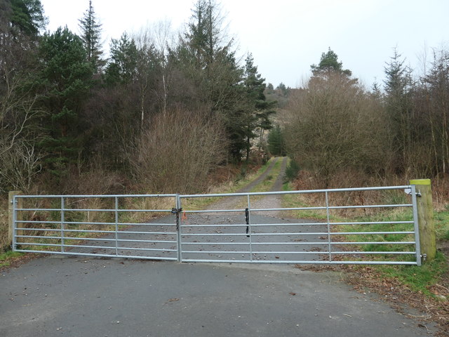
Auchengray Plantation is a picturesque wood located in Kirkcudbrightshire, Scotland. This sprawling forest covers an area of approximately 500 acres and is nestled amidst the rolling hills and verdant landscapes of the region. The plantation is renowned for its diverse range of tree species, including oak, beech, ash, and pine, which create a stunning mosaic of colors throughout the year.

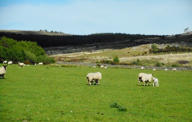
The woodland is a haven for wildlife enthusiasts and nature lovers alike. It is home to a rich variety of fauna, with numerous species of birds, mammals, and insects thriving within its boundaries. Deer can often be spotted grazing peacefully in the open meadows, while red squirrels scurry through the branches overhead. The plantation also provides a vital habitat for a number of rare and endangered species, making it an important conservation area.

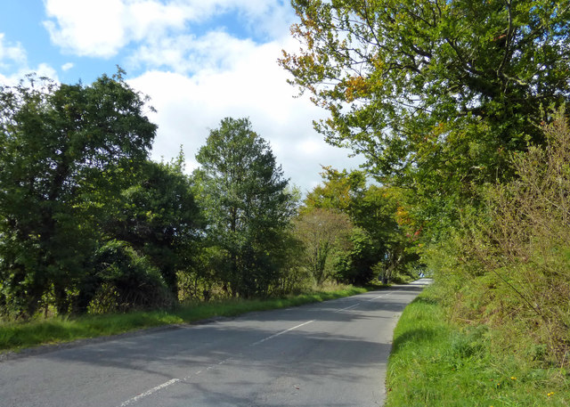
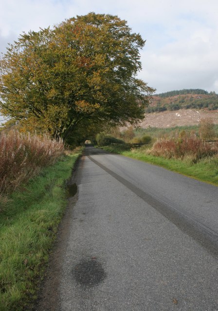
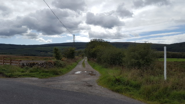
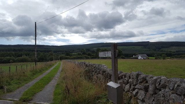
Auchengray Plantation offers a range of recreational activities for visitors to enjoy. The forest is crisscrossed with well-maintained trails, making it ideal for walking, hiking, and cycling. The tranquil atmosphere and breathtaking scenery also make it a popular spot for picnicking and photography. Nature enthusiasts can partake in birdwatching, with the woodland providing an abundance of opportunities to observe and photograph a wide variety of bird species.

Overall, Auchengray Plantation is a captivating woodland that offers a peaceful retreat from the hustle and bustle of everyday life. Its natural beauty, diverse ecosystem, and recreational opportunities make it a must-visit destination for anyone seeking solace in nature.

If you have any feedback on the listing, please let us know in the comments section below.

Auchengray Plantation Images

Images are sourced within 2km of 54.991517/-3.6657024 or Grid Reference NX9367. Thanks to Geograph Open Source API. All images are credited.

Crossing New Abbey Pow This substantial ford-bridge takes a rough track across the river.
Crossing New Abbey Pow
This substantial ford-bridge takes a rough track across the river.
New Abbey Pow An upstream view of this small river near New Abbey.
New Abbey Pow
An upstream view of this small river near New Abbey.
This Way to Beeswing The minor road between New Abbey and Beeswing, viewed in mid-September with the trees just beginning to show some autumn colour.
This Way to Beeswing
The minor road between New Abbey and Beeswing, viewed in mid-September with the trees just beginning to show some autumn colour.
Timber Operations in Auchengray Forest This view compares well with <a href="https://www.geograph.org.uk/photo/3194340">NX9367 : A track into the Auchengray Plantation</a> taken in 2012.
Timber Operations in Auchengray Forest
This view compares well with NX9367 : A track into the Auchengray Plantation taken in 2012.
Towards Auchengray Hill Looking across some low-level rough ground towards Auchengray Hill, in the next square.
Towards Auchengray Hill
Looking across some low-level rough ground towards Auchengray Hill, in the next square.
New Abbey to Beeswing road
Field beside the New Abbey to Beeswing road In the distance is Auchengray Hill. Part of the plantation covering the middle slopes of the hill have been felled recently.
Field beside the New Abbey to Beeswing road
In the distance is Auchengray Hill. Part of the plantation covering the middle slopes of the hill have been felled recently.
Field beside Glensone Plantation
Field with sheep Near Glensone.
Field with sheep
Near Glensone.
Field with sheep Near Glensone.
Field with sheep
Near Glensone.
Farmland near Glensone
Track to Drungans Farm The private road to Drungans Farm, near to Beeswing.
Track to Drungans Farm
The private road to Drungans Farm, near to Beeswing.
Track to Riddlebank The private track to Riddlebank cottage.
Track to Riddlebank
The private track to Riddlebank cottage.
The road to Beeswing The road from New Abbey heading towards Beeswing.
The road to Beeswing
The road from New Abbey heading towards Beeswing.
Old Milestone by Barlay Wood, New Abbey Parish By the UC road, in parish of New Abbey (Nithsdale District), Barlay, just East of track to house.

Inscription reads:- : New Abbey / 1¾ : : Killywhan / 4 :

Surveyed

Milestone Society National ID: DG_NABW02
Old Milestone by Barlay Wood, New Abbey Parish
By the UC road, in parish of New Abbey (Nithsdale District), Barlay, just East of track to house. Inscription reads:- : New Abbey / 1¾ : : Killywhan / 4 : Surveyed Milestone Society National ID: DG_NABW02
Old Milestone near Riddlebank, New Abbey parish Milestone by the UC road, in parish of New Abbey (Nithsdale District), Riddlebank, just East of, and opposite track to house.

Inscription once read:-
: (Killywhan / 3) : : (New Abbey / 2¾) :   

Surveyed

Milestone Society National ID: DG_NABW03
Old Milestone near Riddlebank, New Abbey parish
Milestone by the UC road, in parish of New Abbey (Nithsdale District), Riddlebank, just East of, and opposite track to house. Inscription once read:- : (Killywhan / 3) : : (New Abbey / 2¾) : Surveyed Milestone Society National ID: DG_NABW03
Old Milestone in Shambellie Wood, west of New Abbey Milestone by the UC road, in parish of New Abbey (Nithsdale District), Shambellie Wood, near track.

Inscription once read:-
: (New Abbey / ¾) : : (Killywhan / 5) :
Carved benchmark recorded.

Surveyed

N.B. Modern O.S. map shows the MS in incorrect position. Surveyed position agrees with all Old-maps.

Milestone Society National ID: DG_NABW01
Old Milestone in Shambellie Wood, west of New Abbey
Milestone by the UC road, in parish of New Abbey (Nithsdale District), Shambellie Wood, near track. Inscription once read:- : (New Abbey / ¾) : : (Killywhan / 5) : Carved benchmark recorded. Surveyed N.B. Modern O.S. map shows the MS in incorrect position. Surveyed position agrees with all Old-maps. Milestone Society National ID: DG_NABW01
Forestry track into Auchengray plantation Skirting Auchengray Hill.
Forestry track into Auchengray plantation
Skirting Auchengray Hill.
Show me another place!

Auchengray Plantation is located at Grid Ref: NX9367 (Lat: 54.991517, Lng: -3.6657024)

Unitary Authority: Dumfries and Galloway

Police Authority: Dumfries and Galloway

What 3 Words

///wonderfully.notices.entrusted. Near Dumfries, Dumfries & Galloway

Related Wikis

National Museum of Costume

The National Museum of Costume was located at Shambellie House, in New Abbey, Dumfries and Galloway, Scotland and it formed part of the National Museums...

Lochaber Loch

Lochaber Loch is a small, lowland freshwater loch that lies among steep-sided hills, approximately 4.5 mi (7.2 km) to the west of Dumfries, Scotland. The...

New Abbey

New Abbey (Scottish Gaelic: An Abaid Ùr) is a village in the historical county of Kirkcudbrightshire in Dumfries and Galloway, Scotland. It is 6 miles...

Sweetheart Abbey

The Abbey of Dulce Cor, better known as Sweetheart Abbey (Gaelic: An Abaid Ur), was a Cistercian monastery founded in 1275 in what is now the village of...

Have you been to Auchengray Plantation?

Leave your review of Auchengray Plantation below (or comments, questions and feedback).