Auchengray Hill

Hill, Mountain in Kirkcudbrightshire

Scotland

Auchengray Hill

Old Milestone opposite Brambling Cottage Milestone by the UC road, in parish of New Abbey (Nithsdale District), Brambling, nearly opposite a small cottage. An earlier photograph can be found here <a title="https://www.geograph.org.uk/photo/6102343" href="https://www.geograph.org.uk/photo/6102343">Link</a>.

Inscription reads:-
: New Abbey / 3¾ : : Killywhan / 2 : 

Milestone Society National ID: DG_NABW04
Old Milestone opposite Brambling Cottage Credit: Wayne MacDonald

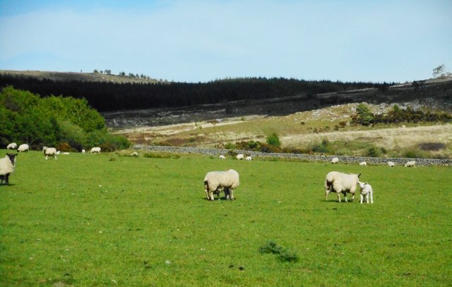
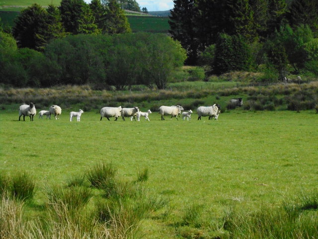
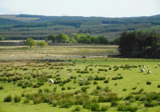
Auchengray Hill is a prominent hill located in the region of Kirkcudbrightshire in southwestern Scotland. It is part of the Southern Uplands range and stands at an elevation of approximately 283 meters (928 feet) above sea level. The hill is known for its distinctive rounded shape and offers panoramic views of the surrounding countryside.

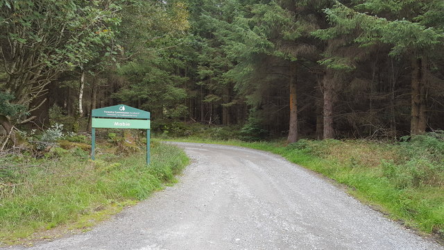
Auchengray Hill is popular among hikers and outdoor enthusiasts, who come to explore its rugged terrain and enjoy the scenic vistas from its summit. The hill is home to a variety of wildlife, including birds of prey, deer, and other native species.

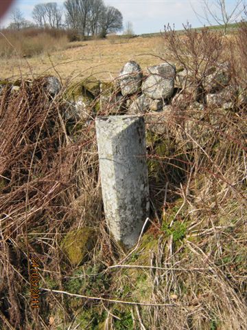
The area surrounding Auchengray Hill is rich in history, with several ancient archaeological sites scattered throughout the landscape. Visitors can explore the remnants of old settlements, stone circles, and other historical landmarks that offer insight into the area's past.

Overall, Auchengray Hill is a picturesque and tranquil destination for those looking to immerse themselves in the natural beauty and history of Kirkcudbrightshire.

If you have any feedback on the listing, please let us know in the comments section below.

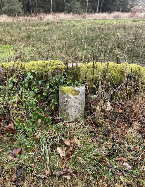
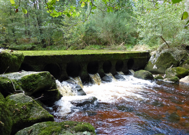
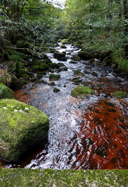
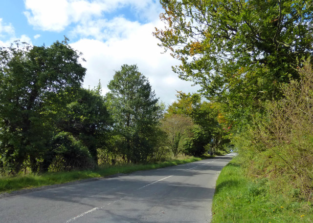
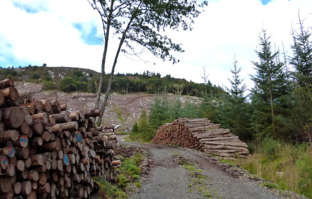
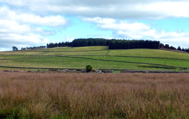
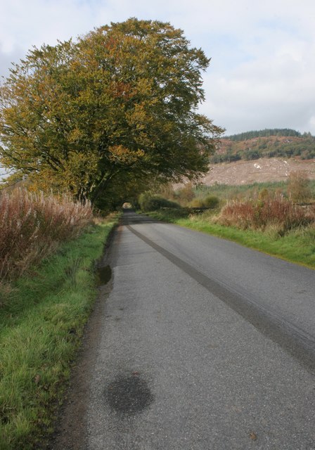
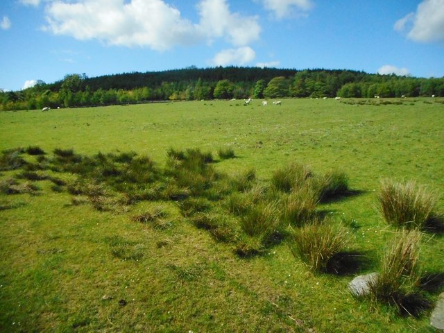
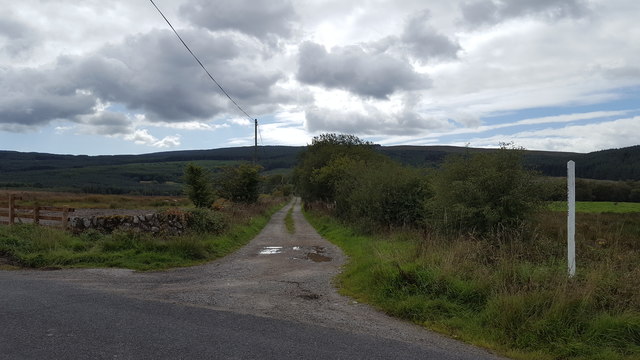
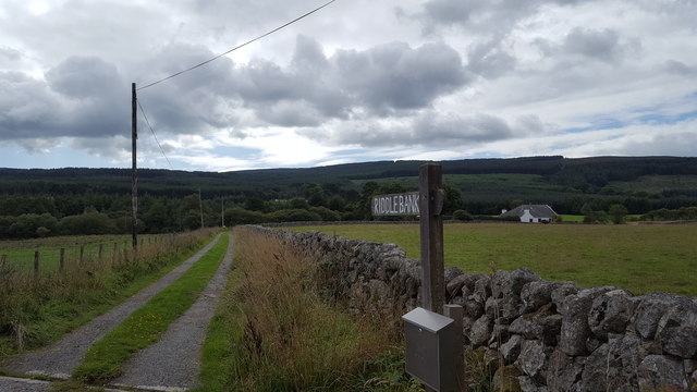
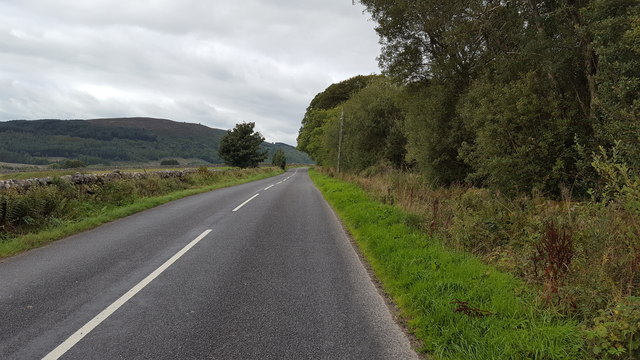
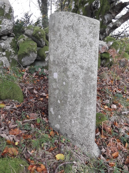
Auchengray Hill Images

Images are sourced within 2km of 54.991676/-3.6731651 or Grid Reference NX9367. Thanks to Geograph Open Source API. All images are credited.

Old Milestone opposite Brambling Cottage Milestone by the UC road, in parish of New Abbey (Nithsdale District), Brambling, nearly opposite a small cottage. An earlier photograph can be found here <a title="https://www.geograph.org.uk/photo/6102343" href="https://www.geograph.org.uk/photo/6102343">Link</a>.

Inscription reads:-
: New Abbey / 3¾ : : Killywhan / 2 : 

Milestone Society National ID: DG_NABW04
Old Milestone opposite Brambling Cottage
Milestone by the UC road, in parish of New Abbey (Nithsdale District), Brambling, nearly opposite a small cottage. An earlier photograph can be found here Link. Inscription reads:- : New Abbey / 3¾ : : Killywhan / 2 : Milestone Society National ID: DG_NABW04
Crossing New Abbey Pow This substantial ford-bridge takes a rough track across the river.
Crossing New Abbey Pow
This substantial ford-bridge takes a rough track across the river.
New Abbey Pow An upstream view of this small river near New Abbey.
New Abbey Pow
An upstream view of this small river near New Abbey.
This Way to Beeswing The minor road between New Abbey and Beeswing, viewed in mid-September with the trees just beginning to show some autumn colour.
This Way to Beeswing
The minor road between New Abbey and Beeswing, viewed in mid-September with the trees just beginning to show some autumn colour.
Timber Operations in Auchengray Forest This view compares well with <a href="https://www.geograph.org.uk/photo/3194340">NX9367 : A track into the Auchengray Plantation</a> taken in 2012.
Timber Operations in Auchengray Forest
This view compares well with NX9367 : A track into the Auchengray Plantation taken in 2012.
Towards Auchengray Hill Looking across some low-level rough ground towards Auchengray Hill, in the next square.
Towards Auchengray Hill
Looking across some low-level rough ground towards Auchengray Hill, in the next square.
New Abbey to Beeswing road
Field beside the New Abbey to Beeswing road In the distance is Auchengray Hill. Part of the plantation covering the middle slopes of the hill have been felled recently.
Field beside the New Abbey to Beeswing road
In the distance is Auchengray Hill. Part of the plantation covering the middle slopes of the hill have been felled recently.
Field beside Glensone Plantation
Field with sheep Near Glensone.
Field with sheep
Near Glensone.
Field with sheep Near Glensone.
Field with sheep
Near Glensone.
Farmland near Glensone
Entrance to Mabie Forest One of many tracks into Mabie Forest near to Beeswing.
Entrance to Mabie Forest
One of many tracks into Mabie Forest near to Beeswing.
Track to Drungans Farm The private road to Drungans Farm, near to Beeswing.
Track to Drungans Farm
The private road to Drungans Farm, near to Beeswing.
Track to Riddlebank The private track to Riddlebank cottage.
Track to Riddlebank
The private track to Riddlebank cottage.
The road to Beeswing The road from New Abbey heading towards Beeswing.
The road to Beeswing
The road from New Abbey heading towards Beeswing.
Old Milestone by Barlay Wood, New Abbey Parish By the UC road, in parish of New Abbey (Nithsdale District), Barlay, just East of track to house.

Inscription reads:- : New Abbey / 1¾ : : Killywhan / 4 :

Surveyed

Milestone Society National ID: DG_NABW02
Old Milestone by Barlay Wood, New Abbey Parish
By the UC road, in parish of New Abbey (Nithsdale District), Barlay, just East of track to house. Inscription reads:- : New Abbey / 1¾ : : Killywhan / 4 : Surveyed Milestone Society National ID: DG_NABW02
Old Milestone near Riddlebank, New Abbey parish Milestone by the UC road, in parish of New Abbey (Nithsdale District), Riddlebank, just East of, and opposite track to house.

Inscription once read:-
: (Killywhan / 3) : : (New Abbey / 2¾) :   

Surveyed

Milestone Society National ID: DG_NABW03
Old Milestone near Riddlebank, New Abbey parish
Milestone by the UC road, in parish of New Abbey (Nithsdale District), Riddlebank, just East of, and opposite track to house. Inscription once read:- : (Killywhan / 3) : : (New Abbey / 2¾) : Surveyed Milestone Society National ID: DG_NABW03
Show me another place!

Auchengray Hill is located at Grid Ref: NX9367 (Lat: 54.991676, Lng: -3.6731651)

Unitary Authority: Dumfries and Galloway

Police Authority: Dumfries and Galloway

What 3 Words

///validated.amplifier.sweetly. Near Dumfries, Dumfries & Galloway

Related Wikis

Loch Arthur logboat

The Loch Arthur logboat or dugout canoe (also called Loch Arthur 1, Loch Lotus or Lotus Loch) was found in 1874 when the water level was low on the south...

Loch Arthur

Loch Arthur (also known as Loch Lotus) is a lake in the council area of Dumfries and Galloway in Scotland near the village of Beeswing.Loch Arthur lies...

Lochaber Loch

Lochaber Loch is a small, lowland freshwater loch that lies among steep-sided hills, approximately 4.5 mi (7.2 km) to the west of Dumfries, Scotland. The...

National Museum of Costume

The National Museum of Costume was located at Shambellie House, in New Abbey, Dumfries and Galloway, Scotland and it formed part of the National Museums...

Nearby Amenities

Located within 500m of 54.991676,-3.6731651
Auchengray Hill
Natural: peak
Source: os7
Lat/Long: 54.9914063/-3.6738699
The data included in this document is from www.openstreetmap.org. The data is made available under ODbL.

Have you been to Auchengray Hill?

Leave your review of Auchengray Hill below (or comments, questions and feedback).