West Elistoun Wood
Wood, Forest in Clackmannanshire
Scotland
West Elistoun Wood
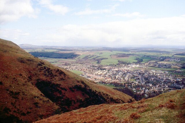
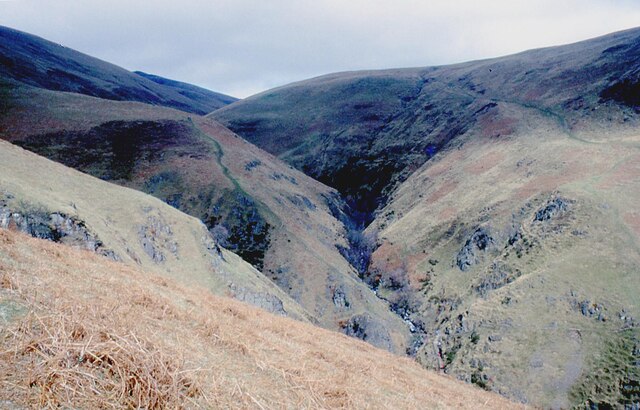
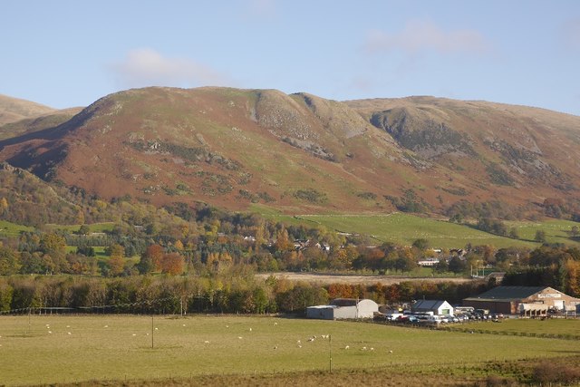
West Elistoun Wood is a picturesque woodland area located in Clackmannanshire, Scotland. Covering an area of approximately 50 acres, this forest is renowned for its natural beauty and tranquil atmosphere. The wood is situated near the town of Alloa, and is easily accessible by both car and foot.
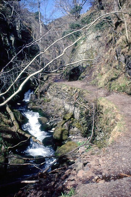
As visitors enter West Elistoun Wood, they are greeted by a dense canopy of trees, predominantly composed of oak, beech, and birch. The towering trees create a sense of awe and serenity, providing a perfect escape from the hustle and bustle of everyday life. The forest floor is adorned with an array of wildflowers, adding vibrant colors to the surroundings.
The wood is crisscrossed by a network of well-maintained walking trails, allowing visitors to explore the area at their own pace. These trails wind through the forest, taking visitors on a journey through lush greenery and providing opportunities to spot various species of birds and small mammals that call the wood their home.
West Elistoun Wood is not only a haven for nature enthusiasts but also a valuable habitat for wildlife. The forest provides a rich ecosystem, supporting a diverse range of flora and fauna. Rare species, such as red squirrels and roe deer, can often be spotted within the wood, making it a popular destination for wildlife enthusiasts and photographers.
Overall, West Elistoun Wood offers a captivating experience for those seeking solace in nature. Whether it's a leisurely stroll along the trails or a peaceful picnic amidst the trees, this woodland sanctuary is a must-visit destination for anyone looking to connect with the beauty of the natural world.
If you have any feedback on the listing, please let us know in the comments section below.
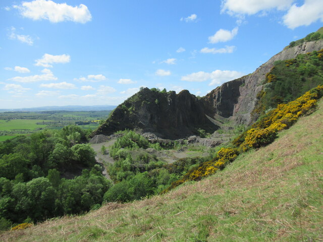
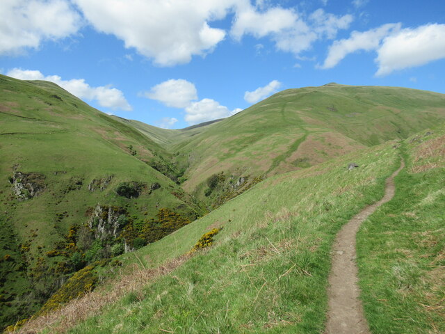
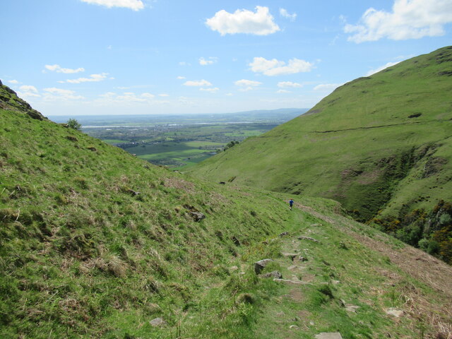
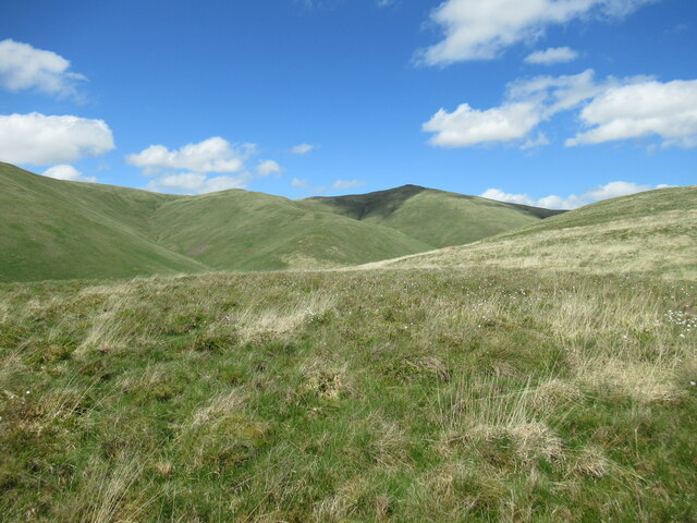
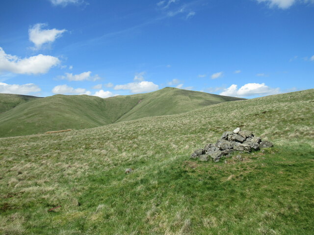
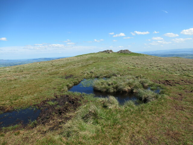
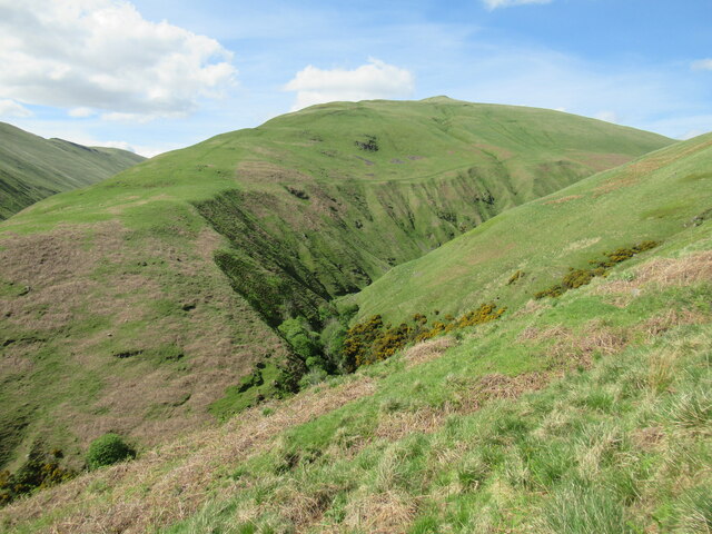
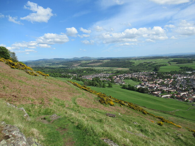
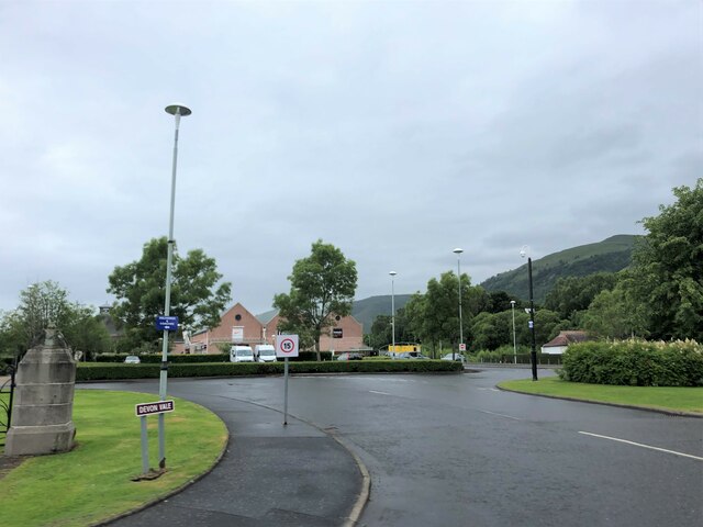
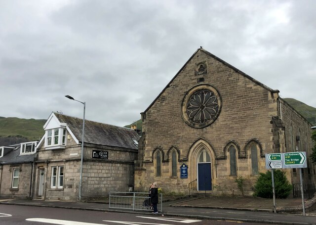
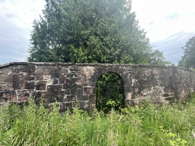
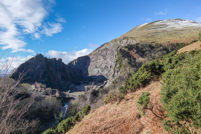
West Elistoun Wood Images
Images are sourced within 2km of 56.162927/-3.7280287 or Grid Reference NS9298. Thanks to Geograph Open Source API. All images are credited.
West Elistoun Wood is located at Grid Ref: NS9298 (Lat: 56.162927, Lng: -3.7280287)
Unitary Authority: Clackmannanshire
Police Authority: Forth Valley
What 3 Words
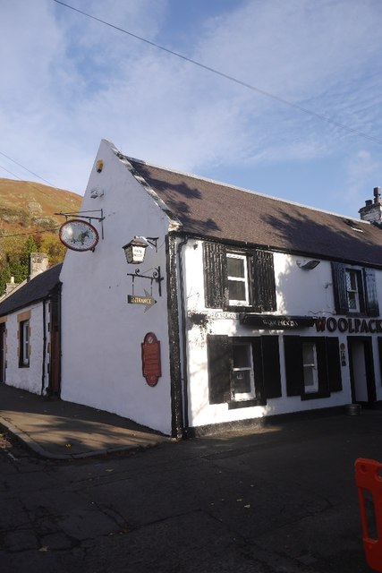
///strikers.paving.wording. Near Tillicoultry, Clackmannanshire
Nearby Locations
Related Wikis

Harviestoun
Harviestoun is an estate in Tillicoultry parish, Clackmannanshire, central Scotland. It lies at the base of the Ochil Hills, around 1.5 kilometres (0.93...

Ochil Fault
The Ochil Fault is the geological feature which defines the southern edge of the Ochil Hills escarpment in Scotland. North of the fault, Devonian lava...
Tillicoultry
Tillicoultry ( TIL-ee-KOO-tree; Scottish Gaelic: Tulach Cultraidh, perhaps from older Gaelic Tullich-cul-tir, or "the mount/hill at the back of the country...

Clackmannanshire
Clackmannanshire ( ; Scots: Clackmannanshire; Scottish Gaelic: Siorrachd Chlach Mhanann), or the County of Clackmannan, is a historic county, council area...

Tillicoultry railway station
Tillicoultry railway station served the town of Tillicoultry, Clackmannanshire, Scotland from 1851 to 1964 on the Devon Valley Railway and the Stirling...

Coalsnaughton
Coalsnaughton or Calibar (Scottish Gaelic: Caolas Neachdainn) is a village in Clackmannanshire, Scotland. It is just south of Tillicoultry of which it...
Glenfoot railway station
Glenfoot railway station was a temporary terminus that served the town of Tillicoultry, Clackmannanshire, Scotland in 1851 on the Devon Valley Railway...

Dollar, Clackmannanshire
Dollar (Scottish Gaelic: Dolair) is a small town with a population of 2,800 people in Clackmannanshire, Scotland. It is 12 miles (19 kilometres) east of...
Nearby Amenities
Located within 500m of 56.162927,-3.7280287Have you been to West Elistoun Wood?
Leave your review of West Elistoun Wood below (or comments, questions and feedback).