Lady Ann's Wood

Wood, Forest in Clackmannanshire

Scotland

Lady Ann's Wood

Mill Glen, Tillicoultry
Mill Glen, Tillicoultry Credit: Alan Reid

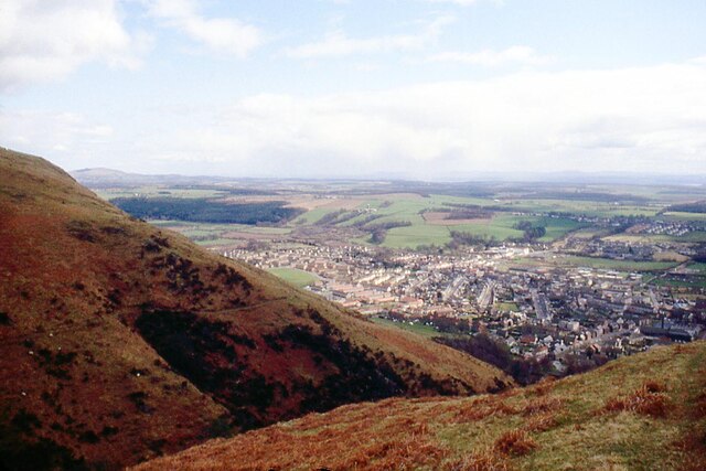
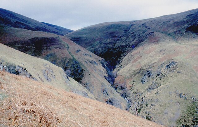
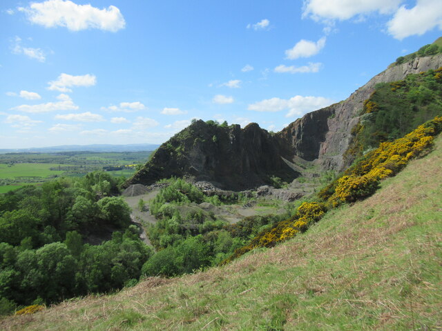
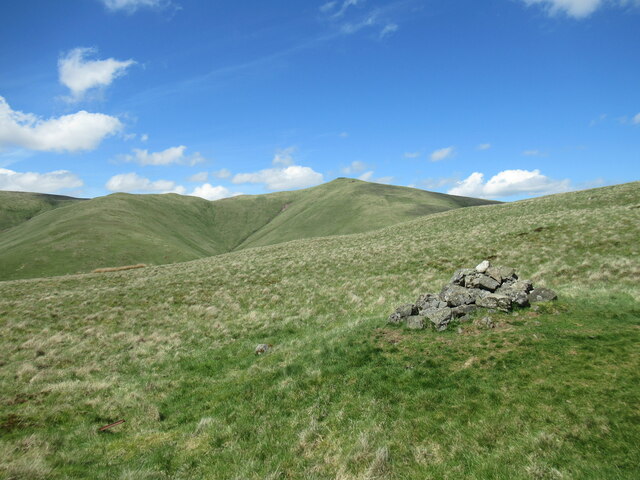
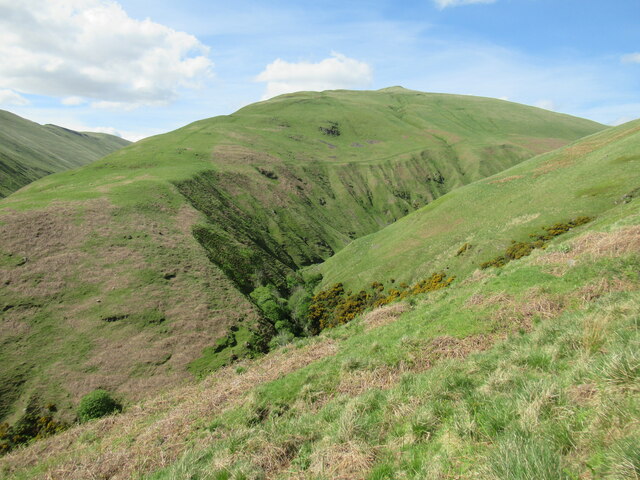
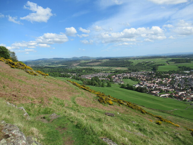
Lady Ann's Wood is a picturesque forest located in Clackmannanshire, Scotland. Spread across an area of approximately 80 hectares, it is a popular destination for nature enthusiasts and outdoor lovers. The wood is named after Lady Ann Erskine, who was the daughter of the sixth Earl of Mar and married to the eleventh Earl of Mar.

The wood is characterized by its diverse range of tree species, including oak, birch, ash, and beech. The mature trees create a dense canopy that provides shade and shelter for various wildlife species that call the wood their home. Visitors can expect to encounter a variety of birds, such as woodpeckers, jays, and tits, as well as small mammals like squirrels and rabbits.

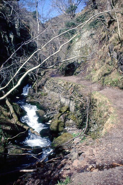
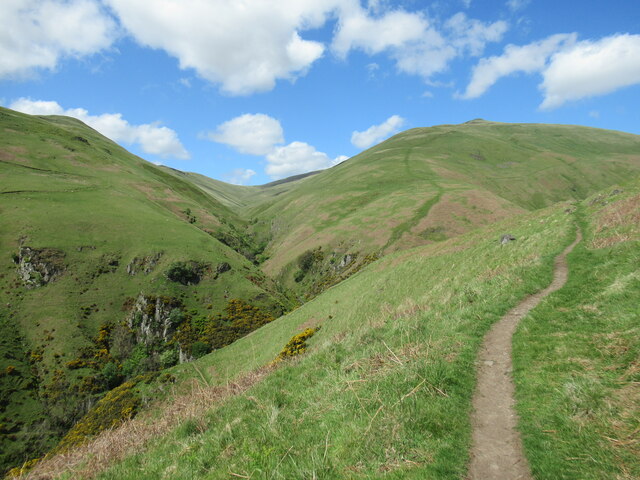
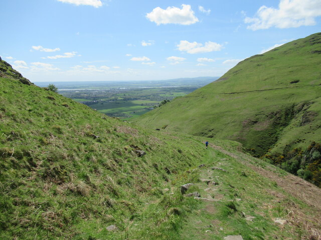
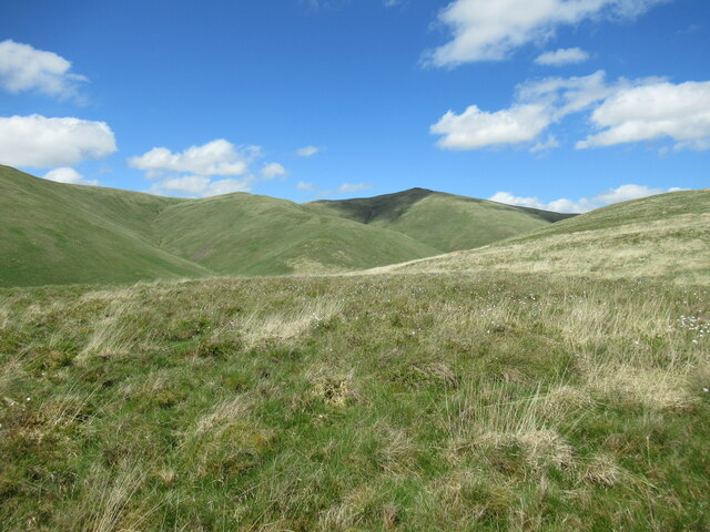
Lady Ann's Wood offers a network of well-maintained walking trails that allow visitors to explore its natural beauty at their own pace. The trails wind through the wood, offering stunning views of the surrounding countryside and providing opportunities for peaceful walks and picnics. The forest also features a small pond, which further enhances the serene atmosphere.

Historically, Lady Ann's Wood has played a significant role as a source of timber for the local community. However, it is now primarily managed for conservation purposes, ensuring the preservation of its natural habitat and biodiversity. The wood is accessible to the public throughout the year, and it is recommended to check local guidelines and any seasonal closures before planning a visit.

Lady Ann's Wood is a hidden gem in Clackmannanshire, offering visitors a chance to immerse themselves in the tranquility of nature while enjoying the beauty of a well-preserved forest.

If you have any feedback on the listing, please let us know in the comments section below.

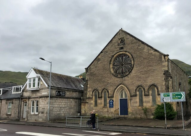
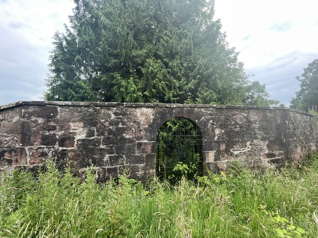
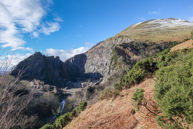
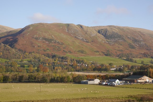
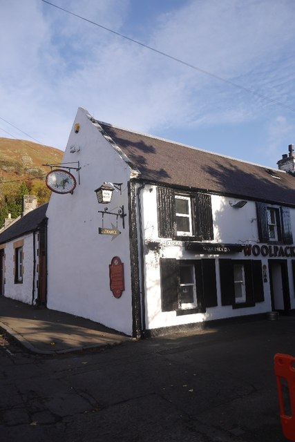
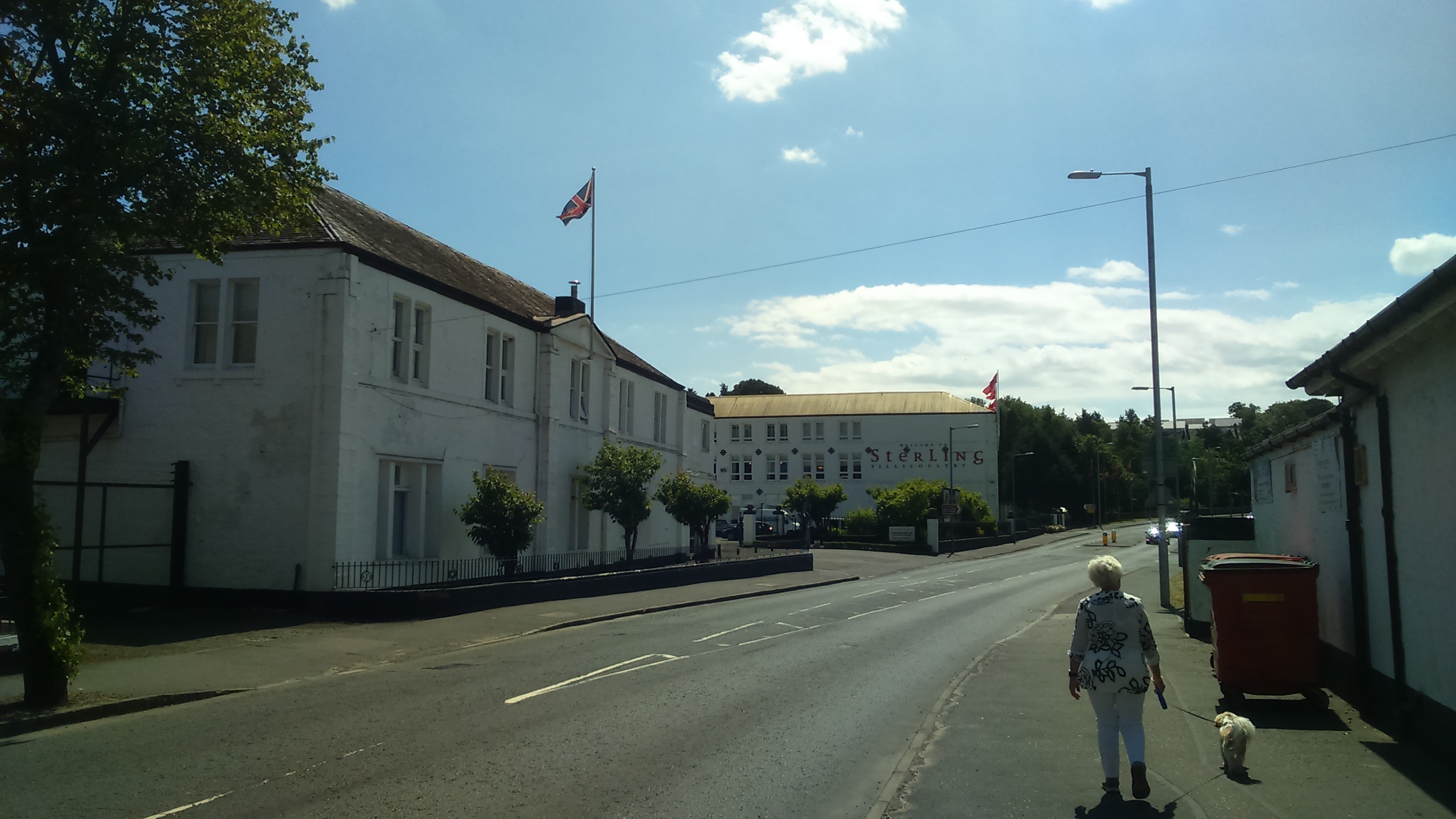
Lady Ann's Wood Images

Images are sourced within 2km of 56.162708/-3.7315134 or Grid Reference NS9298. Thanks to Geograph Open Source API. All images are credited.

Mill Glen, Tillicoultry
Quarry at Tillicoultry
Southeast spur of Ben Ever Looking into the gully of Gannel Burn.
Southeast spur of Ben Ever
Looking into the gully of Gannel Burn.
Craigfoot Quarry, Tillicoultry A disused whinstone (andesite) quarry in the Ochil Hills.
Craigfoot Quarry, Tillicoultry
A disused whinstone (andesite) quarry in the Ochil Hills.
Path above Mill Glen, Tillicoultry The Gannel Burn lies in a deep ravine below, with the Daiglen Burn flowing down from the slopes of the Ochil Hills to join it.
Path above Mill Glen, Tillicoultry
The Gannel Burn lies in a deep ravine below, with the Daiglen Burn flowing down from the slopes of the Ochil Hills to join it.
Runner in the Ochil Hills A bit too energetic for me – walking pace is more to my liking.
Runner in the Ochil Hills
A bit too energetic for me – walking pace is more to my liking.
View across the Ochil Hills above the Gannel Burn Andrew Gannel Hill can be seen partly in shadow.
View across the Ochil Hills above the Gannel Burn
Andrew Gannel Hill can be seen partly in shadow.
Small cairn above Elistoun Hill On the Ochil Hills, looking towards Andrew Gannel Hill.
Small cairn above Elistoun Hill
On the Ochil Hills, looking towards Andrew Gannel Hill.
Creased slopes above the Gannel Burn The Ochil Hills are made up of a series of andesitic lava flows around 410 million years old, and show the effects of various geological processes, including glaciation.
Creased slopes above the Gannel Burn
The Ochil Hills are made up of a series of andesitic lava flows around 410 million years old, and show the effects of various geological processes, including glaciation.
View down to Tillicoultry from Mill Glen The path winds up a steep section of hillside immediately above Tillicoultry, and there are some conveniently placed benches for a rest, one of which can be seen here.
View down to Tillicoultry from Mill Glen
The path winds up a steep section of hillside immediately above Tillicoultry, and there are some conveniently placed benches for a rest, one of which can be seen here.
Entrance to Stirling Vale Shopping Centre
Tillicoultry Evangelical Congregational Church On the High Street at Tillicoultry
Tillicoultry Evangelical Congregational Church
On the High Street at Tillicoultry
Hidden Burial Ground
Tillicoultry Quarry
Tillicoultry Quarry
Wester Kirk Craig Steep slopes of the Ochil Hills above Tillicoultry.
Wester Kirk Craig
Steep slopes of the Ochil Hills above Tillicoultry.
The Woolpack Mill Street, Tillicoultry
The Woolpack
Mill Street, Tillicoultry
Gate at the foot of the Mill Glen The Mill Glen has been closed for about 5 years due to unstable rock, possibly connected to the death of many elm trees on the crags.  While not officially open yet, the barriers have been taken down and a reengineered path is walkable to the confluence at the foot of The Law.  Some work remains in progress, but the heavy rock bolting and chaining seems to have ceased.  It looks like a good job, and the path remains spectacular, as I remember it.
Gate at the foot of the Mill Glen
The Mill Glen has been closed for about 5 years due to unstable rock, possibly connected to the death of many elm trees on the crags. While not officially open yet, the barriers have been taken down and a reengineered path is walkable to the confluence at the foot of The Law. Some work remains in progress, but the heavy rock bolting and chaining seems to have ceased. It looks like a good job, and the path remains spectacular, as I remember it.
Show me another place!

Lady Ann's Wood is located at Grid Ref: NS9298 (Lat: 56.162708, Lng: -3.7315134)

Unitary Authority: Clackmannanshire

Police Authority: Forth Valley

What 3 Words

///gathering.cove.director. Near Tillicoultry, Clackmannanshire

Related Wikis

Harviestoun

Harviestoun is an estate in Tillicoultry parish, Clackmannanshire, central Scotland. It lies at the base of the Ochil Hills, around 1.5 kilometres (0.93...

Ochil Fault

The Ochil Fault is the geological feature which defines the southern edge of the Ochil Hills escarpment in Scotland. North of the fault, Devonian lava...

Clackmannanshire

Clackmannanshire ( ; Scots: Clackmannanshire; Scottish Gaelic: Siorrachd Chlach Mhanann), or the County of Clackmannan, is a historic county, council area...

Tillicoultry

Tillicoultry ( TIL-ee-KOO-tree; Scottish Gaelic: Tulach Cultraidh, perhaps from older Gaelic Tullich-cul-tir, or "the mount/hill at the back of the country...

Tillicoultry railway station

Tillicoultry railway station served the town of Tillicoultry, Clackmannanshire, Scotland from 1851 to 1964 on the Devon Valley Railway and the Stirling...

Coalsnaughton

Coalsnaughton or Calibar (Scottish Gaelic: Caolas Neachdainn) is a village in Clackmannanshire, Scotland. It is just south of Tillicoultry of which it...

Glenfoot railway station

Glenfoot railway station was a temporary terminus that served the town of Tillicoultry, Clackmannanshire, Scotland in 1851 on the Devon Valley Railway...

Silver Glen

The Silver Glen lies approximately 1 kilometre (0.62 mi) to the east of the town of Alva, Clackmannanshire, Scotland, and takes its name from the silver...

Nearby Amenities

Located within 500m of 56.162708,-3.7315134
Waterway: waterfall
Lat/Long: 56.1611424/-3.7344446
Waterway: waterfall
Lat/Long: 56.1629606/-3.7347842
Natural: spring
Lat/Long: 56.1603705/-3.7353498
Ford: yes
Lat/Long: 56.160092/-3.7346926
The data included in this document is from www.openstreetmap.org. The data is made available under ODbL.

Have you been to Lady Ann's Wood?

Leave your review of Lady Ann's Wood below (or comments, questions and feedback).