Newhouse Strip

Wood, Forest in Lanarkshire

Scotland

Newhouse Strip

Road junction near Harelaw
Road junction near Harelaw Credit: Steven Brown

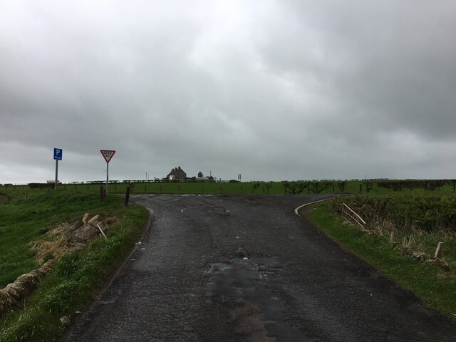
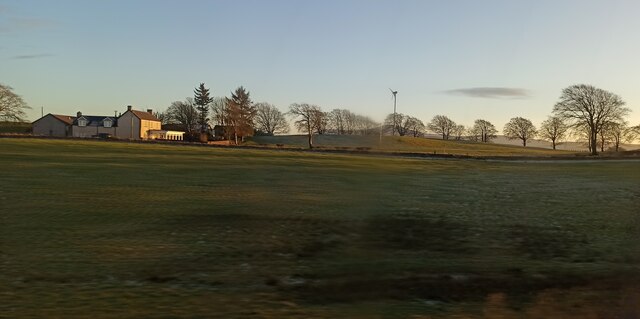
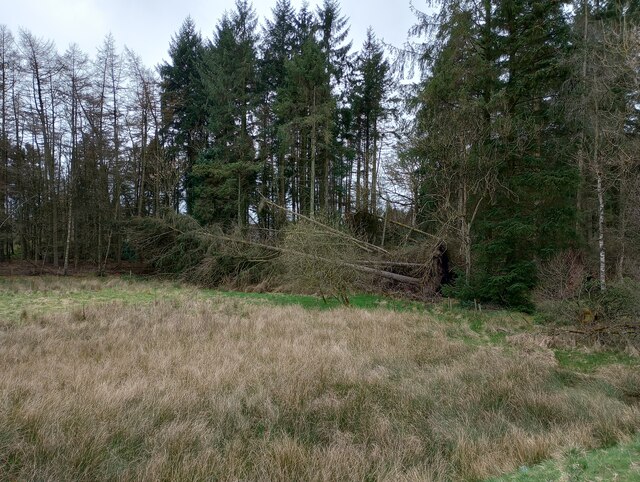
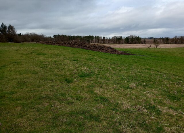
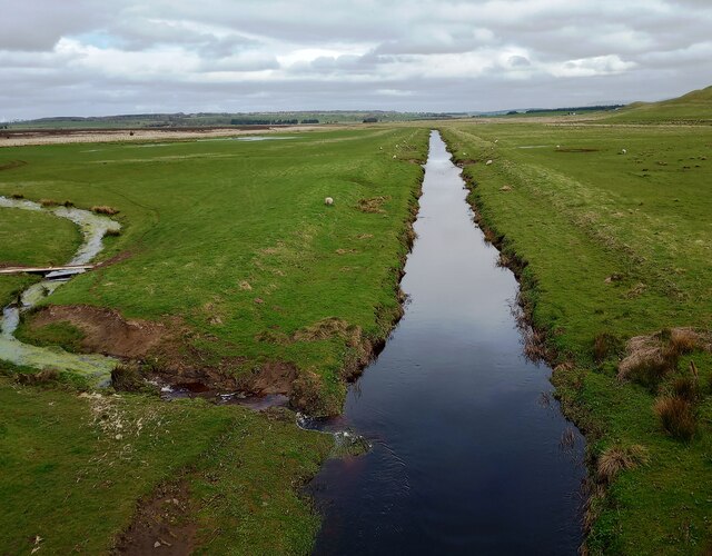
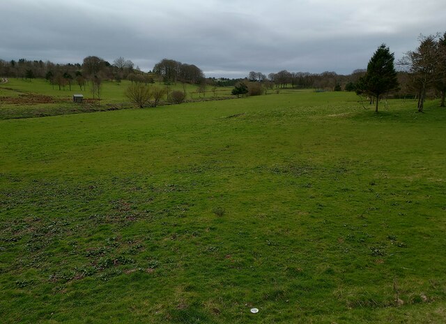
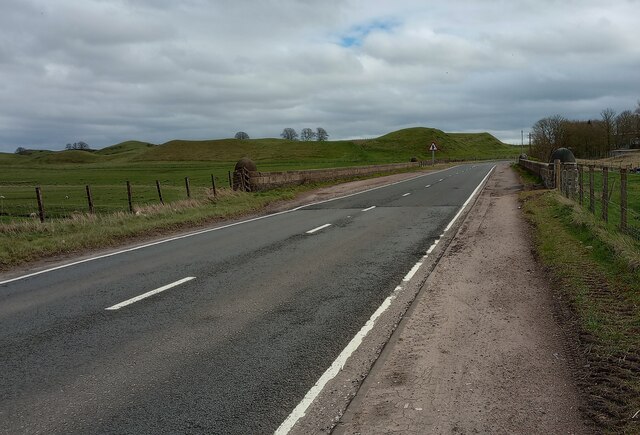
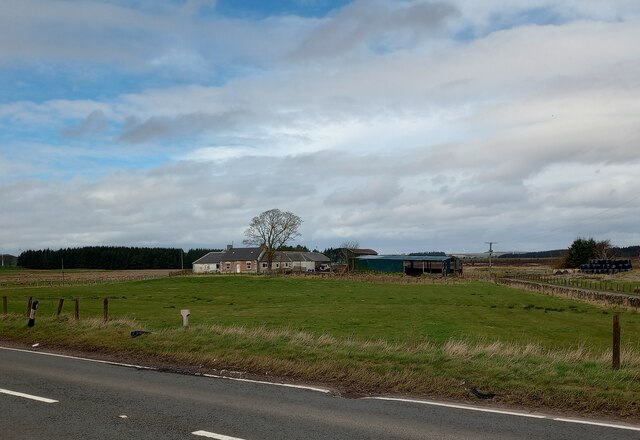
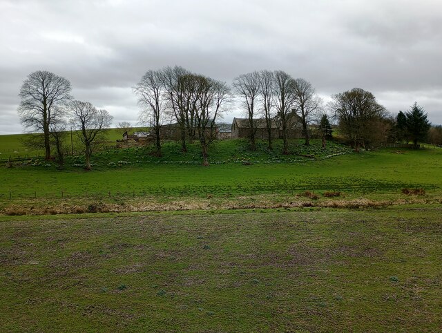
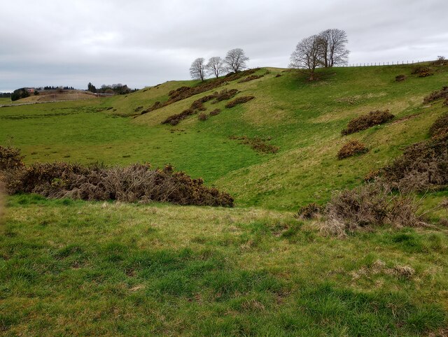
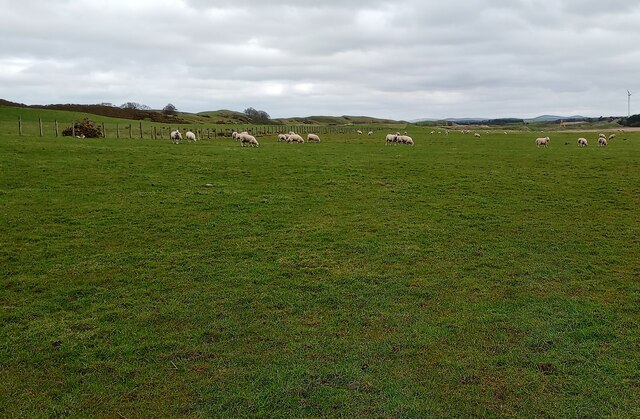
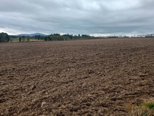
Newhouse Strip is a scenic and expansive woodland area located in Lanarkshire, Scotland. Situated near the town of Newhouse, this forest is a popular destination for nature enthusiasts and offers a tranquil retreat from the bustling urban environment. Spanning approximately 200 acres, Newhouse Strip is a haven for outdoor activities and relaxation.

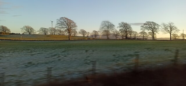
The woodland is characterized by a diverse range of tree species, including oak, birch, and pine. These towering trees create a dense canopy that provides shade and shelter for various wildlife species. Visitors to the forest can expect to encounter a wide array of fauna, such as deer, foxes, and a variety of bird species. The peaceful ambiance of Newhouse Strip makes it an ideal spot for birdwatching and wildlife photography.

There are numerous well-maintained trails and paths that wind through the forest, offering visitors the opportunity to explore and immerse themselves in nature. These paths cater to hikers and nature walkers of all abilities, providing options for both leisurely strolls and more challenging treks.

Newhouse Strip also boasts a picnic area, where visitors can relax and enjoy a meal amidst the serene surroundings. The picnic area is equipped with benches and tables, making it an ideal spot for families and groups to gather and enjoy the beautiful woodland scenery.

Overall, Newhouse Strip in Lanarkshire is a picturesque forest that offers a peaceful escape from the hustle and bustle of daily life. With its diverse flora and fauna, well-maintained trails, and picnic area, it is a must-visit destination for nature lovers and outdoor enthusiasts.

If you have any feedback on the listing, please let us know in the comments section below.

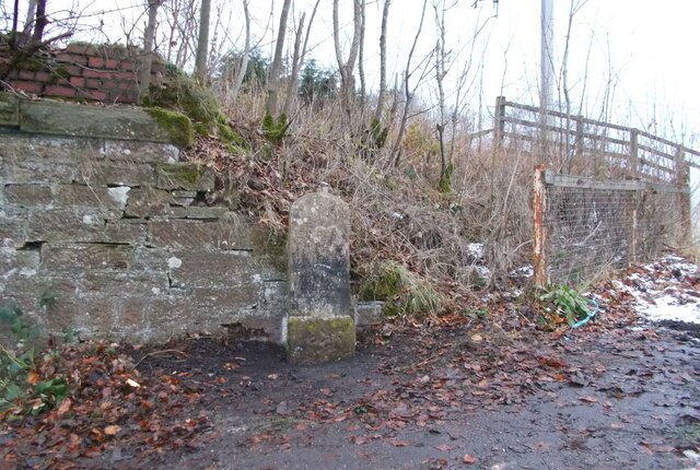
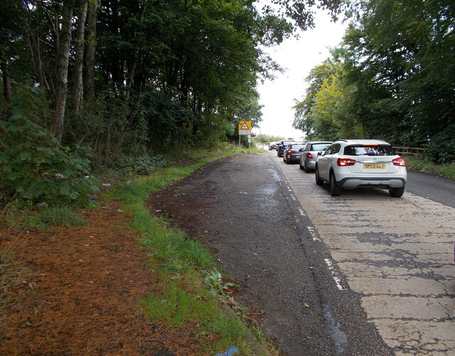
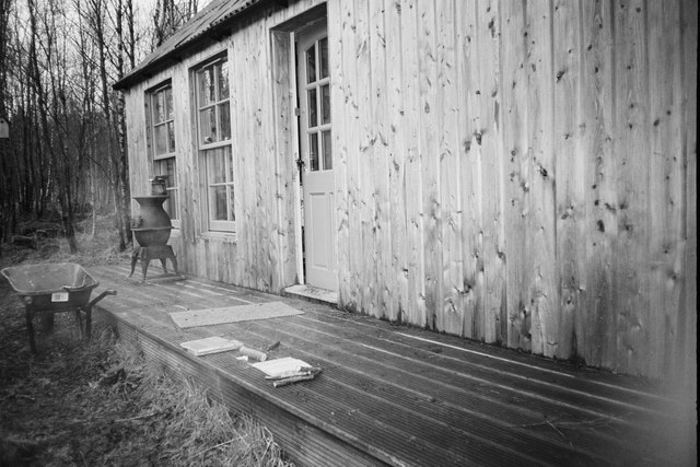
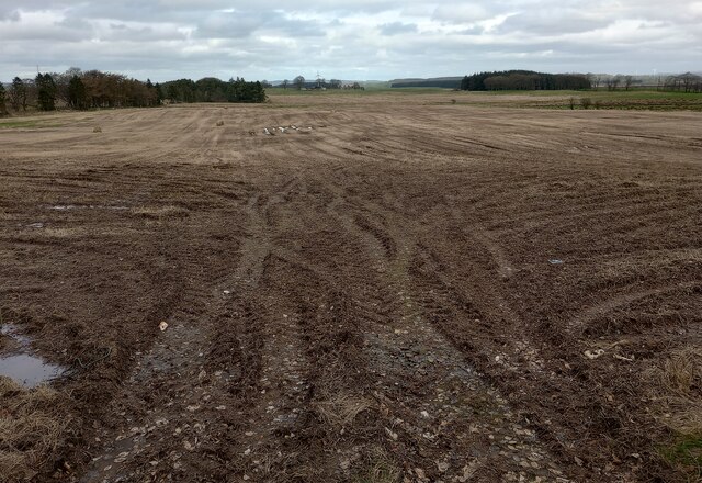
Newhouse Strip Images

Images are sourced within 2km of 55.692408/-3.7111219 or Grid Reference NS9245. Thanks to Geograph Open Source API. All images are credited.

Road junction near Harelaw
Carstairs centre
Carstairs centre
Huntlygate On the A743 road, viewed from a passing train.
Huntlygate
On the A743 road, viewed from a passing train.
Farmland near Lanark Viewed from a Lanark bound train.
Farmland near Lanark
Viewed from a Lanark bound train.
Old milestone Until earlier in 2023 this milestone had been in a private garden for many years.   It was rescued when milestones along this route were being dug up and discarded during road improvement work by the Roads Dept in the 1990s.   It has now been set back on Cleghorn Road about 30m west of the level crossing, against the stone wall at the back of the pavement.   The faint legend reads LANARK/arrow to the left 2/EDINBURGH/30 arrow to the right.  There is horizontal broaching on the sides and top.  The rough-hammered base is 46x33x36.   It may date to the early 1820s being set up by the Wilsontown & Lanark Road Trust
Old milestone
Until earlier in 2023 this milestone had been in a private garden for many years. It was rescued when milestones along this route were being dug up and discarded during road improvement work by the Roads Dept in the 1990s. It has now been set back on Cleghorn Road about 30m west of the level crossing, against the stone wall at the back of the pavement. The faint legend reads LANARK/arrow to the left 2/EDINBURGH/30 arrow to the right. There is horizontal broaching on the sides and top. The rough-hammered base is 46x33x36. It may date to the early 1820s being set up by the Wilsontown & Lanark Road Trust
Old milestone The milestone that has been moved from a garden and set back by the roadside near to busy Cleghorn Level Crossing is just beyond the warning sign.
Old milestone
The milestone that has been moved from a garden and set back by the roadside near to busy Cleghorn Level Crossing is just beyond the warning sign.
Hut near Cleghorn Do not trespass.
Hut near Cleghorn
Do not trespass.
Churned up field Tracks of tractors as well as lying water and last year's bales can be seen
Churned up field
Tracks of tractors as well as lying water and last year's bales can be seen
Windthrow: Cranley Wood There were several examples nearby
Windthrow: Cranley Wood
There were several examples nearby
Where there's muck Should be spread over field before long
Where there's muck
Should be spread over field before long
Mouse Water from Cowford Bridge Like a large drainage ditch in this stretch
Mouse Water from Cowford Bridge
Like a large drainage ditch in this stretch
Former golf course One of two former courses at what was Kames Country Club
Former golf course
One of two former courses at what was Kames Country Club
A721 at Cowford Bridge A plaque date the bridge from 1938
A721 at Cowford Bridge
A plaque date the bridge from 1938
Cowford Farm On slightly higher land away from Mouse Water
Cowford Farm
On slightly higher land away from Mouse Water
Columbie Farm Large trees still bare
Columbie Farm
Large trees still bare
Carstairs Kames Mostly agreed now that these are eskers.
Carstairs Kames
Mostly agreed now that these are eskers.
Sheep beside Ryeflat Road Look like last year's lambs.
Sheep beside Ryeflat Road
Look like last year's lambs.
Large ploughed field Tractor ploughing at far side
Large ploughed field
Tractor ploughing at far side
Show me another place!

Newhouse Strip is located at Grid Ref: NS9245 (Lat: 55.692408, Lng: -3.7111219)

Unitary Authority: South Lanarkshire

Police Authority: Lanarkshire

What 3 Words

///mornings.dialects.lies. Near Lanark, South Lanarkshire

Related Wikis

Ravenstruther Rail Terminal

Ravenstruther Rail Terminal is a freight handling facility near Ravenstruther in Scotland. == History == The terminal was formerly operated by Scottish...

Ravenstruther

Ravenstruther (Scots: Raenstrie) is a small hamlet in South Lanarkshire, Scotland, near the town of Lanark. In 1517 the lands of Carstairs and Ravenstruther...

Carstairs

Carstairs (, Scottish Gaelic: Caisteal Tarrais) is a village in South Lanarkshire, Scotland. Carstairs is located 5 miles (8 kilometres) east of the county...

Carstairs Castle

Carstairs Castle was a stronghold in the east of Carstairs, a short distance from the current site of Carstairs Parish Church. Now long gone, it dates...

Nearby Amenities

Located within 500m of 55.692408,-3.7111219
Witch Ford
Ford: yes
Lat/Long: 55.6951045/-3.717179
Railway: switch
Lat/Long: 55.6889928/-3.7073478
Railway: buffer_stop
Lat/Long: 55.6899201/-3.7068217
Railway: switch
Lat/Long: 55.690304/-3.7054595
Railway: switch
Lat/Long: 55.6904877/-3.7044948
Railway: switch
Lat/Long: 55.6903807/-3.7062487
Noexit: yes
Lat/Long: 55.6924662/-3.7083471
Ford: yes
Lat/Long: 55.6941331/-3.7184019
Railway: signal
Railway Signal Direction: backward
Railway Signal Shunting: GB-NR:shunting
Railway Signal Shunting Form: light
Ref: GMC402
Lat/Long: 55.6903452/-3.7052973
Power: pole
Lat/Long: 55.6890537/-3.7156515
Power: pole
Lat/Long: 55.689663/-3.7154929
Power: pole
Lat/Long: 55.6895962/-3.7167324
Power: pole
Lat/Long: 55.6905582/-3.7061406
Power: pole
Lat/Long: 55.691223/-3.7065485
Power: pole
Lat/Long: 55.6917728/-3.7069164
Power: pole
Lat/Long: 55.6923962/-3.7073222
Noexit: yes
Lat/Long: 55.6928759/-3.7076336
Noexit: yes
Lat/Long: 55.6934262/-3.7071294
Railway: level_crossing
Lat/Long: 55.6884109/-3.7075365
Railway: level_crossing
Lat/Long: 55.688421/-3.7076406
Railway: signal
Railway Signal Direction: backward
Railway Signal Main: GB-NR:main
Railway Signal Main Form: light
Ref: GMC400
Lat/Long: 55.690505/-3.7043044
Railway: signal
Railway Signal Direction: backward
Railway Signal Main: GB-NR:main
Railway Signal Main Form: light
Ref: GMC410
Lat/Long: 55.6903379/-3.7066695
Railway: signal
Railway Signal Direction: forward
Railway Signal Main: GB-NR:main
Railway Signal Main Form: light
Ref: GMC403
Lat/Long: 55.6896787/-3.7131164
The data included in this document is from www.openstreetmap.org. The data is made available under ODbL.

Have you been to Newhouse Strip?

Leave your review of Newhouse Strip below (or comments, questions and feedback).