Ravenstruther

Settlement in Lanarkshire

Scotland

Ravenstruther

Grazing near Northfaulds
Grazing near Northfaulds Credit: JThomas

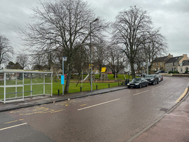
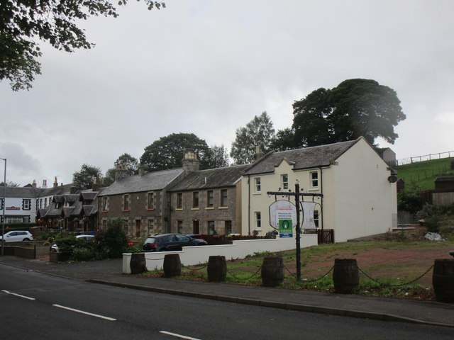
Ravenstruther is a small village located in the county of Lanarkshire, Scotland. It is situated near the towns of Lanark and Carluke, and lies approximately 30 miles southeast of Glasgow. The village is primarily residential, with a population of around 600 residents.

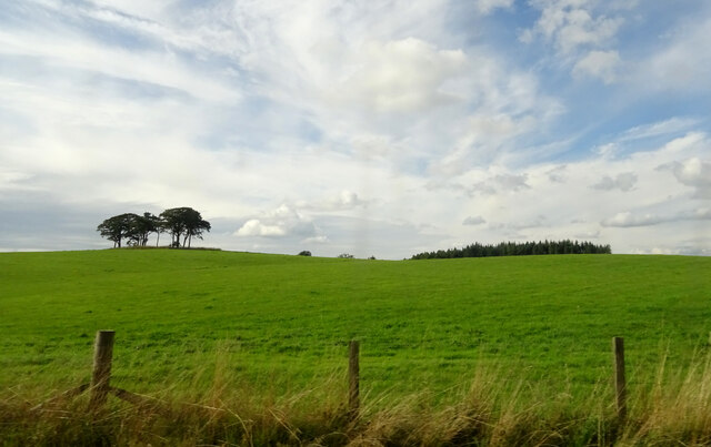
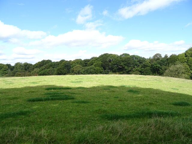
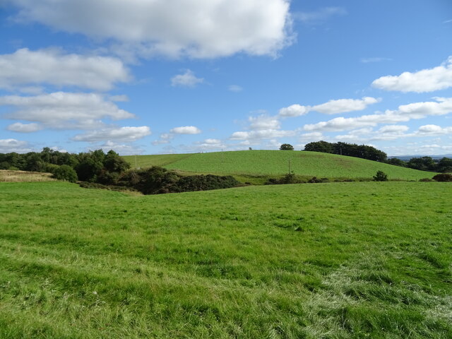
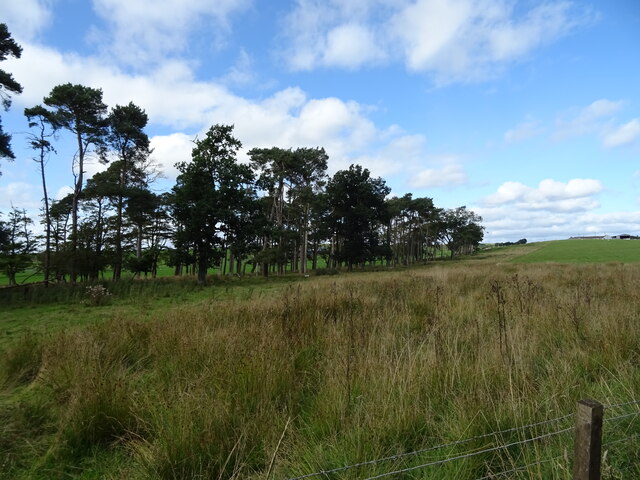
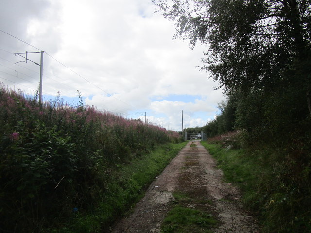
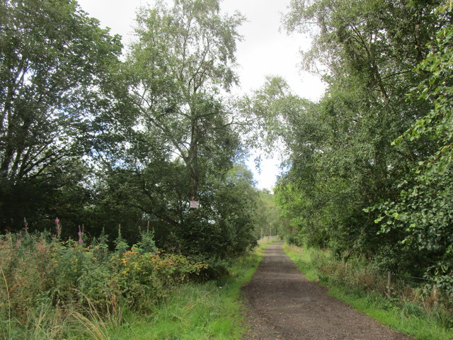
Ravenstruther is known for its picturesque countryside, surrounded by rolling hills and farmland. The village itself is characterized by a mix of traditional stone houses and more modern buildings. It has a quiet and tranquil atmosphere, making it an ideal place for those seeking a peaceful rural lifestyle.

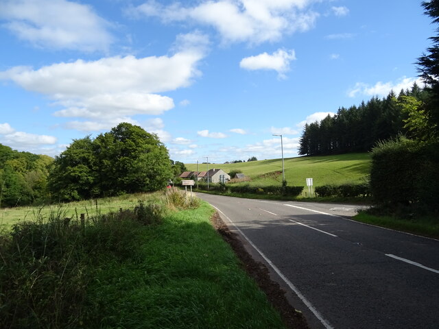
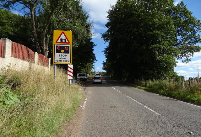
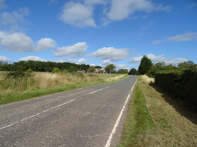
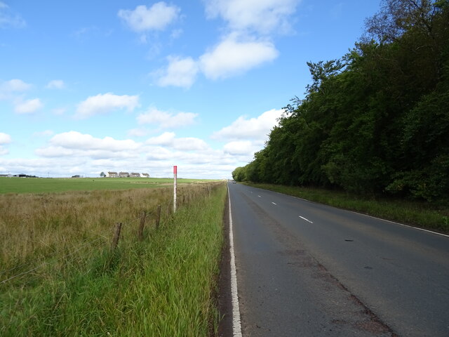
Despite its small size, Ravenstruther is well-connected to surrounding areas. The nearby towns of Lanark and Carluke offer a range of amenities including schools, shops, and healthcare facilities. Additionally, the village benefits from good transport links, with regular bus services connecting it to the wider region.

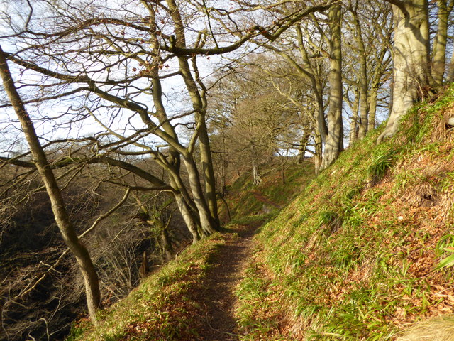
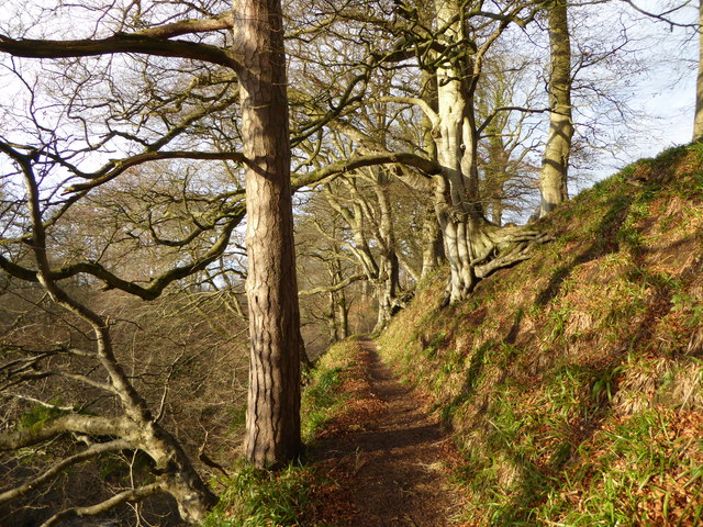
One notable feature of Ravenstruther is its proximity to the Clyde Valley, a popular tourist destination known for its stunning scenery and historic attractions. Visitors to the area can explore the picturesque Falls of Clyde, ancient castles, and charming villages.

In summary, Ravenstruther is a charming village in Lanarkshire, Scotland, offering a peaceful and scenic setting for its residents. Despite its small size, the village benefits from good transport links and easy access to nearby towns. With its rural charm and proximity to the Clyde Valley, Ravenstruther offers a desirable location for those seeking a tranquil lifestyle in the heart of Scotland.

If you have any feedback on the listing, please let us know in the comments section below.

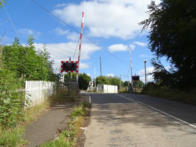
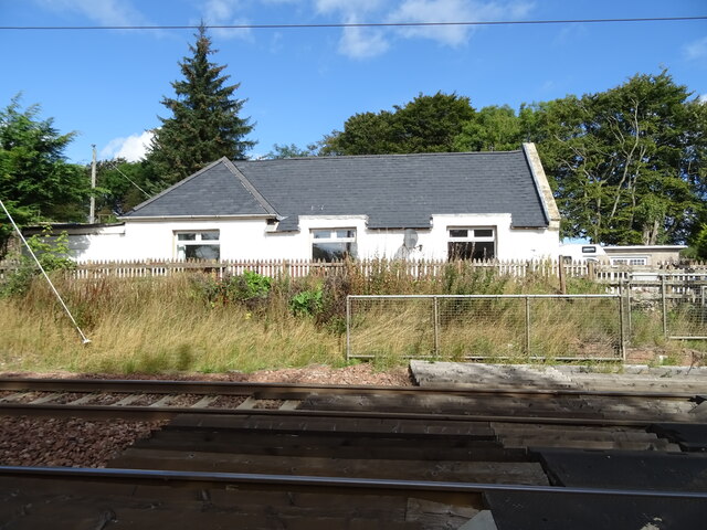
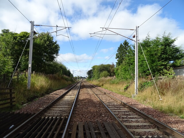
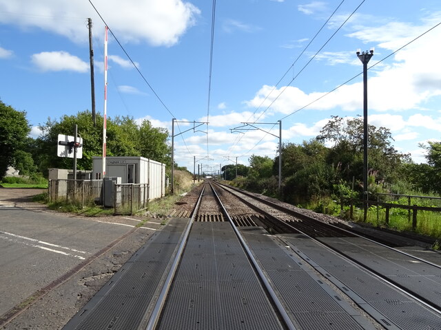
Ravenstruther Images

Images are sourced within 2km of 55.687249/-3.718246 or Grid Reference NS9245. Thanks to Geograph Open Source API. All images are credited.

Grazing near Northfaulds
Grazing towards the Mouse Water, Cleghorn Off the A706.
Grazing towards the Mouse Water, Cleghorn
Off the A706.
Junction on the A706, Cleghorn
Approaching level crossing on the A706, Cleghorn
Level crossing on the A706, Cleghorn
Former station, Cleghorn
Railway towards Wishaw Site of the former Cleghorn Station.
Railway towards Wishaw
Site of the former Cleghorn Station.
Level crossing on the A706, Cleghorn Line towards Lanark.
Level crossing on the A706, Cleghorn
Line towards Lanark.
Grazing and woodland, Stobilee
Stanmore Road (A706) Towards Forth.
Stanmore Road (A706)
Towards Forth.
Rough coastal grazing and strip of woodland near Whitelees Off Stanmore Road (A706).
Rough coastal grazing and strip of woodland near Whitelees
Off Stanmore Road (A706).
Stanmore Road (A706) beside woodland Towards Forth.
Stanmore Road (A706) beside woodland
Towards Forth.
Carstairs centre
Carstairs centre
Path in Cleghorn Glen Nature Reserve In this section of the reserve, there is a deep gorge where the Mouse Water flows 80 feet or so below.
Path in Cleghorn Glen Nature Reserve
In this section of the reserve, there is a deep gorge where the Mouse Water flows 80 feet or so below.
Winter sunlight in Cleghorn Glen In this section of the reserve, there is a deep gorge where the Mouse Water flows 80 feet or so below.
Winter sunlight in Cleghorn Glen
In this section of the reserve, there is a deep gorge where the Mouse Water flows 80 feet or so below.
Houses on Lanark Road, Carstairs
Track to the sewage works, Carstairs Runs alongside The West Coast Main Line.
Track to the sewage works, Carstairs
Runs alongside The West Coast Main Line.
Track to Westwalk Wood
Show me another place!

Ravenstruther is located at Grid Ref: NS9245 (Lat: 55.687249, Lng: -3.718246)

Unitary Authority: South Lanarkshire

Police Authority: Lanarkshire

What 3 Words

///stunts.emperor.rucksack. Near Lanark, South Lanarkshire

Related Wikis

Ravenstruther

Ravenstruther (Scots: Raenstrie) is a small hamlet in South Lanarkshire, Scotland, near the town of Lanark. In 1517 the lands of Carstairs and Ravenstruther...

Ravenstruther Rail Terminal

Ravenstruther Rail Terminal is a freight handling facility near Ravenstruther in Scotland. == History == The terminal was formerly operated by Scottish...

Cleghorn, South Lanarkshire

Cleghorn is a village in Lanark in South Lanarkshire, Scotland. Cleghorn Village is around 2+1⁄4 miles (3.6 km) north-east of Lanark town, and is a small...

Cleghorn railway station

Cleghorn railway station served the village of Cleghorn, South Lanarkshire, Scotland from 1848 to 1965 on the Caledonian main line. == History == The station...

Carstairs

Carstairs (, Scottish Gaelic: Caisteal Tarrais) is a village in South Lanarkshire, Scotland. Carstairs is located 5 miles (8 kilometres) east of the county...

Carstairs Castle

Carstairs Castle was a stronghold in the east of Carstairs, a short distance from the current site of Carstairs Parish Church. Now long gone, it dates...

Carstairs House

Carstairs House, also known as Monteith House, is a country house 1.5 kilometres (0.93 mi) south-west of Carstairs South Lanarkshire, Scotland. The house...
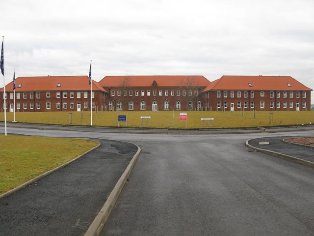
Winston Barracks

Winston Barracks was a British Army base, located 2 miles (3.2 km) east of Lanark, Scotland. It was situated in the fork of the A73 and A70 trunk roads...

Related Videos

Tip #1! Walking your dog and kids drive you crazy! Don’t be a dull dud and run!

Race time!!! Worth watching until the end...crazy kids. Www.jensjaunts.co.uk.

Lanark Loch

For a change the loch was very quiet normally you can't get a space to park but today it was deserted so we took advantage of ...

Nearby Amenities

Located within 500m of 55.687249,-3.718246
Ravenstruther
Is In: South Lanarkshire
Name Sco: Renstrie
Place: village
Wikidata: Q7296556
Lat/Long: 55.6855354/-3.7227982
Bus Stop
Westbank Terrace
Naptan AtcoCode: 61501243
Naptan Bearing: SW
Naptan CommonName: Westbank Terrace
Naptan Indicator: At Westbank Terrace
Naptan Landmark: Westbank Terrace
Naptan NaptanCode: 75235638
Naptan Street: Lanark Road
Naptan Verified: no
Source: naptan_import
Lat/Long: 55.6861999/-3.7205181
Bus Stop
Silvermuir Road
Naptan AtcoCode: 61501244
Naptan Bearing: NE
Naptan CommonName: Silvermuir Road
Naptan Indicator: Before Silvermuir Road
Naptan Landmark: Silvermuir Road
Naptan NaptanCode: 75235982
Naptan Street: Lanark Road
Naptan Verified: no
Source: naptan_import
Lat/Long: 55.686384/-3.720208
Bus Stop
Silvermuir Road
Naptan AtcoCode: 61501245
Naptan Bearing: SW
Naptan CommonName: Silvermuir Road
Naptan Indicator: Opp Silvermuir Road
Naptan Landmark: Silvermuir Road
Naptan NaptanCode: 75235484
Naptan Street: Lanark Road
Naptan Verified: no
Source: naptan_import
Lat/Long: 55.6871224/-3.717536
Bus Stop
Ayr Road
Naptan AtcoCode: 61501246
Naptan Bearing: SW
Naptan CommonName: Ayr Road
Naptan Indicator: At Ayr Road
Naptan Landmark: Ayr Road
Naptan NaptanCode: 75235629
Naptan Street: Lanark Road
Naptan Verified: no
Source: naptan_import
Lat/Long: 55.6875975/-3.714407
Bus Stop
Ayr Road
Naptan AtcoCode: 61501247
Naptan Bearing: NE
Naptan CommonName: Ayr Road
Naptan Indicator: Opp Ayr Road
Naptan Landmark: Ayr Road
Naptan NaptanCode: 75232689
Naptan Street: Corbiehall Terrace
Naptan Verified: no
Source: naptan_import
Lat/Long: 55.6878536/-3.7134478
March Stone - The Grubyett
Description: Boundary stone of the Royal Burgh of Lanark
Historic: monument
Lat/Long: 55.683455/-3.7220857
Ravenstruther
Siren
Description: Used to alert local residents of a patient being unaccounted for at the State Hospital. Tested on the third Thursday of every month.All clear / test signal: 3x 30 second blastsAlert: continuous 8 minute blast
Emergency: siren
Operator: NHS Scotland
Siren Purpose: escape
Siren Type: pneumatic
Lat/Long: 55.6869075/-3.717249
Power: pole
Lat/Long: 55.6831902/-3.7161472
Power: pole
Lat/Long: 55.6840311/-3.7162396
Power: pole
Lat/Long: 55.6848587/-3.7163411
Power: pole
Lat/Long: 55.6857089/-3.7164363
Power: pole
Lat/Long: 55.6865687/-3.7162248
Power: pole
Lat/Long: 55.6874416/-3.7160132
Power: pole
Lat/Long: 55.6882524/-3.7158377
Power: pole
Lat/Long: 55.6890537/-3.7156515
Power: pole
Lat/Long: 55.689663/-3.7154929
Power: pole
Lat/Long: 55.6895962/-3.7167324
Power: pole
Lat/Long: 55.6895473/-3.7177732
Power: pole
Lat/Long: 55.6894627/-3.7192687
Power: pole
Lat/Long: 55.68957/-3.7206712
Power: pole
Lat/Long: 55.689663/-3.7220779
Power: pole
Lat/Long: 55.6897131/-3.7228309
Power: pole
Lat/Long: 55.6898192/-3.7244343
Power: pole
Lat/Long: 55.6834288/-3.7176547
Power: pole
Lat/Long: 55.6836733/-3.719182
Power: pole
Lat/Long: 55.6838784/-3.7204512
Power: pole
Lat/Long: 55.6840692/-3.721659
Power: pole
Lat/Long: 55.6841646/-3.7228817
Power: pole
Lat/Long: 55.684291/-3.724244
Power: pole
Lat/Long: 55.6883788/-3.7241964
Power: pole
Lat/Long: 55.6893291/-3.7243487
Cleghorn Junction
Historic Railway: junction
Railway: site
Lat/Long: 55.6891466/-3.7241771
Give Way
Direction: forward
Lat/Long: 55.6876467/-3.7140142
Give Way
Direction: forward
Lat/Long: 55.6856604/-3.7146154
Noexit: yes
Lat/Long: 55.6874029/-3.7133347
Noexit: yes
Lat/Long: 55.6875987/-3.7133534
The data included in this document is from www.openstreetmap.org. The data is made available under ODbL.

Have you been to Ravenstruther?

Leave your review of Ravenstruther below (or comments, questions and feedback).