Glensone Plantation

Wood, Forest in Kirkcudbrightshire

Scotland

Glensone Plantation

Old Milestone opposite Brambling Cottage Milestone by the UC road, in parish of New Abbey (Nithsdale District), Brambling, nearly opposite a small cottage. An earlier photograph can be found here <a title="https://www.geograph.org.uk/photo/6102343" href="https://www.geograph.org.uk/photo/6102343">Link</a>.

Inscription reads:-
: New Abbey / 3¾ : : Killywhan / 2 : 

Milestone Society National ID: DG_NABW04
Old Milestone opposite Brambling Cottage Credit: Wayne MacDonald

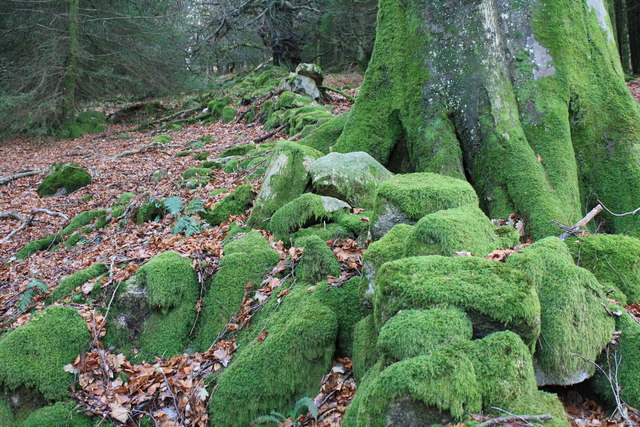
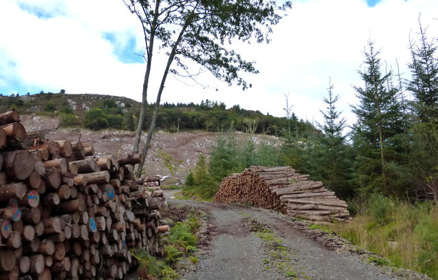
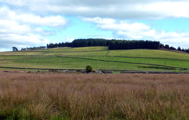
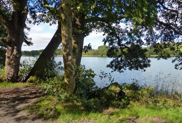
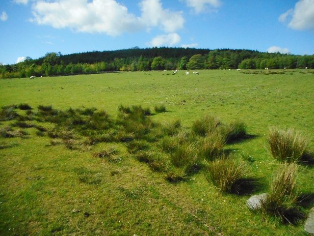
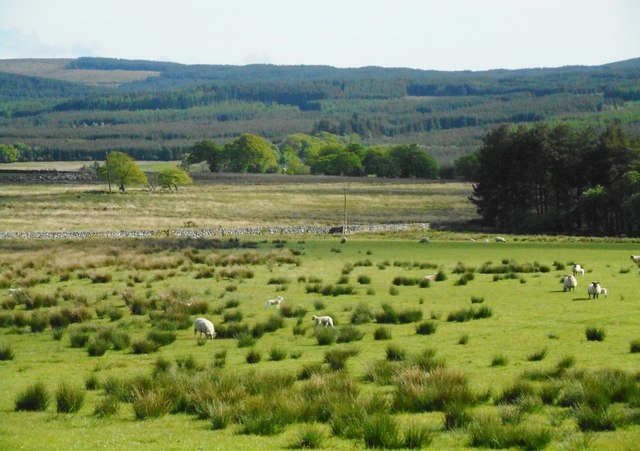
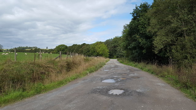
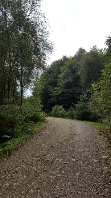
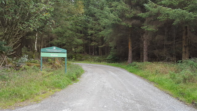
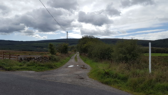
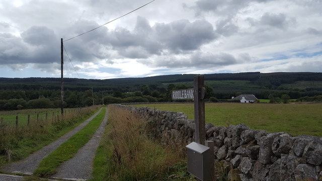
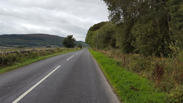
Glensone Plantation is located in Kirkcudbrightshire, Scotland, and is known for its lush woodlands and forests. The plantation covers a vast area of land, with a variety of tree species such as oak, beech, and pine creating a diverse and thriving ecosystem. The landscape is characterized by rolling hills and meandering streams, providing a picturesque setting for visitors to enjoy.

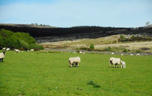
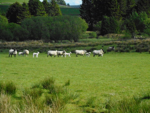
The plantation is home to a range of wildlife, including deer, squirrels, and various bird species, making it a popular destination for nature enthusiasts and bird watchers. The tranquil atmosphere of Glensone Plantation offers a peaceful retreat for those looking to escape the hustle and bustle of city life.

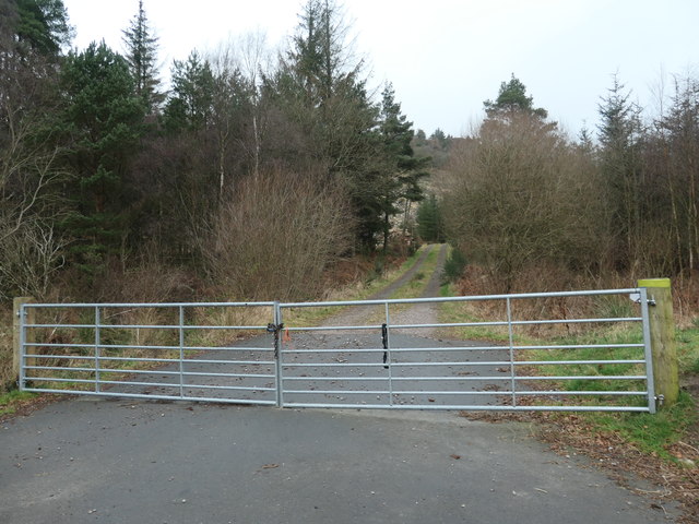
Visitors can explore the plantation on foot, following winding trails that lead through the forest and offer stunning views of the surrounding countryside. The plantation is also a popular spot for picnics and outdoor activities, with designated areas for camping and recreational use.

Overall, Glensone Plantation is a beautiful and serene destination that showcases the natural beauty of Kirkcudbrightshire, making it a must-visit for anyone looking to experience the tranquility of Scotland's woodlands.

If you have any feedback on the listing, please let us know in the comments section below.

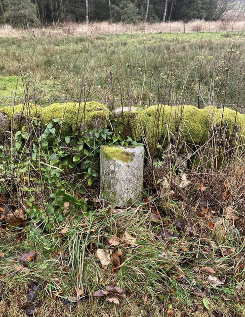
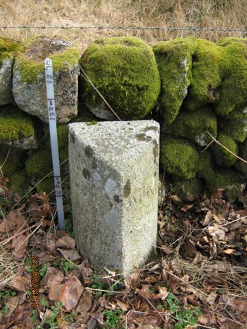
Glensone Plantation Images

Images are sourced within 2km of 54.996891/-3.693127 or Grid Reference NX9168. Thanks to Geograph Open Source API. All images are credited.

Old Milestone opposite Brambling Cottage Milestone by the UC road, in parish of New Abbey (Nithsdale District), Brambling, nearly opposite a small cottage. An earlier photograph can be found here <a title="https://www.geograph.org.uk/photo/6102343" href="https://www.geograph.org.uk/photo/6102343">Link</a>.

Inscription reads:-
: New Abbey / 3¾ : : Killywhan / 2 : 

Milestone Society National ID: DG_NABW04
Old Milestone opposite Brambling Cottage
Milestone by the UC road, in parish of New Abbey (Nithsdale District), Brambling, nearly opposite a small cottage. An earlier photograph can be found here Link. Inscription reads:- : New Abbey / 3¾ : : Killywhan / 2 : Milestone Society National ID: DG_NABW04
Moss on stones Thick green moss cover large boulders on the lower slopes of Lotus Hill.
Moss on stones
Thick green moss cover large boulders on the lower slopes of Lotus Hill.
Timber Operations in Auchengray Forest This view compares well with <a href="https://www.geograph.org.uk/photo/3194340">NX9367 : A track into the Auchengray Plantation</a> taken in 2012.
Timber Operations in Auchengray Forest
This view compares well with NX9367 : A track into the Auchengray Plantation taken in 2012.
Towards Auchengray Hill Looking across some low-level rough ground towards Auchengray Hill, in the next square.
Towards Auchengray Hill
Looking across some low-level rough ground towards Auchengray Hill, in the next square.
Loch Arthur Shore A popular spot for anglers hoping to land a large pike.
Loch Arthur Shore
A popular spot for anglers hoping to land a large pike.
Field beside Glensone Plantation
Field with sheep Near Glensone.
Field with sheep
Near Glensone.
Field with sheep Near Glensone.
Field with sheep
Near Glensone.
Farmland near Glensone
The track from the car park Leaving the car park at Kissock Forest, near Beeswing.
The track from the car park
Leaving the car park at Kissock Forest, near Beeswing.
A track on Lotus Hill Forest track on the side of Lotus Hill.
A track on Lotus Hill
Forest track on the side of Lotus Hill.
Entrance to Mabie Forest One of many tracks into Mabie Forest near to Beeswing.
Entrance to Mabie Forest
One of many tracks into Mabie Forest near to Beeswing.
Track to Drungans Farm The private road to Drungans Farm, near to Beeswing.
Track to Drungans Farm
The private road to Drungans Farm, near to Beeswing.
Track to Riddlebank The private track to Riddlebank cottage.
Track to Riddlebank
The private track to Riddlebank cottage.
The road to Beeswing The road from New Abbey heading towards Beeswing.
The road to Beeswing
The road from New Abbey heading towards Beeswing.
Old Milestone near Riddlebank, New Abbey parish Milestone by the UC road, in parish of New Abbey (Nithsdale District), Riddlebank, just East of, and opposite track to house.

Inscription once read:-
: (Killywhan / 3) : : (New Abbey / 2¾) :   

Surveyed

Milestone Society National ID: DG_NABW03
Old Milestone near Riddlebank, New Abbey parish
Milestone by the UC road, in parish of New Abbey (Nithsdale District), Riddlebank, just East of, and opposite track to house. Inscription once read:- : (Killywhan / 3) : : (New Abbey / 2¾) : Surveyed Milestone Society National ID: DG_NABW03
Old Milestone opposite Brambling Cottage Milestone by the UC road, in parish of New Abbey (Nithsdale District), Brambling, nearly opposite a small cottage.

Inscription reads:-
: New Abbey / 3¾ : : Killywhan / 2 :   

Surveyed

Milestone Society National ID: DG_NABW04
Old Milestone opposite Brambling Cottage
Milestone by the UC road, in parish of New Abbey (Nithsdale District), Brambling, nearly opposite a small cottage. Inscription reads:- : New Abbey / 3¾ : : Killywhan / 2 : Surveyed Milestone Society National ID: DG_NABW04
Forestry track into Auchengray plantation Skirting Auchengray Hill.
Forestry track into Auchengray plantation
Skirting Auchengray Hill.
Show me another place!

Glensone Plantation is located at Grid Ref: NX9168 (Lat: 54.996891, Lng: -3.693127)

Unitary Authority: Dumfries and Galloway

Police Authority: Dumfries and Galloway

What 3 Words

///tolerates.putts.pays. Near Dumfries, Dumfries & Galloway

Related Wikis

Loch Arthur logboat

The Loch Arthur logboat or dugout canoe (also called Loch Arthur 1, Loch Lotus or Lotus Loch) was found in 1874 when the water level was low on the south...

Loch Arthur

Loch Arthur (also known as Loch Lotus) is a lake in the council area of Dumfries and Galloway in Scotland near the village of Beeswing.Loch Arthur lies...

Lochaber Loch

Lochaber Loch is a small, lowland freshwater loch that lies among steep-sided hills, approximately 4.5 mi (7.2 km) to the west of Dumfries, Scotland. The...

Beeswing, Dumfries and Galloway

Beeswing is a small village in the historical county of Kirkcudbrightshire in Scotland. == Etymology == Before Beeswing became known as Beeswing, it was...

Nearby Amenities

Located within 500m of 54.996891,-3.693127
Glensone Hill
Natural: peak
Lat/Long: 54.9995698/-3.6957328
Passing Place
Lat/Long: 54.9973722/-3.6914835
Power: pole
Lat/Long: 54.9943108/-3.6994363
Power: pole
Lat/Long: 54.9938812/-3.6982292
Power: pole
Lat/Long: 54.9934613/-3.6970857
Power: pole
Lat/Long: 54.9930646/-3.6960186
Power: pole
Lat/Long: 54.9926046/-3.69475
Power: pole
Lat/Long: 54.992781/-3.6930422
Power: pole
Lat/Long: 54.9933932/-3.6921534
Power: pole
Lat/Long: 54.9939214/-3.6913939
Power: pole
Lat/Long: 54.9944751/-3.6906089
Power: pole
Lat/Long: 54.9950069/-3.6898346
Power: pole
Lat/Long: 54.9955217/-3.6891155
Power: pole
Lat/Long: 54.9960291/-3.6884133
Power: pole
Lat/Long: 54.996567/-3.6876368
Power: pole
Lat/Long: 54.9971451/-3.6867946
Power: pole
Lat/Long: 54.9976939/-3.6859948
The data included in this document is from www.openstreetmap.org. The data is made available under ODbL.

Have you been to Glensone Plantation?

Leave your review of Glensone Plantation below (or comments, questions and feedback).