Daisylea Plantation
Wood, Forest in West Lothian
Scotland
Daisylea Plantation
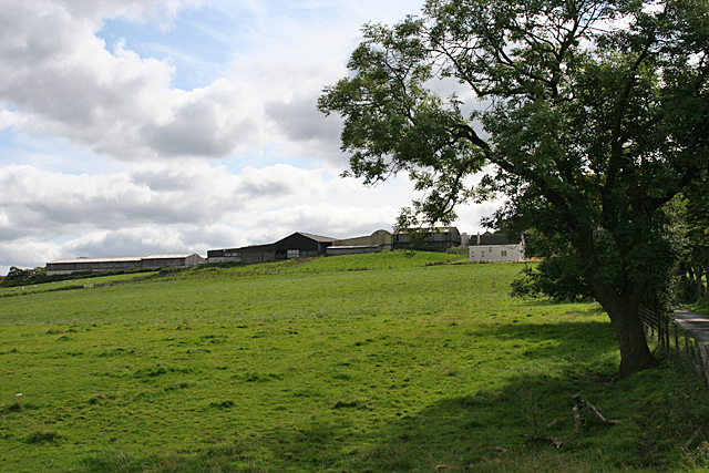
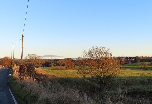
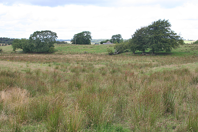
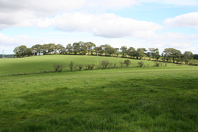
Daisylea Plantation is a picturesque wooded area located in West Lothian, Scotland. Spanning over several acres, it is a haven for nature enthusiasts and hikers alike. The plantation is known for its dense forests, lush greenery, and diverse wildlife, making it a popular destination for those seeking a tranquil escape from the bustling city life.
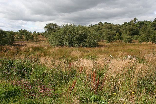
The woodlands of Daisylea Plantation are predominantly composed of native tree species such as oak, birch, and pine, creating a rich and vibrant ecosystem. The tall, majestic trees provide ample shade and shelter, forming a canopy that adds to the enchanting atmosphere of the area. The forest floor is covered in a carpet of moss and ferns, adding to the natural beauty of the surroundings.
The plantation is home to numerous wildlife species, including deer, foxes, rabbits, and a variety of bird species. The area offers a sanctuary for these creatures, allowing them to thrive in their natural habitat undisturbed. Birdwatchers can spot species such as woodpeckers, owls, and various migratory birds throughout the year.
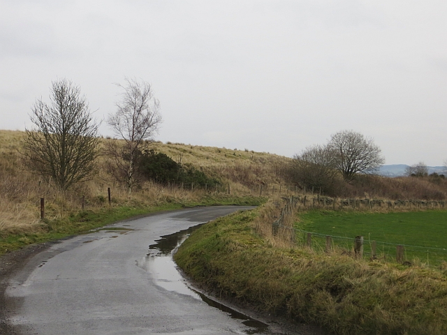
For outdoor enthusiasts, Daisylea Plantation offers a network of well-maintained trails and pathways that crisscross through the woodlands. These paths provide an opportunity for visitors to explore the plantation at their own pace, taking in the sights and sounds of nature. The plantation also features picnic areas and benches, allowing visitors to relax and immerse themselves in the tranquility of the surroundings.
Overall, Daisylea Plantation is a hidden gem in West Lothian, providing a serene and picturesque escape for those seeking solace in nature.
If you have any feedback on the listing, please let us know in the comments section below.
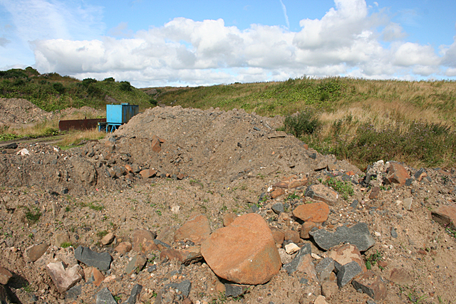
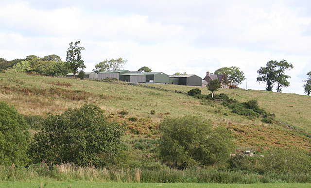
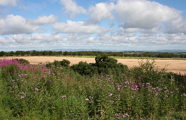
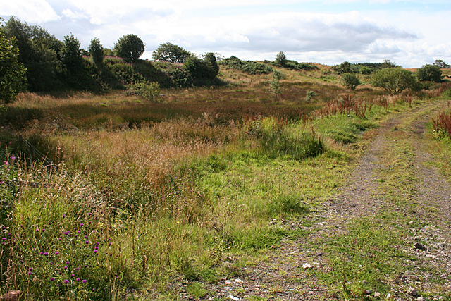
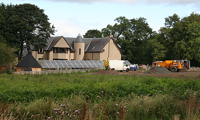
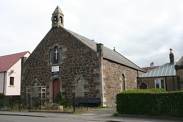
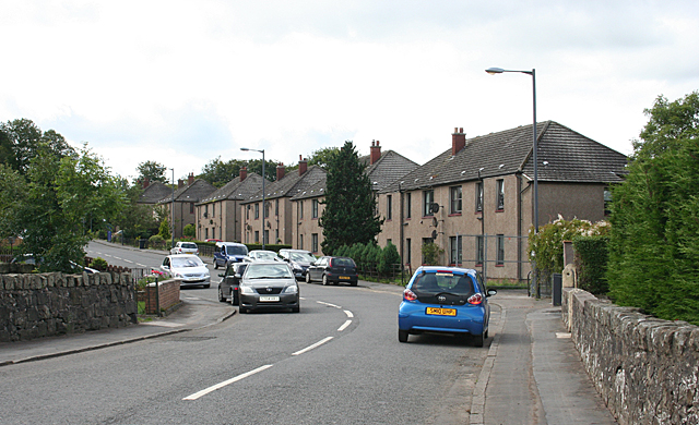
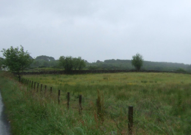
Daisylea Plantation Images
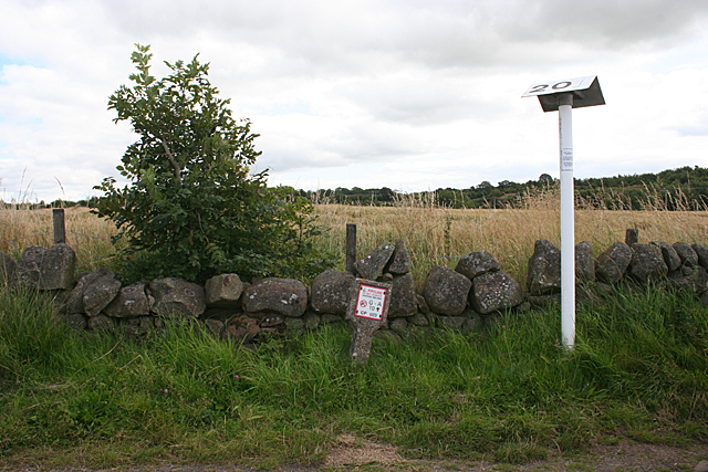
Images are sourced within 2km of 55.920418/-3.7331912 or Grid Reference NS9171. Thanks to Geograph Open Source API. All images are credited.

Daisylea Plantation is located at Grid Ref: NS9171 (Lat: 55.920418, Lng: -3.7331912)
Unitary Authority: West Lothian
Police Authority: The Lothians and Scottish Borders
What 3 Words
///paving.valuables.dreams. Near Armadale, West Lothian
Nearby Locations
Related Wikis

Avonbridge
Avonbridge (Scottish Gaelic: Drochaid na h-Aibhne) is a small village which lies within the Falkirk council area of Scotland. The village is 4.8 miles...
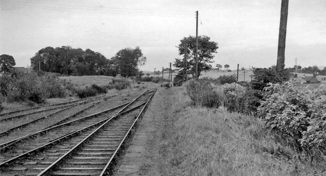
Blackston Junction railway station
Blackston Junction railway station served the area of Blackston, Falkirk, Scotland, from 1863 to 1963 on the Slamannan Railway. == History == The station...

Avonbridge railway station
Avonbridge railway station was a station on the Slamannan Railway. The line connected mines and villages in the Central Scotland. == History == Opened...

Westfield, West Lothian
Westfield (Scottish Gaelic: an t-Achadh Siar) is a small village of around 180 houses located in the parish of Torphichen in West Lothian, Scotland....
Related Videos

A stroll to Wallace Cave in West Lothian (4K)
In this video, I show how to get to the Wallace Cave in Westfield, West Lothian, and explain the history behind it as well.

WESTFIELD RAILWAY VIADUCT
Me and Wee Jimmy managed to get the same day off so we went out hunting for good spots to fly this is one of them.
Nearby Amenities
Located within 500m of 55.920418,-3.7331912Have you been to Daisylea Plantation?
Leave your review of Daisylea Plantation below (or comments, questions and feedback).