Toft Plantation
Wood, Forest in West Lothian
Scotland
Toft Plantation
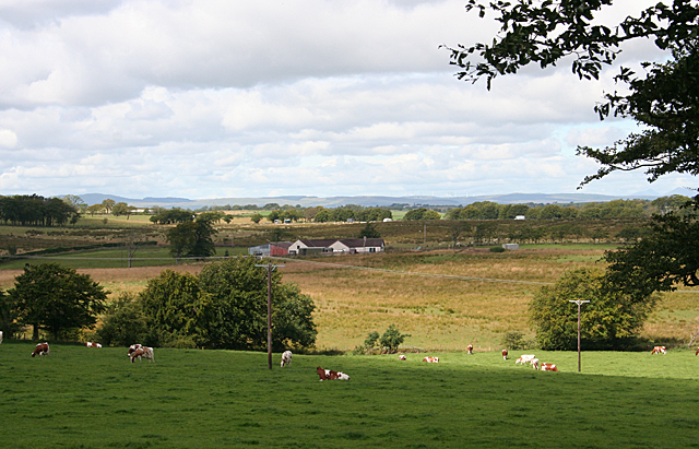
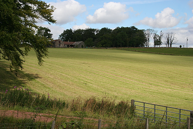
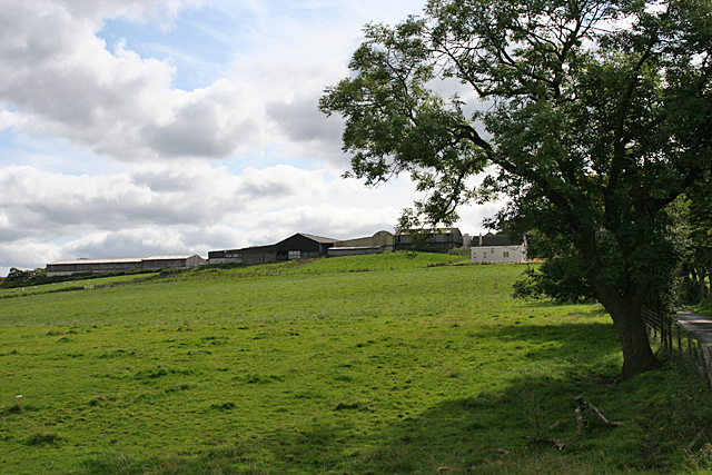
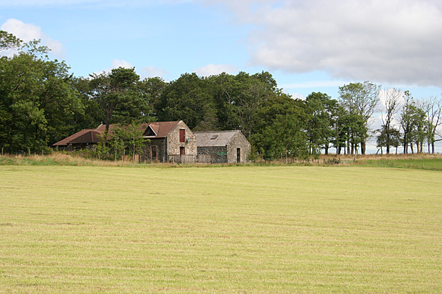
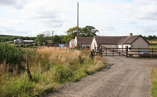
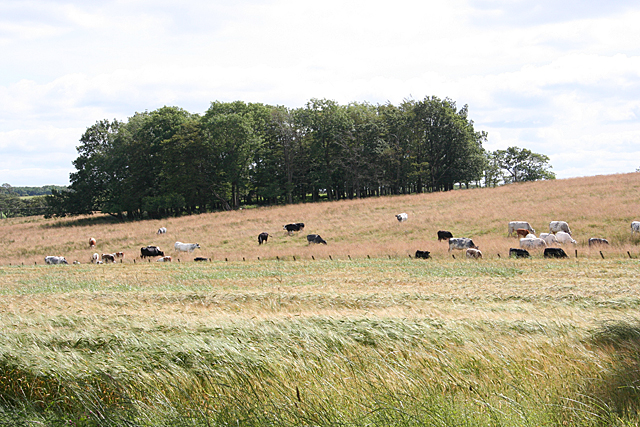
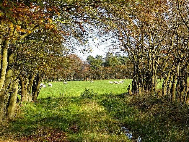
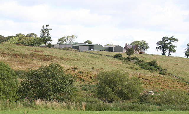
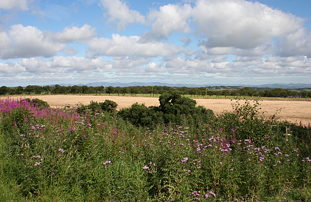
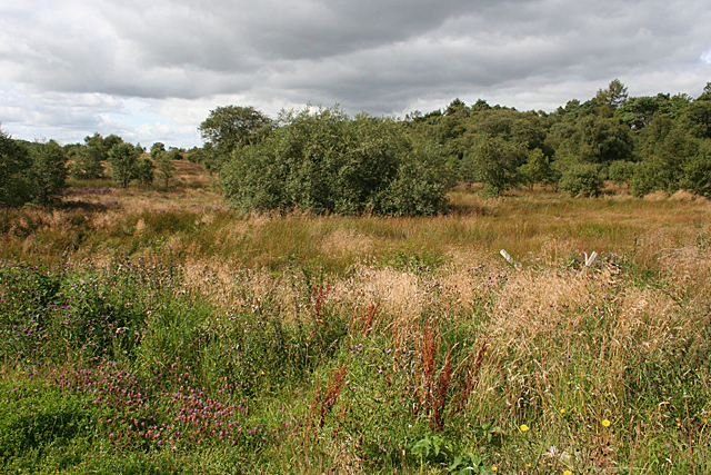
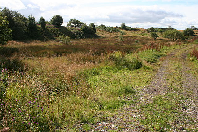
Toft Plantation, located in West Lothian, Scotland, is a picturesque woodland area covering approximately 250 acres. The plantation is situated just south of the village of East Calder and is a popular destination for nature enthusiasts and outdoor lovers.
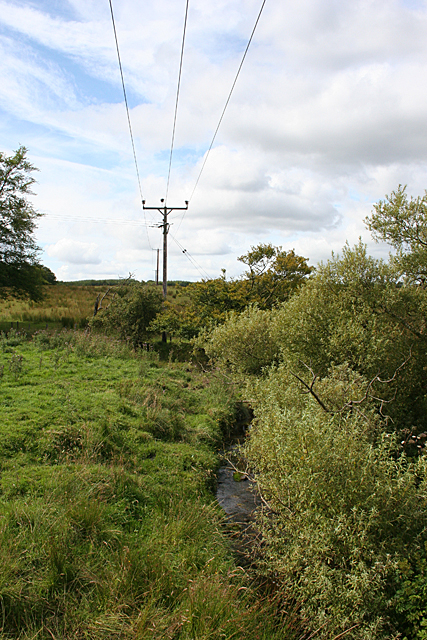
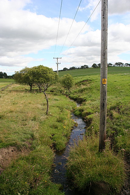
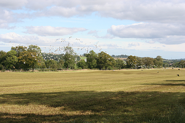
The plantation is primarily composed of a mix of broadleaf and coniferous trees, including oak, beech, pine, and spruce, creating a diverse and vibrant forest. These trees provide a rich habitat for a variety of wildlife, making it an ideal spot for birdwatching and animal spotting. Visitors may be lucky enough to catch a glimpse of red squirrels, roe deer, or various species of birds such as woodpeckers and owls.
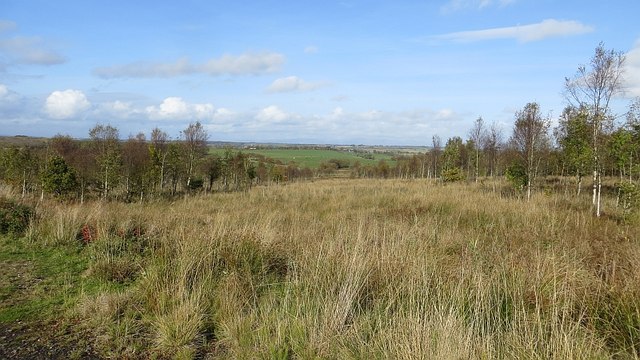
A network of well-maintained trails and paths wind through the plantation, allowing visitors to explore the woodland at their own pace. The paths are suitable for both walkers and cyclists, offering opportunities for leisurely strolls or more challenging hikes. Along the way, visitors can enjoy the tranquil atmosphere and beautiful views of the surrounding countryside.
Toft Plantation is also home to a number of historical features, including remnants of old stone walls that once formed part of the estate's boundaries. These historical elements add a sense of charm and character to the woodland, providing a glimpse into its past.
Whether you are seeking a peaceful retreat in nature, an opportunity to observe wildlife, or a chance to explore the Scottish countryside, Toft Plantation in West Lothian is a must-visit destination. Its stunning woodland, diverse wildlife, and well-maintained trails make it an ideal location for outdoor enthusiasts of all ages.
If you have any feedback on the listing, please let us know in the comments section below.
Toft Plantation Images
Images are sourced within 2km of 55.920763/-3.7437368 or Grid Reference NS9171. Thanks to Geograph Open Source API. All images are credited.

Toft Plantation is located at Grid Ref: NS9171 (Lat: 55.920763, Lng: -3.7437368)
Unitary Authority: West Lothian
Police Authority: The Lothians and Scottish Borders
What 3 Words
///latitudes.helm.parkland. Near Blackridge, West Lothian
Nearby Locations
Related Wikis

Avonbridge
Avonbridge (Scottish Gaelic: Drochaid na h-Aibhne) is a small village which lies within the Falkirk council area of Scotland. The village is 4.8 miles...

Avonbridge railway station
Avonbridge railway station was a station on the Slamannan Railway. The line connected mines and villages in the Central Scotland. == History == Opened...
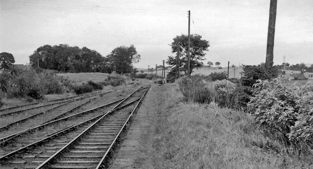
Blackston Junction railway station
Blackston Junction railway station served the area of Blackston, Falkirk, Scotland, from 1863 to 1963 on the Slamannan Railway. == History == The station...

Westfield, West Lothian
Westfield (Scottish Gaelic: an t-Achadh Siar) is a small village of around 180 houses located in the parish of Torphichen in West Lothian, Scotland....

Bridge Castle
Bridge Castle is an L-plan castle, dating from the 16th century, standing on a rocky site 3 miles (4.8 km) north west of Bathgate in West Lothian, Scotland...

Armadale Academy
Armadale Academy is a secondary school in Armadale, West Lothian. Opened in 1969, the academy moved to its current location in 2009. It is split into three...
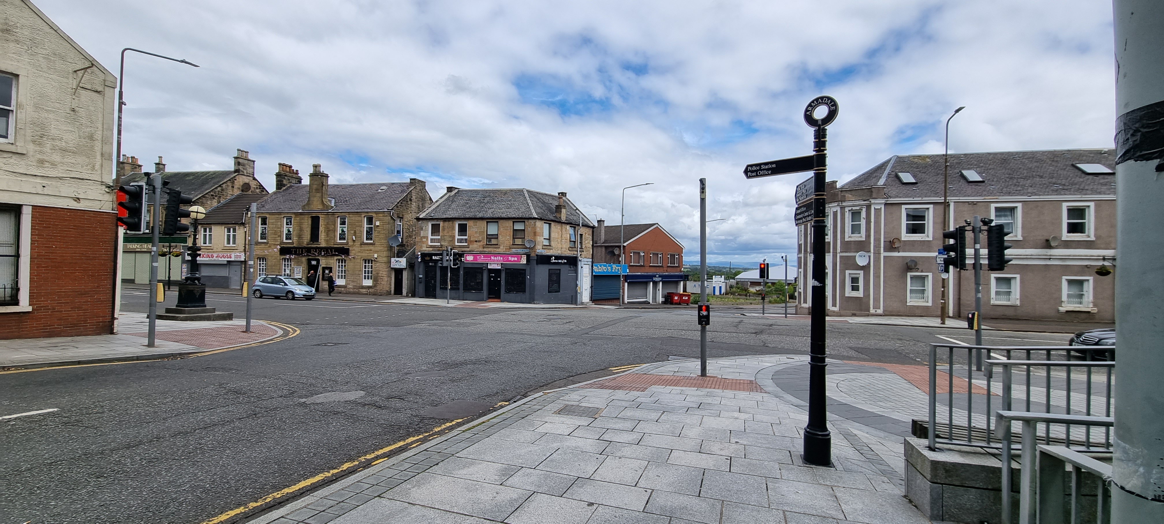
Armadale, West Lothian
Armadale (Scots: Airmadale, Scottish Gaelic: Armadal) is a town within the county of West Lothian in the Central Belt of Scotland. It lies to the west...
Volunteer Park, Armadale
Volunteer Park is a football ground in Armadale, West Lothian, Scotland. It is the home ground of Armadale Thistle, and was used by several of the town...
Nearby Amenities
Located within 500m of 55.920763,-3.7437368Have you been to Toft Plantation?
Leave your review of Toft Plantation below (or comments, questions and feedback).