Dod Wood
Wood, Forest in Lanarkshire
Scotland
Dod Wood
Dod Wood is a picturesque forest located in the county of Lanarkshire, Scotland. Spanning an area of approximately 50 hectares, it is a popular destination for nature enthusiasts and outdoor adventurers. The wood is situated near the village of Dod, providing a tranquil escape from the hustle and bustle of urban life.
The forest is predominantly composed of native broadleaf trees such as oak, birch, and beech, which create a diverse and vibrant ecosystem. The dense canopy provides shade and shelter for a variety of wildlife, including deer, squirrels, and birds. Visitors to Dod Wood often have the opportunity to spot these animals in their natural habitat.
There are several well-maintained walking trails within the wood, offering various lengths and difficulties to cater to different preferences. These paths wind through the forest, showcasing its natural beauty and allowing visitors to fully immerse themselves in the surroundings. The trails are clearly marked and provide informative signage about the woodland's flora and fauna.
Dod Wood also features a small lake, providing a peaceful spot for picnics or a moment of reflection. The tranquil water surface reflects the surrounding trees, creating a picturesque vista that is perfect for photography enthusiasts.
Overall, Dod Wood is a delightful destination for nature lovers, offering a serene escape into the heart of Lanarkshire's natural beauty. Whether it's a leisurely walk, wildlife spotting, or simply enjoying the peaceful ambiance, Dod Wood has something to offer for everyone.
If you have any feedback on the listing, please let us know in the comments section below.
Dod Wood Images
Images are sourced within 2km of 55.50774/-3.7143271 or Grid Reference NS9125. Thanks to Geograph Open Source API. All images are credited.


Dod Wood is located at Grid Ref: NS9125 (Lat: 55.50774, Lng: -3.7143271)
Unitary Authority: South Lanarkshire
Police Authority: Lanarkshire
What 3 Words
///ships.permanent.stylist. Near Douglas, South Lanarkshire
Nearby Locations
Related Wikis
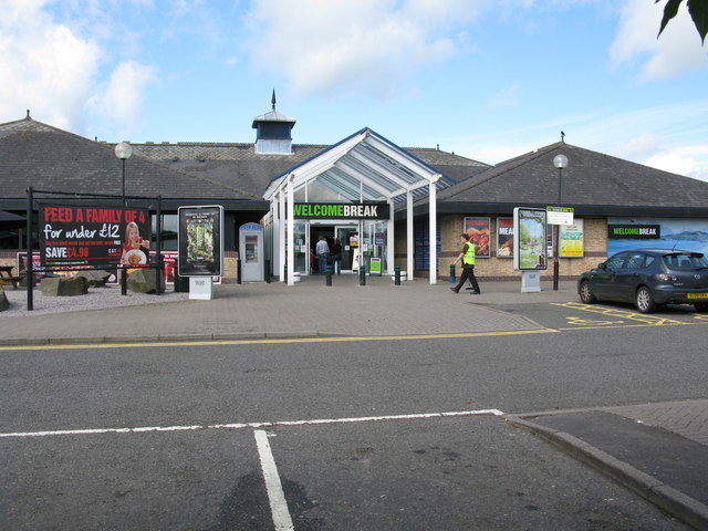
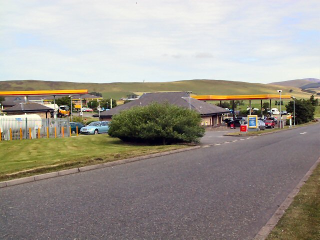
Abington services
Abington services is a motorway service station near the village of Abington, Scotland. The service station is located next to the M74 motorway and is...

Lanark and Hamilton East (UK Parliament constituency)
Lanark and Hamilton East is a county constituency of the House of Commons of the Parliament of the United Kingdom, which was first used at the 2005 general...

Duneaton Water
Duneaton Water is a river in South Lanarkshire, Scotland. It joins the River Clyde at Abington. == References ==

Abington, South Lanarkshire
Abington is a village in the Scottish council region of South Lanarkshire, close to the M74 motorway, marking the point where it changes name to the A74...

Abington railway station
Abington railway station was a station which served Abington, in the Scottish county of South Lanarkshire. It was served by local trains on what is now...
Crawfordjohn
Crawfordjohn (Scottish Gaelic: Creamhain Eòin) is a small village and civil parish of 117 residents located in South Lanarkshire, Scotland. It is three...

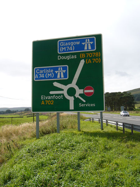
A702 road
The A702 is a major road in Scotland, that runs from Edinburgh to St. John's Town of Dalry in Dumfries and Galloway. It is the last section of the route...

Crawford Castle
Crawford Castle, substantially in ruins, is located on the north bank of the River Clyde, around 1⁄2 mile (800 metres) north of Crawford, South Lanarkshire...
Nearby Amenities
Located within 500m of 55.50774,-3.7143271Have you been to Dod Wood?
Leave your review of Dod Wood below (or comments, questions and feedback).