Colonel's Wood
Wood, Forest in West Lothian
Scotland
Colonel's Wood

Colonel's Wood is a picturesque forest located in West Lothian, Scotland. Covering an area of approximately 150 acres, the wood is a popular destination for nature enthusiasts and outdoor adventurers alike. It is situated near the village of Fauldhouse, just a short drive from the town of Bathgate.
The wood boasts a diverse range of flora and fauna, making it an ideal habitat for wildlife. Visitors can expect to see a variety of bird species, such as woodpeckers, owls, and finches, along with small mammals like red squirrels and rabbits. The forest floor is carpeted with bluebells in the spring, creating a stunning display of color.
The wood offers numerous walking trails, catering to all levels of fitness and ability. These well-maintained paths wind through the forest, providing visitors with the opportunity to immerse themselves in the tranquil surroundings. There are also designated picnic areas, allowing visitors to relax and enjoy a packed lunch amidst the natural beauty of the wood.
For those seeking a more adventurous experience, Colonel's Wood offers mountain biking trails. These challenging routes snake through the forest, providing an adrenaline-filled experience for thrill-seekers.
Colonel's Wood is managed by the local council, ensuring that it remains a pristine and well-preserved natural space for future generations to enjoy. It is a haven for wildlife, a sanctuary for outdoor activities, and a place of tranquility for all who visit.
If you have any feedback on the listing, please let us know in the comments section below.
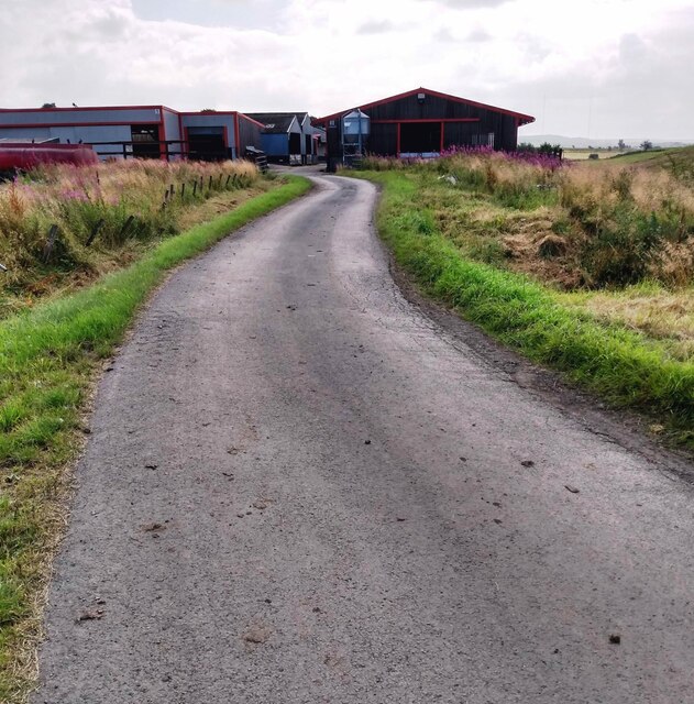
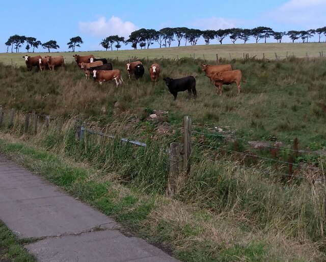
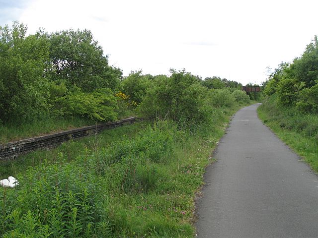
Colonel's Wood Images
Images are sourced within 2km of 55.900088/-3.7849238 or Grid Reference NS8868. Thanks to Geograph Open Source API. All images are credited.


Colonel's Wood is located at Grid Ref: NS8868 (Lat: 55.900088, Lng: -3.7849238)
Unitary Authority: West Lothian
Police Authority: The Lothians and Scottish Borders
What 3 Words
///rifled.gasping.beauty. Near Blackridge, West Lothian
Nearby Locations
Related Wikis

Blawhorn Moss
Blawhorn Moss is a raised bog located to the northwest of the village of Blackridge, about 6 kilometres (3.7 mi) west of Armadale in the council area of...

Blackridge, West Lothian
Blackridge (Scots: Blackrig, Scottish Gaelic: An Druim Dubh) is a small town in the western part of West Lothian, Scotland. The village name dates to 1581...

Hillend Loch Railway Path
The Hillend Loch Railway Path, also known as the Airdrie to Bathgate Railway Path, is a rail trail located in central Scotland. The path is approximately...
Westcraigs (1st station) railway station
Westcraigs railway station served the area of West Craigs (Blackridge) in West Lothian, Scotland, from 1862 to 1956 on the Bathgate and Coatbridge Railway...
Related Videos


Swift S 1 initial flights
Tomahawk Aviation Swift S-1 3,33m RC plane.
Goblin 700
Good to see S Nicol back on the sticks. New setup and in his words "Rusty" so just a gentle flight! Only lost traking it 2 times.

Tiger Moth - about to change owners
Short video of a RC Tiger Moth about to change hands to a new owner. Thankfully the skilled pilot avoided the usual outcome that ...
Nearby Amenities
Located within 500m of 55.900088,-3.7849238Have you been to Colonel's Wood?
Leave your review of Colonel's Wood below (or comments, questions and feedback).