Cleuch Plantation
Wood, Forest in Stirlingshire
Scotland
Cleuch Plantation
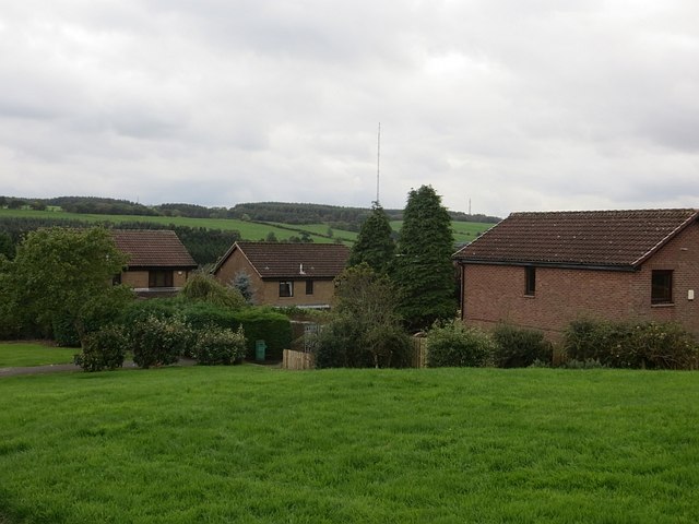
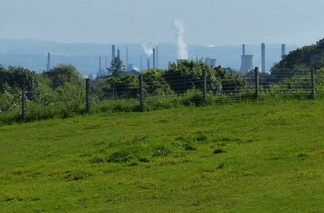
Cleuch Plantation is a picturesque woodland located in Stirlingshire, Scotland. Covering an area of approximately 200 hectares, it is nestled in the scenic surroundings of the Ochil Hills. The plantation is primarily composed of coniferous trees, including Sitka spruce and Scots pine, with some areas also featuring broadleaf species such as oak and birch.
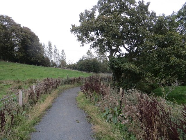
The woodland offers a peaceful and serene environment, attracting visitors who enjoy nature walks, hiking, and birdwatching. The diverse range of habitats within Cleuch Plantation provides a home to various wildlife species, including red squirrels, roe deer, and a variety of birds such as buzzards and woodpeckers. The presence of a nearby river adds to the charm of the plantation, attracting water-loving creatures like otters.
Managed by the Forestry Commission, Cleuch Plantation has a well-maintained network of paths and trails, making it accessible to both casual strollers and more adventurous explorers. The plantation also serves as an important timber resource, with sustainable forestry practices in place to ensure the preservation of the woodland's natural beauty.
Visitors to Cleuch Plantation can enjoy the tranquility of the surroundings, taking in the fresh air and enjoying the sights and sounds of nature. The area is particularly popular during the autumn months when the foliage transforms into a beautiful tapestry of vibrant colors. Whether seeking solace in nature or simply looking to immerse oneself in the beauty of a Scottish woodland, Cleuch Plantation offers a delightful experience for all who visit.
If you have any feedback on the listing, please let us know in the comments section below.
Cleuch Plantation Images
Images are sourced within 2km of 55.975209/-3.7883829 or Grid Reference NS8877. Thanks to Geograph Open Source API. All images are credited.


Cleuch Plantation is located at Grid Ref: NS8877 (Lat: 55.975209, Lng: -3.7883829)
Unitary Authority: Falkirk
Police Authority: Forth Valley
What 3 Words
///intelligible.rushed.foal. Near Hallglen, Falkirk
Nearby Locations
Related Wikis

Falkirk (council area)
Falkirk (; Scots: Fawkirk [ˈfɔːkɪrk]; Scottish Gaelic: An Eaglais Bhreac) is one of 32 unitary authority council areas of Scotland. It was formed on 1...

Glen Village
Glen Village is a settlement in the Falkirk council area of Scotland, situated at the southern end of Callendar Park, and around 1 mile (1.6 km) south...

Shieldhill, Falkirk
Shieldhill is a village within the Falkirk council area in Central Scotland. The village is 2.0 miles (3.2 km) south-east of Falkirk, 2.4 miles (3.9 km...
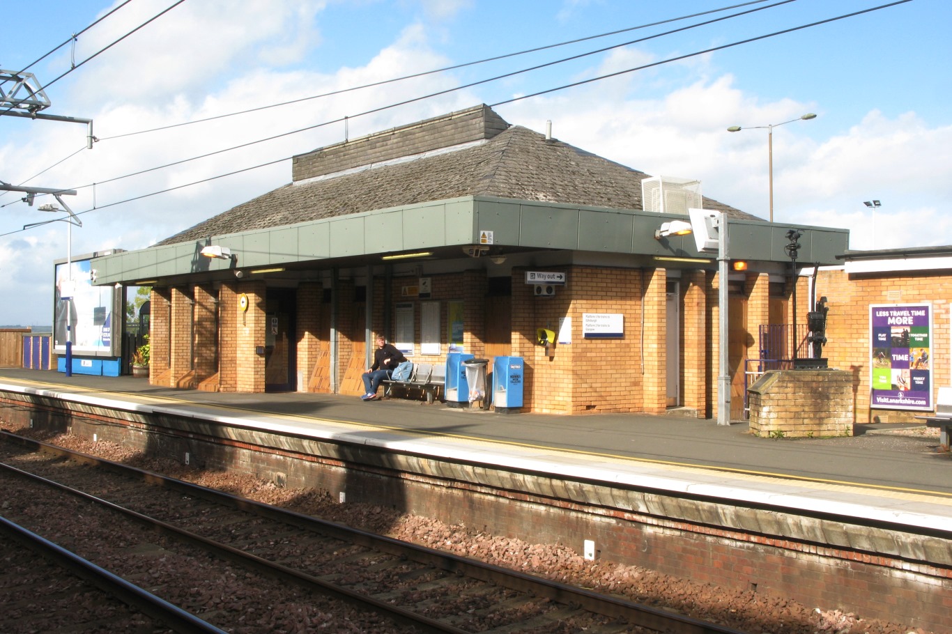
Falkirk High railway station
Falkirk High railway station is one of two railway stations serving the town of Falkirk in Scotland. It is on the Glasgow to Edinburgh via Falkirk Line...
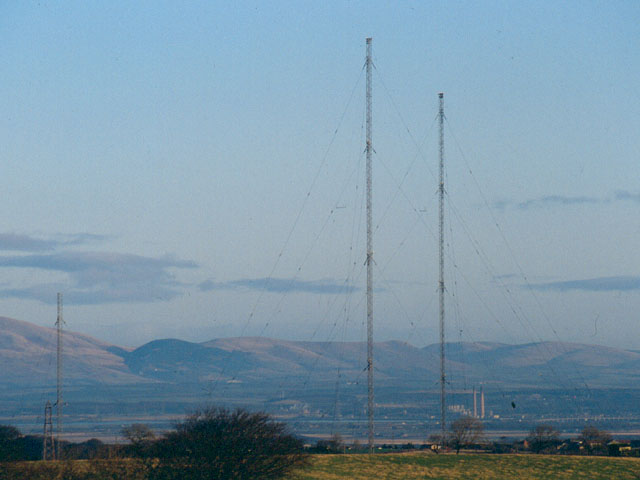
Westerglen transmitting station
The Westerglen transmitting station is a facility for longwave and mediumwave broadcasting established in 1932 at Westerglen Farm, 2 miles (3 km) south...

Battle of Falkirk Muir
The Battle of Falkirk Muir (Scottish Gaelic: Blàr na h-Eaglaise Brice), also known as the Battle of Falkirk, took place on 17 January 1746 during the Jacobite...

Battle of Falkirk
The Battle of Falkirk (Scottish Gaelic: Blàr na h-Eaglaise Brice), on 22 July 1298, was one of the major battles in the First War of Scottish Independence...

California, Falkirk
California (Scottish Gaelic: Calafòrnia) is a former pit village in the Falkirk council area of Scotland. It lies between Shieldhill and Avonbridge on...
Nearby Amenities
Located within 500m of 55.975209,-3.7883829Have you been to Cleuch Plantation?
Leave your review of Cleuch Plantation below (or comments, questions and feedback).